Elevation of Countryside Ranch Rd, Grass Valley, CA, USA
Location: United States > California > Nevada County > Grass Valley >
Longitude: -121.15061
Latitude: 39.0541399
Elevation: 445m / 1460feet
Barometric Pressure: 0KPa
Related Photos:
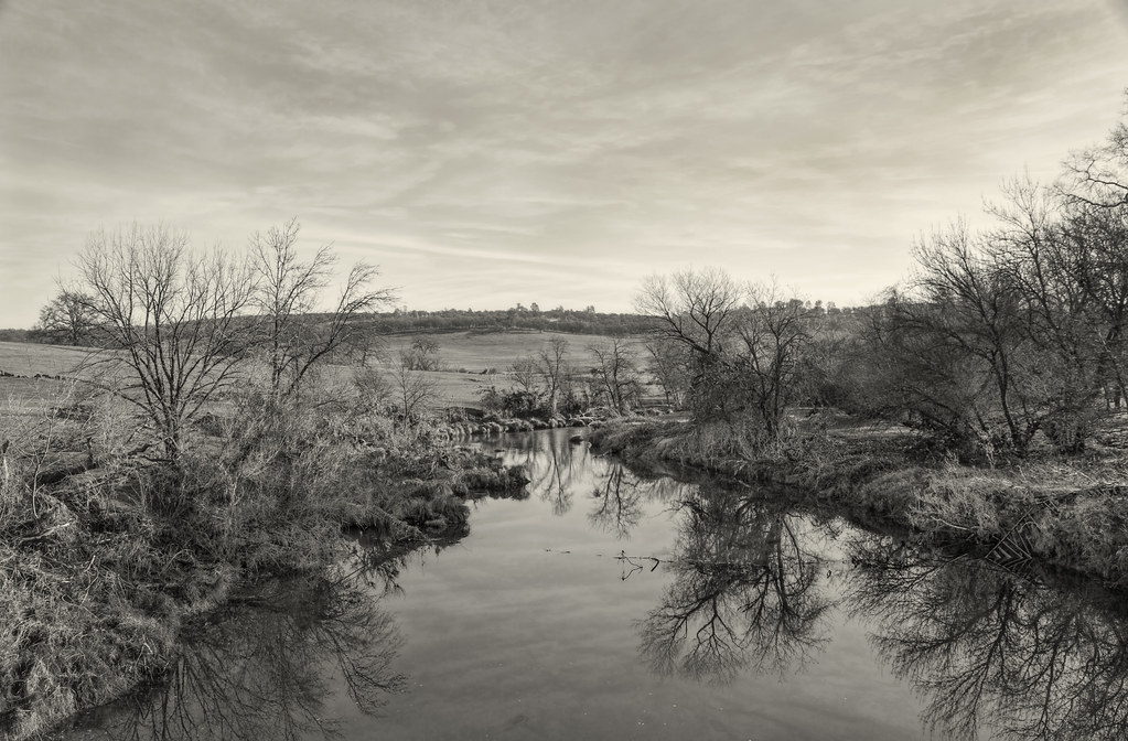
A Dog's View of the World
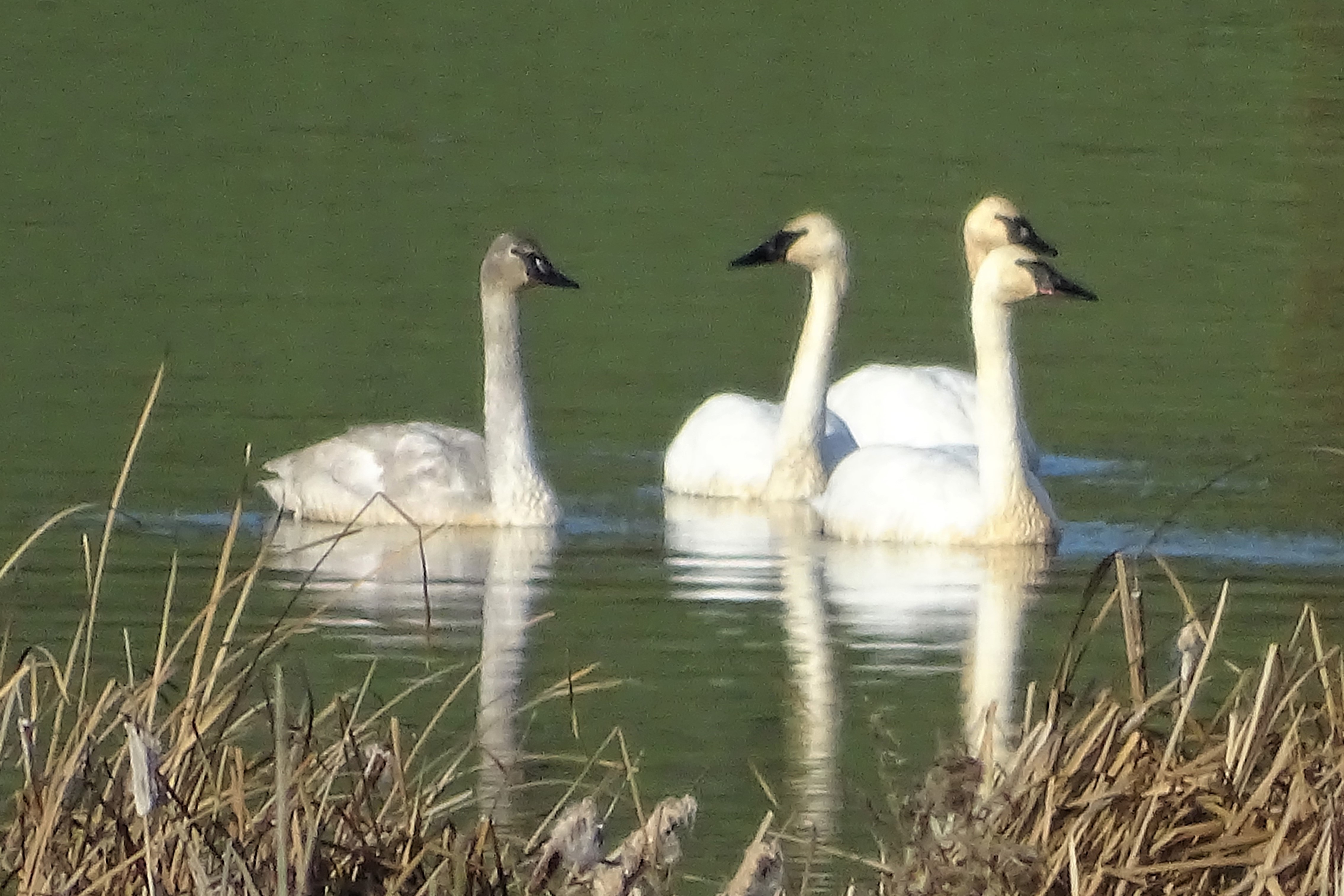
Trumpeter Swans--Cygnus buccinator
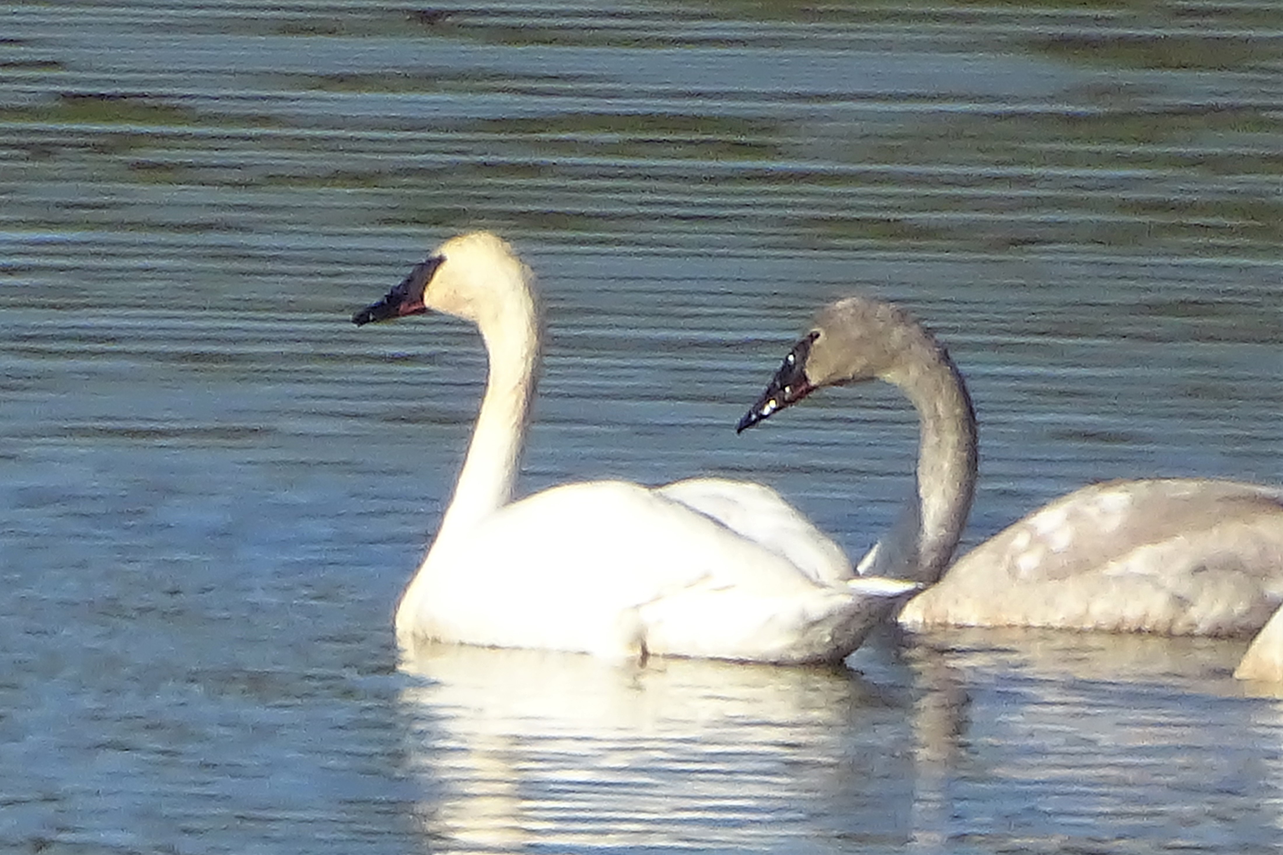
Trumpeter Swans--Cygnus buccinator
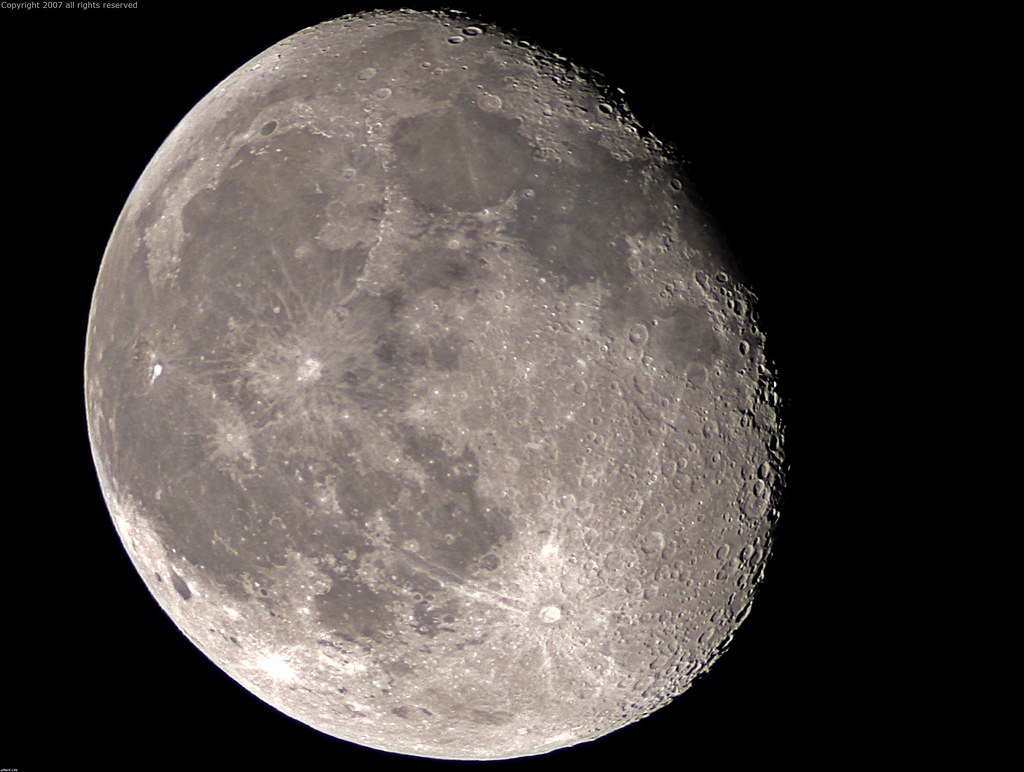
Full Sized Moon and Story 6479
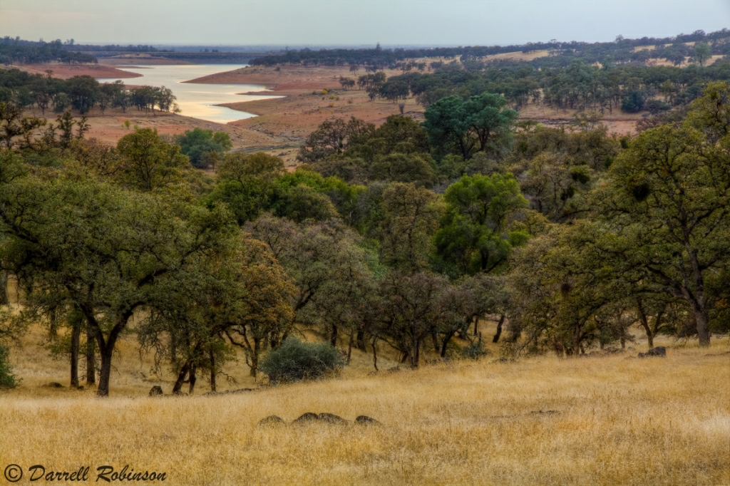
Oak Woodlands
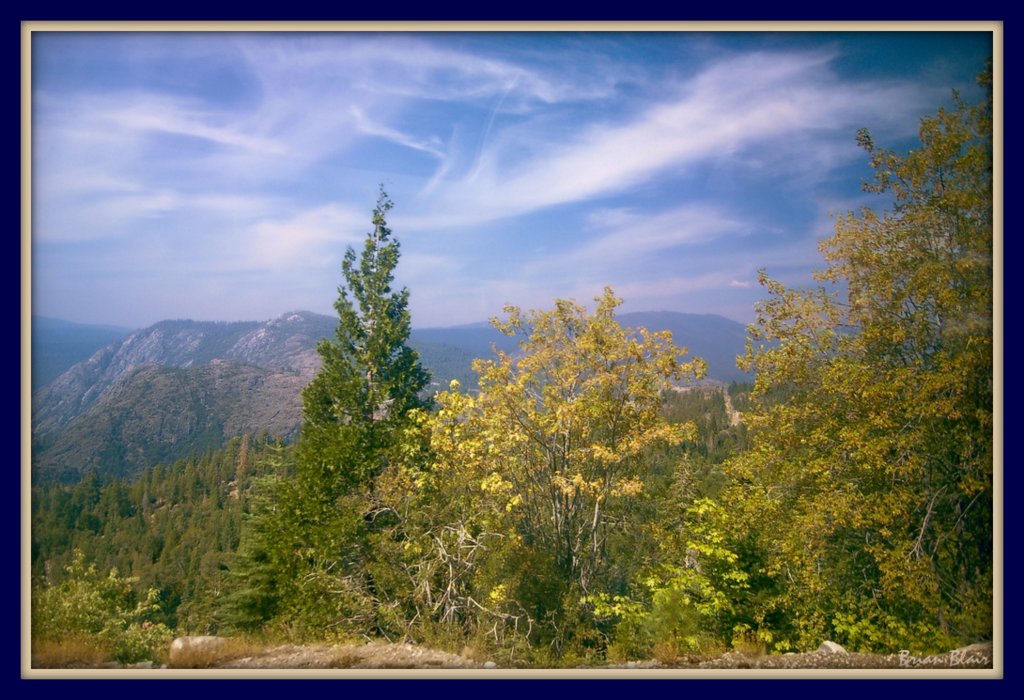
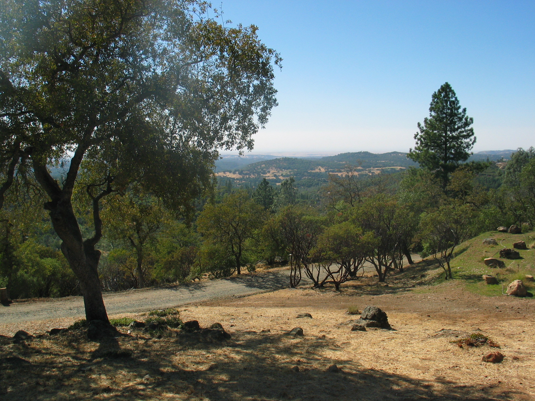
Mountain View
Well I've Been Out Walkin'
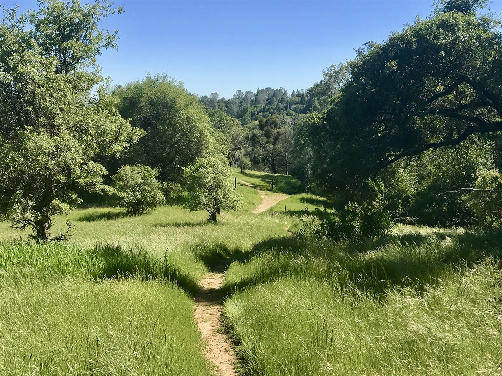
Canyon View Preserve

Loop view

Aerial Views - Clouds above Auburn

Fox Sparrow

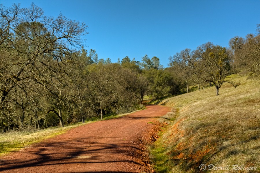
Surrounding Hills 001.JPG
view from the barn.

Western Views

Eastern Views
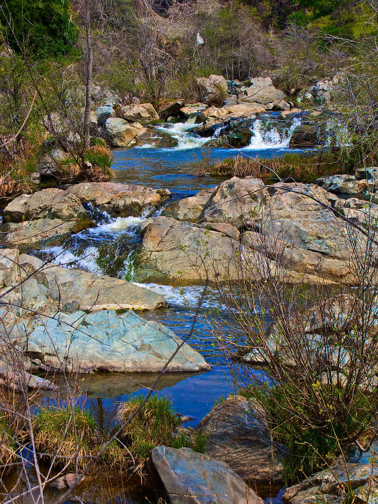
Dry Creek_36

Dry Creek_35
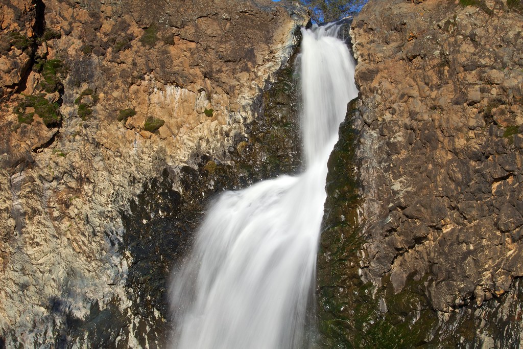
8a closer view of Upper Falls
Upper Shingle Falls_1

Blooming Bushes_2
Hidden Falls 001.JPG
Water (HSS)
Bryan on the Rocks
Dry Creek Cascades
Campbell Creek Cascade
Dry Creek_4

Hope Blossoms
Hidden Falls Regional Park | PB138330-2.jpg
Fairy Falls_4
Another Show About Nothing
Down on the Farm

Winter Morning Along Dry Creek

Red-shouldered Hawk (immature)--Buteo lineatus

Lake Camp Far West Lake
The Bridge at Waldo Junction
Amber waves
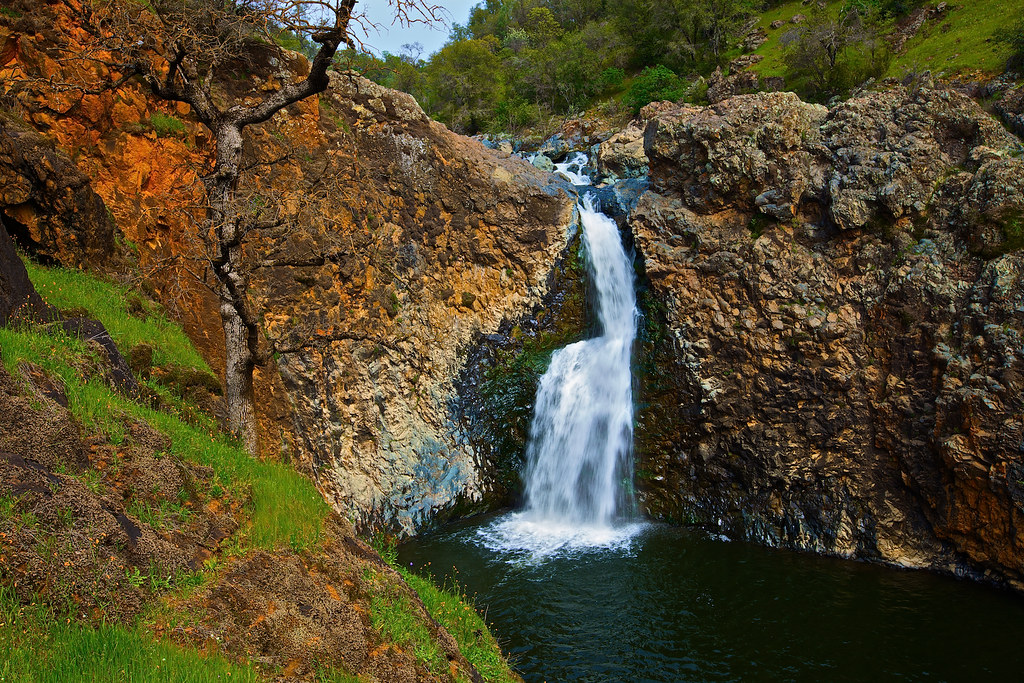
Upper Fairy Fall
Hidden Falls

Hidden Falls

Curtis.Tasker-2010.01.01-00.47.36-7441.jpg
Topographic Map of Countryside Ranch Rd, Grass Valley, CA, USA
Find elevation by address:

Places near Countryside Ranch Rd, Grass Valley, CA, USA:
22460 Meyer Ravine Rd
24410 Restive Way
12976 Wolf Rd
23907 Restive Way
15570 Macdonald Rd
18125 Rosemary Ln
11611 Wolf Rd
11605 Wolf Rd
14880 Wolf Rd
16243 Mackinaw Way
18852 Gopher Ln
22336 Jennifer Dr
10543 Streeter Rd
Cottage Hill Drive
23188 Cottage Hill Dr
Wolf Rd, Grass Valley, CA, USA
Higgins Corner
Grass Valley, CA, USA
21015 Clivus Dr
20938 Maben Rd
Recent Searches:
- Elevation map of Greenland, Greenland
- Elevation of Sullivan Hill, New York, New York, 10002, USA
- Elevation of Morehead Road, Withrow Downs, Charlotte, Mecklenburg County, North Carolina, 28262, USA
- Elevation of 2800, Morehead Road, Withrow Downs, Charlotte, Mecklenburg County, North Carolina, 28262, USA
- Elevation of Yangbi Yi Autonomous County, Yunnan, China
- Elevation of Pingpo, Yangbi Yi Autonomous County, Yunnan, China
- Elevation of Mount Malong, Pingpo, Yangbi Yi Autonomous County, Yunnan, China
- Elevation map of Yongping County, Yunnan, China
- Elevation of North 8th Street, Palatka, Putnam County, Florida, 32177, USA
- Elevation of 107, Big Apple Road, East Palatka, Putnam County, Florida, 32131, USA
- Elevation of Jiezi, Chongzhou City, Sichuan, China
- Elevation of Chongzhou City, Sichuan, China
- Elevation of Huaiyuan, Chongzhou City, Sichuan, China
- Elevation of Qingxia, Chengdu, Sichuan, China
- Elevation of Corso Fratelli Cairoli, 35, Macerata MC, Italy
- Elevation of Tallevast Rd, Sarasota, FL, USA
- Elevation of 4th St E, Sonoma, CA, USA
- Elevation of Black Hollow Rd, Pennsdale, PA, USA
- Elevation of Oakland Ave, Williamsport, PA, USA
- Elevation of Pedrógão Grande, Portugal