Elevation of Mesa Grande Rd, Santa Ysabel, CA, USA
Location: United States > California > San Diego County > Santa Ysabel >
Longitude: -116.75562
Latitude: 33.1718496
Elevation: 1020m / 3346feet
Barometric Pressure: 90KPa
Elevation Map:
Satellite Map:
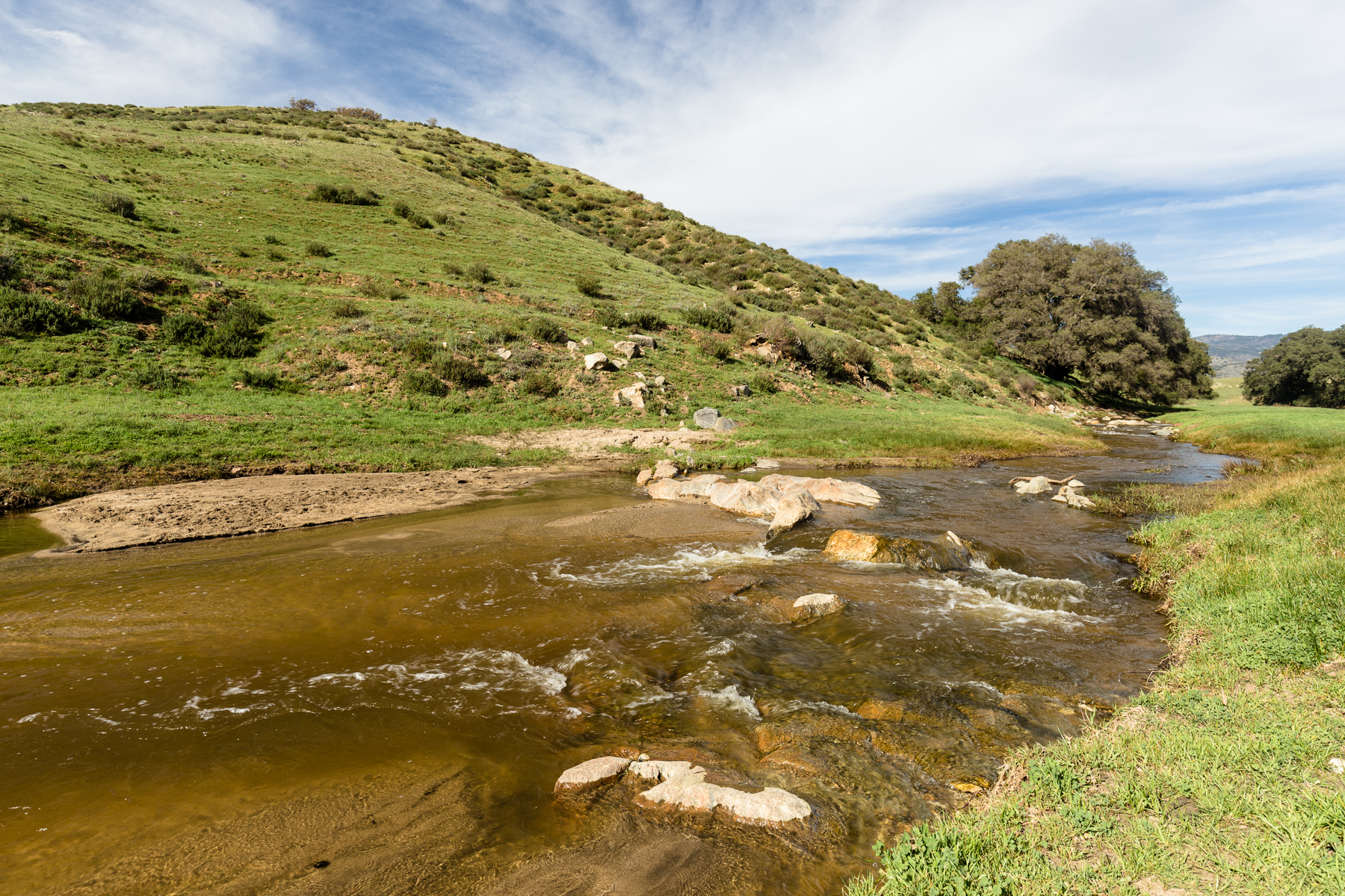
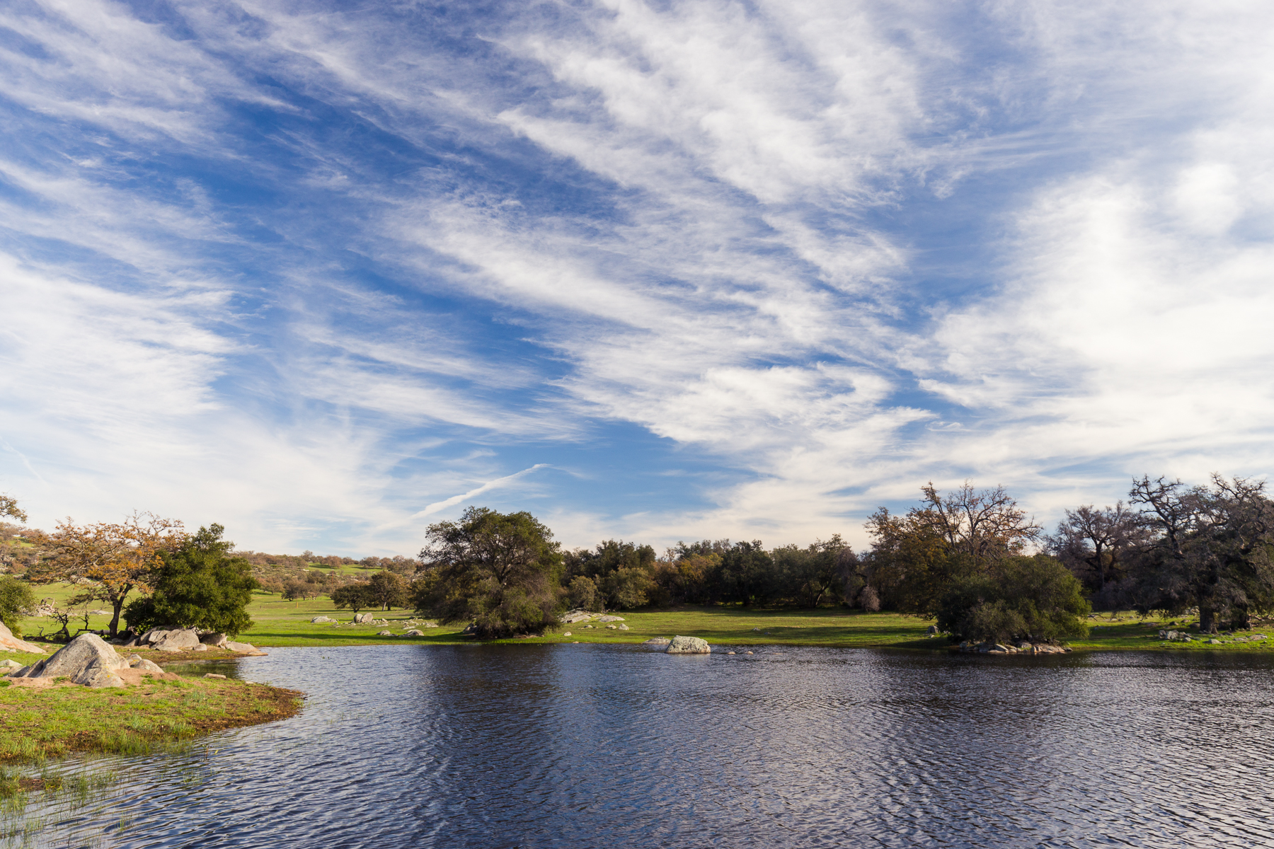
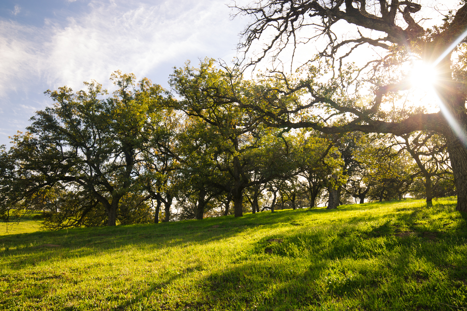
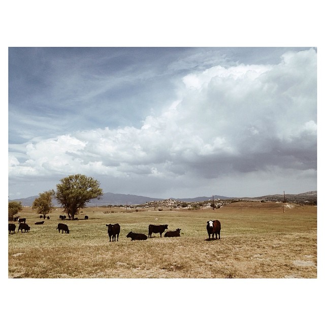
Related Photos:

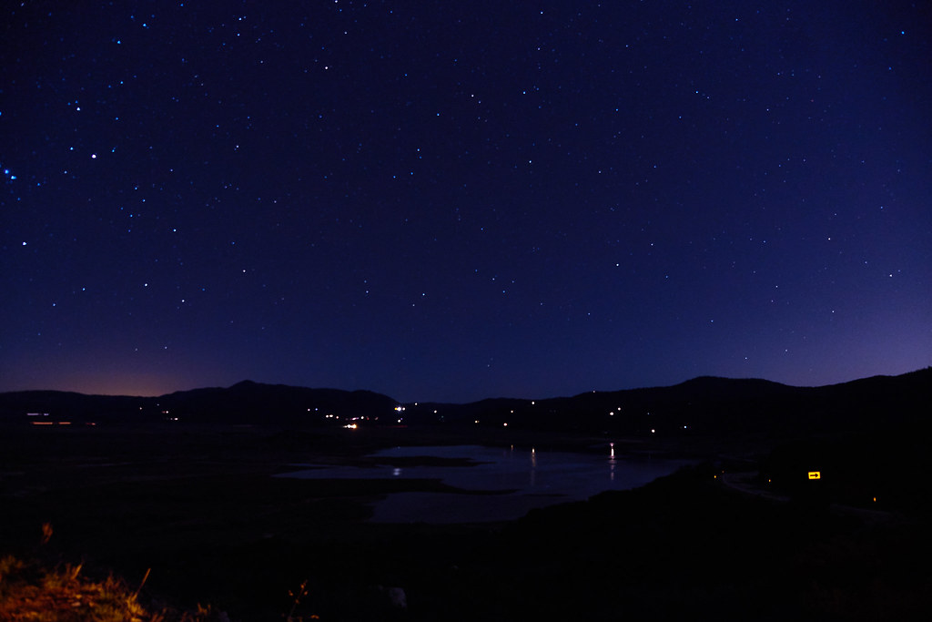
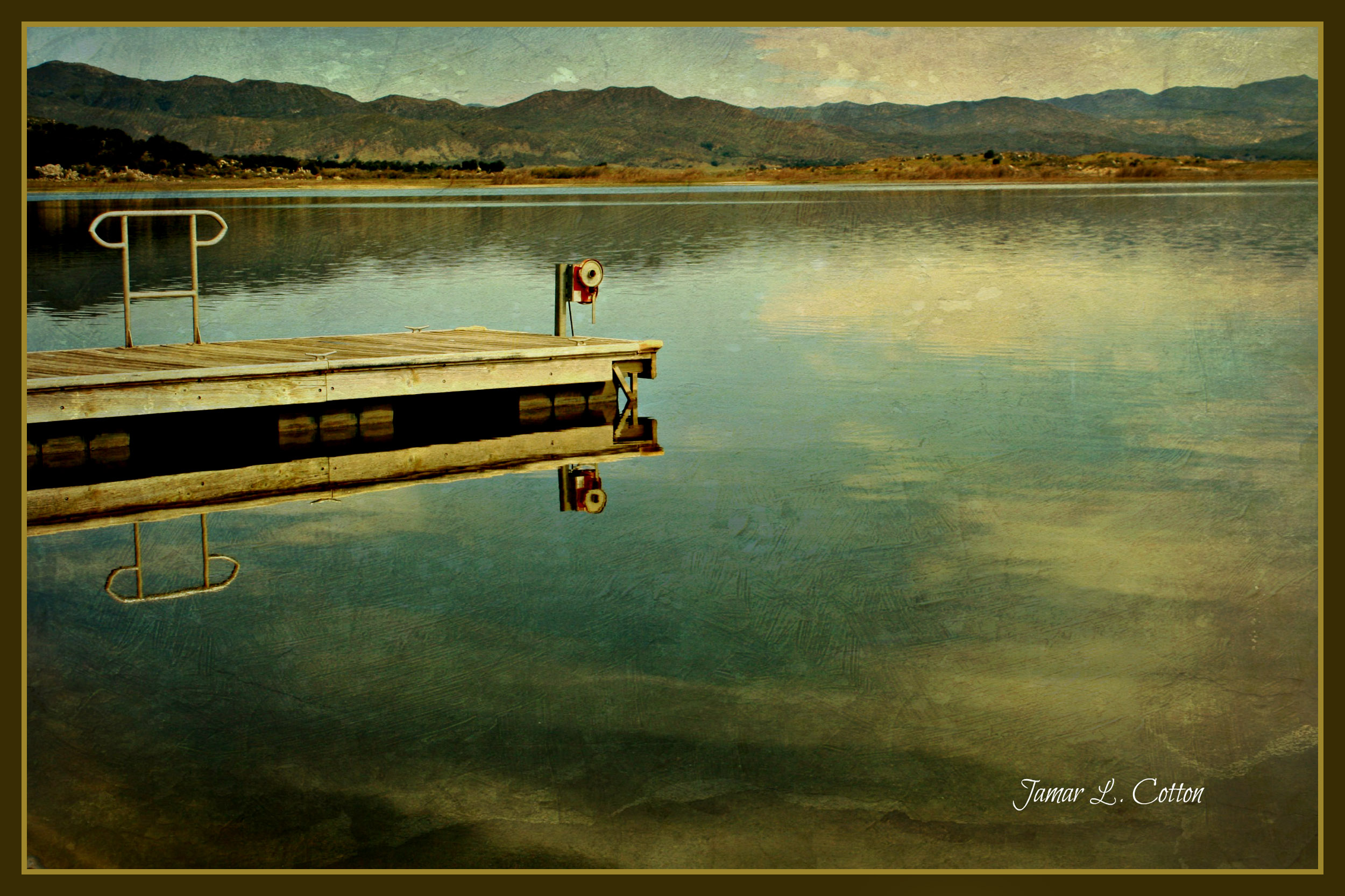
The God Light Storm
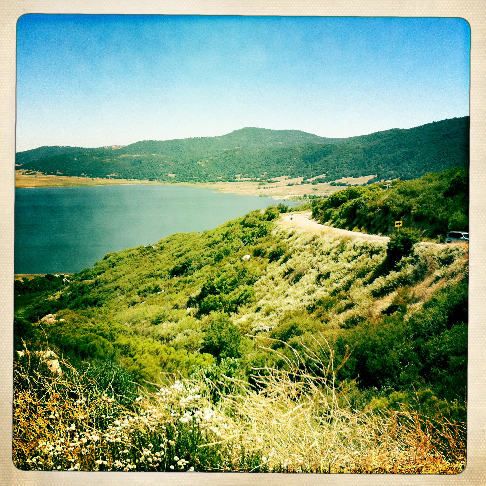
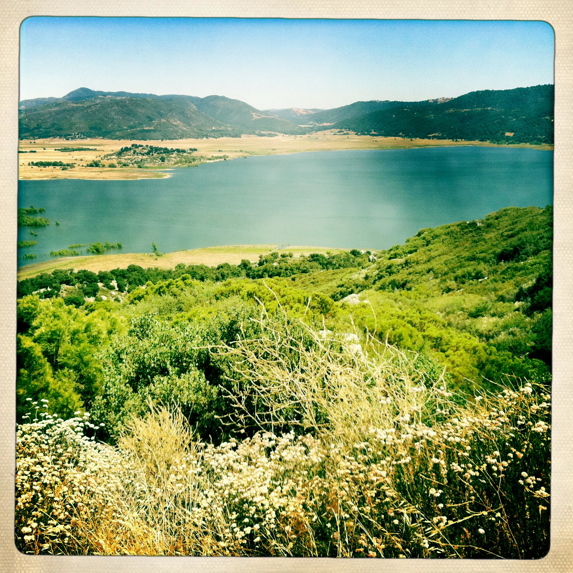
Lake Henshaw view point
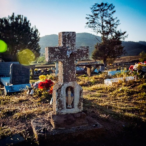
"The Virgin Mary Action Figure!" (02/2014) [Comes with a free cross shaped carrying case!] One of the more unique head stones I've seen. View the B&W edit of this photo on myother account: @JimHubel_bnw. Nikon D70/VSCO.

hazy view from Palomar Mountain
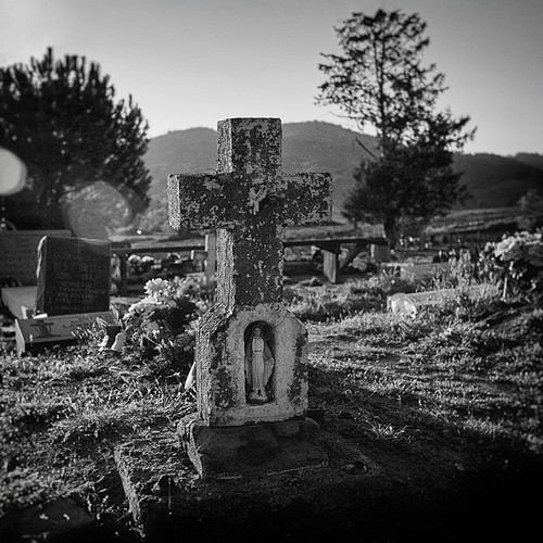
"The Virgin Mary Action Figure! (B&W Edition)" (02/2014) [Comes with a free cross shaped carrying case!] One of the more unique head stones I've seen. View the color edit of this photo on my other account: @JimHubel. Nikon D70/VSCO/Photoshop.
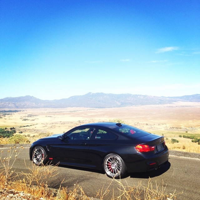
Enjoying the view | @tagmotorsports
View point on CA highway 79, between Santa Ysabel and Julian
Santa Ysabel View 1
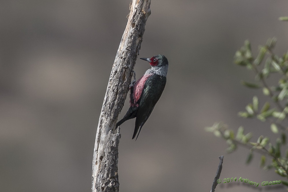
Lewis' Woodpecker (13240) eBird rarity
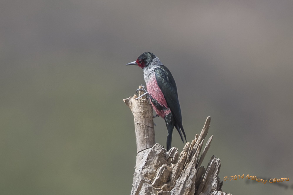
Lewis' Woodpecker (13244) eBird rarity
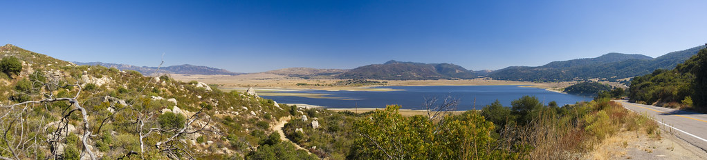
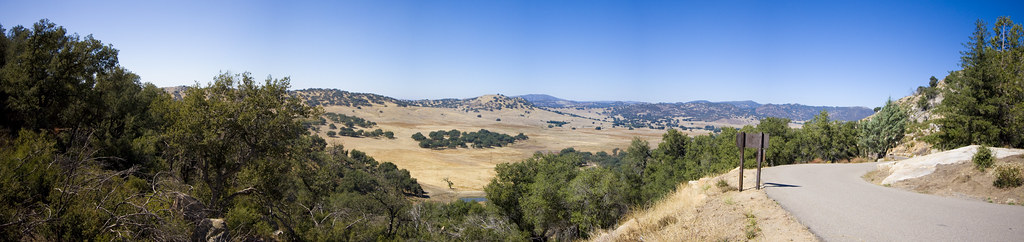
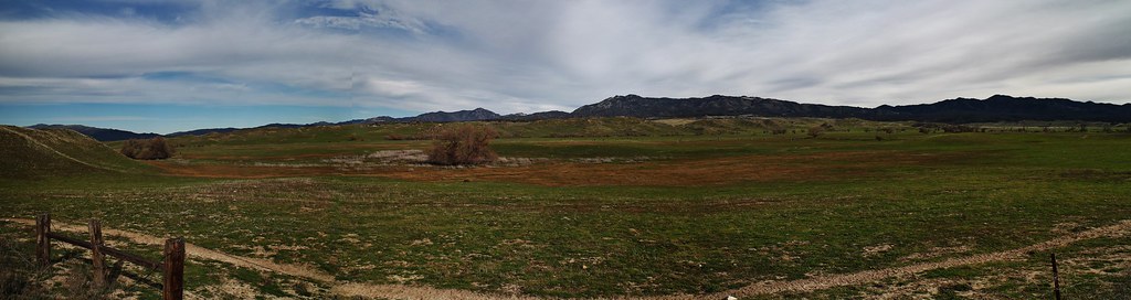
Lake Henshaw view from East Grade Road Panorama1

Lake Henshaw view from East Grade Road Panorama 2
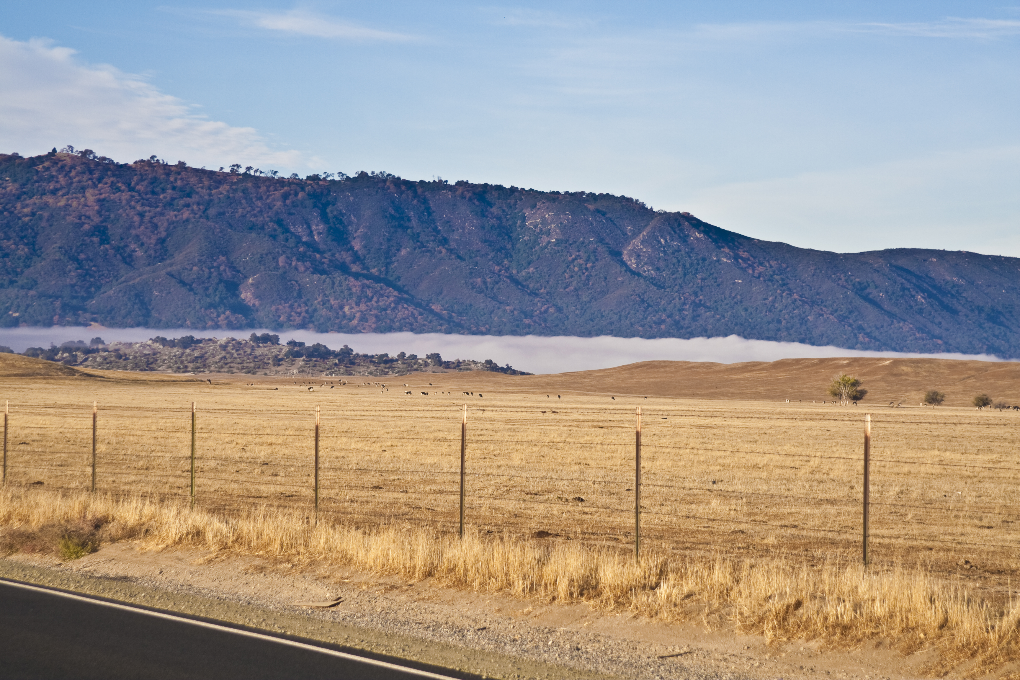
Lake Henshaw Valley Fog
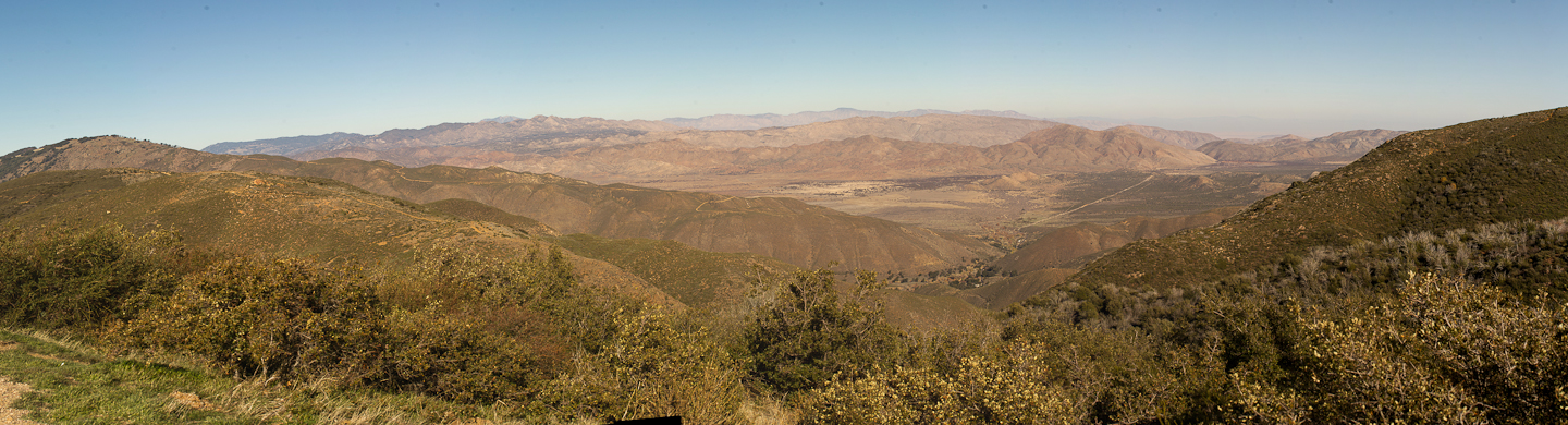
Hot Springs Mountain from 79

san diego river valley view (with stump)
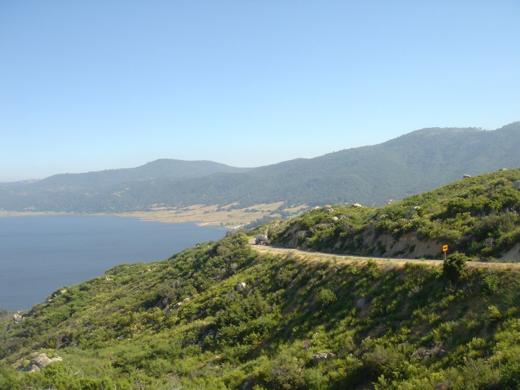
Palomar Mountain - Lake to the East
Mirror image
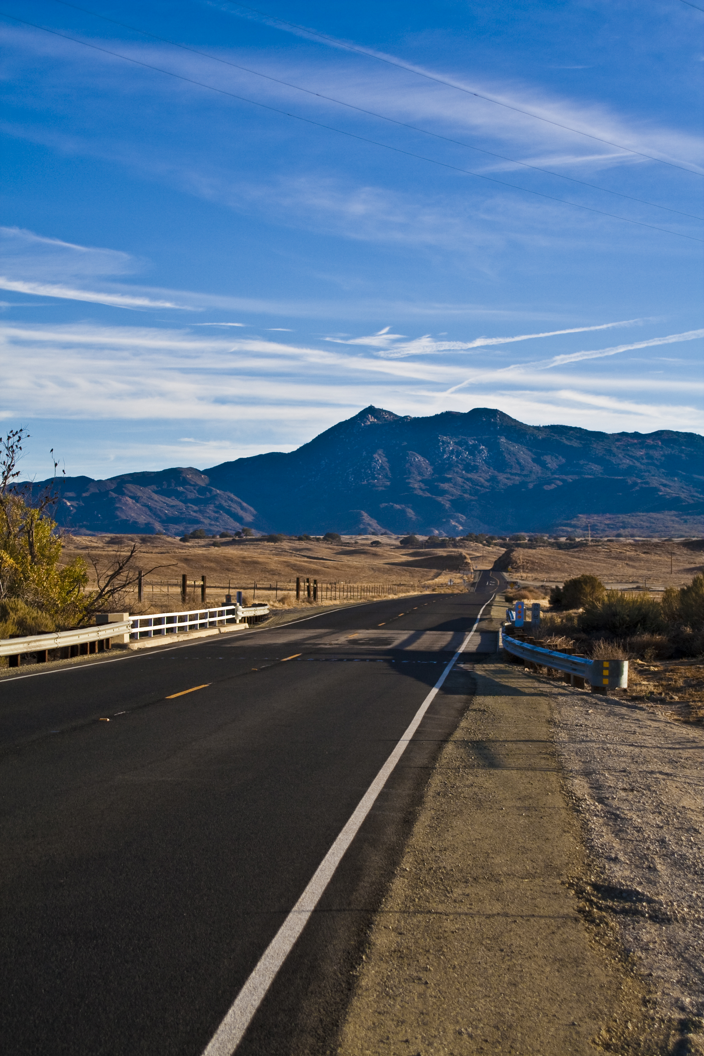
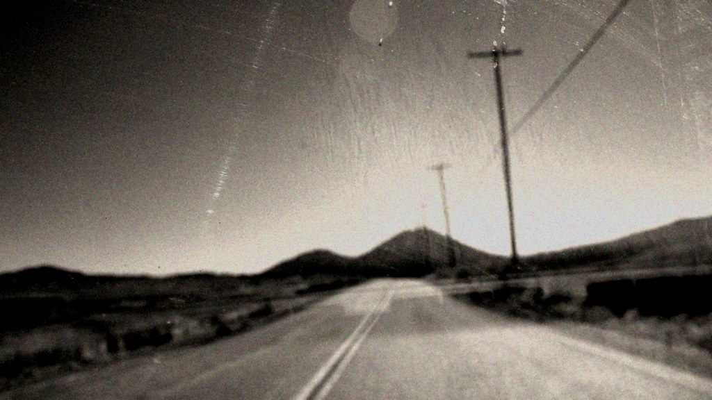
view down State Route 79
pulled over to take in the view near Santa Ysabel. w/ @erica_hampton *

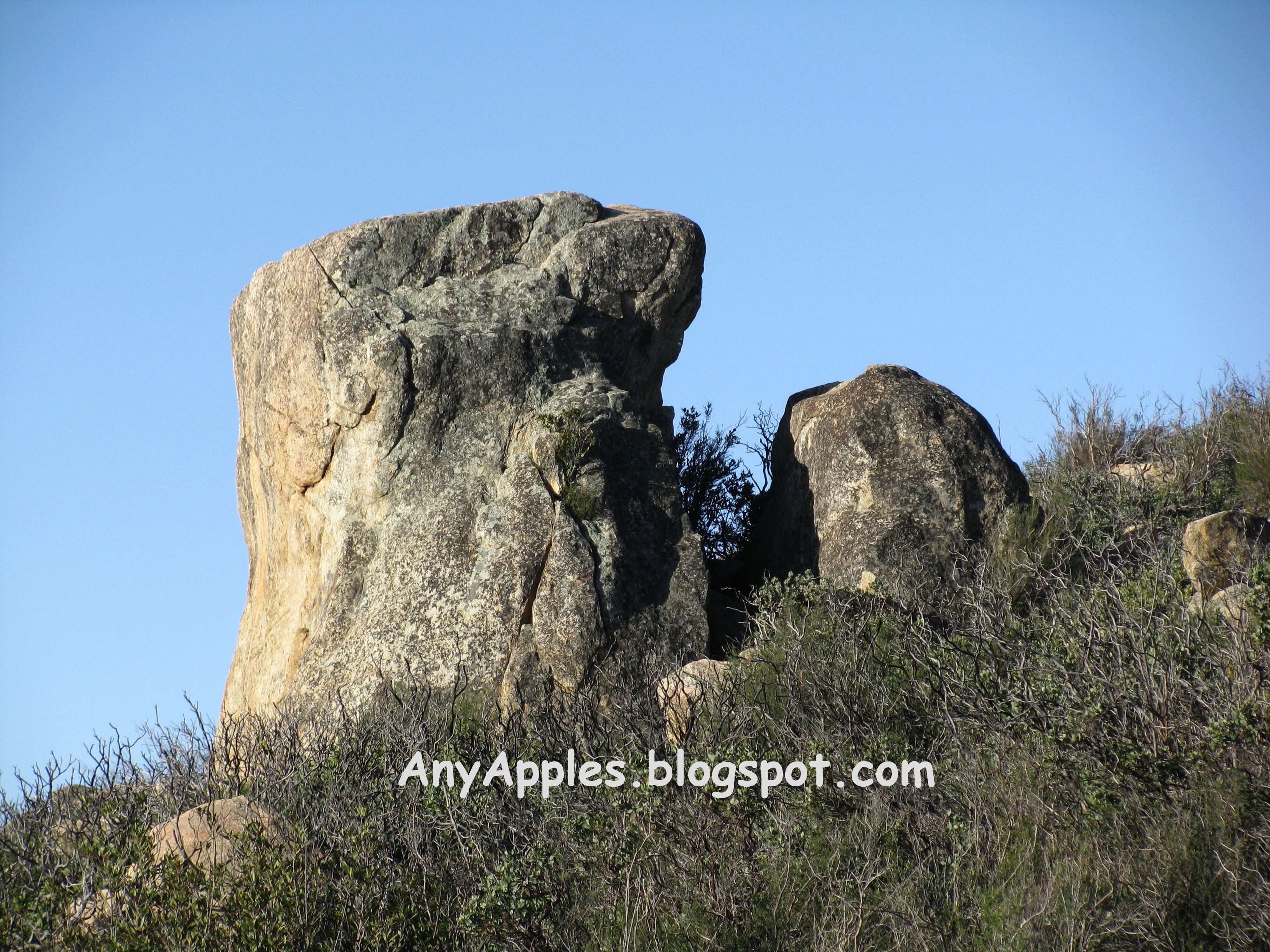
black mountain view
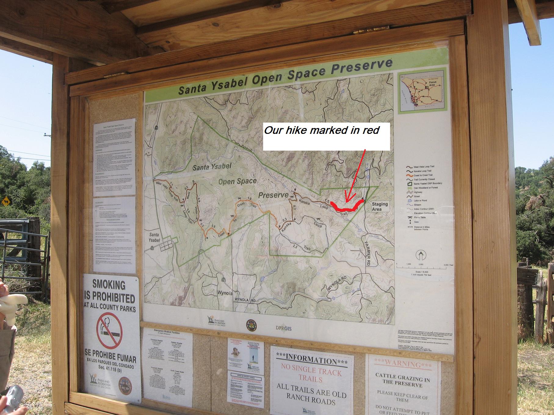
Our hike marked in red - maybe half mile - 5-20-09 -- for a better view LEFT CLICK ON THE IMAGE
IMG_6563.jpg
IMG_6607.jpg
IMG_6585.jpg
#RoadTripUSA #discoveramerica #California

Cows in the pasture

Day 74/365: Perfect Day To Be In Love
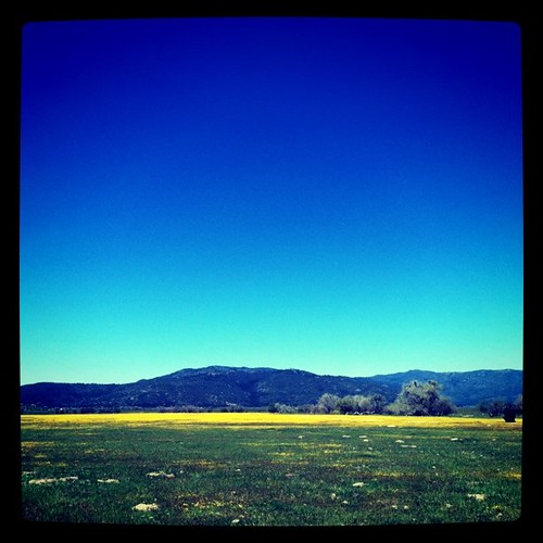
Yellow field.
To A Hotel Someplace
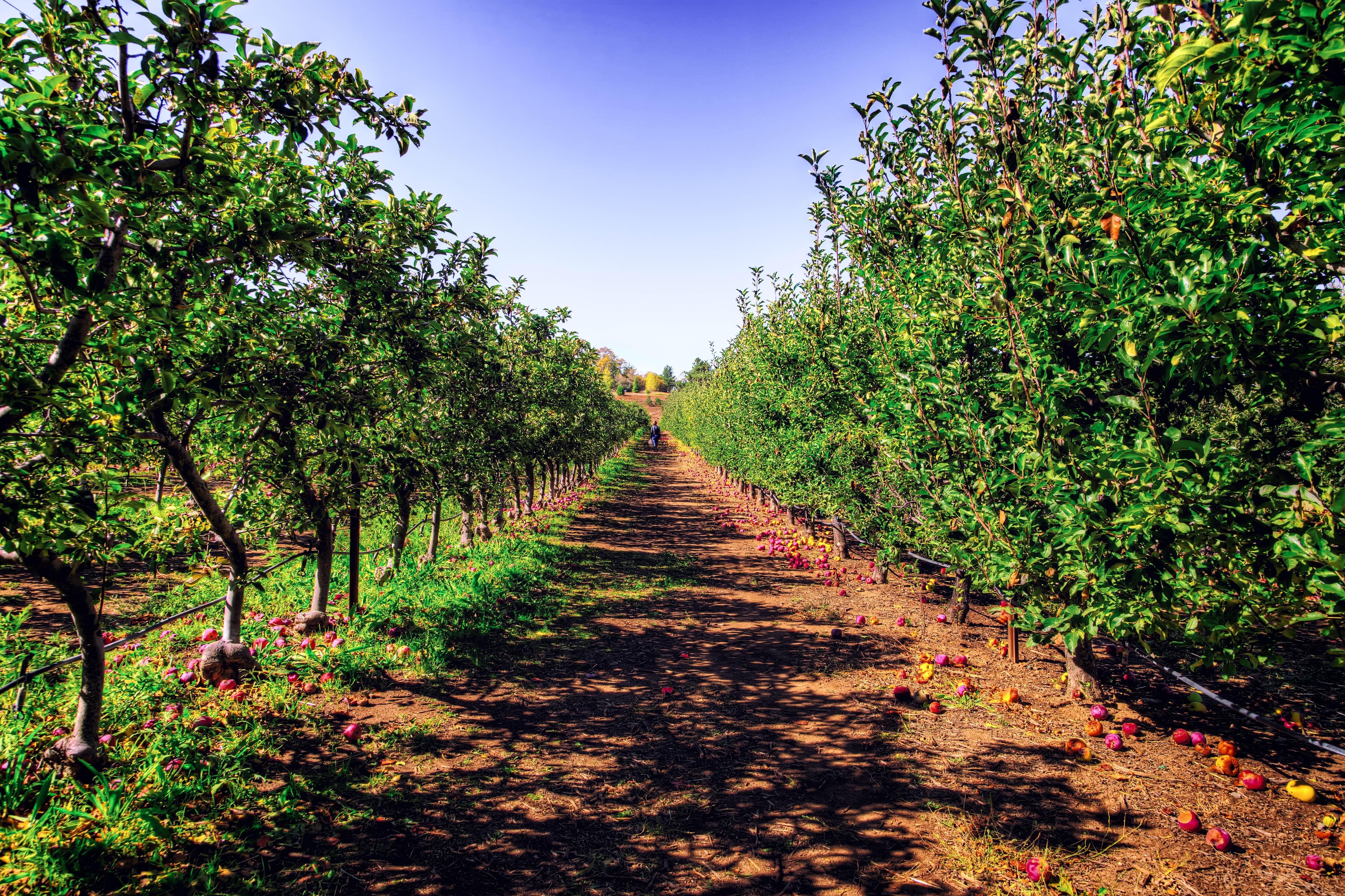
An Endless Field of Apples
SYOSP Landscape 1
Lake Henshaw
IMG_0169.JPG
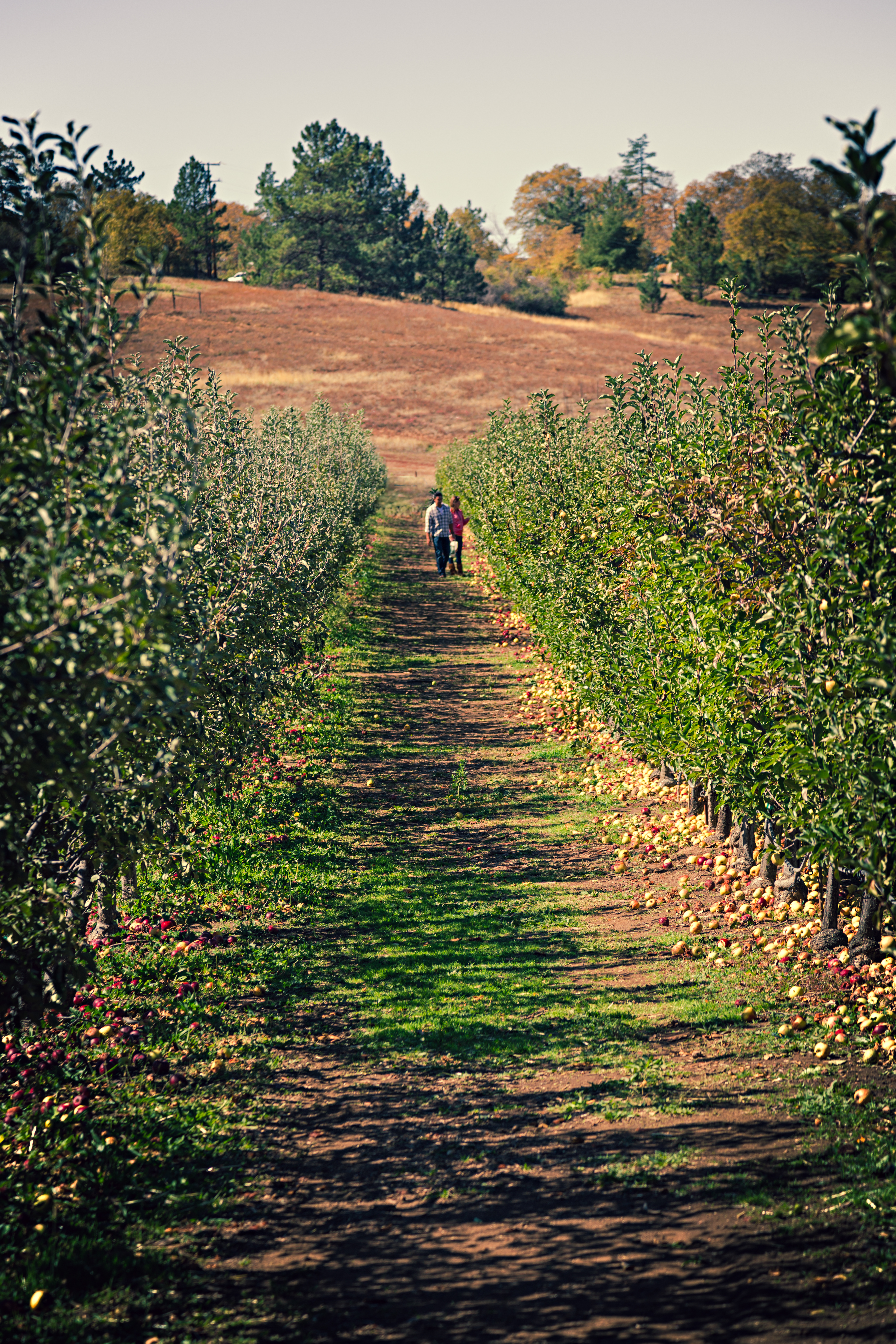
A Long Walk of Apple Picking
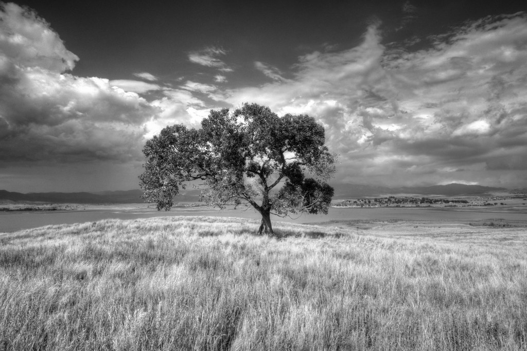
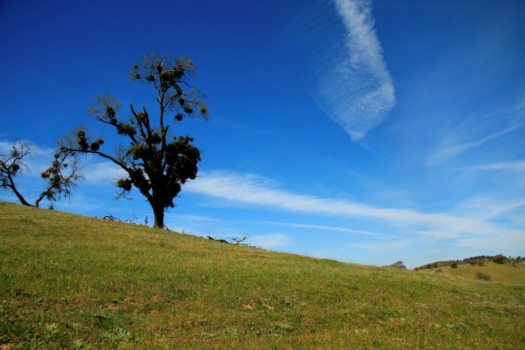
Lone Tree at Lake Henshaw
Warner-Carrillo Ranch January 2015 (8)

Santa Ysabel
IMG_0170.JPG
Cleveland National Forest 014
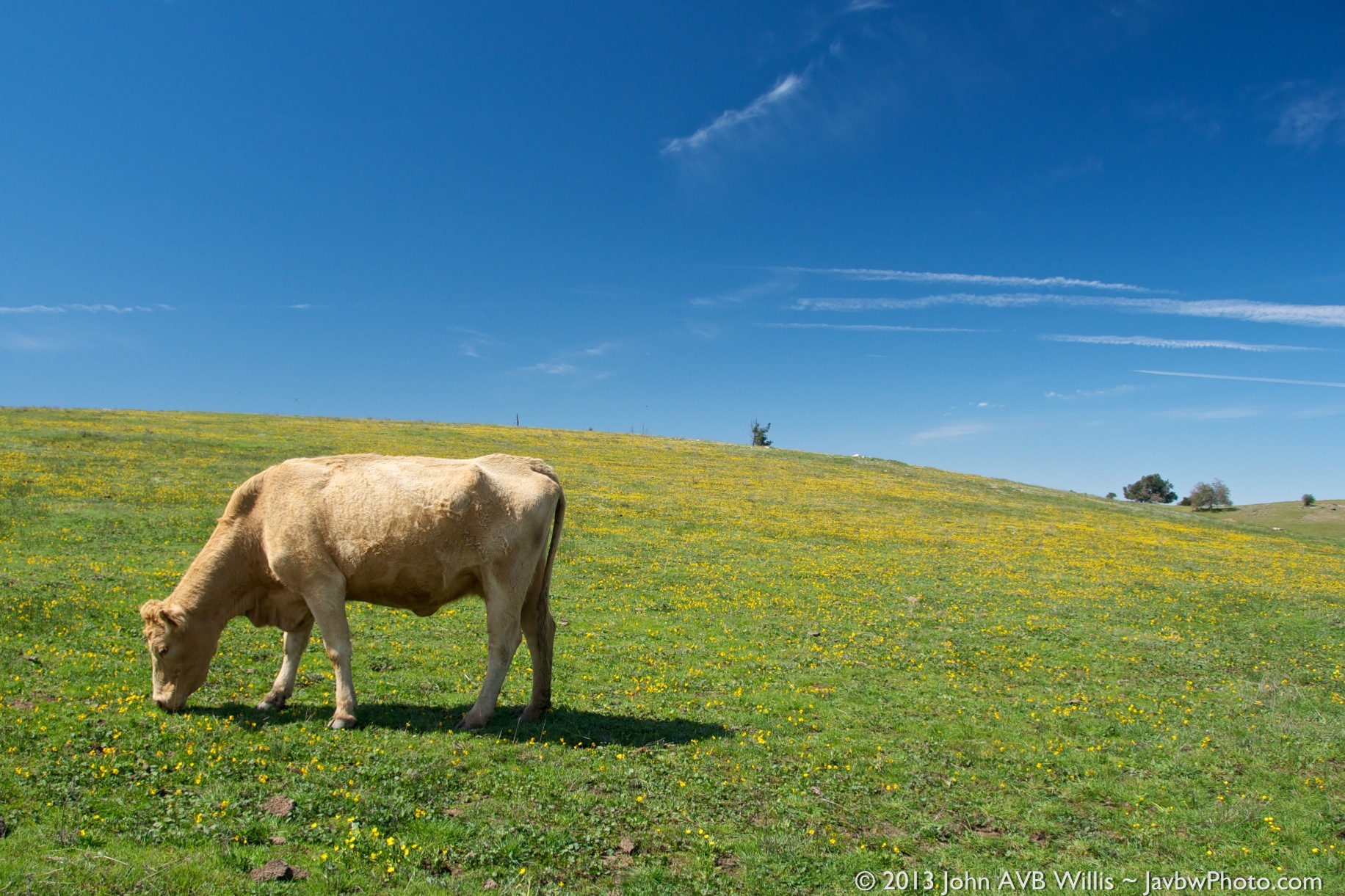
Blonde Cow
Topographic Map of Mesa Grande Rd, Santa Ysabel, CA, USA
Find elevation by address:

Places near Mesa Grande Rd, Santa Ysabel, CA, USA:
25241 Mesa Grande Rd
25241 Mesa Grande Rd
25986 Mesa Grande Rd
9474 Black Mountain Truck Trail
24540 Black Canyon Rd
24540 Black Canyon Rd
Angel Mountain Road
Sutherland Dam Road
25818 Ca-78
26502 Ca-78
26502 Ca-78
Sunshine Valley Road
Creek Hollow Ranch Inc
Ramona, CA, USA
25265 Old Julian Hwy
20329 Rancho Villa Rd
20391 Rancho Villa Rd
California 78
California 78
1320 Cedar St
Recent Searches:
- Elevation of Corso Fratelli Cairoli, 35, Macerata MC, Italy
- Elevation of Tallevast Rd, Sarasota, FL, USA
- Elevation of 4th St E, Sonoma, CA, USA
- Elevation of Black Hollow Rd, Pennsdale, PA, USA
- Elevation of Oakland Ave, Williamsport, PA, USA
- Elevation of Pedrógão Grande, Portugal
- Elevation of Klee Dr, Martinsburg, WV, USA
- Elevation of Via Roma, Pieranica CR, Italy
- Elevation of Tavkvetili Mountain, Georgia
- Elevation of Hartfords Bluff Cir, Mt Pleasant, SC, USA