Elevation of Black Mountain Truck Trail, Santa Ysabel, CA, USA
Location: United States > California > San Diego County > Santa Ysabel >
Longitude: -116.79900
Latitude: 33.181076
Elevation: 1056m / 3465feet
Barometric Pressure: 89KPa
Elevation Map:
Satellite Map:
Related Photos:
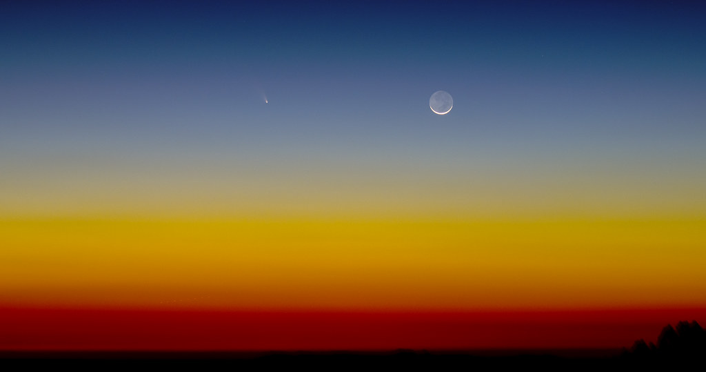
Comet PanSTARRS Sunset
"Live in the Light"
Standing Rock
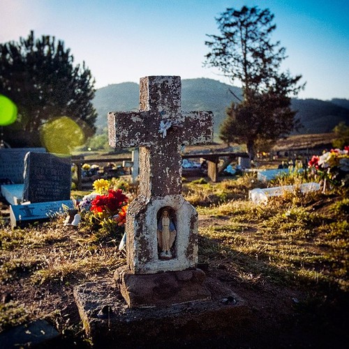
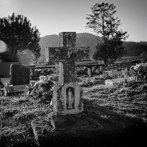
"The Virgin Mary Action Figure!" (02/2014) [Comes with a free cross shaped carrying case!] One of the more unique head stones I've seen. View the B&W edit of this photo on myother account: @JimHubel_bnw. Nikon D70/VSCO.
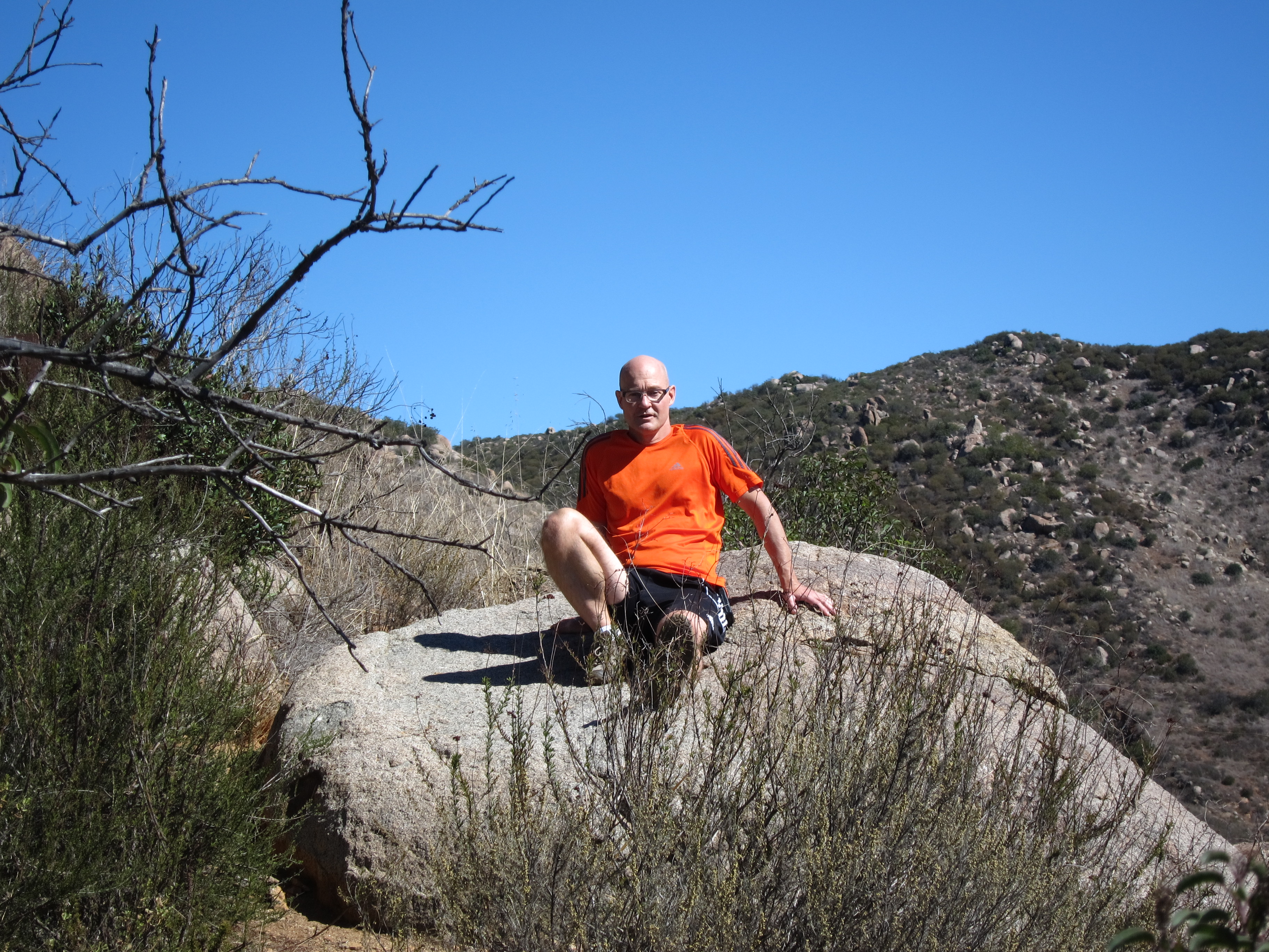
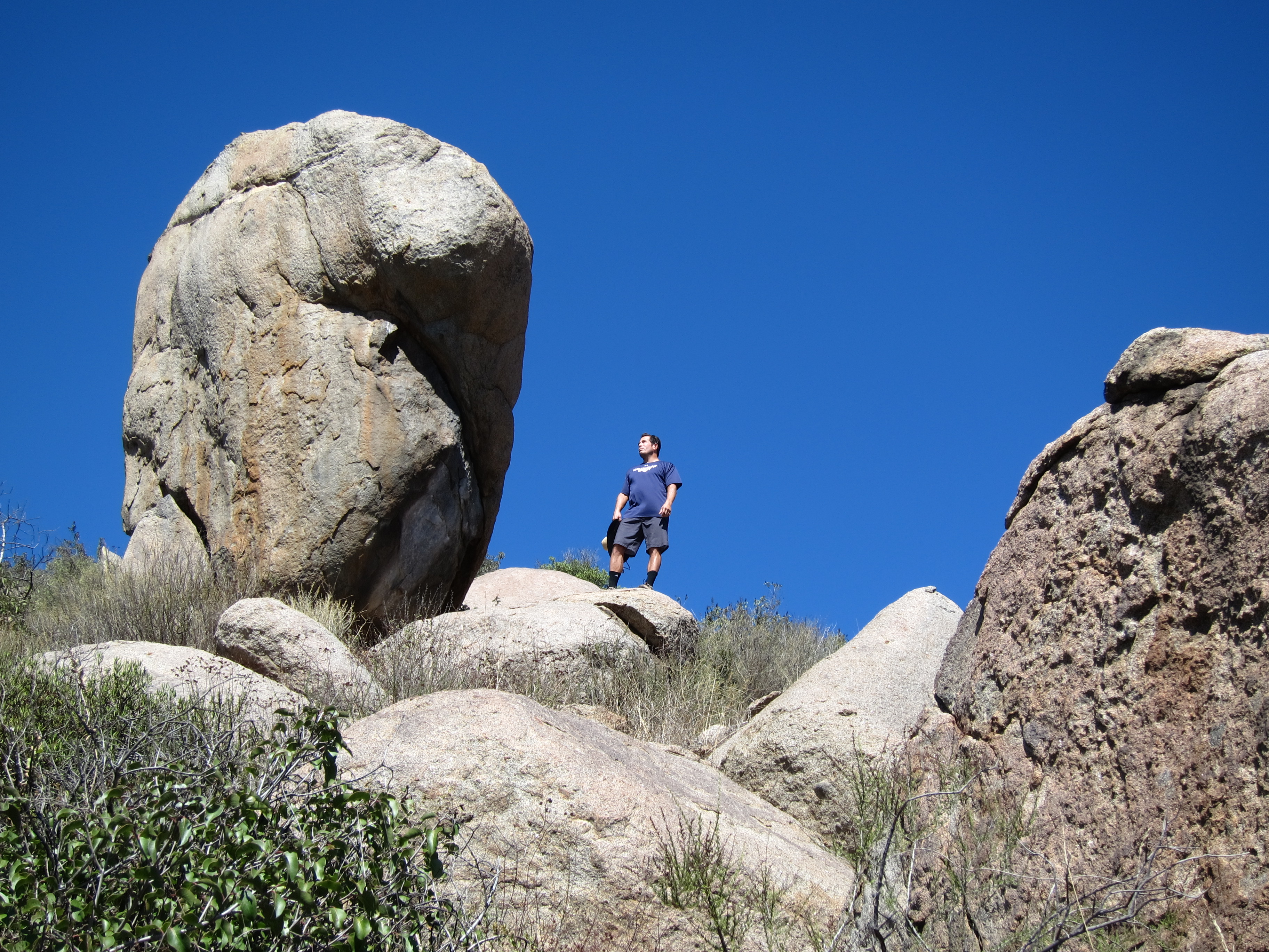
Sitting on a Boulder
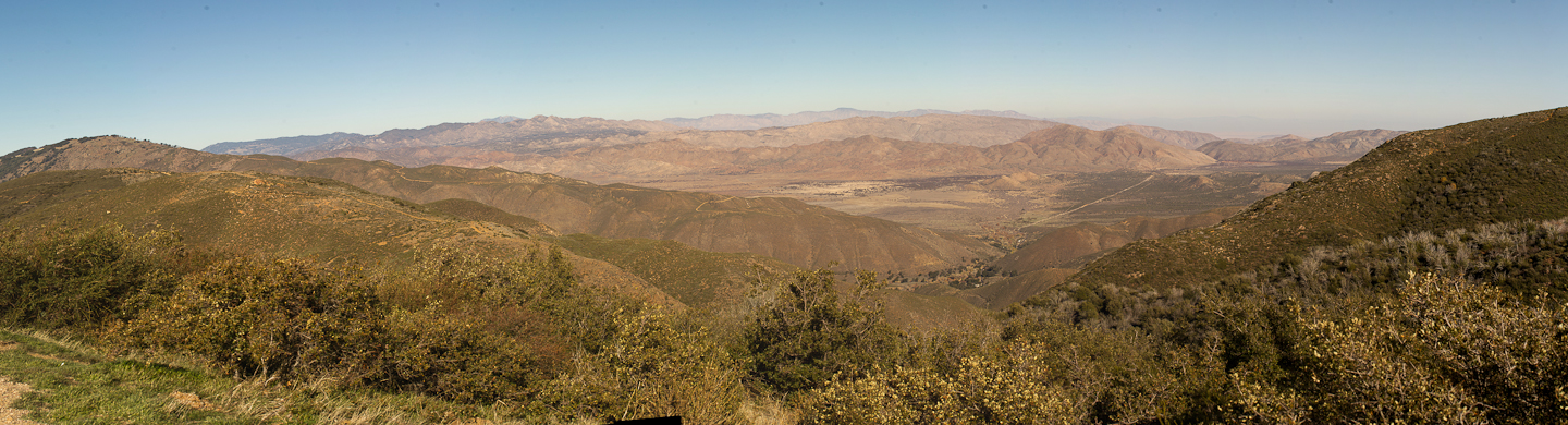
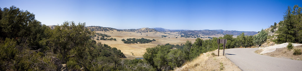
View point on CA highway 79, between Santa Ysabel and Julian
"The Virgin Mary Action Figure! (B&W Edition)" (02/2014) [Comes with a free cross shaped carrying case!] One of the more unique head stones I've seen. View the color edit of this photo on my other account: @JimHubel. Nikon D70/VSCO/Photoshop.
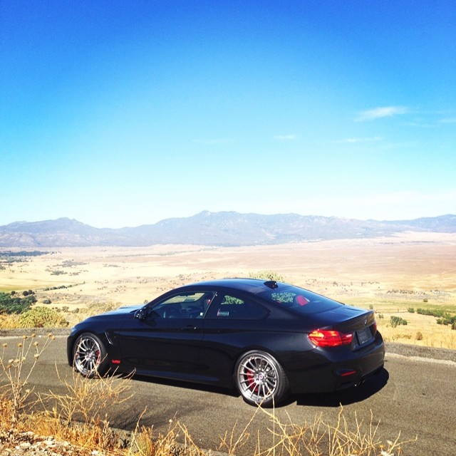
Enjoying the view | @tagmotorsports

About to Get Hammered
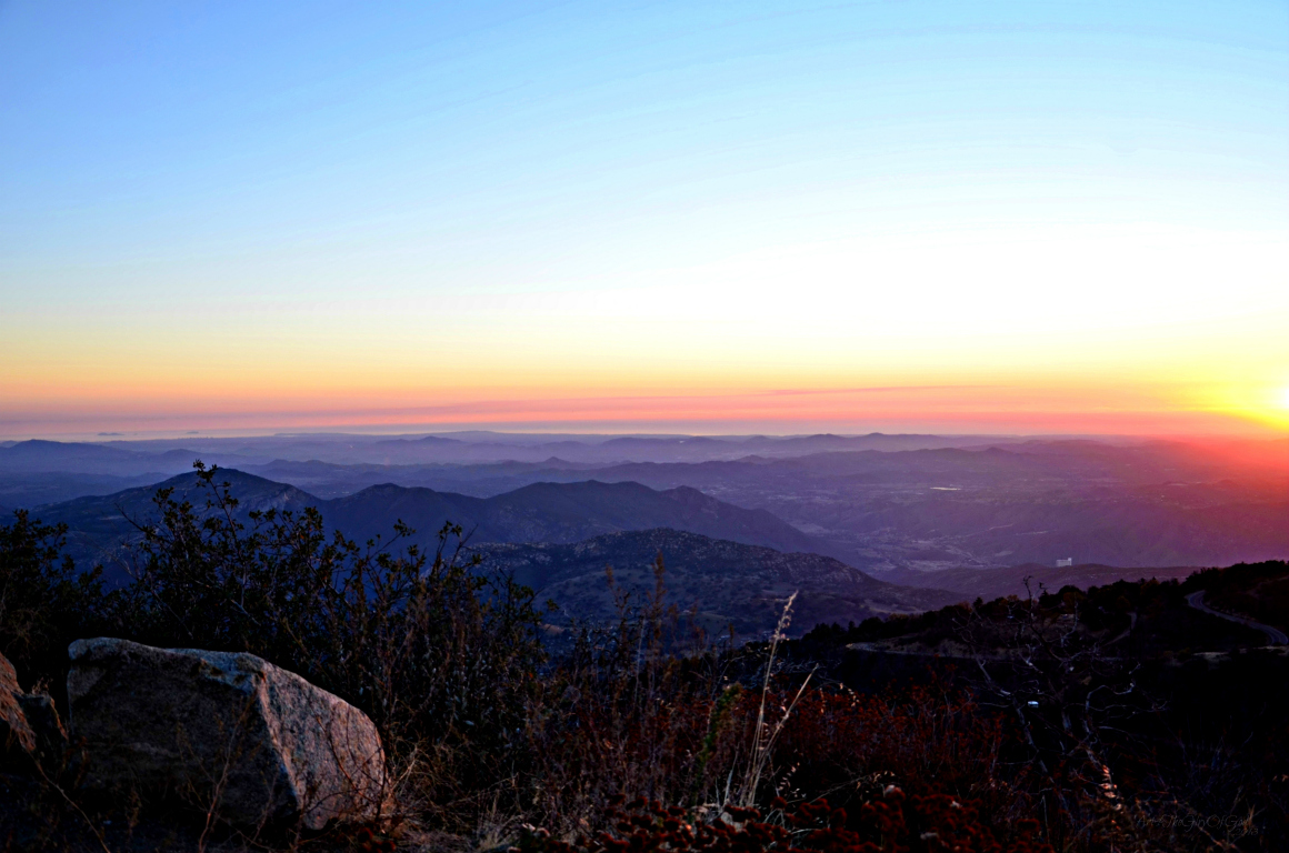
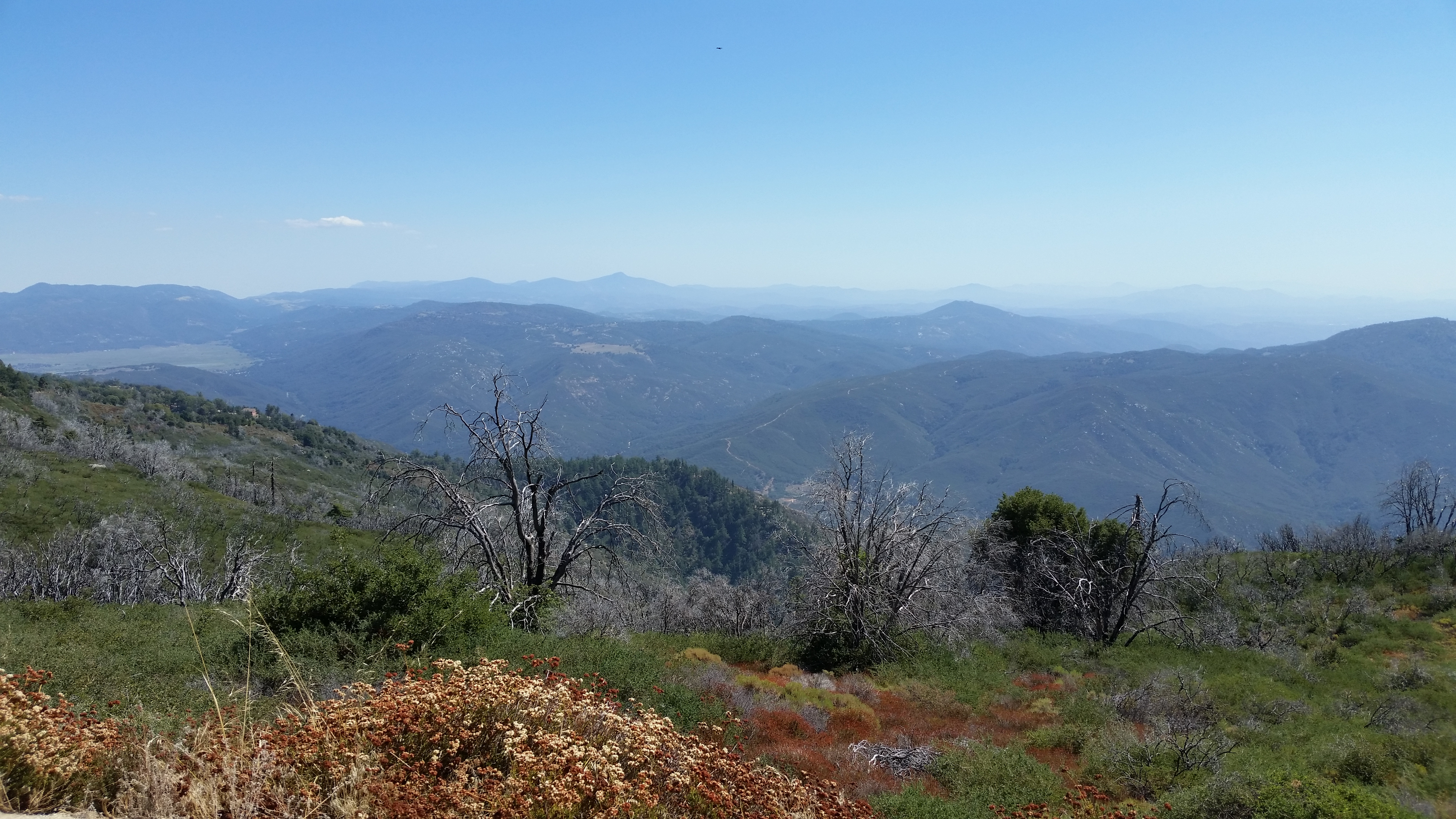
Santa Ysabel View 1

Lewis' Woodpecker (13244) eBird rarity

Lewis' Woodpecker (13240) eBird rarity

Chariot Fire from Big Black Mtn South view 07-Jul-2013 1133 AM
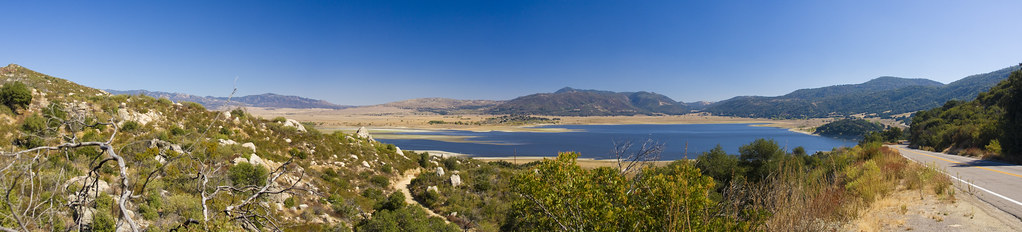
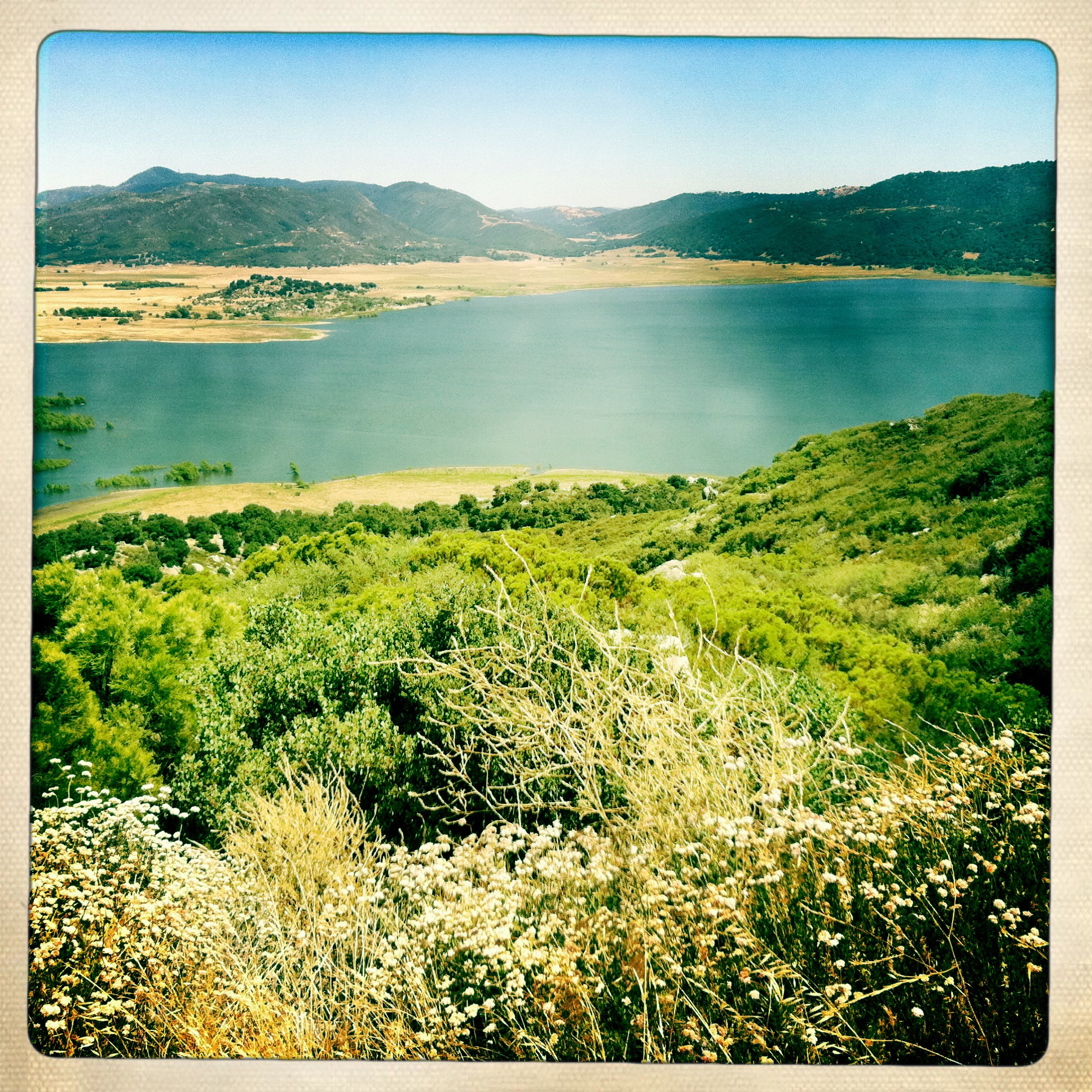
Lake Henshaw view from East Grade Road Panorama1

Chariot Fire from Mesa Grande East view 07-Jul-2013 1134 AM

Mountain View Community Church (Thomas Built Buses)
view down State Route 79
pulled over to take in the view near Santa Ysabel. w/ @erica_hampton *

black mountain view

Jullian - Dons Market view
View from Palomar Mountain.

The God Light Storm
#RoadTripUSA #discoveramerica #California
Yellow field.

Day 74/365: Perfect Day To Be In Love
To A Hotel Someplace
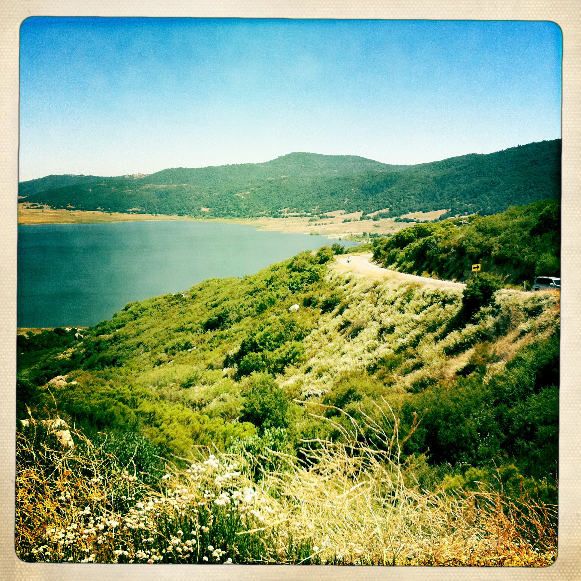
Lake Henshaw
Lone Tree at Lake Henshaw
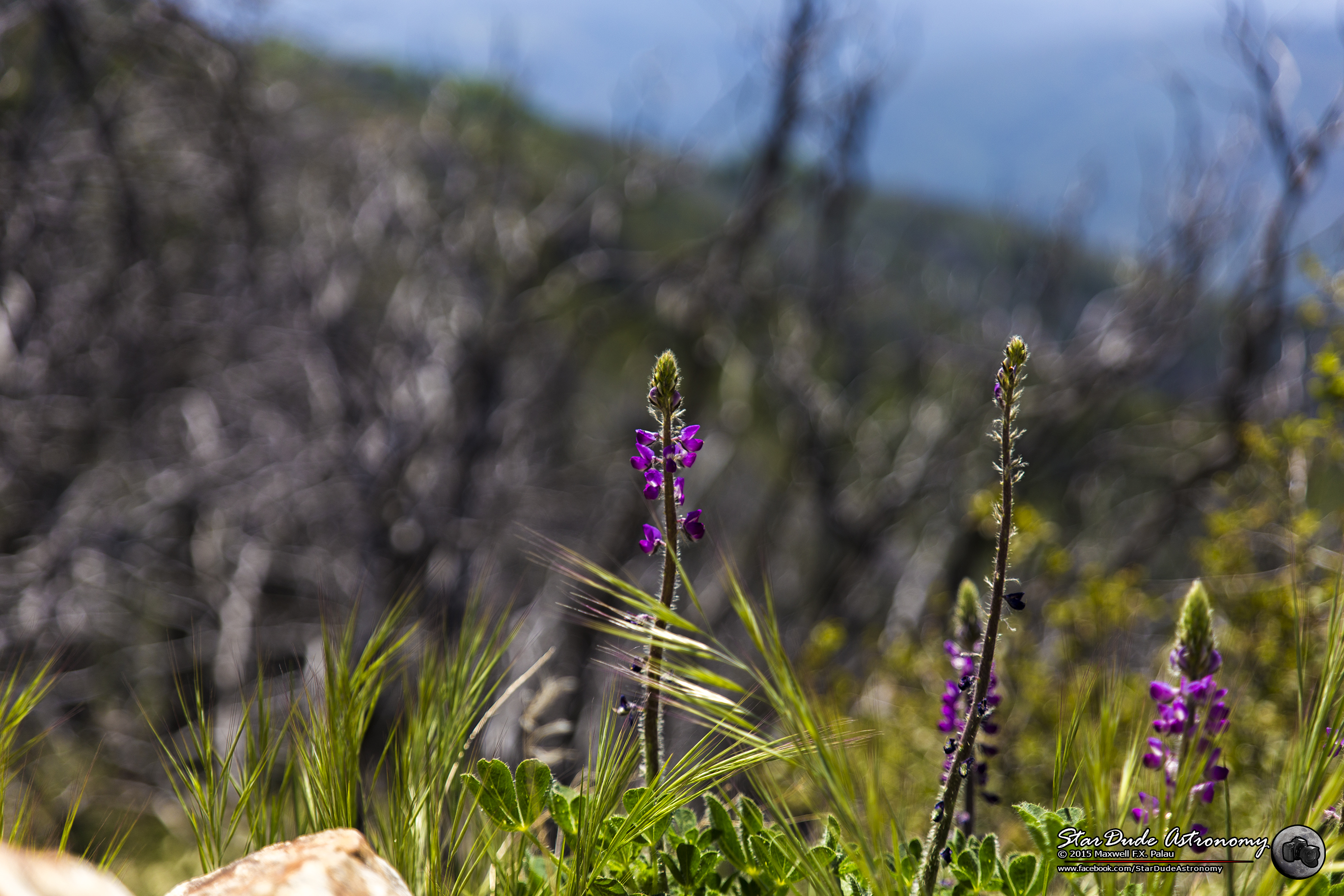
Cleveland National Forest 014

Santa Ysabel
San Pasqual Valley Panorama
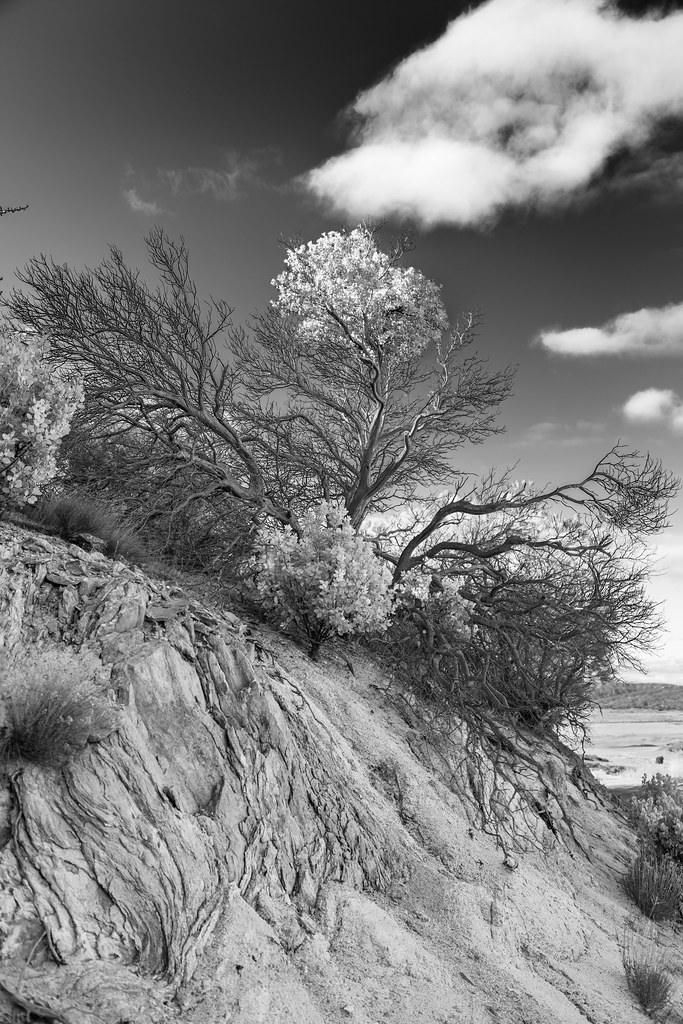
Branches Like Lightning
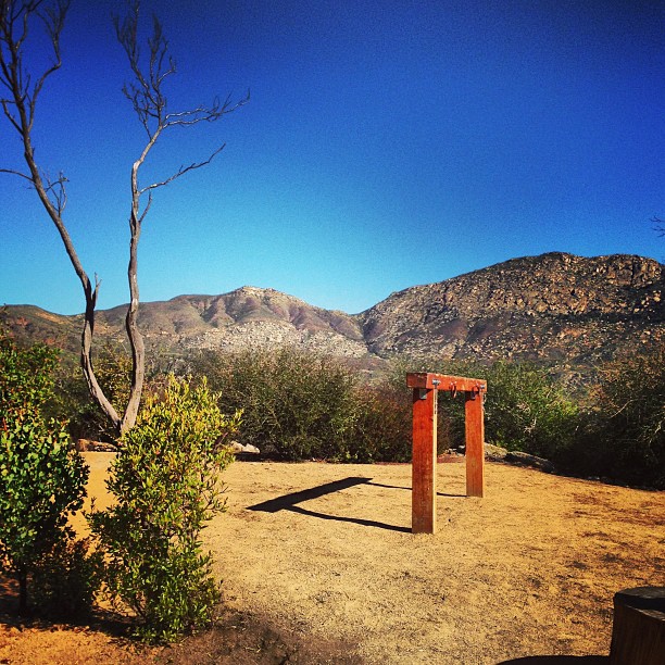
Trail head

Snapseed-54
IMG_0169.JPG

Love Valley Barn
Standing Out
IMG_0170.JPG
Topographic Map of Black Mountain Truck Trail, Santa Ysabel, CA, USA
Find elevation by address:

Places near Black Mountain Truck Trail, Santa Ysabel, CA, USA:
25986 Mesa Grande Rd
Angel Mountain Road
25241 Mesa Grande Rd
25241 Mesa Grande Rd
25241 Mesa Grande Rd
24540 Black Canyon Rd
24540 Black Canyon Rd
Sutherland Dam Road
25818 Ca-78
Sunshine Valley Road
Ramona, CA, USA
26502 Ca-78
26502 Ca-78
20329 Rancho Villa Rd
25265 Old Julian Hwy
20391 Rancho Villa Rd
Creek Hollow Ranch Inc
18845 Paradise Mountain Rd
19198 Ricardo Ranch Rd
19162 Los Hermanos Ranch Rd
Recent Searches:
- Elevation of Corso Fratelli Cairoli, 35, Macerata MC, Italy
- Elevation of Tallevast Rd, Sarasota, FL, USA
- Elevation of 4th St E, Sonoma, CA, USA
- Elevation of Black Hollow Rd, Pennsdale, PA, USA
- Elevation of Oakland Ave, Williamsport, PA, USA
- Elevation of Pedrógão Grande, Portugal
- Elevation of Klee Dr, Martinsburg, WV, USA
- Elevation of Via Roma, Pieranica CR, Italy
- Elevation of Tavkvetili Mountain, Georgia
- Elevation of Hartfords Bluff Cir, Mt Pleasant, SC, USA