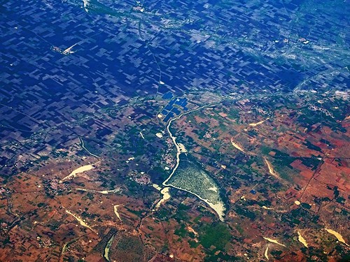
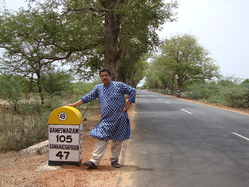
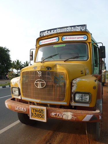
Elevation of Melakodumalur, Tamil Nadu, India
Location: India > Tamil Nadu > Virudhunagar >
Longitude: 78.4716424
Latitude: 9.4836002
Elevation: 46m / 151feet
Barometric Pressure: 101KPa
Related Photos:
Topographic Map of Melakodumalur, Tamil Nadu, India
Find elevation by address:

Places near Melakodumalur, Tamil Nadu, India:
Paramakudi
Komboothi
Paralachi
Ramanathapuram
Malangudi
Uthirakosamangai
Utrakosamangai
Karukkathi
Sivaganga
Aruppukkottai
Pudur
Kariapatti
Mangulam
Vilathikulam
Virudhunagar
Virudhunagar Government Hospital Icu Unit
Sattur
Tirumangalam
Virudhunagar
T.kallupatti
Recent Searches:
- Elevation of Corso Fratelli Cairoli, 35, Macerata MC, Italy
- Elevation of Tallevast Rd, Sarasota, FL, USA
- Elevation of 4th St E, Sonoma, CA, USA
- Elevation of Black Hollow Rd, Pennsdale, PA, USA
- Elevation of Oakland Ave, Williamsport, PA, USA
- Elevation of Pedrógão Grande, Portugal
- Elevation of Klee Dr, Martinsburg, WV, USA
- Elevation of Via Roma, Pieranica CR, Italy
- Elevation of Tavkvetili Mountain, Georgia
- Elevation of Hartfords Bluff Cir, Mt Pleasant, SC, USA
