Elevation of McElheney Crossroad, Monticello, GA, USA
Location: United States > Georgia > Jasper County > Monticello >
Longitude: -83.764429
Latitude: 33.2396507
Elevation: 192m / 630feet
Barometric Pressure: 99KPa
Elevation Map:
Satellite Map:
Related Photos:
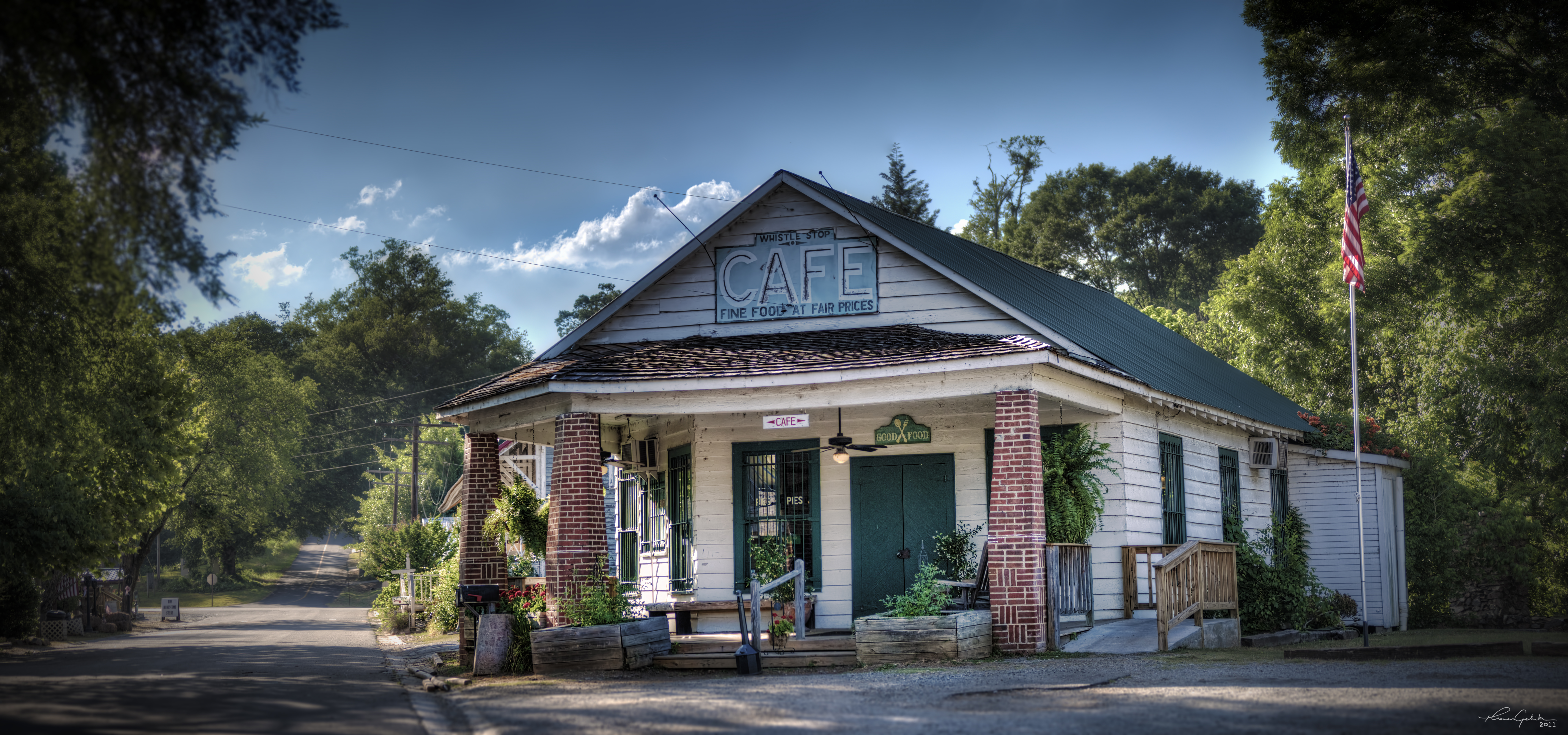
The Whistle Stop Cafe

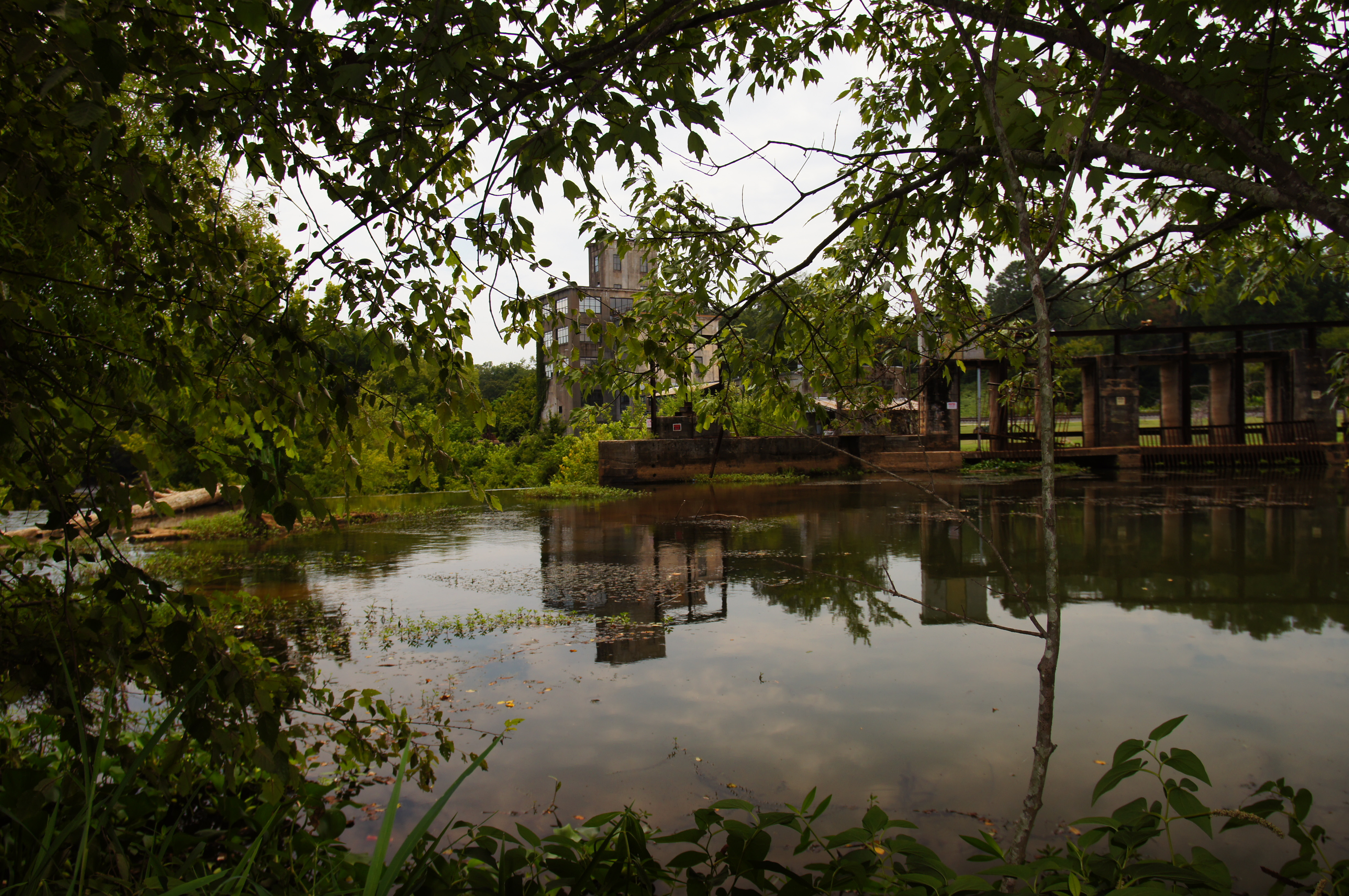
Juliette Milling Company
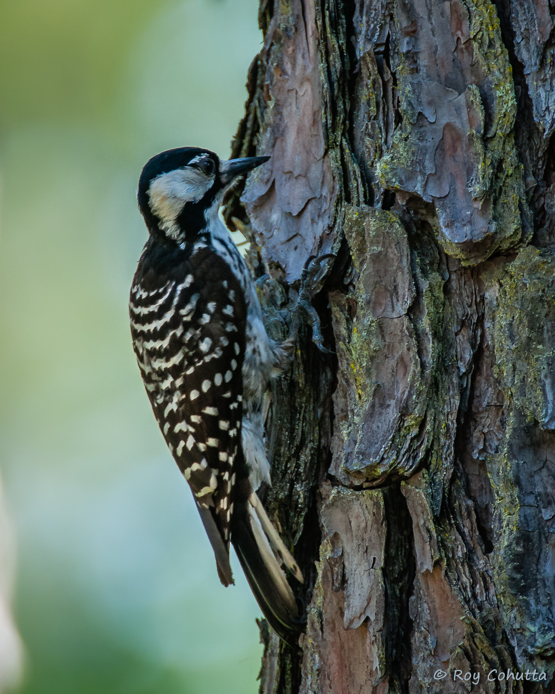
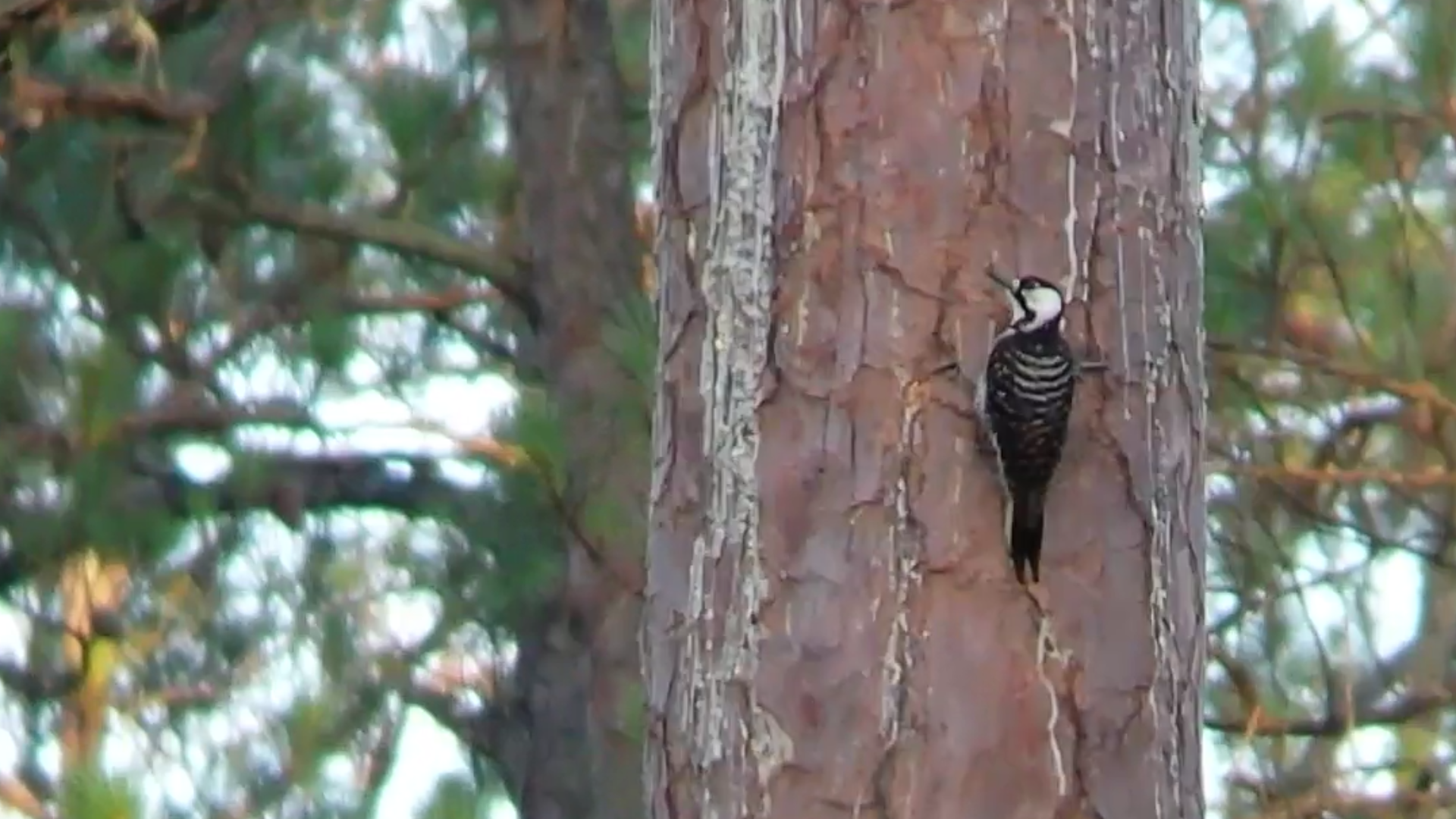
Red-cockaded Woodpecker
Red-cockaded Woodpecker

Red-cockaded Woodpecker
Red-cockaded Woodpecker

51/365: Panoramic View of China Grove Cemetery

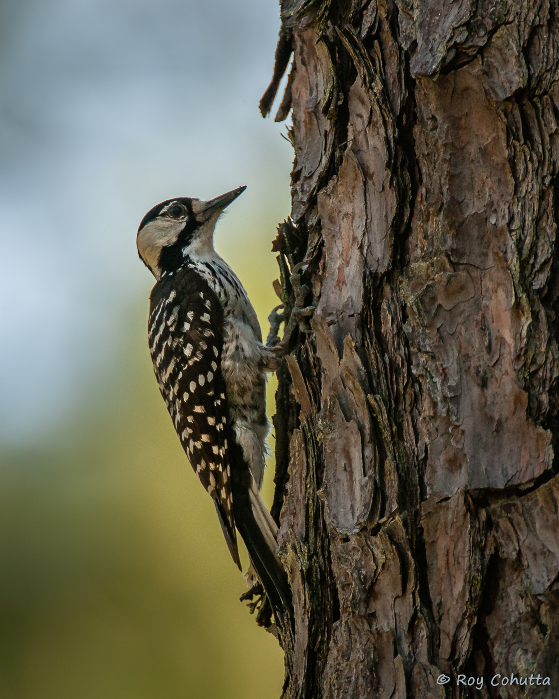
Red-cockaded Woodpecker
Ocmulgee neg SWWA hab 2
Ocmulgee neg SWWA hab 1
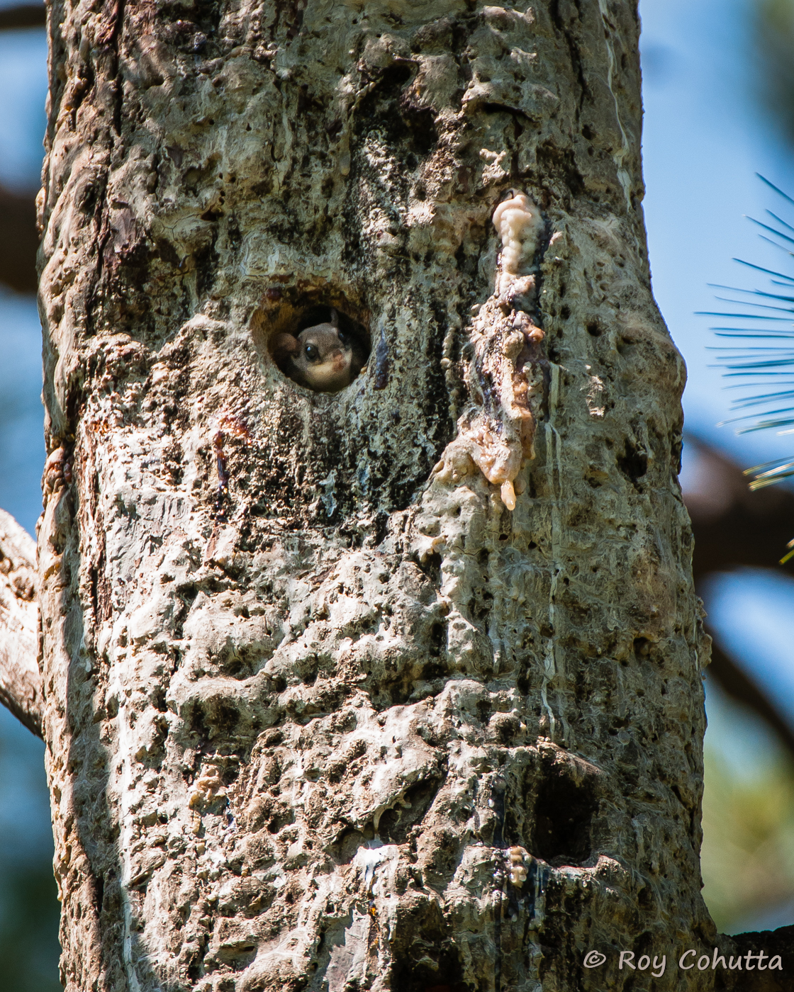
Red-cockaded Nest Tree with Flying Squirrel

Common Yellowthroat
Red-cockaded Woodpecker habitat
Bearlax Historic Wall Ad View 2
Barracks, Frontal View
Hillsboro neg SWWA hab
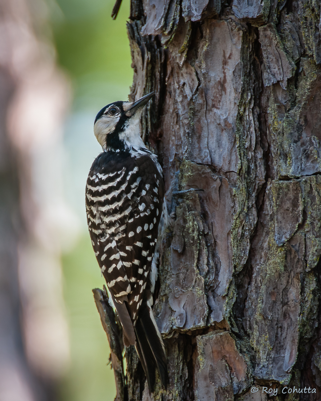
Red-cockaded Woodpecker
Red-cockaded Woodpecker
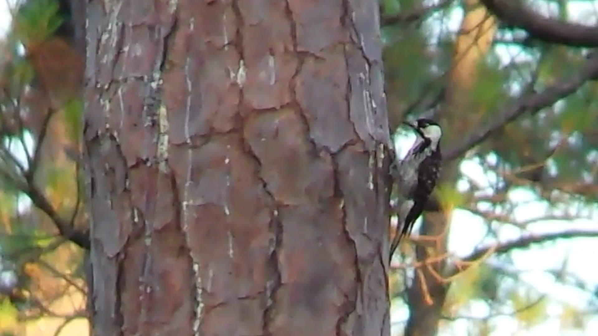
Red-cockaded Woodpecker
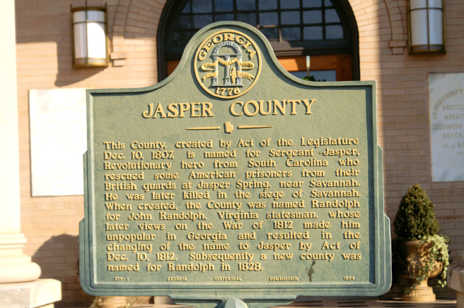
Jasper County GHM 070-1

It's not bragging if it's a fact....(Explored Oct. 4, 2011)
153-5337_IMG
Big Sandy Creek, Indian Springs State Park, Butts County, Georgia 1
Big Sandy Creek, Indian Springs State Park, Butts County, Georgia 2
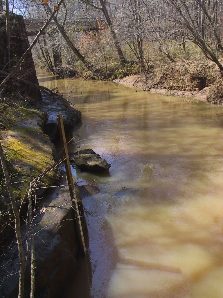
USGS 02212600 FALLING CREEK NEAR JULIETTE, GA
Precipitous Wood
DSC01736.JPG

Juliette Mill
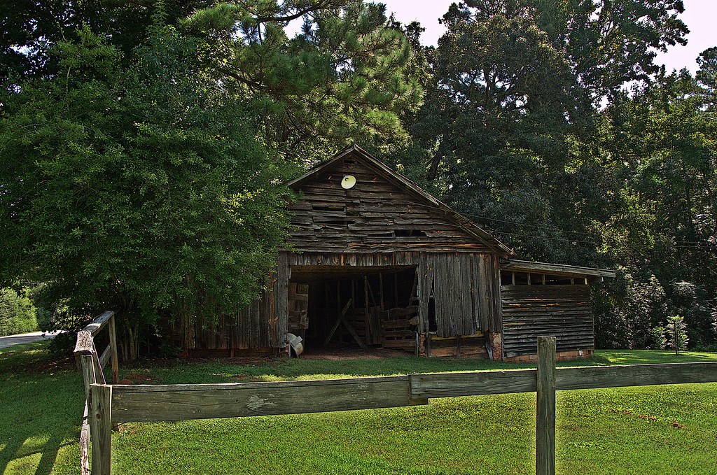
Old Barn
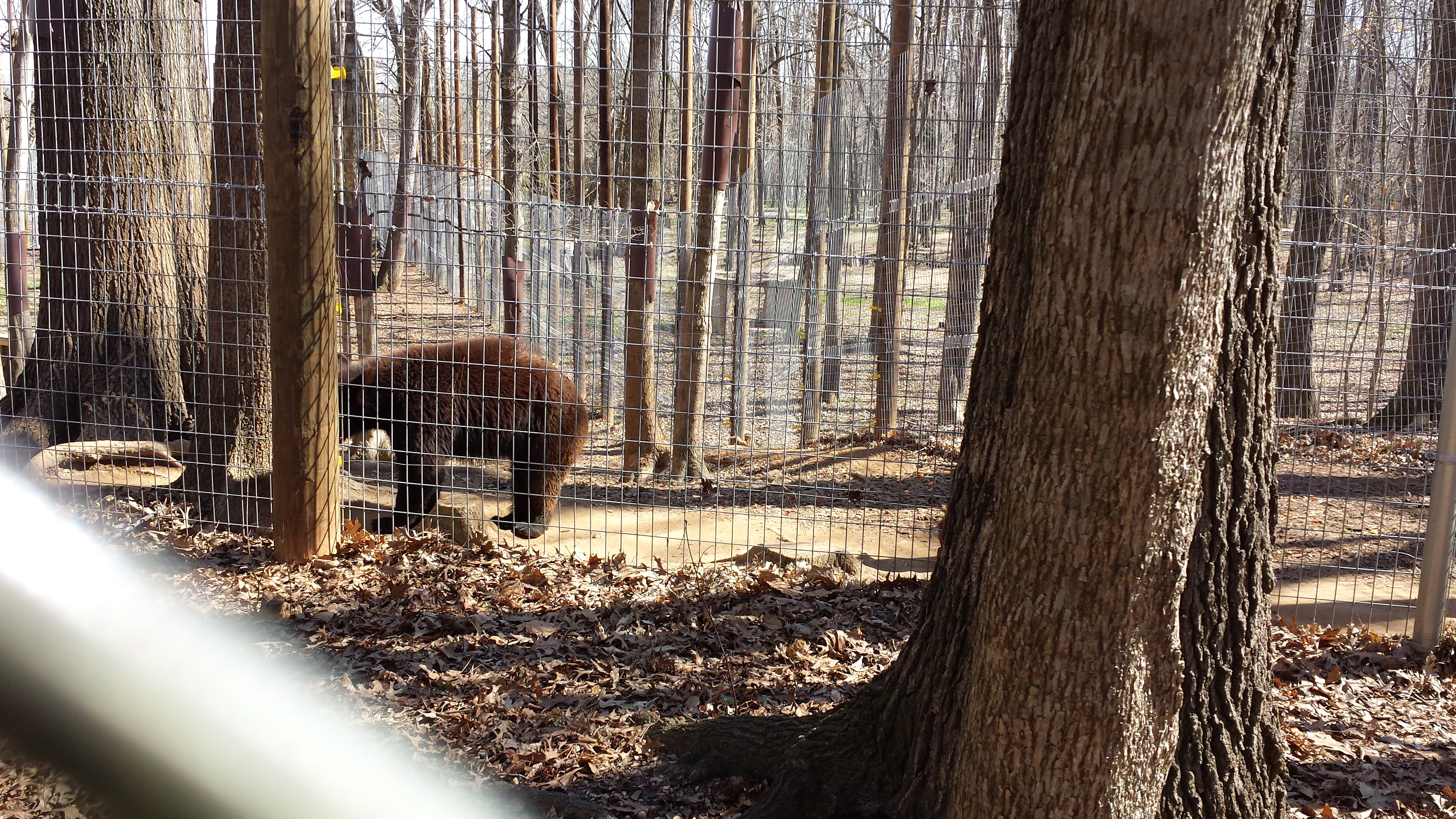
Valentine's Day 2015 - Noahs Ark Animal Sanctuary
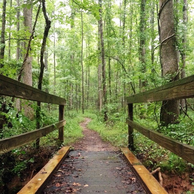
I picked the wettest day of the year for my longest run of the year. #trailrunning #trailrunner
On the rocks at Indian Springs State Park. #gastateparks #exploregeorgia
Hwy 11 South
Topographic Map of McElheney Crossroad, Monticello, GA, USA
Find elevation by address:

Places near McElheney Crossroad, Monticello, GA, USA:
33 Edwards Rd, Monticello, GA, USA
Jasper County
Monticello
129 Pittmans Ferry Rd
Sandy Cr Rd, Flovilla, GA, USA
Post Rd, Monticello, GA, USA
172 Tater Hill Rd
Flovilla
GA-, Monticello, GA, USA
1518 Ga-42 #147
100 Falcon Cir
Georgia 212 & Jackson Lake Road
365 Falcon Cir
Post Rd, Monticello, GA, USA
50 Osprey Ct
GA-42, Flovilla, GA, USA
3024 Jackson Lake Rd
60 Kingfisher Ct, Monticello, GA, USA
Jackson Lake
Campbell Rd, Covington, GA, USA
Recent Searches:
- Elevation of Corso Fratelli Cairoli, 35, Macerata MC, Italy
- Elevation of Tallevast Rd, Sarasota, FL, USA
- Elevation of 4th St E, Sonoma, CA, USA
- Elevation of Black Hollow Rd, Pennsdale, PA, USA
- Elevation of Oakland Ave, Williamsport, PA, USA
- Elevation of Pedrógão Grande, Portugal
- Elevation of Klee Dr, Martinsburg, WV, USA
- Elevation of Via Roma, Pieranica CR, Italy
- Elevation of Tavkvetili Mountain, Georgia
- Elevation of Hartfords Bluff Cir, Mt Pleasant, SC, USA