Elevation of 50 Osprey Ct, Monticello, GA, USA
Location: United States > Georgia > Jasper County > Monticello >
Longitude: -83.829672
Latitude: 33.3794213
Elevation: 193m / 633feet
Barometric Pressure: 99KPa
Elevation Map:
Satellite Map:
Related Photos:

51/365: Panoramic View of China Grove Cemetery

Bearlax Historic Wall Ad View 2
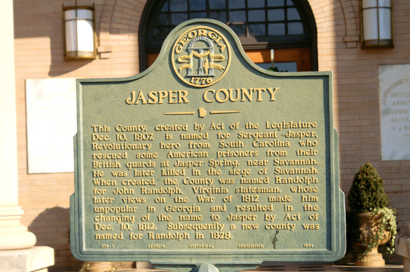
Jasper County GHM 070-1

_DSC3370.JPG

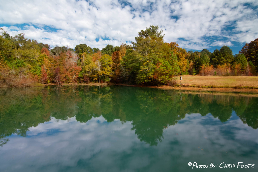
Fall Colors - Dairy Pond

DSC04489.JPG

Fall Colors - Dove Pond
Fall Colors - Dove Pond
DSC01592.JPG
_DSC0046_edited-1.jpg

Colors at the Lake

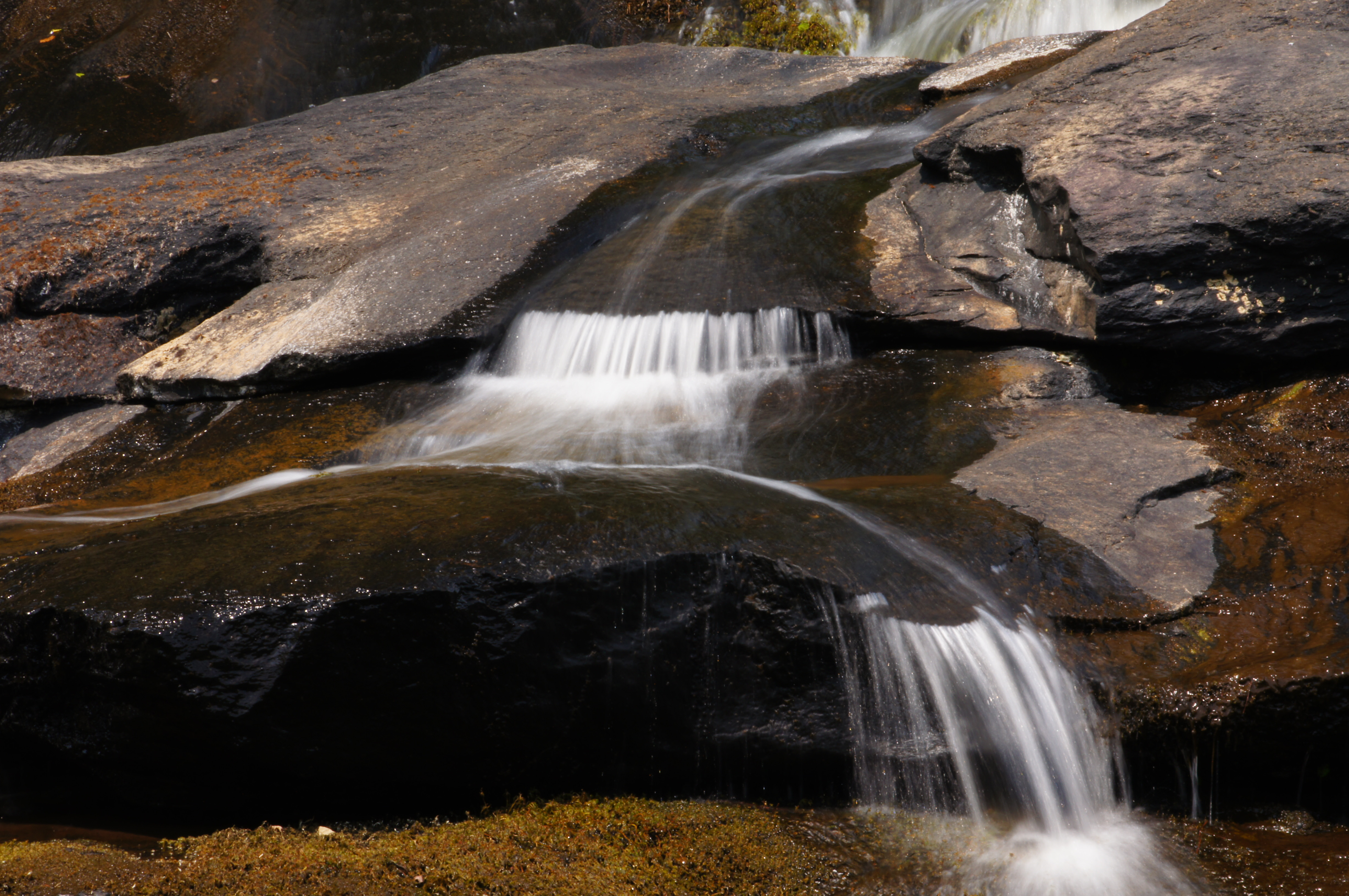
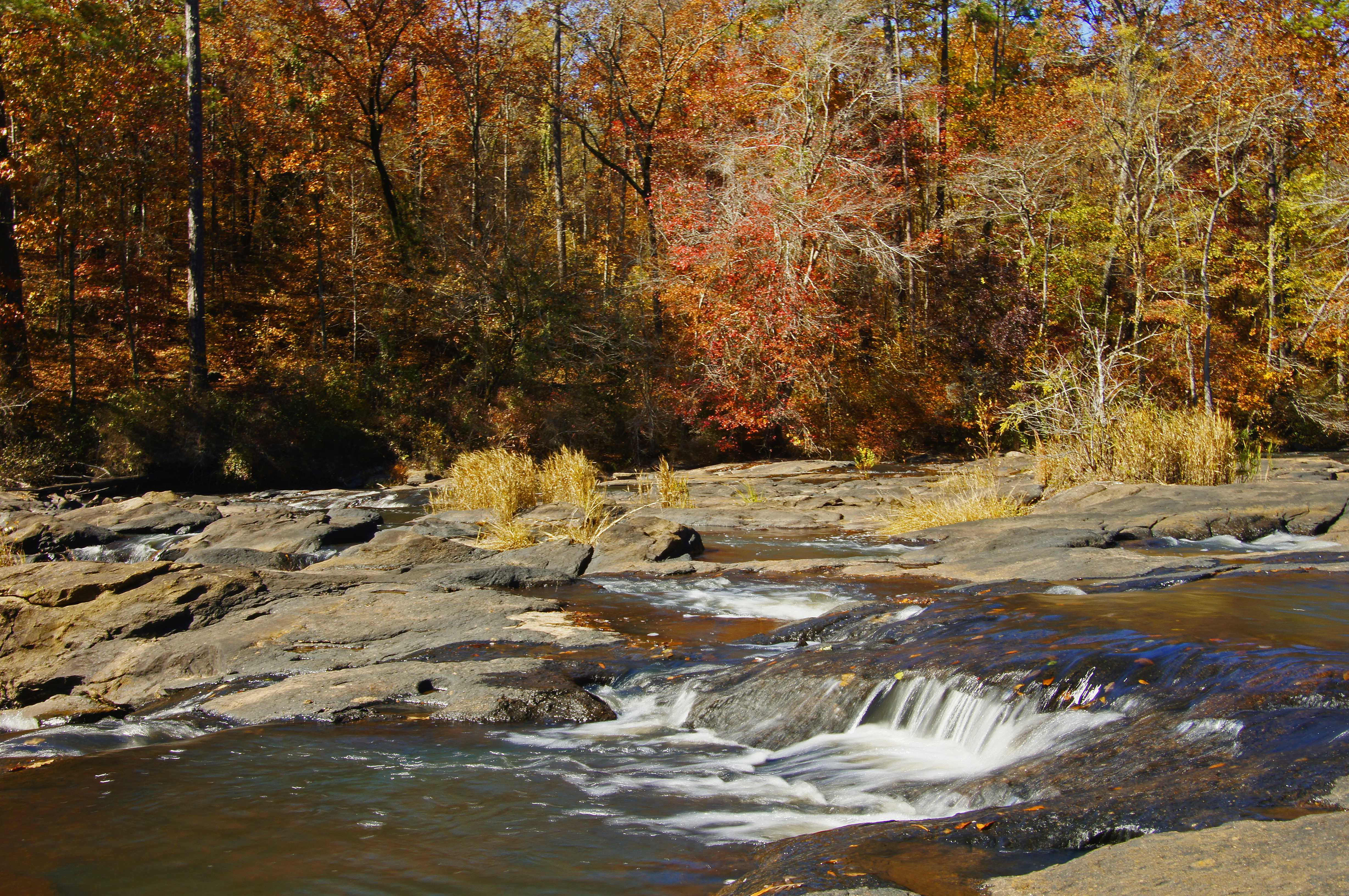
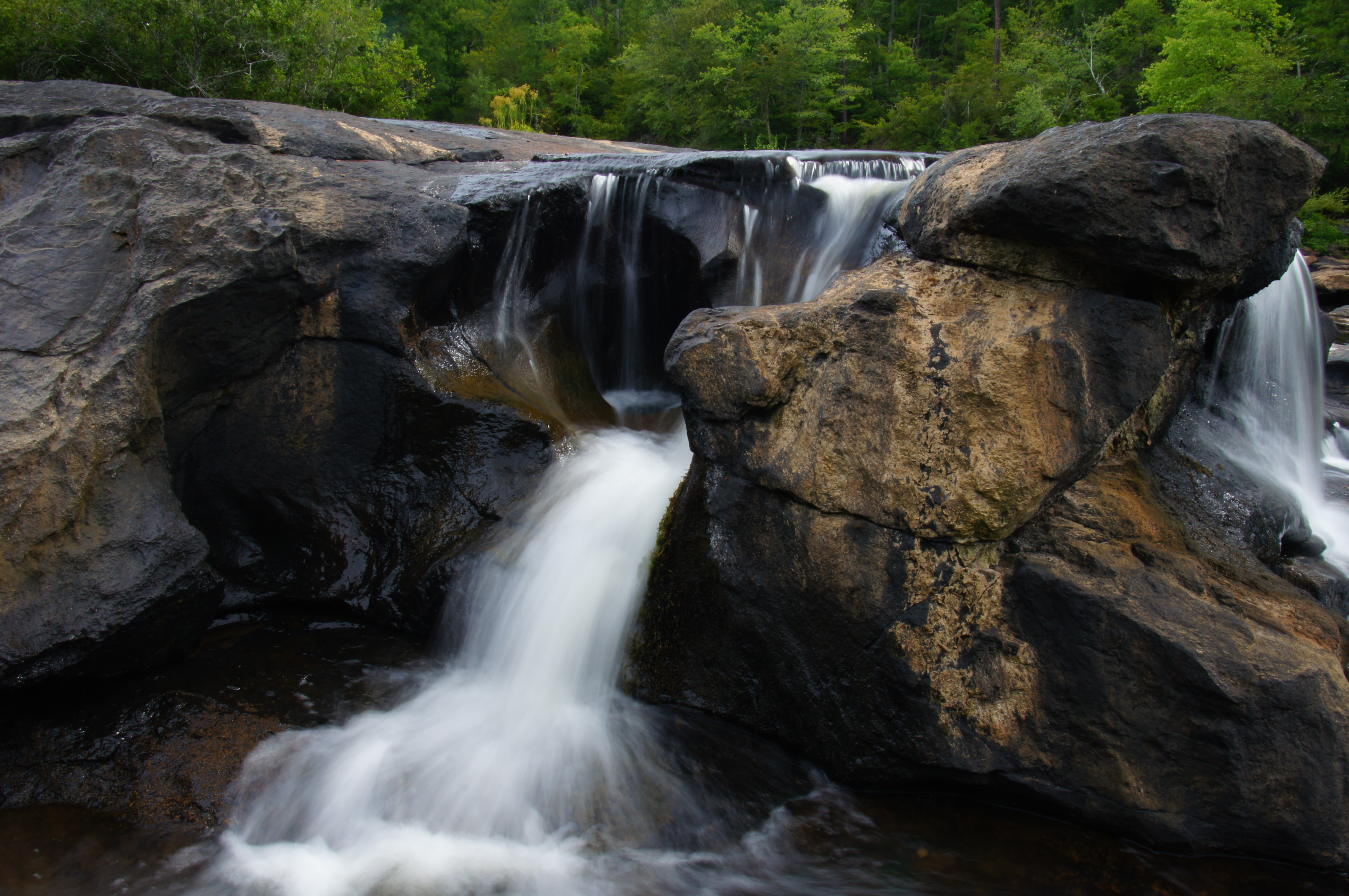
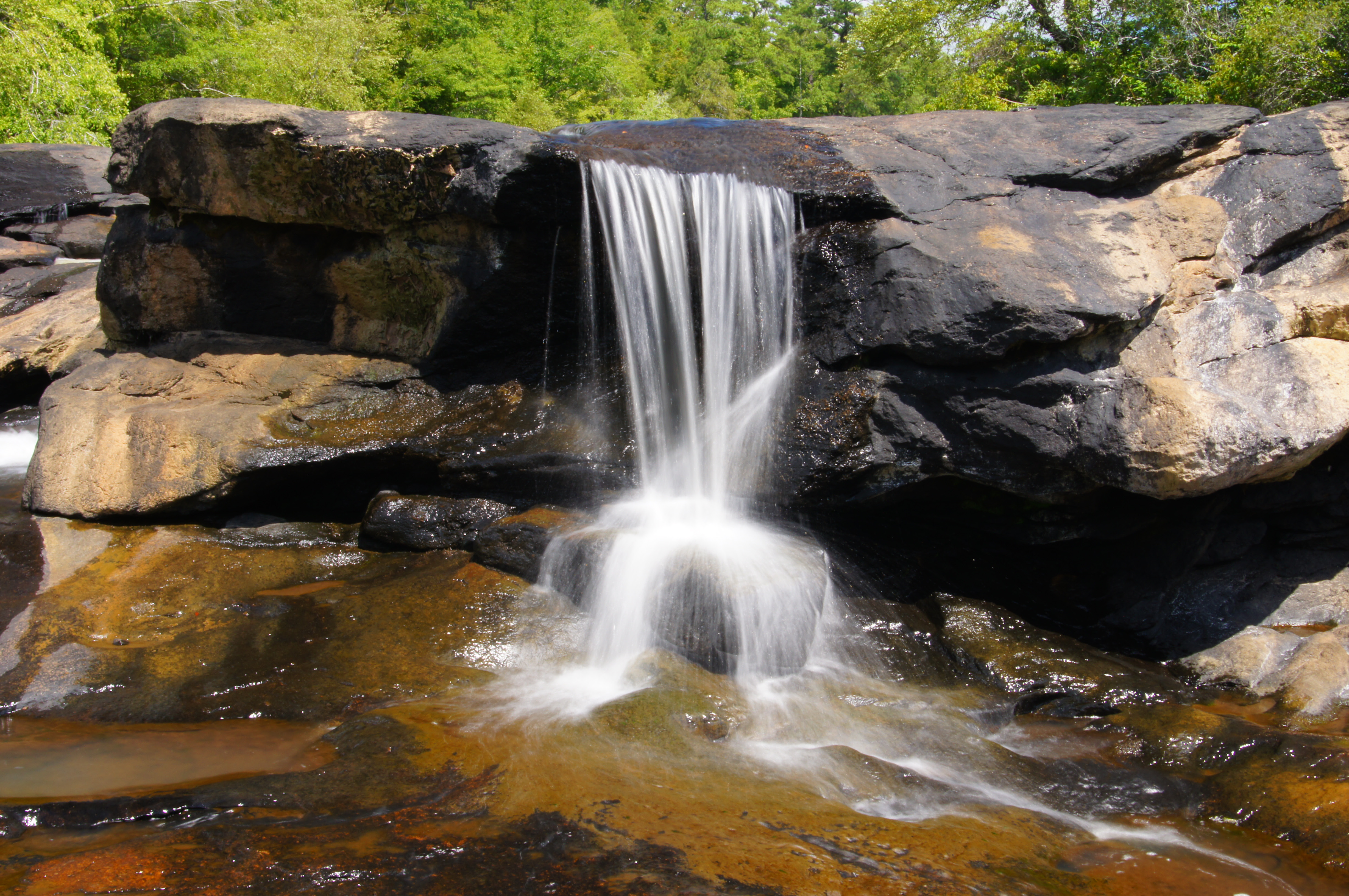
Factory Shoals

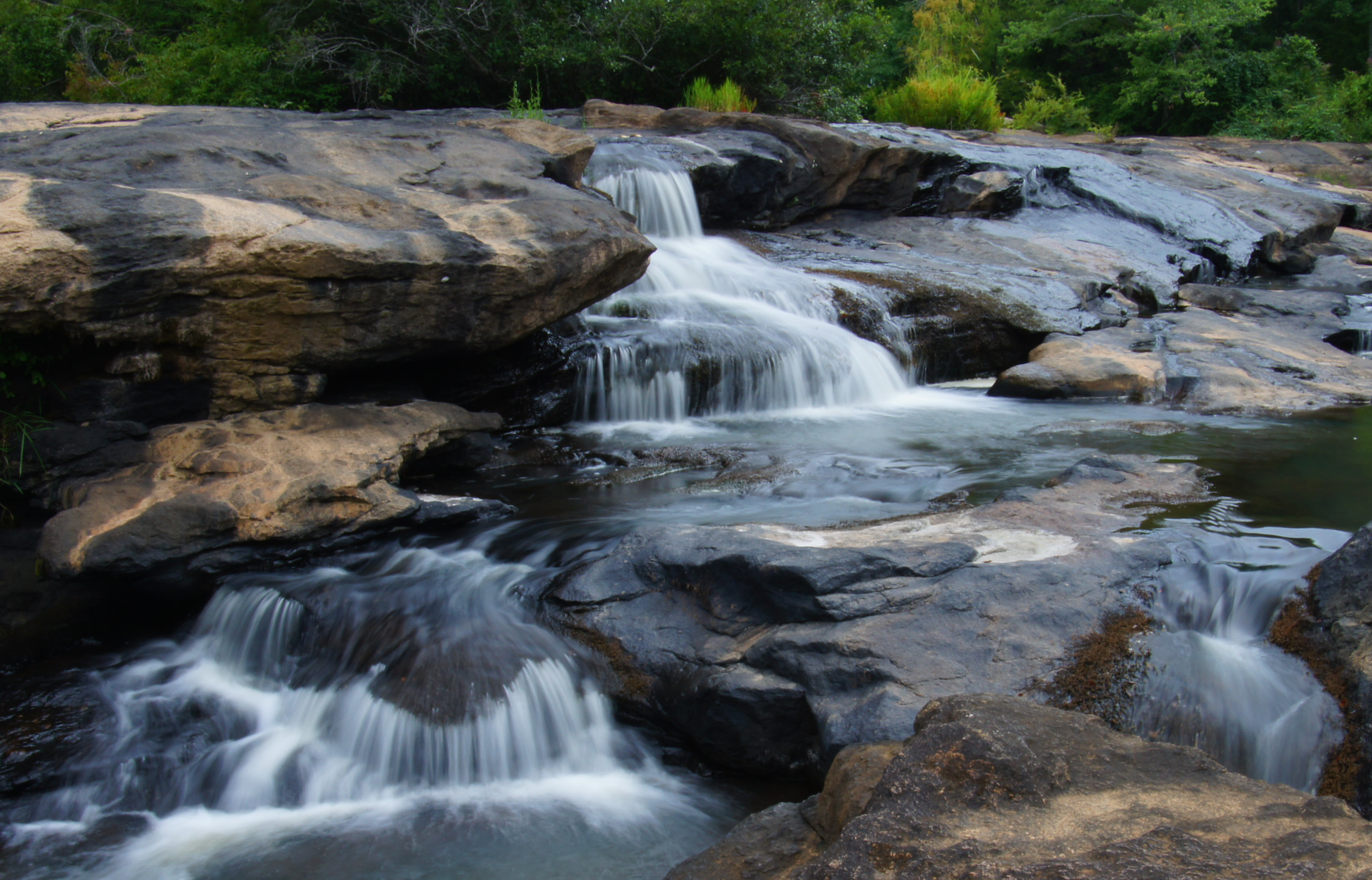
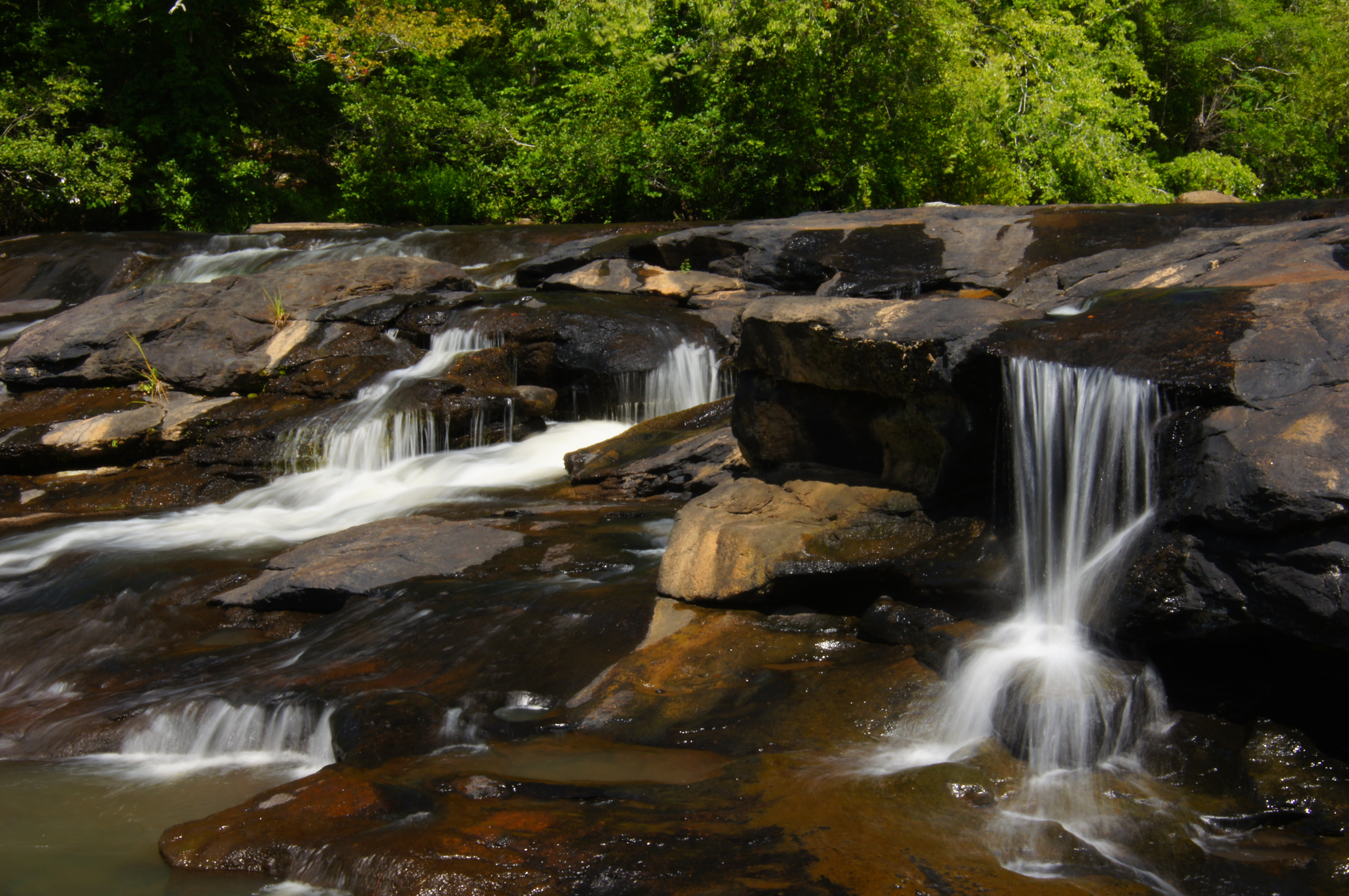
Factory Shoals

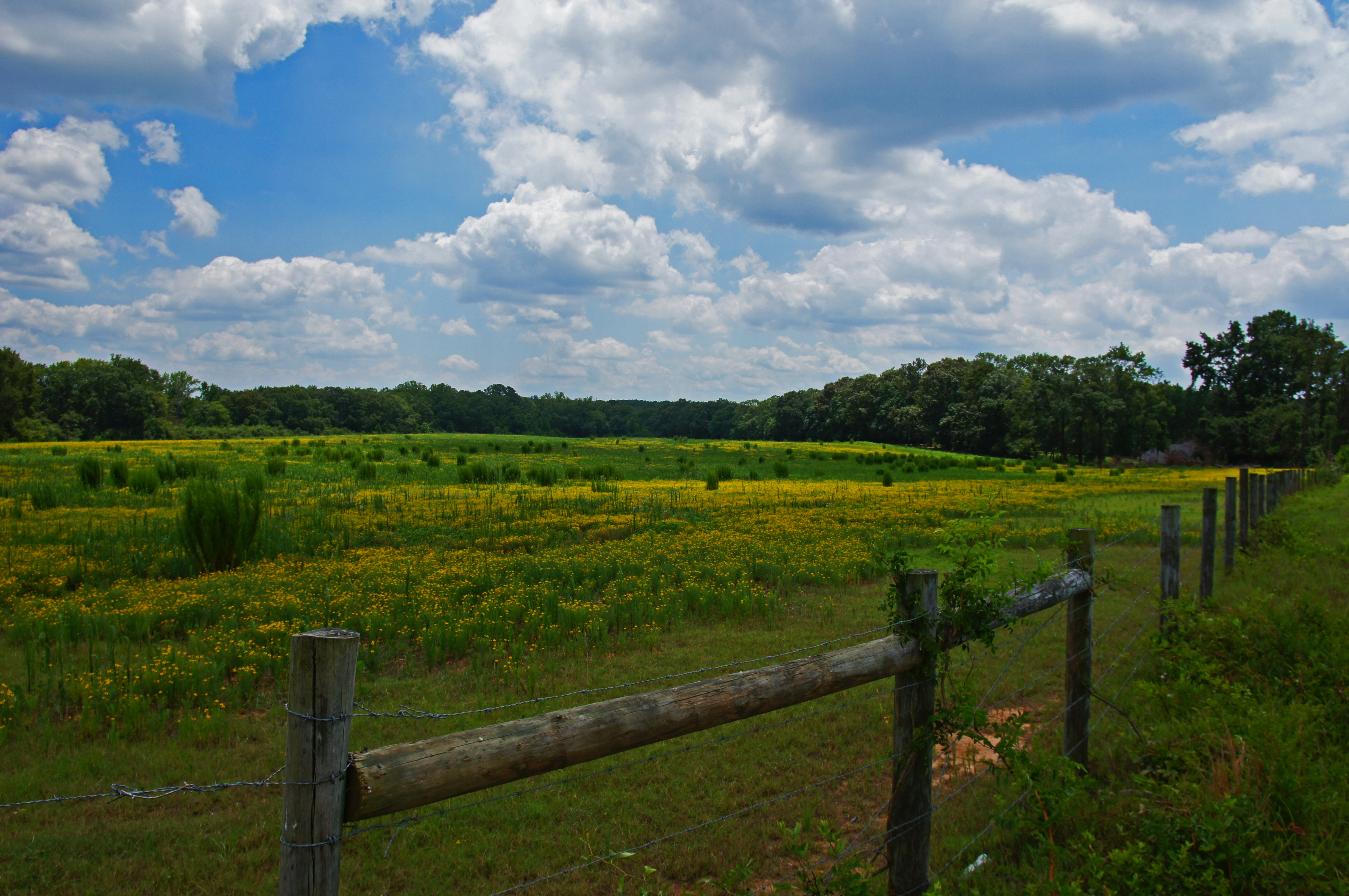
Marshmallow Field
DSC01378.JPG
DSC01336_edited-1.JPG

_DSC3366.JPG

Fall Colors - Whitetail Pond
DSC01254_edited-1.jpg

_DSC9795.JPG
DSC04156.JPG

DSC01826_edited-1.jpg
DSC01144.JPG
DSC01123.JPG
Topographic Map of 50 Osprey Ct, Monticello, GA, USA
Find elevation by address:

Places near 50 Osprey Ct, Monticello, GA, USA:
365 Falcon Cir
100 Falcon Cir
60 Kingfisher Ct, Monticello, GA, USA
Georgia 212 & Jackson Lake Road
GA-, Monticello, GA, USA
3024 Jackson Lake Rd
Jackson Lake
Campbell Rd, Covington, GA, USA
955 Campbell Rd
120 Friddell Rd
118 Friddell Rd
119 Friddell Rd
172 Tater Hill Rd
129 Pittmans Ferry Rd
132 Jim Mcmichael Rd
165 Williamson Rd
Jasper County
GA-36, Jackson, GA, USA
Flovilla
1518 Ga-42 #147
Recent Searches:
- Elevation of Corso Fratelli Cairoli, 35, Macerata MC, Italy
- Elevation of Tallevast Rd, Sarasota, FL, USA
- Elevation of 4th St E, Sonoma, CA, USA
- Elevation of Black Hollow Rd, Pennsdale, PA, USA
- Elevation of Oakland Ave, Williamsport, PA, USA
- Elevation of Pedrógão Grande, Portugal
- Elevation of Klee Dr, Martinsburg, WV, USA
- Elevation of Via Roma, Pieranica CR, Italy
- Elevation of Tavkvetili Mountain, Georgia
- Elevation of Hartfords Bluff Cir, Mt Pleasant, SC, USA