Elevation of Campbell Rd, Covington, GA, USA
Location: United States > Georgia > Newton County > Covington >
Longitude: -83.856117
Latitude: 33.396517
Elevation: 203m / 666feet
Barometric Pressure: 99KPa
Elevation Map:
Satellite Map:
Related Photos:

20171106-IMG_5108

Old Barn

Fall Colors - Dairy Pond
Factory Shoals
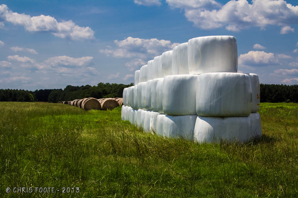
Marshmallow Field

Factory Shoals

Fall Colors - Whitetail Pond

Fall Colors - Dove Pond

Fall Colors - Dove Pond

Boy and Lake

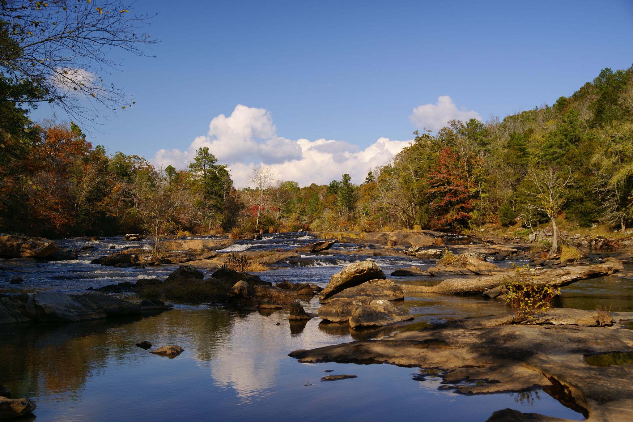
Calm beyond the shoals

Charlie Elliott Wildlife Center

Matt stirring the water

Continuing the hike

Beautiful day

More fishing

Below the shoals

Sage Thrasher. Charlie Elliot Nature Center, Jasper County, 20 Dec 2002. Photo by Pierre Howard

What if a tree fell in the forest?

Red troop

DSC01024_edited-1.jpg
Topographic Map of Campbell Rd, Covington, GA, USA
Find elevation by address:

Places near Campbell Rd, Covington, GA, USA:
Campbell Rd, Covington, GA, USA
60 Kingfisher Ct, Monticello, GA, USA
120 Friddell Rd
118 Friddell Rd
119 Friddell Rd
Jackson Lake
50 Osprey Ct
365 Falcon Cir
100 Falcon Cir
Georgia 212 & Jackson Lake Road
GA-, Monticello, GA, USA
3024 Jackson Lake Rd
172 Tater Hill Rd
132 Jim Mcmichael Rd
165 Williamson Rd
129 Pittmans Ferry Rd
GA-36, Jackson, GA, USA
Buster Brown Road
1518 Ga-42 #147
Peeksville Rd, Locust Grove, GA, USA
Recent Searches:
- Elevation of Corso Fratelli Cairoli, 35, Macerata MC, Italy
- Elevation of Tallevast Rd, Sarasota, FL, USA
- Elevation of 4th St E, Sonoma, CA, USA
- Elevation of Black Hollow Rd, Pennsdale, PA, USA
- Elevation of Oakland Ave, Williamsport, PA, USA
- Elevation of Pedrógão Grande, Portugal
- Elevation of Klee Dr, Martinsburg, WV, USA
- Elevation of Via Roma, Pieranica CR, Italy
- Elevation of Tavkvetili Mountain, Georgia
- Elevation of Hartfords Bluff Cir, Mt Pleasant, SC, USA