Elevation of Jackson Lake Rd, Mansfield, GA, USA
Location: United States > Georgia > Newton County > Mansfield >
Longitude: -83.805292
Latitude: 33.391048
Elevation: 205m / 673feet
Barometric Pressure: 99KPa
Elevation Map:
Satellite Map:
Related Photos:

Jasper County GHM 070-1

Bearlax Historic Wall Ad View 2

_DSC3370.JPG

Fall Colors - Dairy Pond

Fall Colors - Dove Pond

Fall Colors - Dove Pond
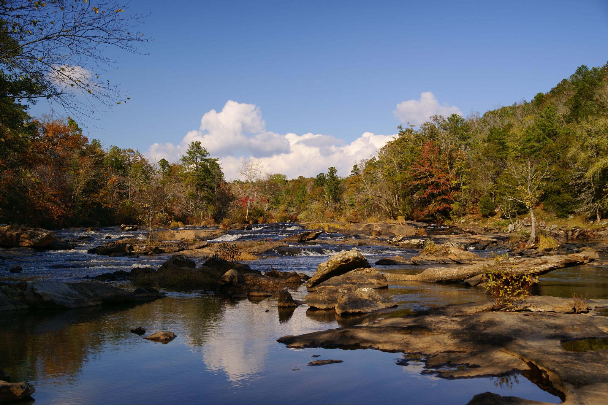
Factory Shoals

_DSC0046_edited-1.jpg

Colors at the Lake

DSC01592.JPG

_DSC3366.JPG

Fall Colors - Whitetail Pond

DSC01254_edited-1.jpg

DSC01336_edited-1.JPG

_DSC9795.JPG

Factory Shoals
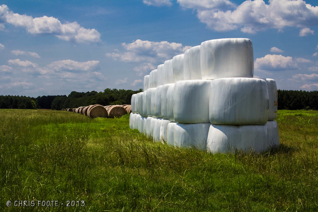
Marshmallow Field

DSC01812_edited-1.JPG

DSC04474.JPG

Below the shoals

Hay Field

DSC04156.JPG

DSC01826_edited-1.jpg
Topographic Map of Jackson Lake Rd, Mansfield, GA, USA
Find elevation by address:

Places near Jackson Lake Rd, Mansfield, GA, USA:
Georgia 212 & Jackson Lake Road
GA-, Monticello, GA, USA
365 Falcon Cir
100 Falcon Cir
50 Osprey Ct
60 Kingfisher Ct, Monticello, GA, USA
955 Campbell Rd
Jackson Lake
Campbell Rd, Covington, GA, USA
120 Friddell Rd
118 Friddell Rd
119 Friddell Rd
172 Tater Hill Rd
129 Pittmans Ferry Rd
Jasper County
Post Rd, Monticello, GA, USA
132 Jim Mcmichael Rd
Post Rd, Monticello, GA, USA
165 Williamson Rd
33 Edwards Rd, Monticello, GA, USA
Recent Searches:
- Elevation of Corso Fratelli Cairoli, 35, Macerata MC, Italy
- Elevation of Tallevast Rd, Sarasota, FL, USA
- Elevation of 4th St E, Sonoma, CA, USA
- Elevation of Black Hollow Rd, Pennsdale, PA, USA
- Elevation of Oakland Ave, Williamsport, PA, USA
- Elevation of Pedrógão Grande, Portugal
- Elevation of Klee Dr, Martinsburg, WV, USA
- Elevation of Via Roma, Pieranica CR, Italy
- Elevation of Tavkvetili Mountain, Georgia
- Elevation of Hartfords Bluff Cir, Mt Pleasant, SC, USA