Elevation of Maxfield, IA, USA
Location: United States > Iowa > Bremer County >
Longitude: -92.243348
Latitude: 42.7052639
Elevation: 306m / 1004feet
Barometric Pressure: 98KPa
Elevation Map:
Satellite Map:
Related Photos:

Brewer's Blackbird
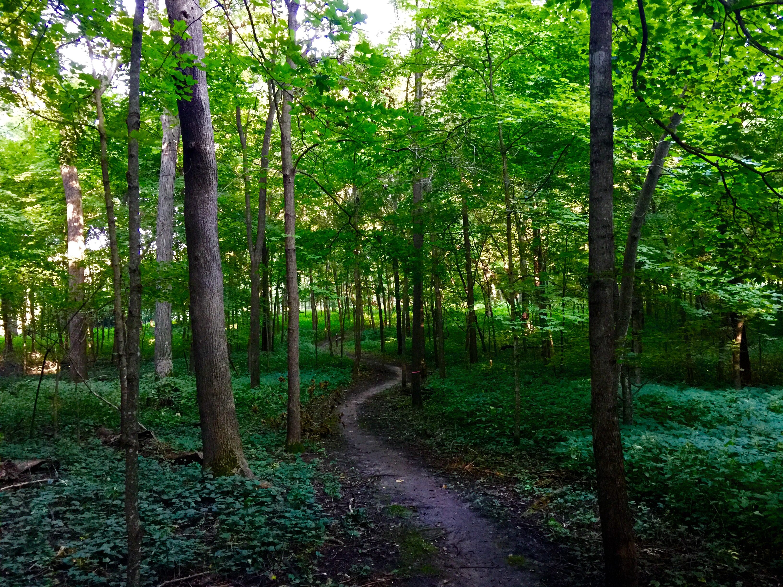
Hike near Janesville, IA
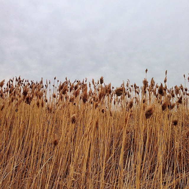
Earth and Sky
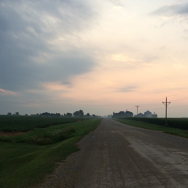
Country Roads #goodmorning #iowa #peaceful
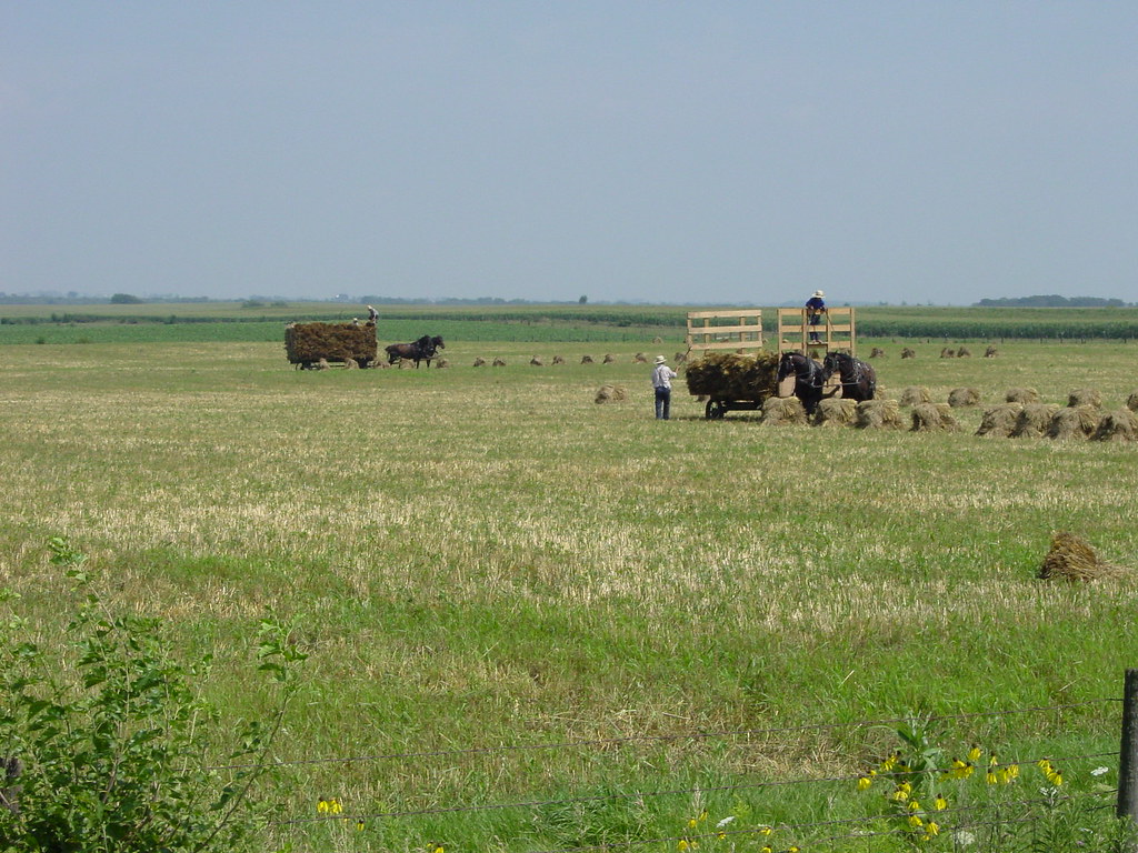
amish farmers
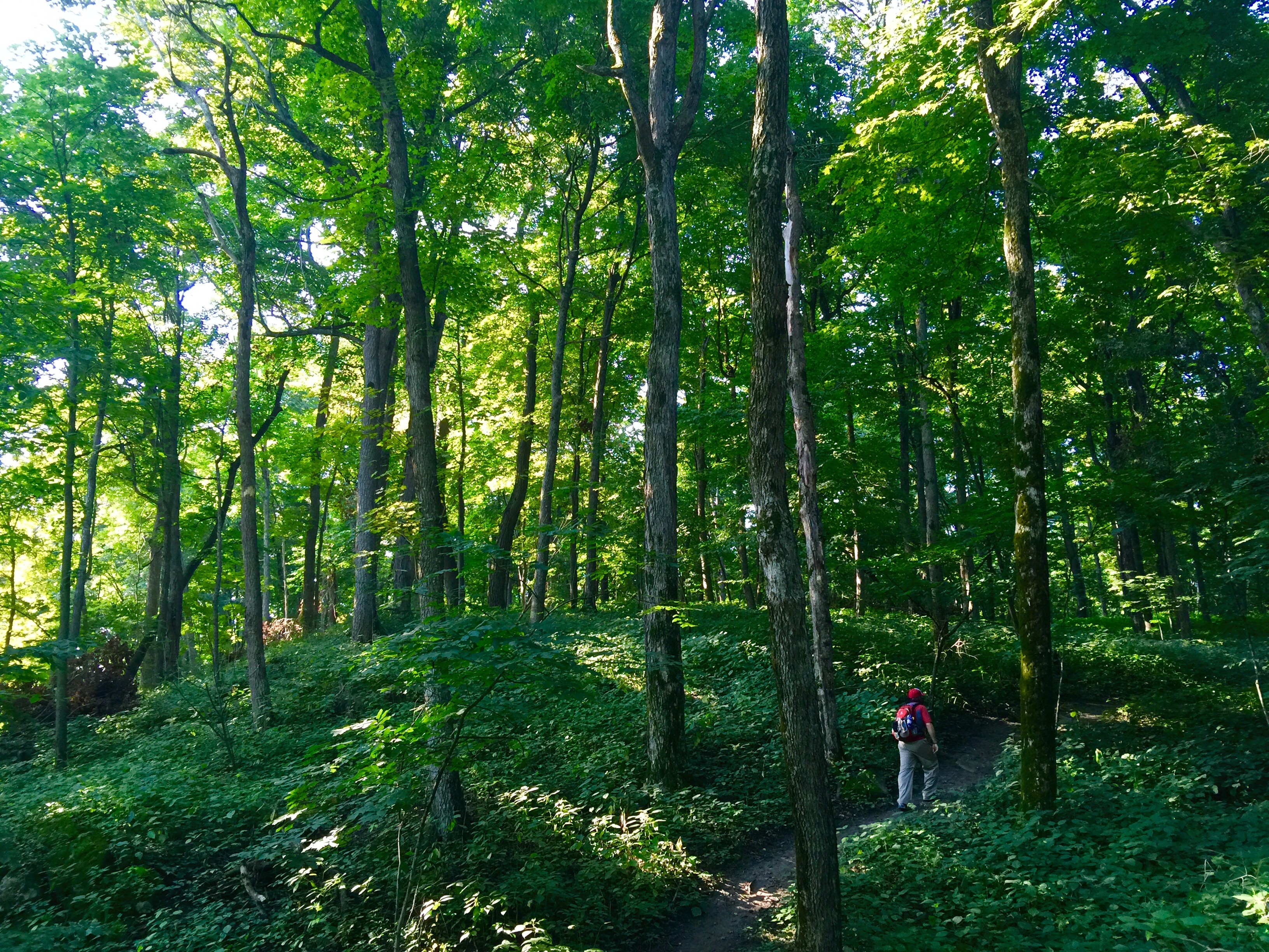
Hike near Janesville, IA

Visitor Meanwhile
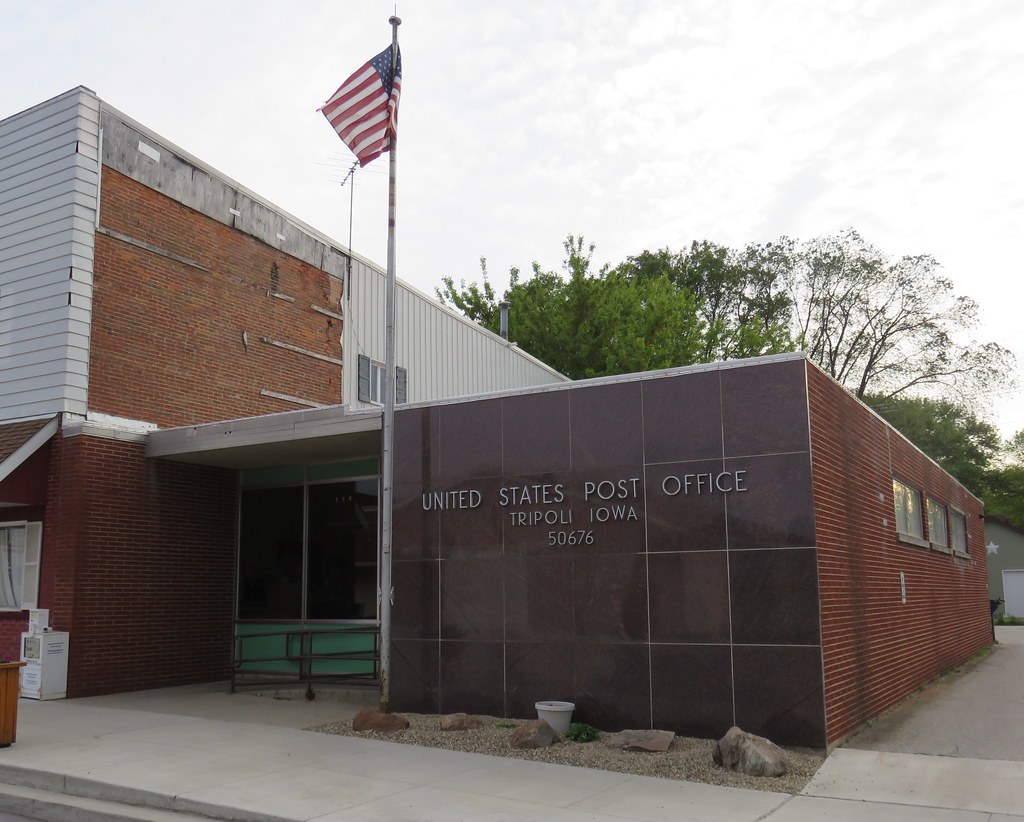
Post Office 50676 (Tripoli, Iowa)
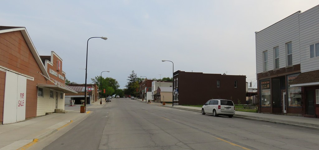
Downtown Tripoli, Iowa
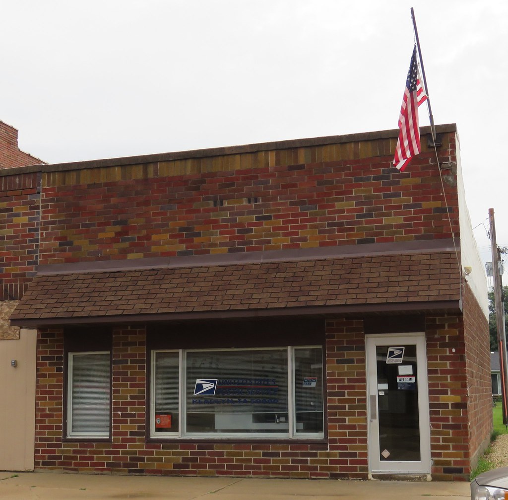
Post Office 50668 (Readlyn, Iowa)

We're all set for the movie! #VSCOcam #tripoli #springmovie #nurseryrhymesunit

Djburr & adde

Shrinky Dink Farm #doodle #sketch #drawing

Ingawanis & George Wyth singletrack day.

Ingawanis singletrack

IMG_2018-Edit
Topographic Map of Maxfield, IA, USA
Find elevation by address:

Places in Maxfield, IA, USA:
Places near Maxfield, IA, USA:
Readlyn
Main St, Readlyn, IA, USA
Denver
Larrabee Ave, Denver, IA, USA
Jefferson
2379 Whitetail Ave
Franklin
1815 250th St
6811 E Big Rock Rd
Dunkerton
E Dunkerton Rd, Dunkerton, IA, USA
Lester
Janesville
2703 Big Woods Rd
313 Western Ave
924 Joy St
322 Western Ave
1111 Center St
904 Cottage Row Ln
Recent Searches:
- Elevation of Corso Fratelli Cairoli, 35, Macerata MC, Italy
- Elevation of Tallevast Rd, Sarasota, FL, USA
- Elevation of 4th St E, Sonoma, CA, USA
- Elevation of Black Hollow Rd, Pennsdale, PA, USA
- Elevation of Oakland Ave, Williamsport, PA, USA
- Elevation of Pedrógão Grande, Portugal
- Elevation of Klee Dr, Martinsburg, WV, USA
- Elevation of Via Roma, Pieranica CR, Italy
- Elevation of Tavkvetili Mountain, Georgia
- Elevation of Hartfords Bluff Cir, Mt Pleasant, SC, USA