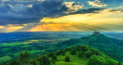
Elevation of Max-Eyth-Straße 42, Meßstetten, Germany

Location: Germany > Baden-württemberg > Tübingen > Meßstetten >

Longitude: 8.97469

Latitude: 48.19262

Elevation: 910m / 2986feet

Barometric Pressure: 91KPa

Elevation Map:

elevation map of Max-Eyth-Straße 42, Meßstetten, Germany

Satellite Map:

Satellite map of Max-Eyth-Straße 42, Meßstetten, Germany

Related Photos:

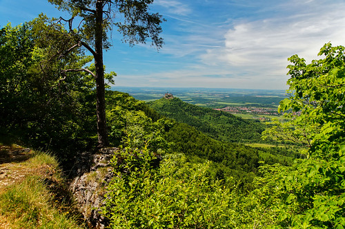
albstadt badenwürttemberg deu deutschland onstmettingen geo:lat=4830062725 geo:lon=897402938 geotagged
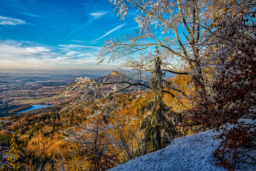
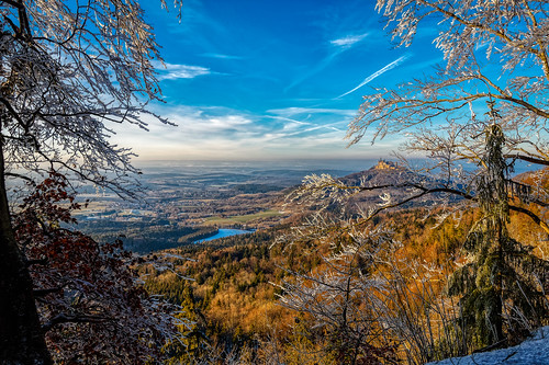
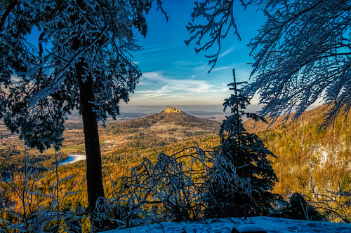
View towards Burg Hohenzollern
albstadt badenwürttemberg deu deutschland onstmettingen geo:lat=4830062725 geo:lon=897402938 geotagged
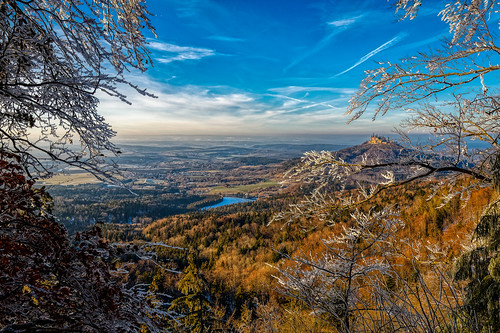
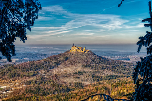
View towards Burg Hohenzollern
albstadt badenwürttemberg deu deutschland onstmettingen geo:lat=4830062725 geo:lon=897402938 geotagged
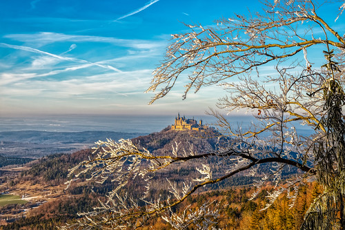
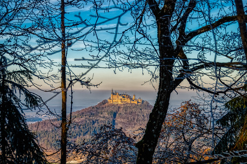
View towards Burg Hohenzollern
hapephotographix hohenzoller burghohenzollern hohenzollerncastle zellerhorn castillo burg castle zollernalb hdr radlab albstadt hechingen bisingen deutschland germany alemania badenwürttemberg onsmettingen 276alb 276swa fav10 276deu dsplyys
Hohenzollern Castle
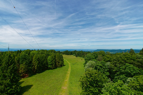
albstadt badenwürttemberg deu deutschland onstmettingen geo:lat=4829421402 geo:lon=895537501 geotagged
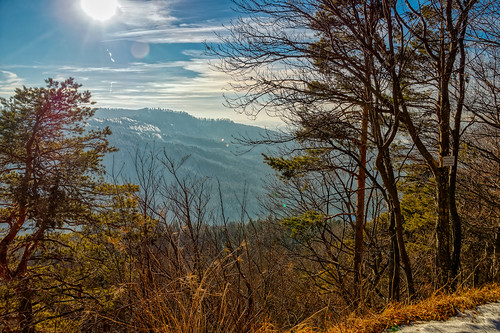
View towards the Irrenberg and Hundsrücken
albstadt badenwürttemberg deu deutschland onstmettingen geo:lat=4830062725 geo:lon=897402938 geotagged
View towards Burg Hohenzollern
albstadt badenwã¼rttemberg deu deutschland onstmettingen geo:lat=4830062368 geo:lon=897409375 geotagged
View towards Burg Hohenzollern
albstadt badenwürttemberg deu deutschland onstmettingen geo:lat=4829428957 geo:lon=895547809 geotagged
View towards Burg Hohenzollern
hohenzollern fog nebel vor sonnenaufgang damncool experiment iso800 zollern zollernalbkreis castlespalacesmanorhousesstatelyhomescottages canonpowershotsx1is germancastle canonsx1ispowershot canonsx1is powershot bridgecamera views200 views300 zoller schwäbischealb zimmern bisingen germany badenwürttemberg eagle1effi lumix architektur castle architecture sx1 canon burghohenzollern building gebäude burg burgen castles yourbestoftoday tagesbeste ae1fave favoriten lieblingsbilder flickr photos fotos beste bestof byeagle1effi selection selektion auswahl tubingue universität university mistandfog flickrfriday handselected dunst neblig
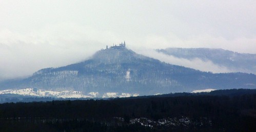
Der "Zoller" , castle `Burg Hohenzollern` - close in the evening and fog and distance at 5.30 a.m.
burghohenzollern zoller inside church kirche st michael sankt heiliger katholische catholic michaelskapelle lumix lumixfx10 lumixbest lumixaward lumixnightshot nightlife nightshots nightshot longexposure longshutter langzeitbelichtung exacthybridgeomapped geomapped architecture kyriake zimmern bisingen germany badenwürttemberg eagle1effi architektur schwäbischealb views100 views200 views300 ae1fave burg burgen castle castles yourbestoftoday tagesbeste favoriten lieblingsbilder flickr photos fotos beste bestof byeagle1effi selection selektion auswahl damncool views1500
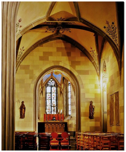
Sankt Michaels-Kapelle - Burg Hohenzollern, Württemberg, Deutschland
albstadt badenwã¼rttemberg deu deutschland onstmettingen geo:lat=4829701491 geo:lon=896268488 geotagged
View towards Geifize and the source of the Schmeicha
winter house castle berg architecture clouds forest germany landscape deutschland march hall europe view hill eu wolken palace german architektur mansion aussicht neogothic manor statelyhome schloss bastion landschaft wald palast märz zámek ausblick burg manorhouse battlements prussia 2014 gothicrevival schwaben hügel badenwürttemberg schwäbisch swabian hechingen hohenzollern badenwuerttemberg swabia neugotik zollern zinnen swabianalps burghohenzollern zimmern bisingen neugotisch friedrichwilhelmiv stüler neogothicstyle höhenburg friedrichauguststüler schwäbischealp swabianjura hohenzollerncastle preusen schlosshohenzollern stueler hilltopcastle houseofhohenzollern gipfelburg hohenzollerndynasty schwäbischerjura wilhelmvonpreusen wilhelmofprussia
Lofty location
albstadt badenwürttemberg deu deutschland onstmettingen geo:lat=4829421402 geo:lon=895537501 geotagged
View towards the Irrenberg and Hundsrücken
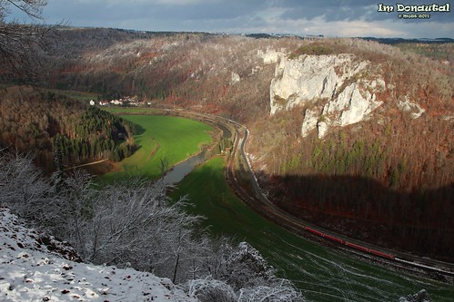
badenwürttemberg beuron deu deutschland thiergarten geo:lat=4808466423 geo:lon=908059984 geotagged
View towards Ruine Unterfalkenstein and Neumühle
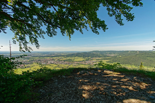
albstadt badenwürttemberg deu deutschland onstmettingen geo:lat=4829781835 geo:lon=896056647 geotagged
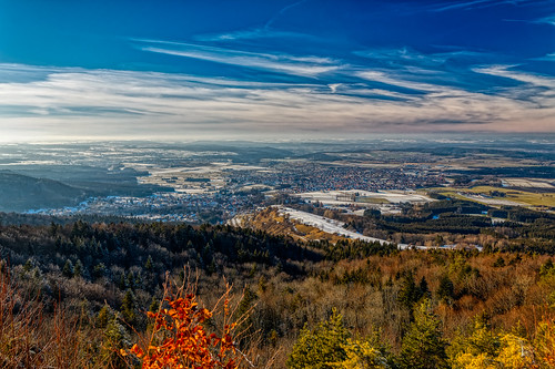
View from the Blasenberg
albstadt badenwürttemberg deu deutschland onstmettingen geo:lat=4830062368 geo:lon=897409375 geotagged
View towards Burg Hohenzollern
albstadt badenwürttemberg deu deutschland onstmettingen geo:lat=4829781835 geo:lon=896056647 geotagged
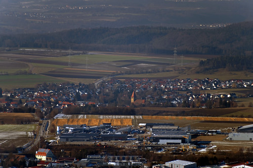
View towards Grosselfingen
albstadt badenwürttemberg deu deutschland onstmettingen geo:lat=4829781835 geo:lon=896056647 geotagged
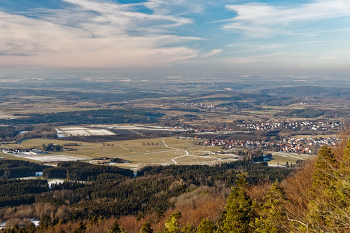
View from the Blasenberg
albstadt badenwürttemberg deu deutschland onstmettingen geo:lat=4829781835 geo:lon=896056647 geotagged
View from the Blasenberg
badenwürttemberg deu deutschland geo:lat=4807682809 geo:lon=903877750 geotagged hausenimtal leibertingen
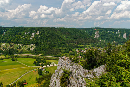
View from the St. Anna Fels towards Hausen im Tal
animal favoriten flickr bestof photos selection fotos auswahl beste damncool selektion hofgut domäne lieblingsbilder eagle1effi steichelzoo byeagle1effi ae1fave yourbestoftoday canonsx1is tagesbeste
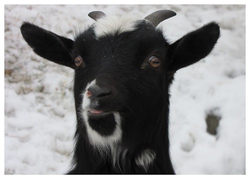
Böcklein
deutschland bisingen badenwürrtemberg burghohenzollern panorama pano sonnenuntergang burg geschichte historisch berg ländle süddeutschland königshaus hohenzollern europa wahrzeichen sehenswürdigkeit zimmern zellerhorn gipfelburg gebäude zollerberg zollernalb denkmal horizont landschaft onstmettingen tag himmel blau
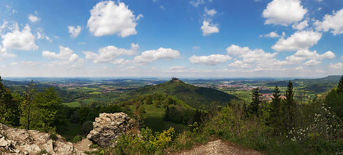
Baden-Württemberg - Burg Hohenzollern Panorama
badenwürttemberg bisingen deu deutschland geo:lat=4828035487 geo:lon=892882168 geotagged streichen
DSC04679_DxO-Pano-122
canonpowershotsx1is eagle1effi exact hybrid geomapped damncool masterclass 500m 20xzoom hohenzollern zollernburg prussian preusen preussen sx1isbest sx1fave canonpowershotsx1isreferenceshot myfave yourbestoftoday sx1best canonsx1ispowershot canonsx1is powershot landscape landscapes landschaft bridgecamera zoller castle architektur architecture landschaften paysage paysages sx1 canon burghohenzollern zimmern bisingen germany badenwürttemberg lumix schwäbischealb über100malgesehen views100 tubingue flickr universität university building bestof reference handselected
castle Hohenzollern Burg ~ 25 km away // ~ 15.5342798 miles ~ château de Hohenzollern, as the crow flies
... gugg i romm
geo:lat=4830977257 geo:lon=899278633 geotagged
DSC01804_DxO-22
geo:lat=4830528575 geo:lon=899339050 geotagged
DSC01667_DxO-2
geo:lat=4822237730 geo:lon=887863085 geotagged
DSC02124_DxO-64
landscape deutschland landschaft badenwürttemberg burghohenzollern albstadt goldenestunde zellerhorn
Burg Hohenzollern
geo:lat=4809035468 geo:lon=903669611 geotagged
DSC00917_DxO-Pano-55
geo:lat=4808955920 geo:lon=903456777 geotagged
DSC00898_DxO-Pano-41