Elevation of Max-Eyth-Straße 40, Meßstetten, Germany
Location: Germany > Baden-württemberg > Tübingen > Meßstetten >
Longitude: 8.97461
Latitude: 48.19264
Elevation: 911m / 2989feet
Barometric Pressure: 91KPa
Elevation Map:
Satellite Map:
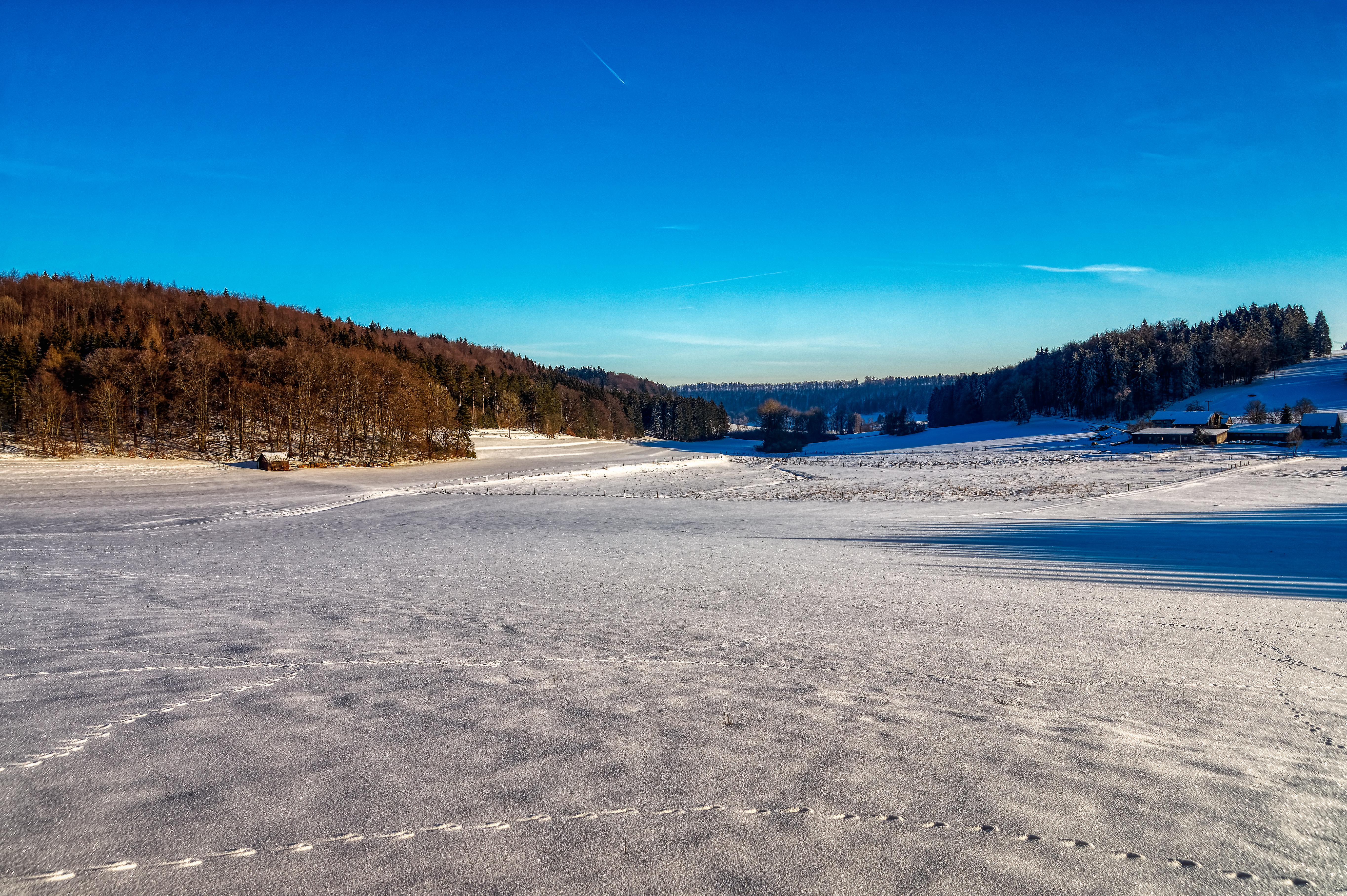
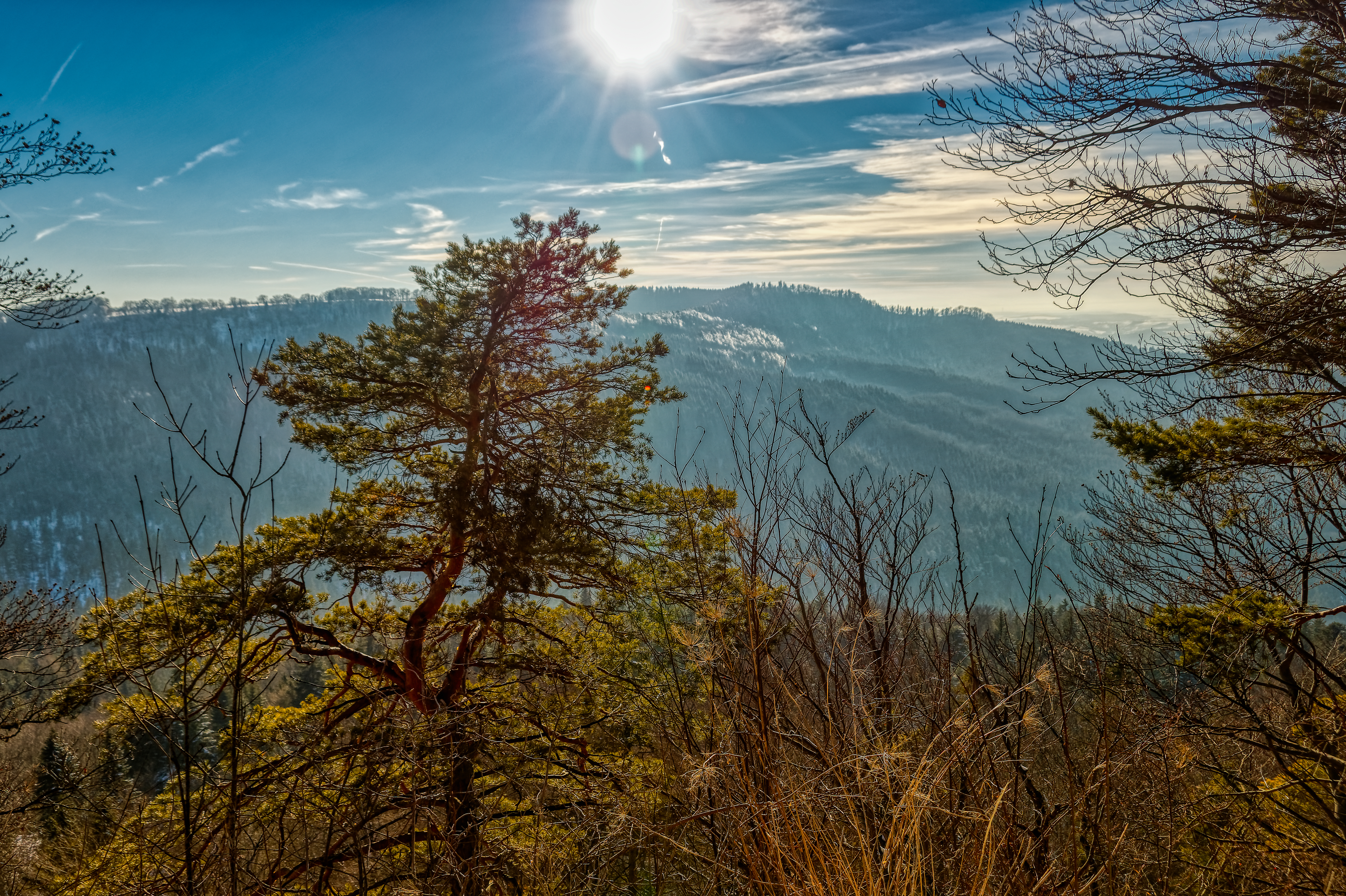
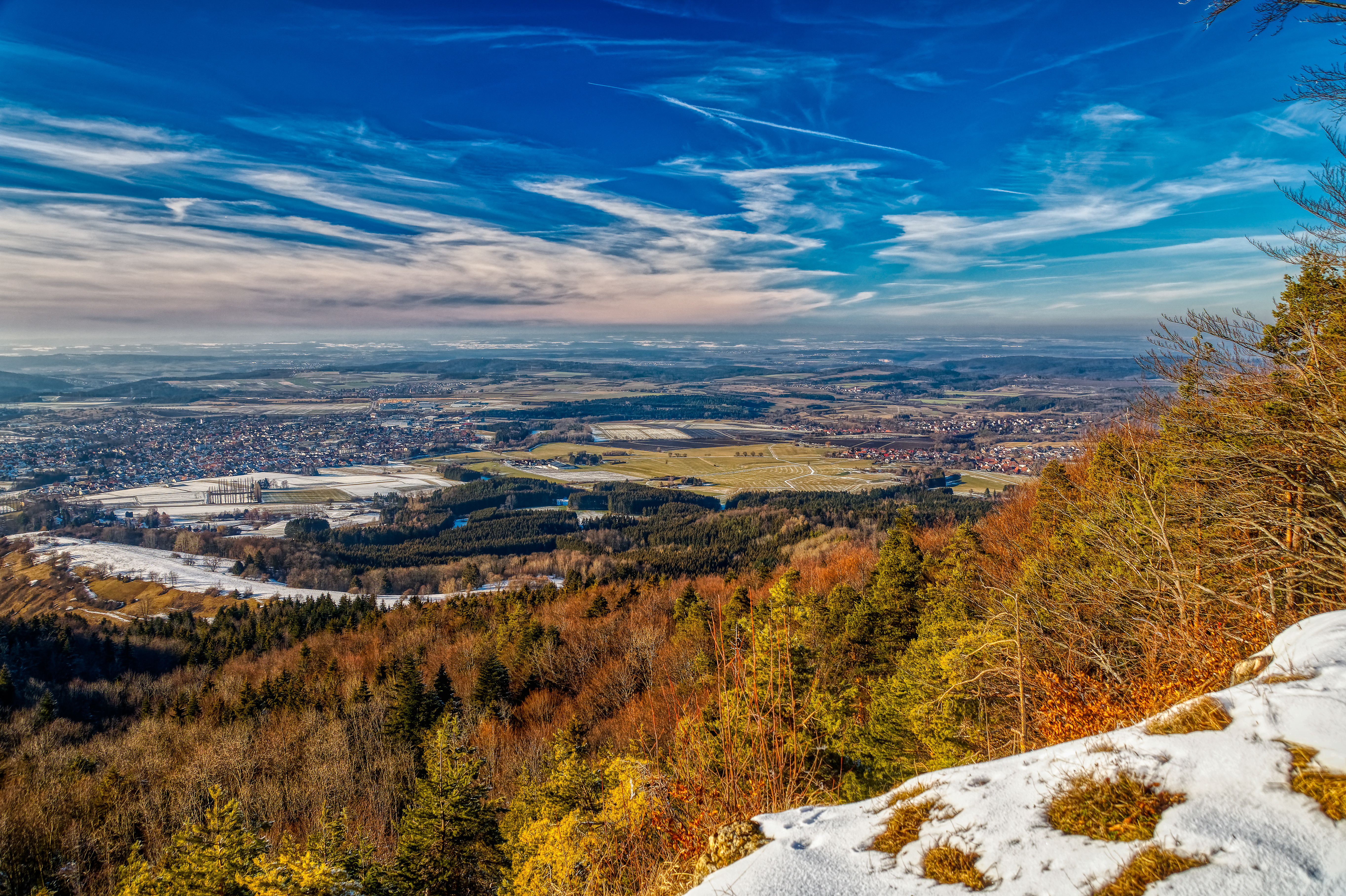
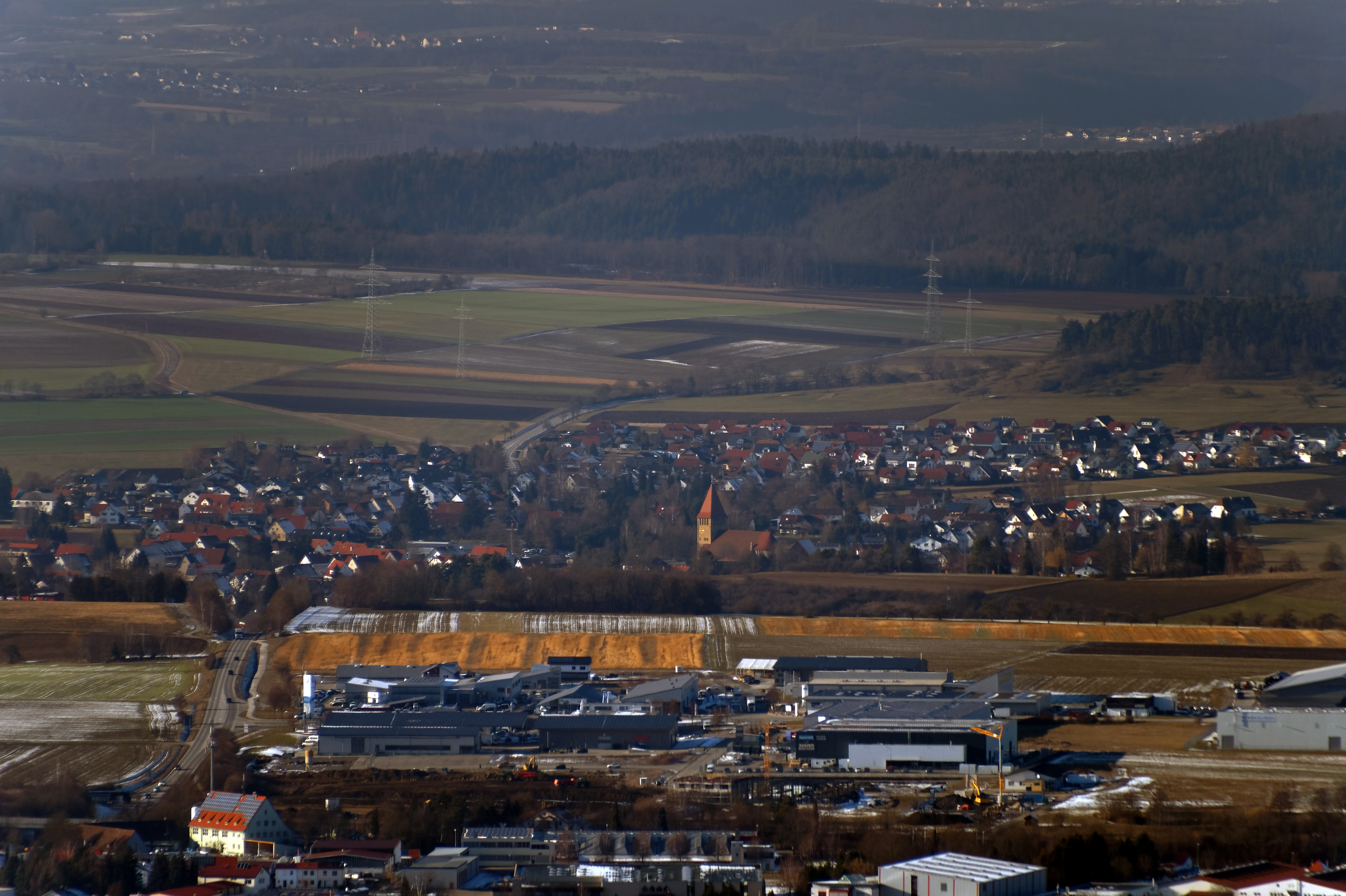
Related Photos:
View towards Burg Hohenzollern
View towards Burg Hohenzollern
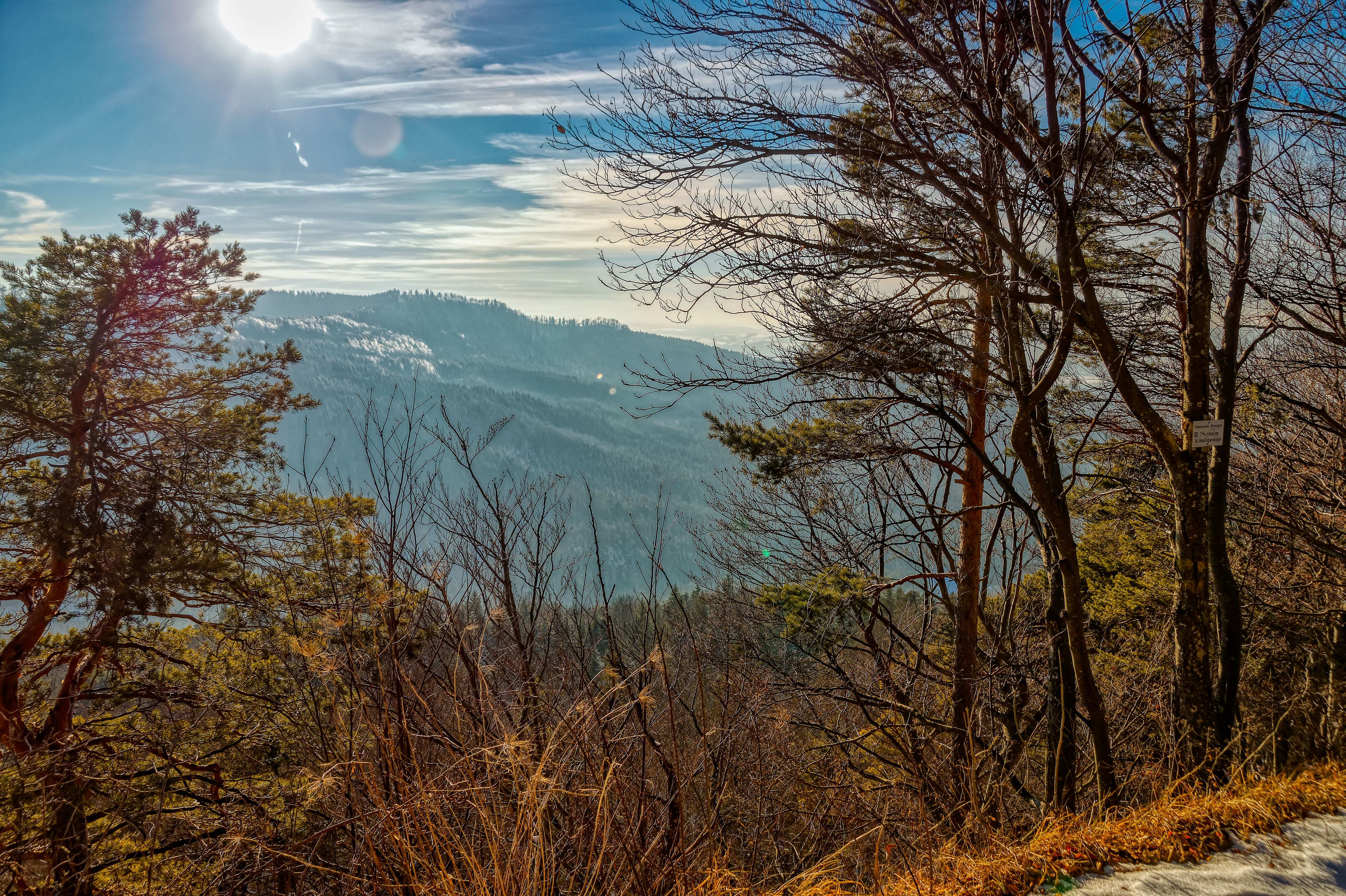
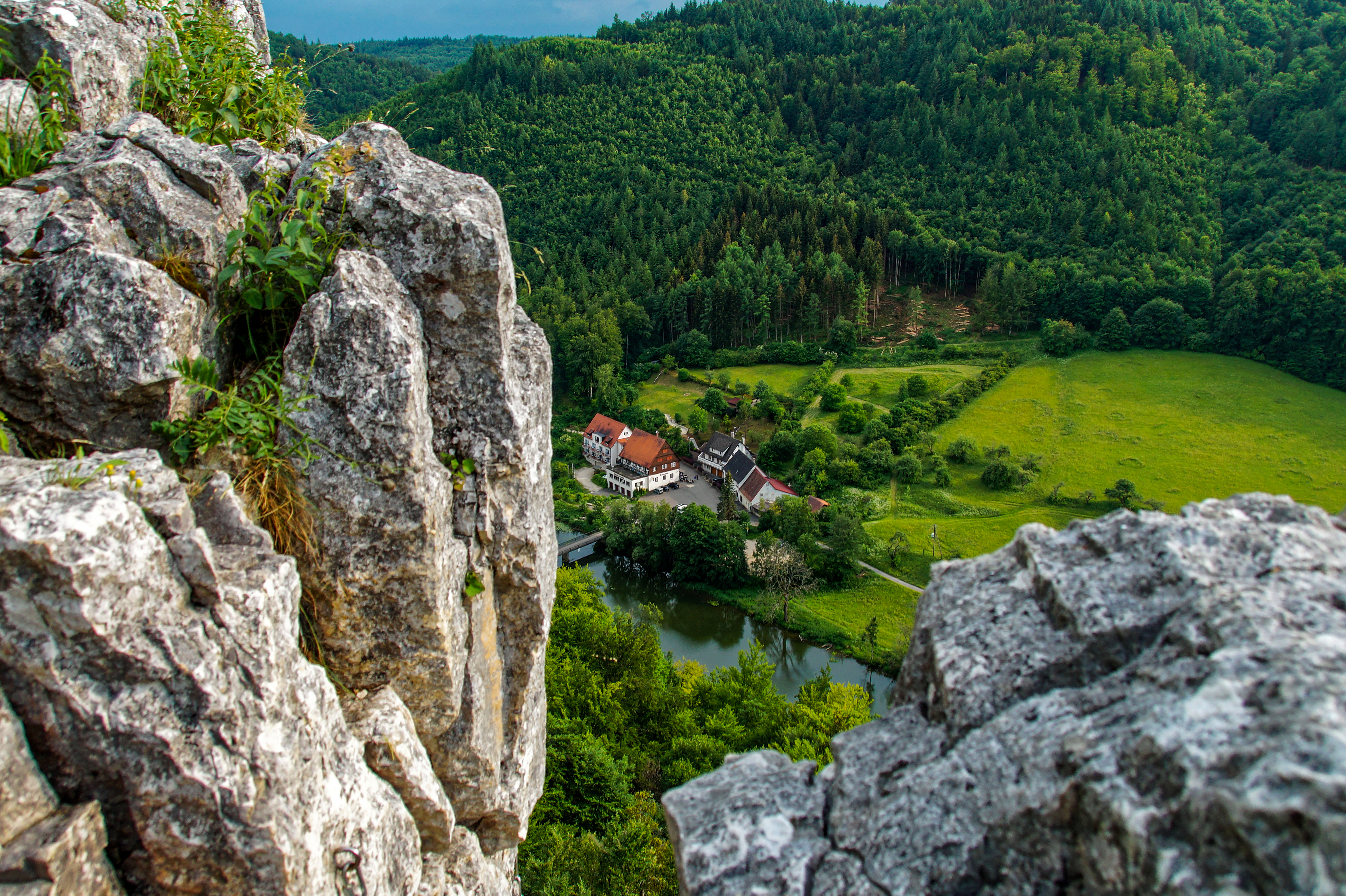
View from the Blasenberg
View towards Burg Hohenzollern
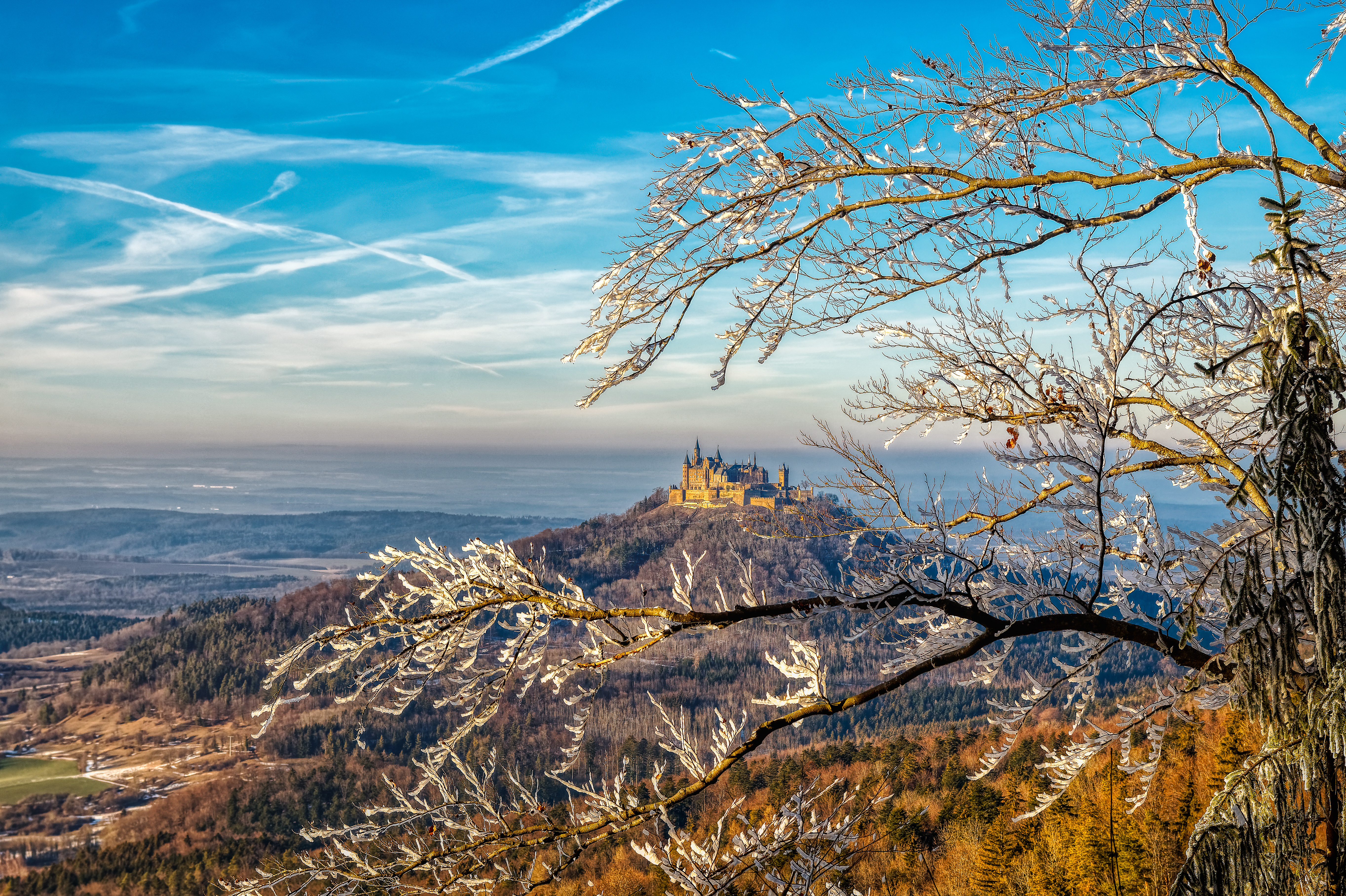
View towards Burg Hohenzollern
View towards the Irrenberg and Hundsrücken
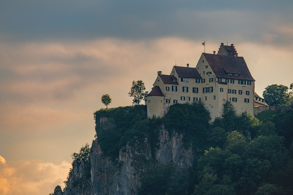
Schloß Werenwag
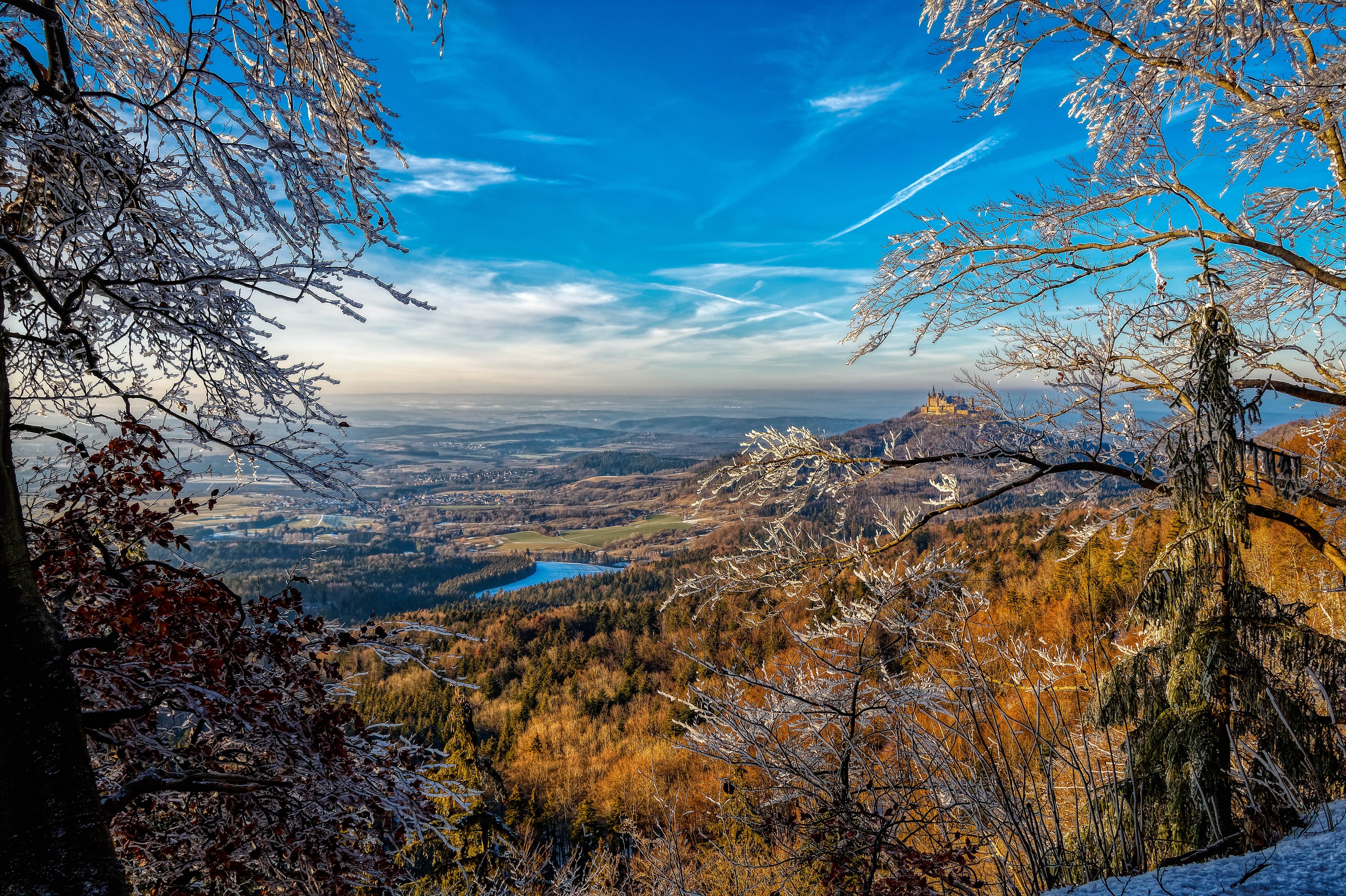
View towards Burg Hohenzollern
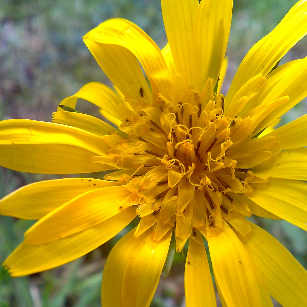
Yellow Flower - cell-phone photo - Wiesen-Bocksbart, Tragopogon pratensis,
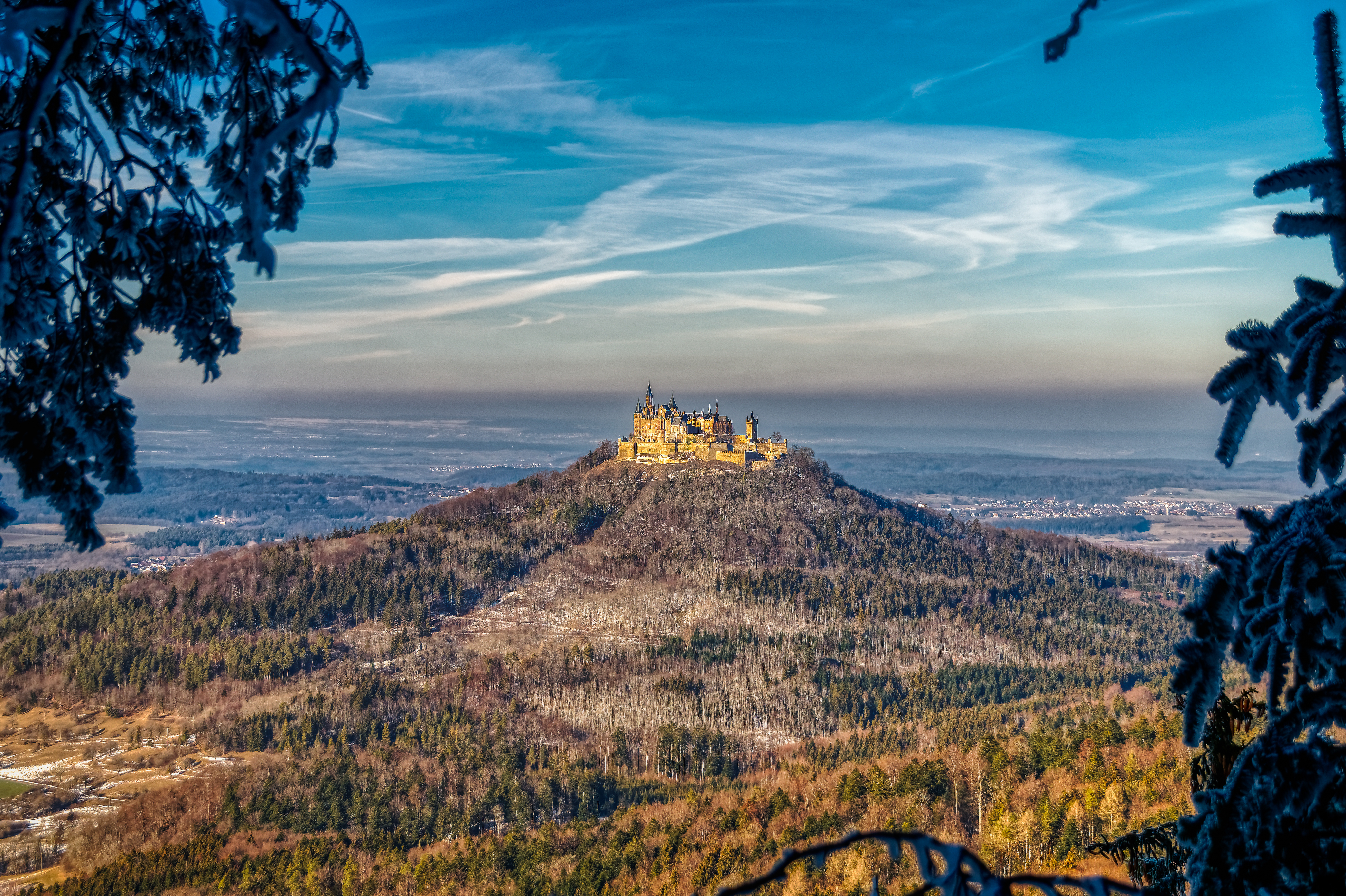
View towards Burg Hohenzollern
View towards Neumühle
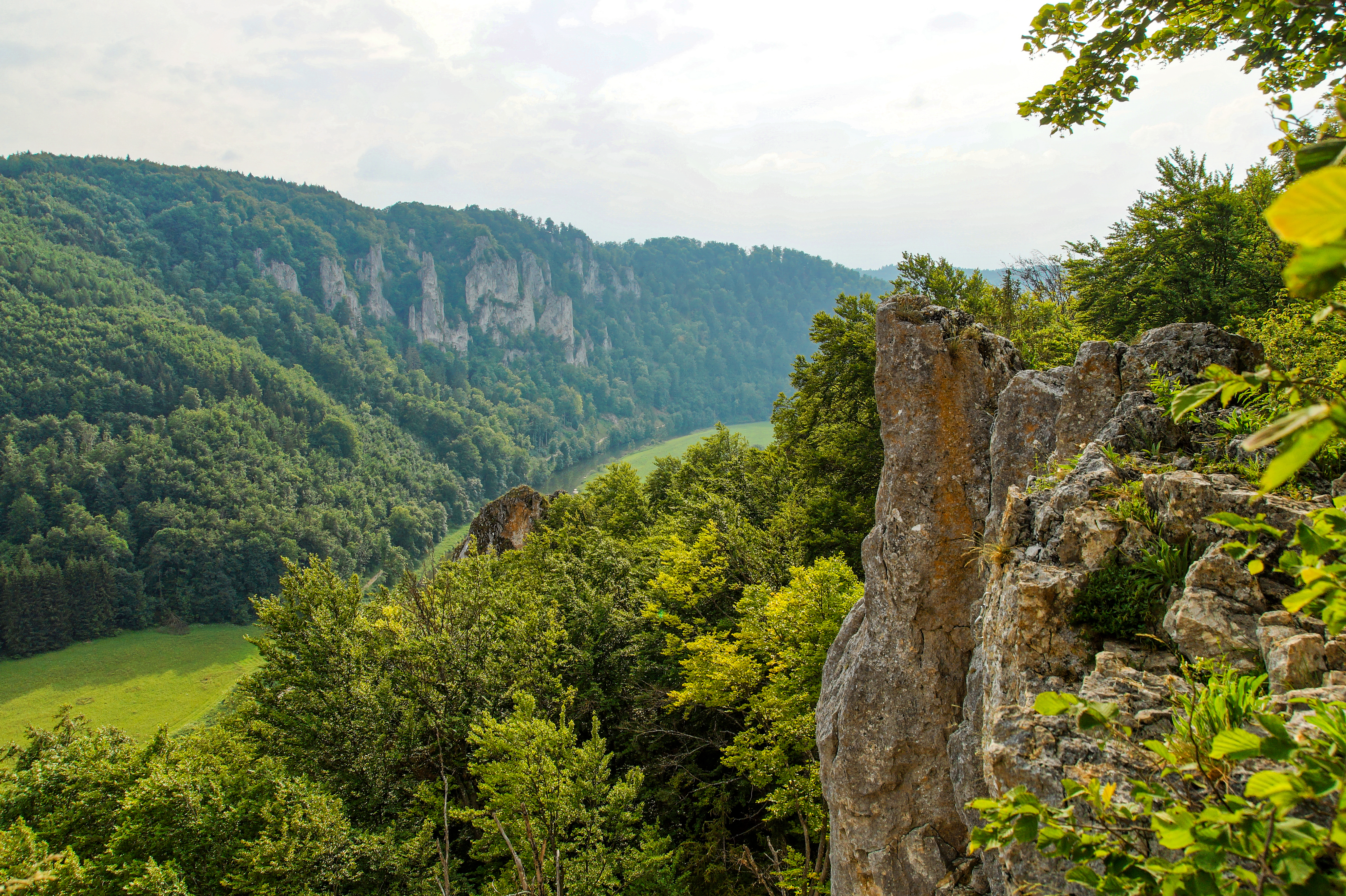
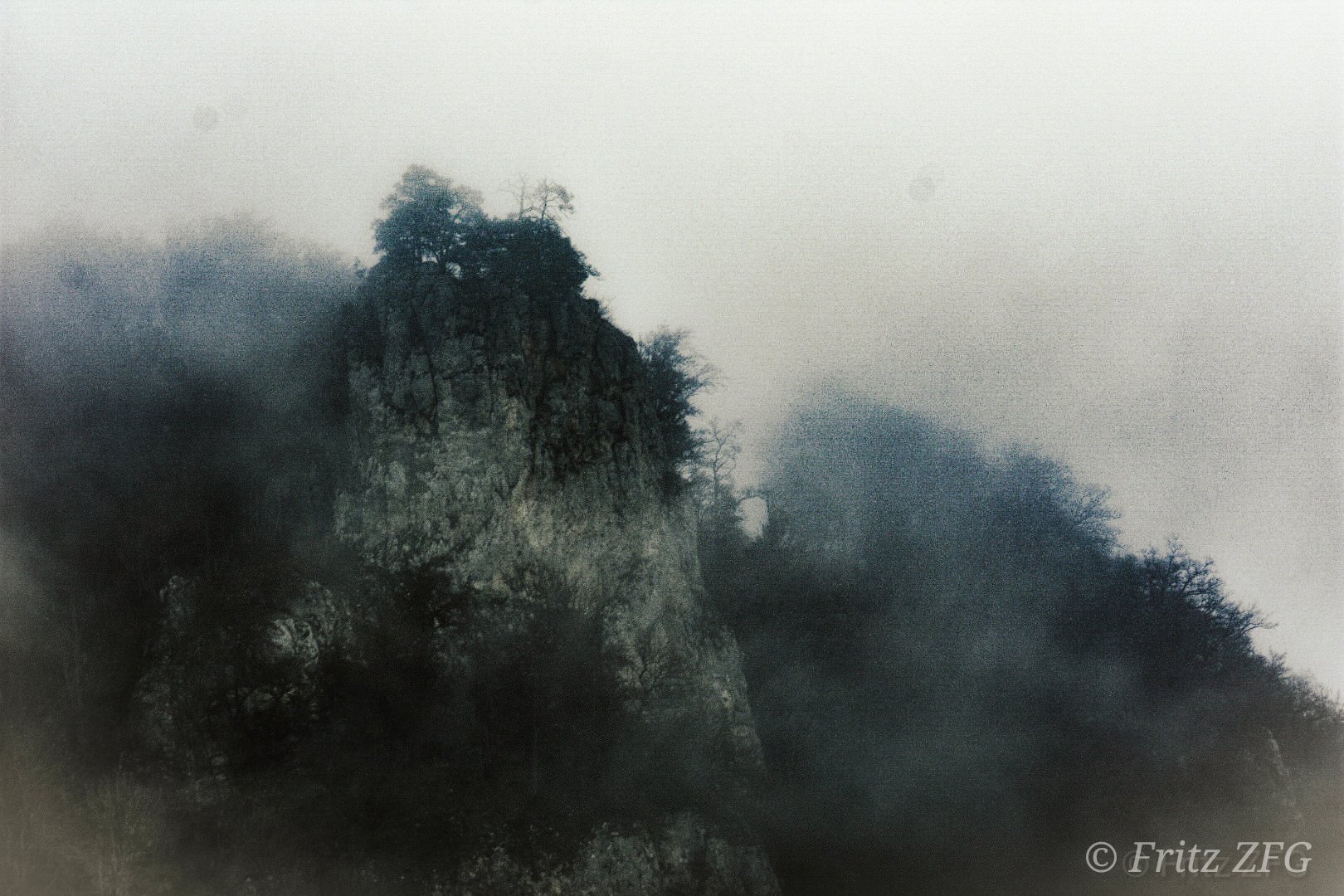
View towards the Lenzenfelsen

Sankt Michaels-Kapelle - Burg Hohenzollern, Württemberg, Deutschland. On Explore, - 2013-03-01 - #405
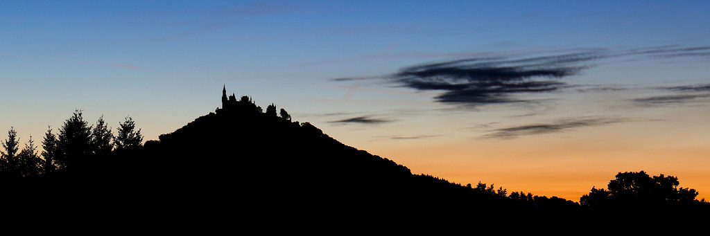
Kasteel in silhouet
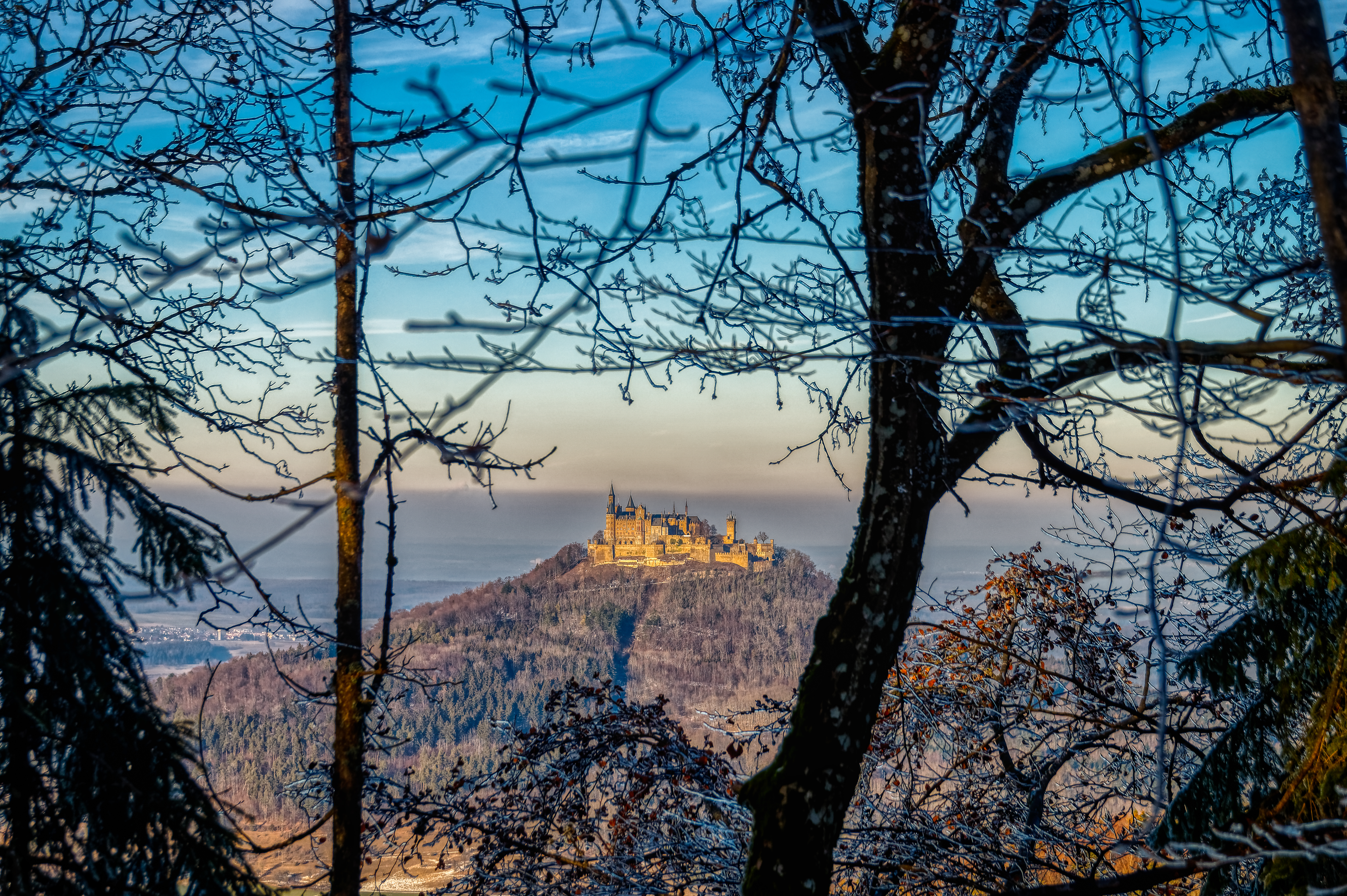
View towards Burg Hohenzollern
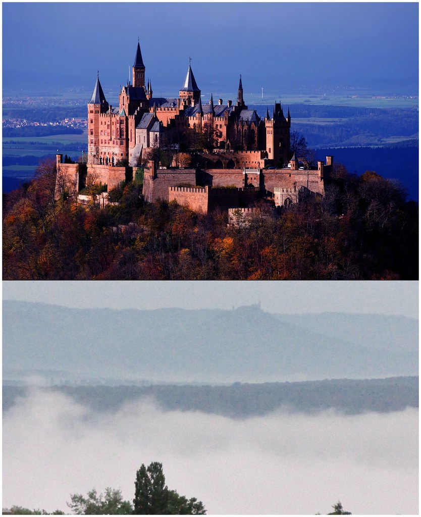
Der "Zoller" , castle `Burg Hohenzollern` - close in the evening and fog and distance at 5.30 a.m.
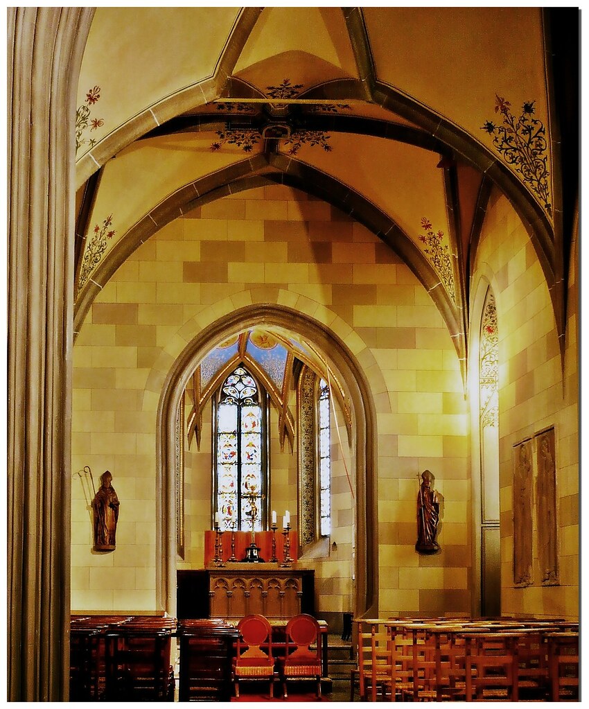
Sankt Michaels-Kapelle - Burg Hohenzollern, Württemberg, Deutschland
View towards Geifize and the source of the Schmeicha
View towards the Irrenberg and Hundsrücken
View from the Blasenberg
View towards Grosselfingen
... gugg i romm
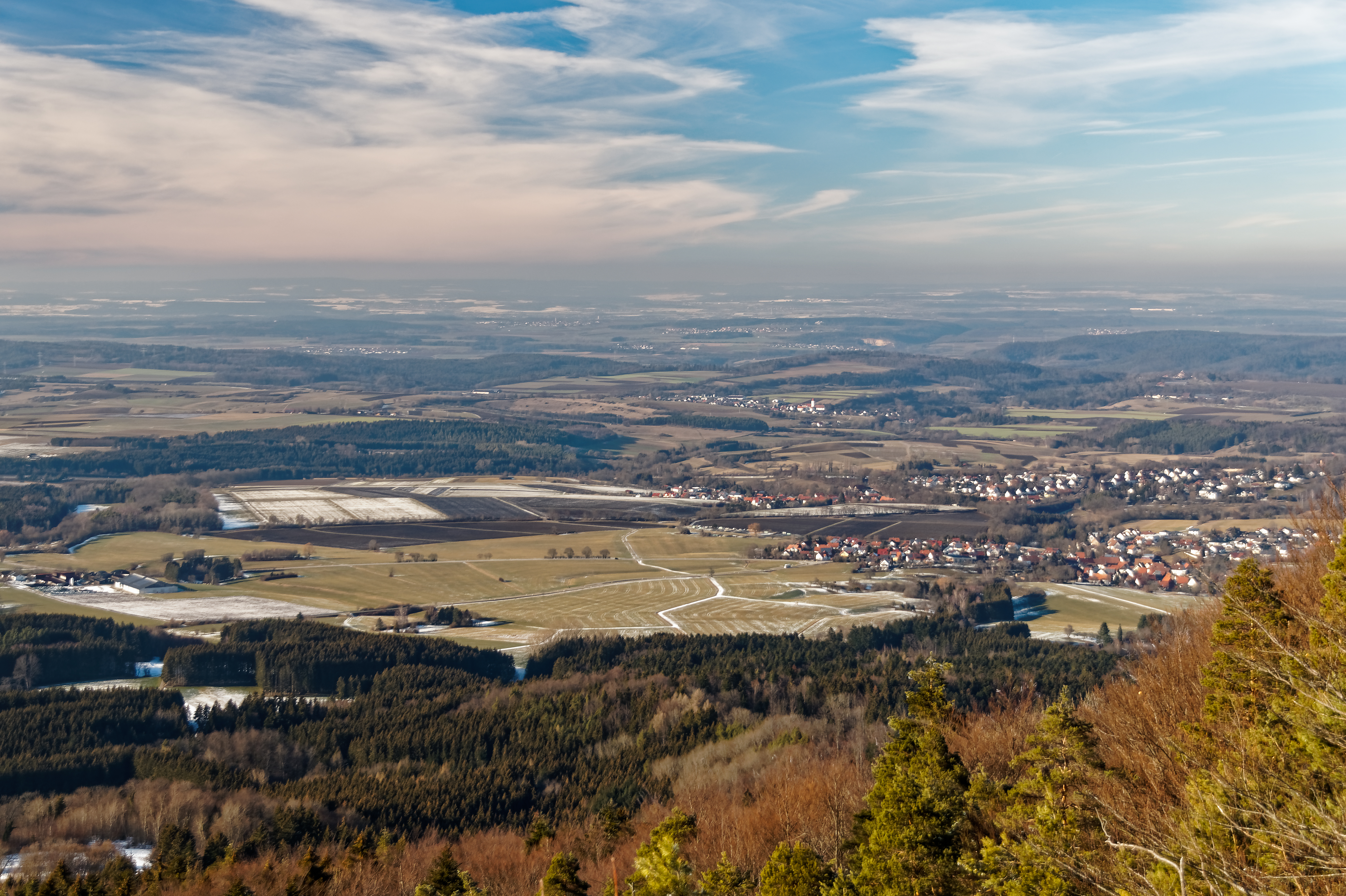
View from the Blasenberg
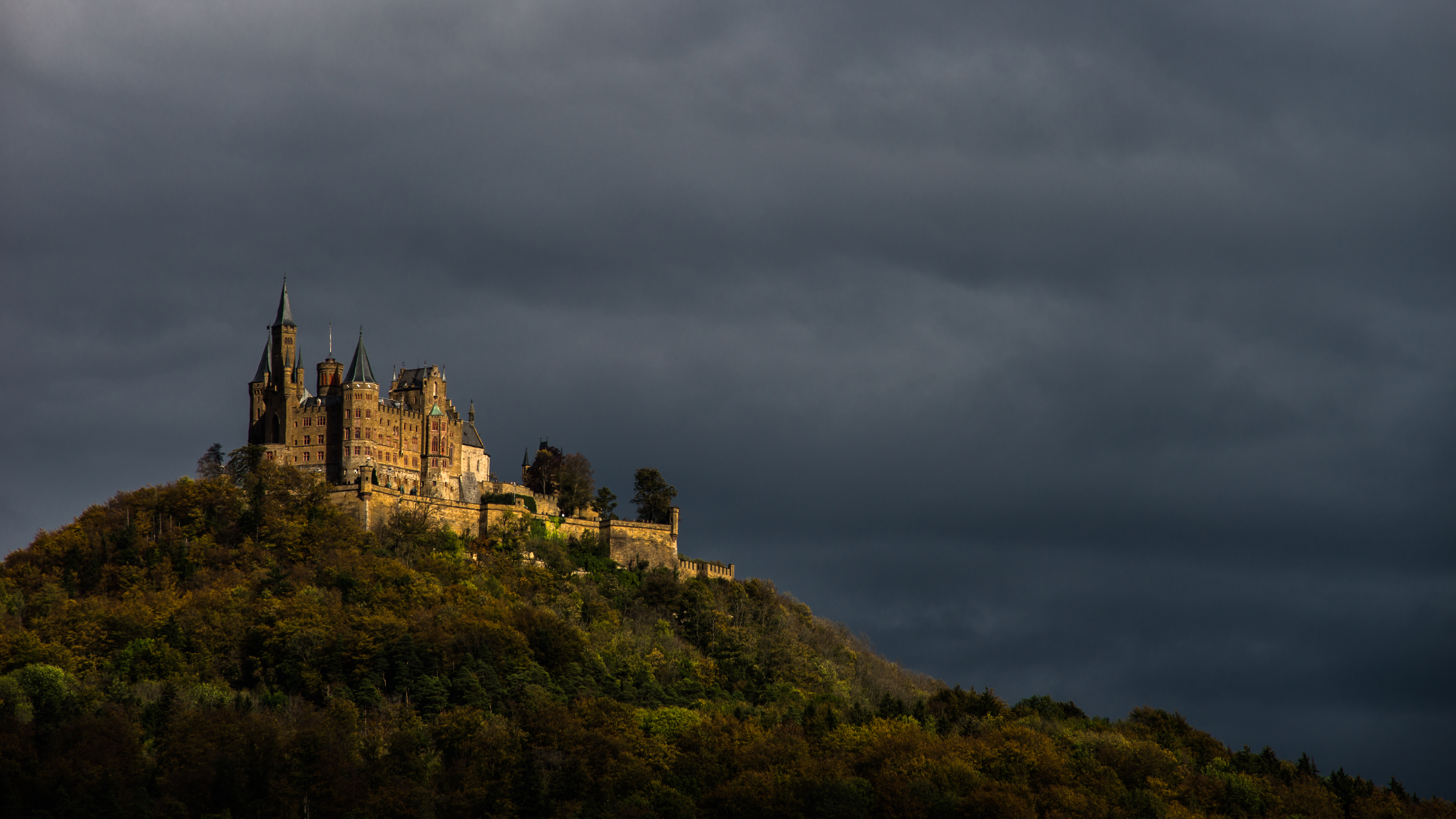
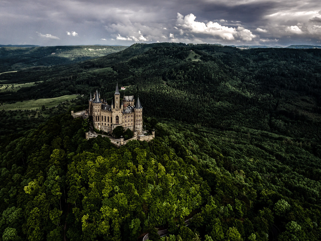
Burg Hohenzollern
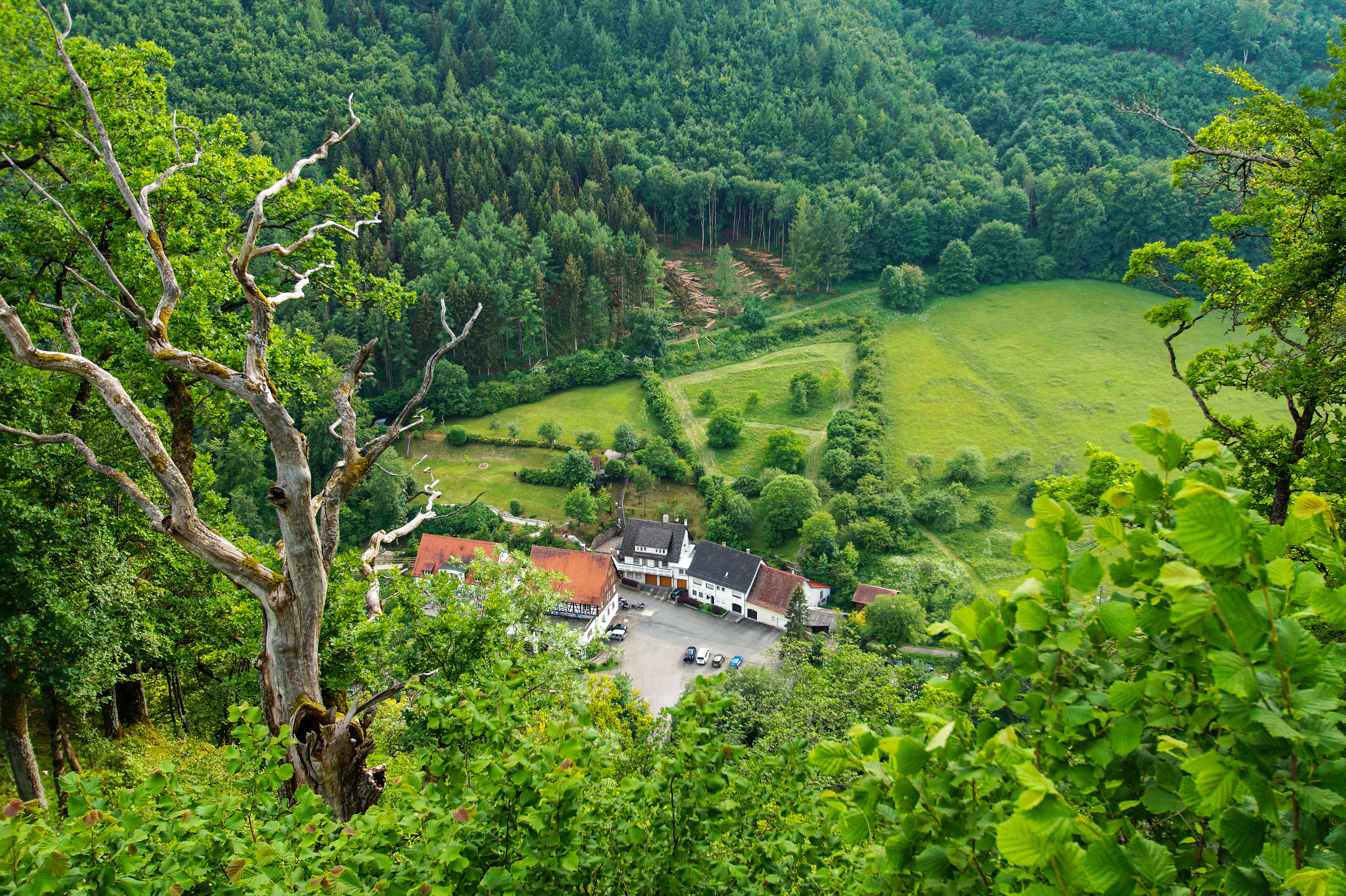
Neumühle
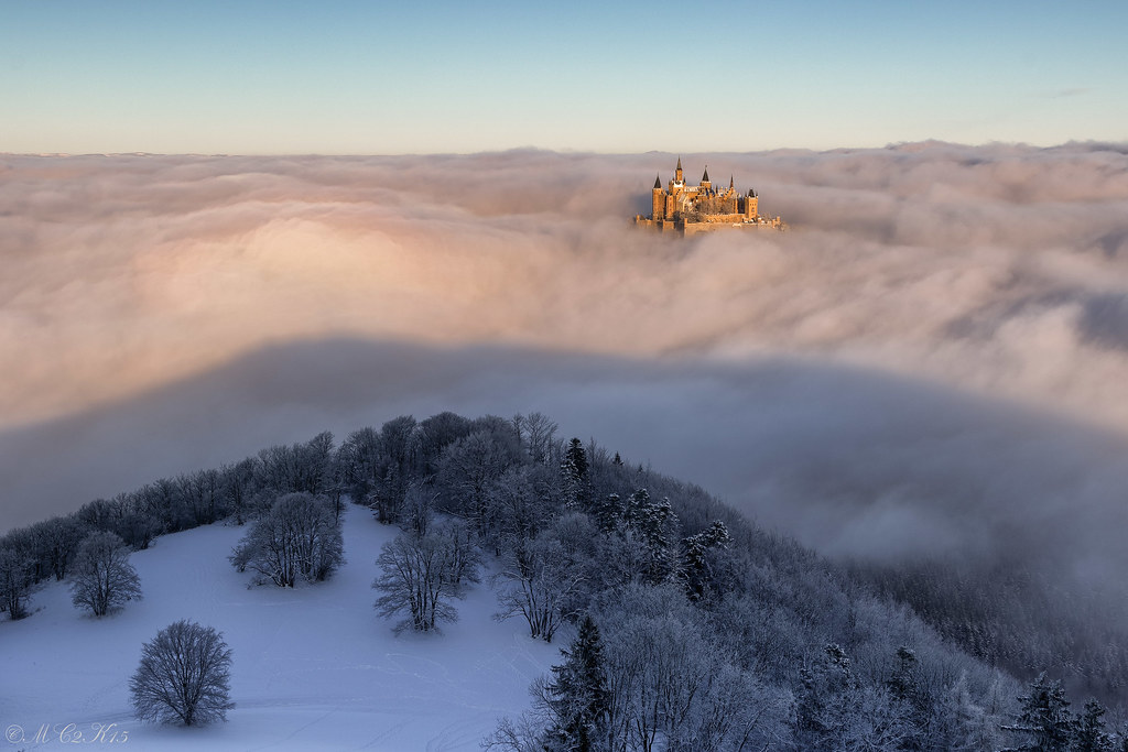
Castle in the clouds
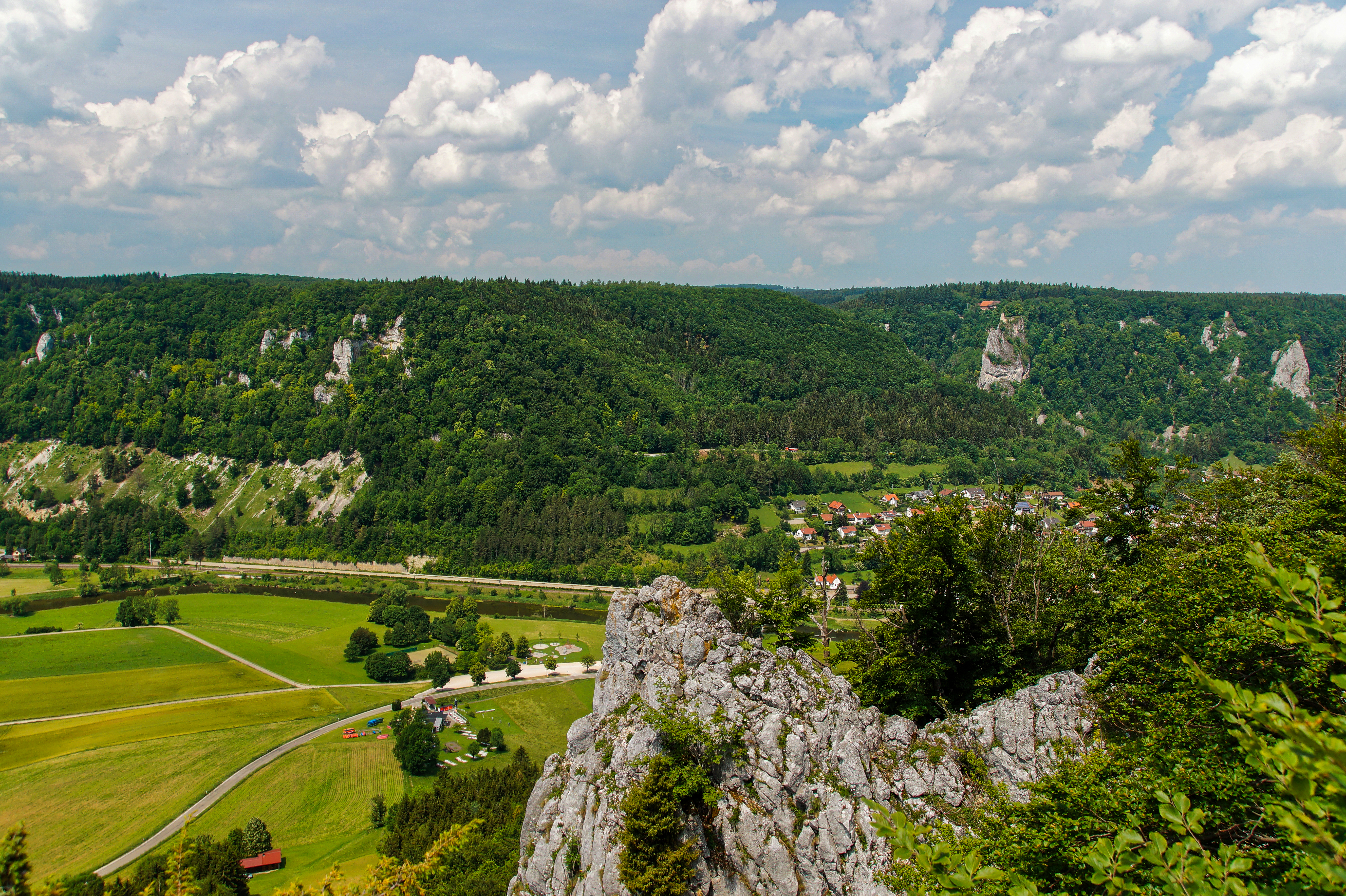
View from the St. Anna Fels towards Hausen im Tal
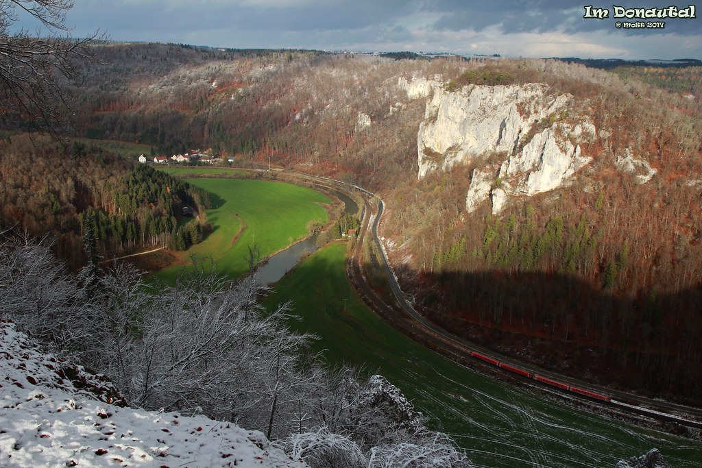
Fog in the Danube valley
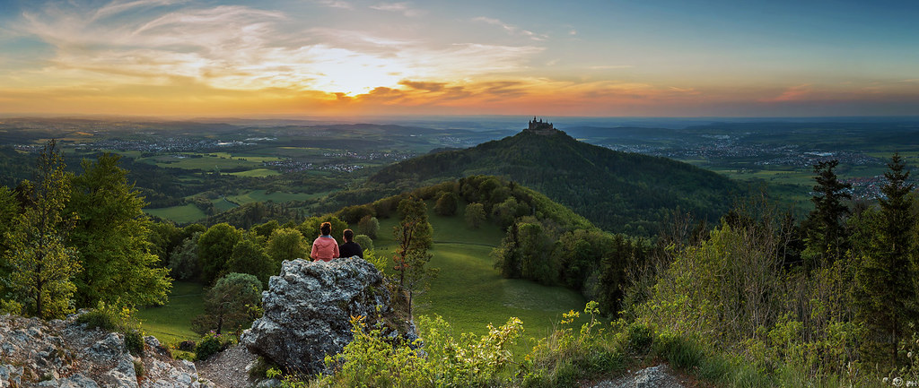
Last shade of the sun (Burg Hohenzollern Panorama)
Castle on a Mountain
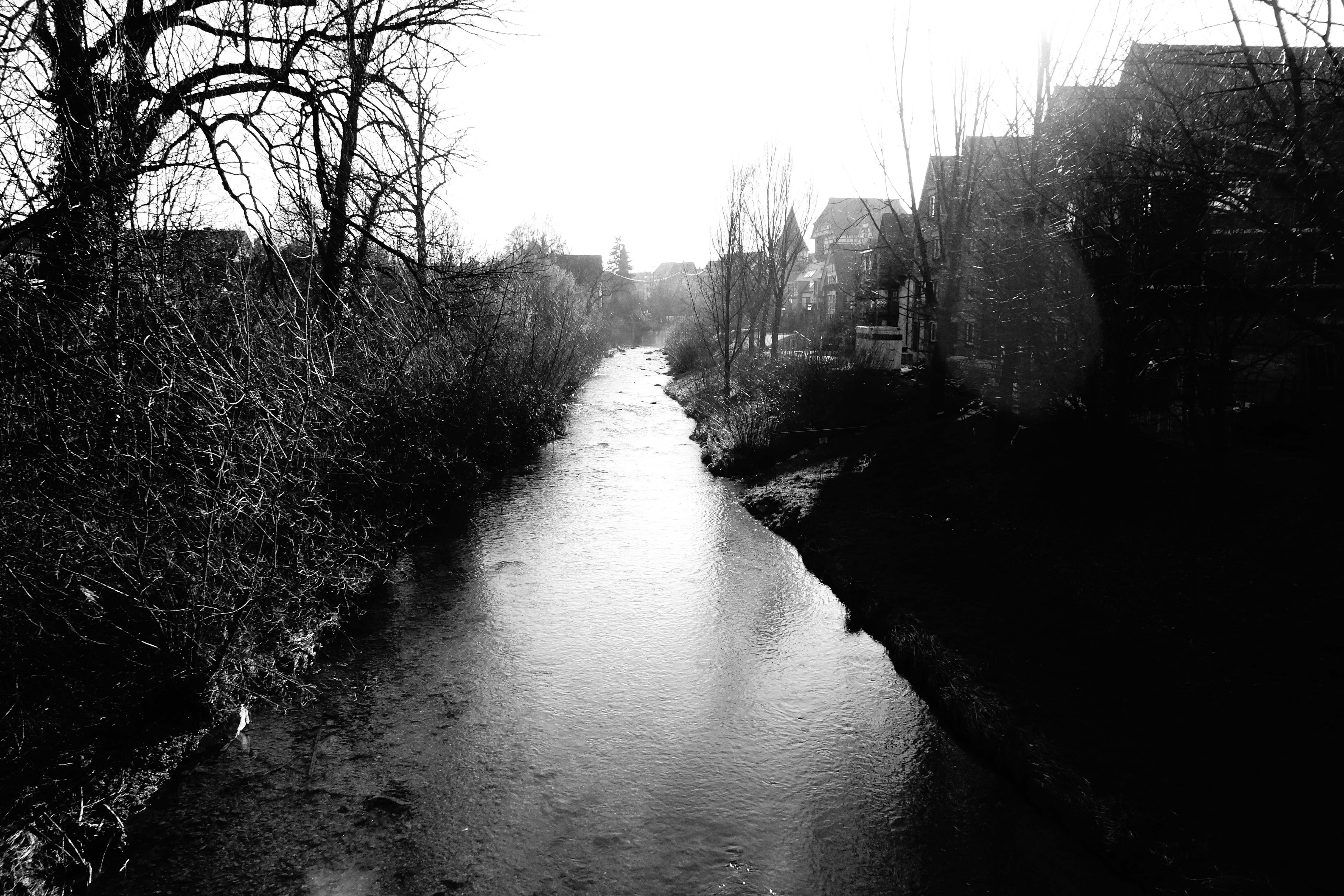
Shining creek

Burg Hohenzollern
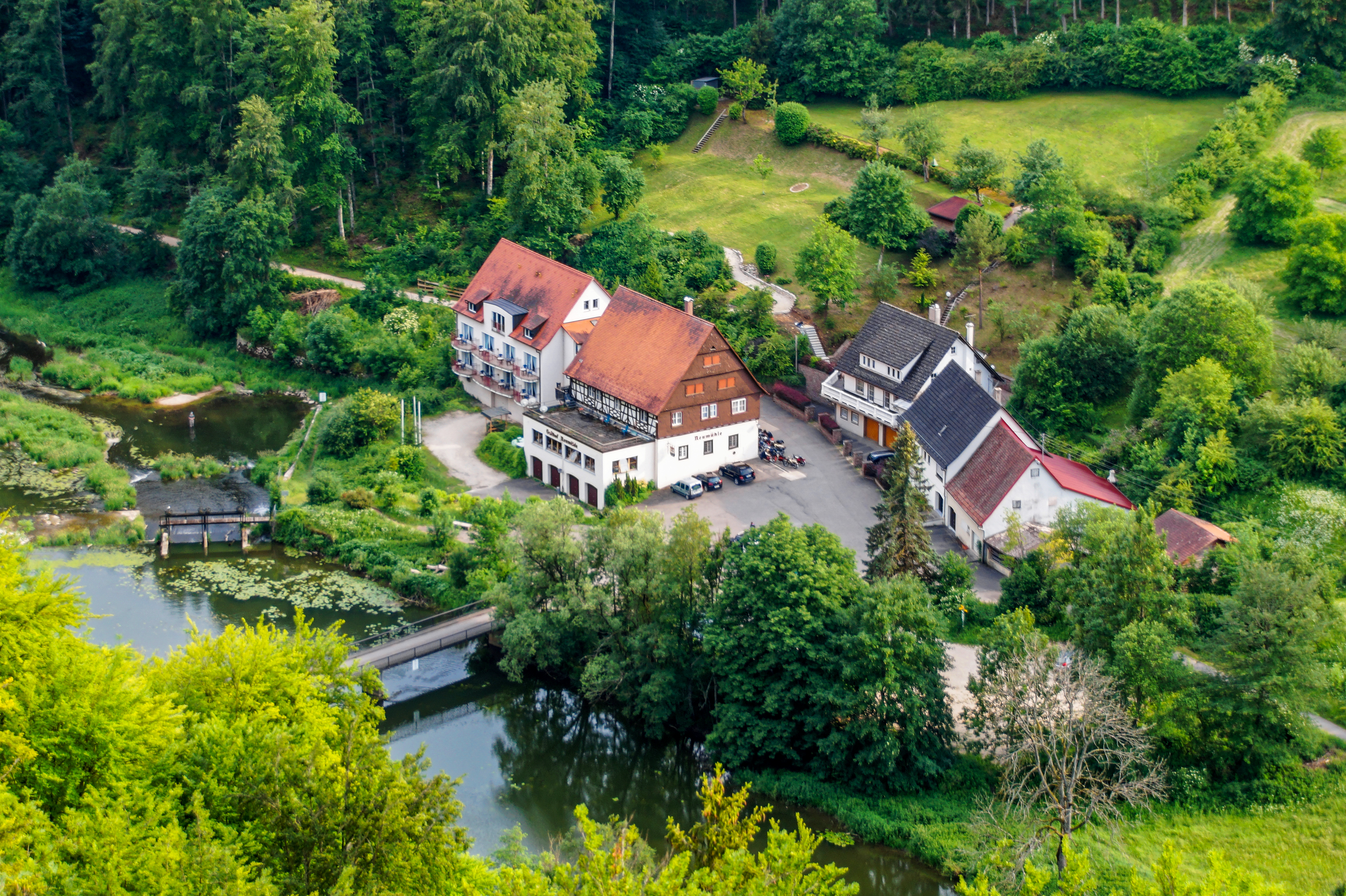
Neumühle
Topographic Map of Max-Eyth-Straße 40, Meßstetten, Germany
Find elevation by address:

Places near Max-Eyth-Straße 40, Meßstetten, Germany:
Max-eyth-straße 42
Max-eyth-straße 38
Meßstetten
Friedrichstraße 39
Albstadt
Ebingen
Hauptstraße 71, Albstadt, Germany
Onstmettingen
Oberdigisheim
Neue Str. 13, Meßstetten, Germany
Geyerbad 15, Meßstetten, Germany
Zellerhornstraße 42
Zollernalbkreis
Am Zollerberg 4, Bisingen, Germany
Bisingen
Charlottenstraße 14, Balingen, Germany
Bundesstraße 28, Burladingen, Germany
Balingen
Killer
Holderweg 1
Recent Searches:
- Elevation of Corso Fratelli Cairoli, 35, Macerata MC, Italy
- Elevation of Tallevast Rd, Sarasota, FL, USA
- Elevation of 4th St E, Sonoma, CA, USA
- Elevation of Black Hollow Rd, Pennsdale, PA, USA
- Elevation of Oakland Ave, Williamsport, PA, USA
- Elevation of Pedrógão Grande, Portugal
- Elevation of Klee Dr, Martinsburg, WV, USA
- Elevation of Via Roma, Pieranica CR, Italy
- Elevation of Tavkvetili Mountain, Georgia
- Elevation of Hartfords Bluff Cir, Mt Pleasant, SC, USA