Elevation of Mansholt Rd, Bunker Hill, IL, USA
Location: United States > Illinois > Macoupin County > Bunker Hill Township > Bunker Hill >
Longitude: -89.939120
Latitude: 39.0564526
Elevation: 199m / 653feet
Barometric Pressure: 99KPa
Elevation Map:
Satellite Map:
Related Photos:
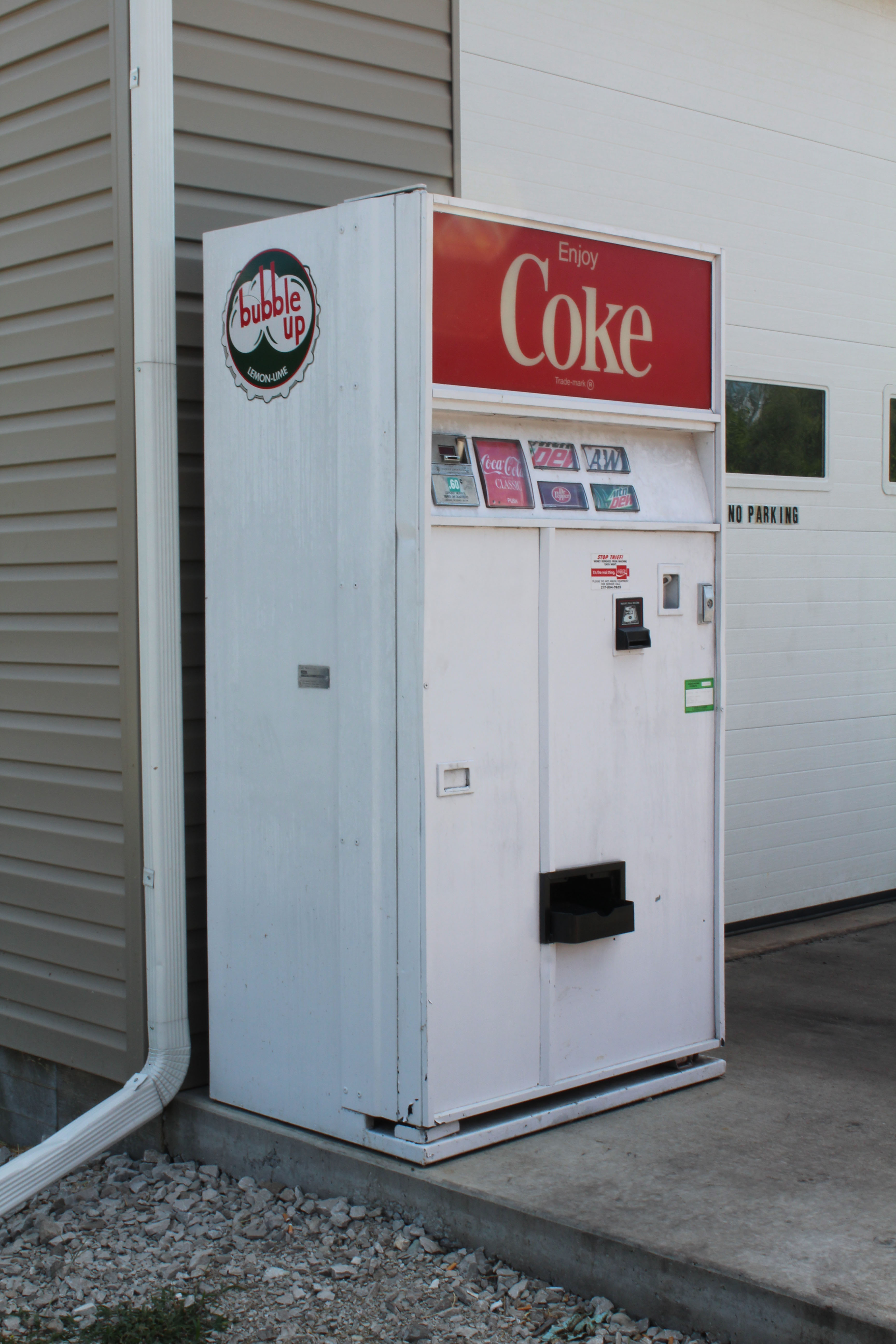
New garage, old soda machine
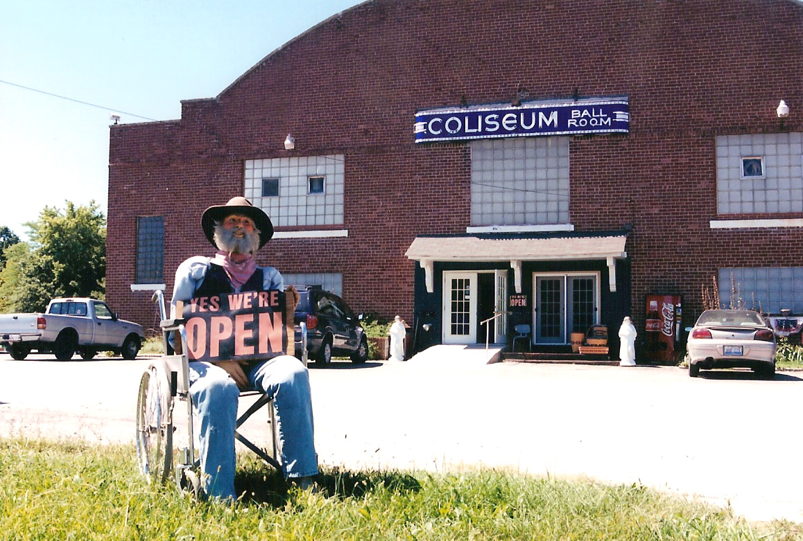
Coliseum greeter
West Face of Absalom and Lucretia Digman's Monument.
Side view
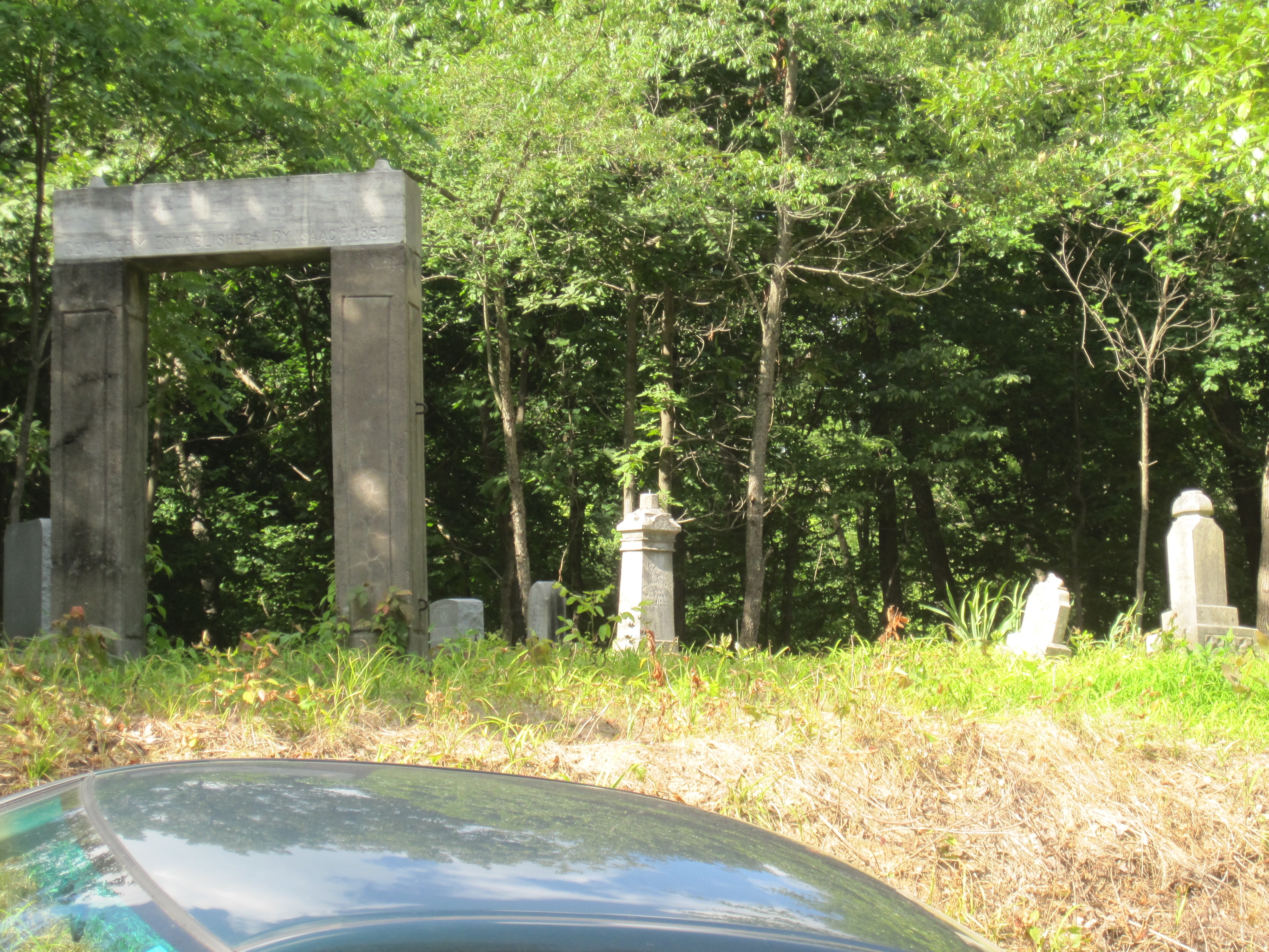
Distance view of Funderburk Cemetery
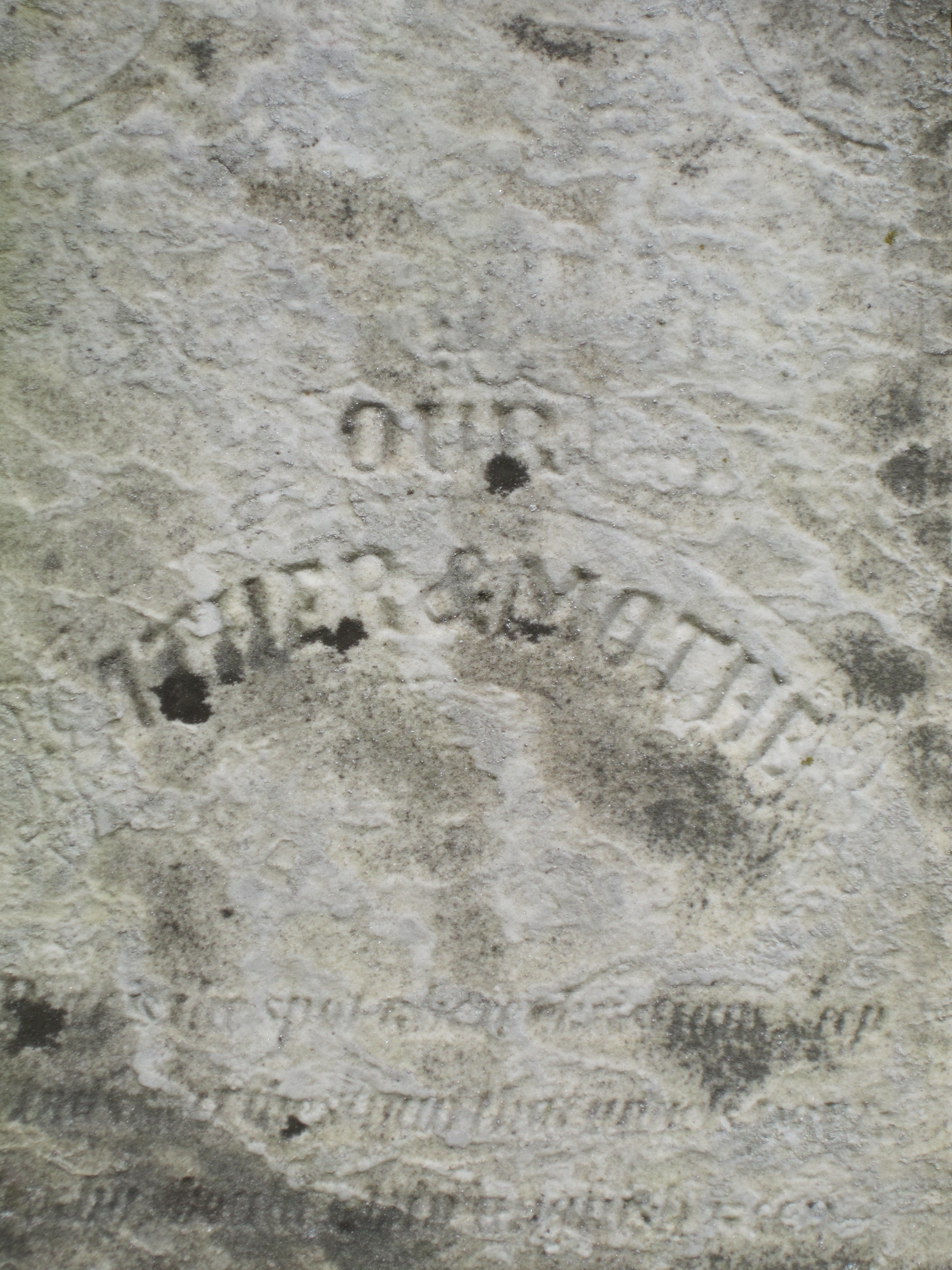
West Face of Absalom and Lucretia Digman's Monument.
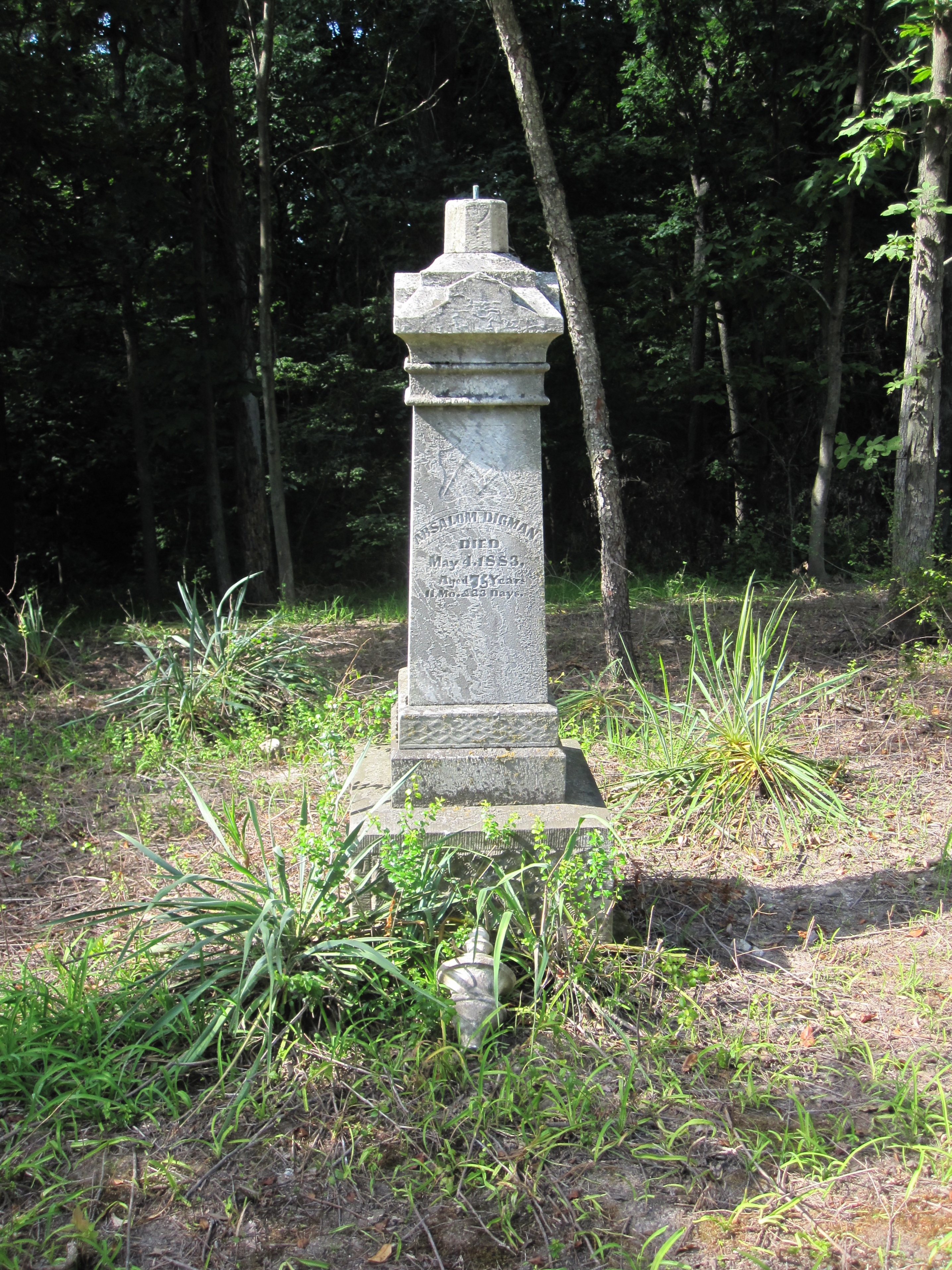
Absalom Digman and Lucretia Digman - braod view
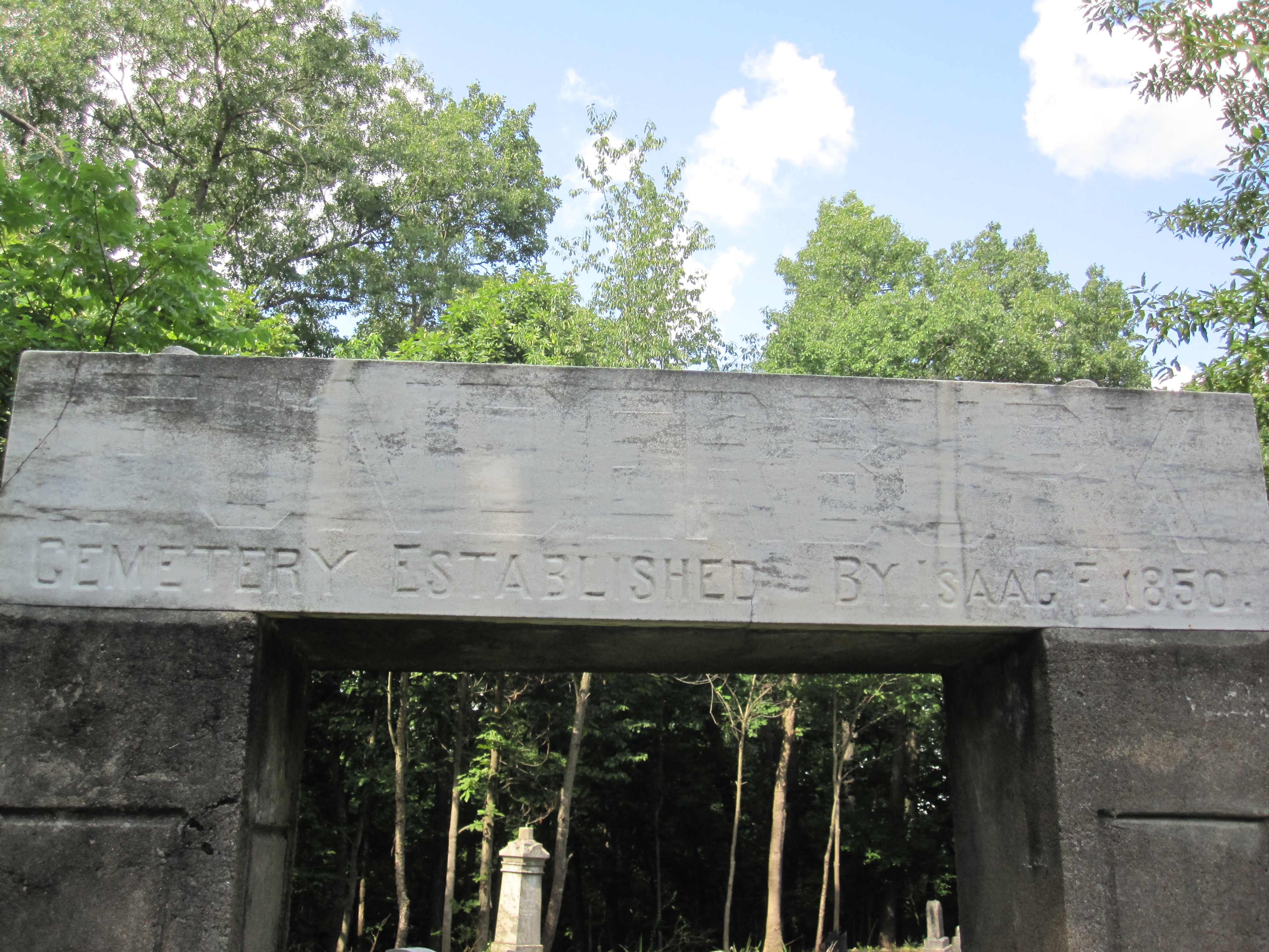
Entrance of Funderburk Cemetery
Entrance of Funderburk Cemetery
IT crosses IT in Worden, IL

Hay Field

Getting ready to do the All Ski... #HolidayShoresSkiClub
Welcome to the Holiday Shores Yacht Club!

THE fosterburg barrel in the distance

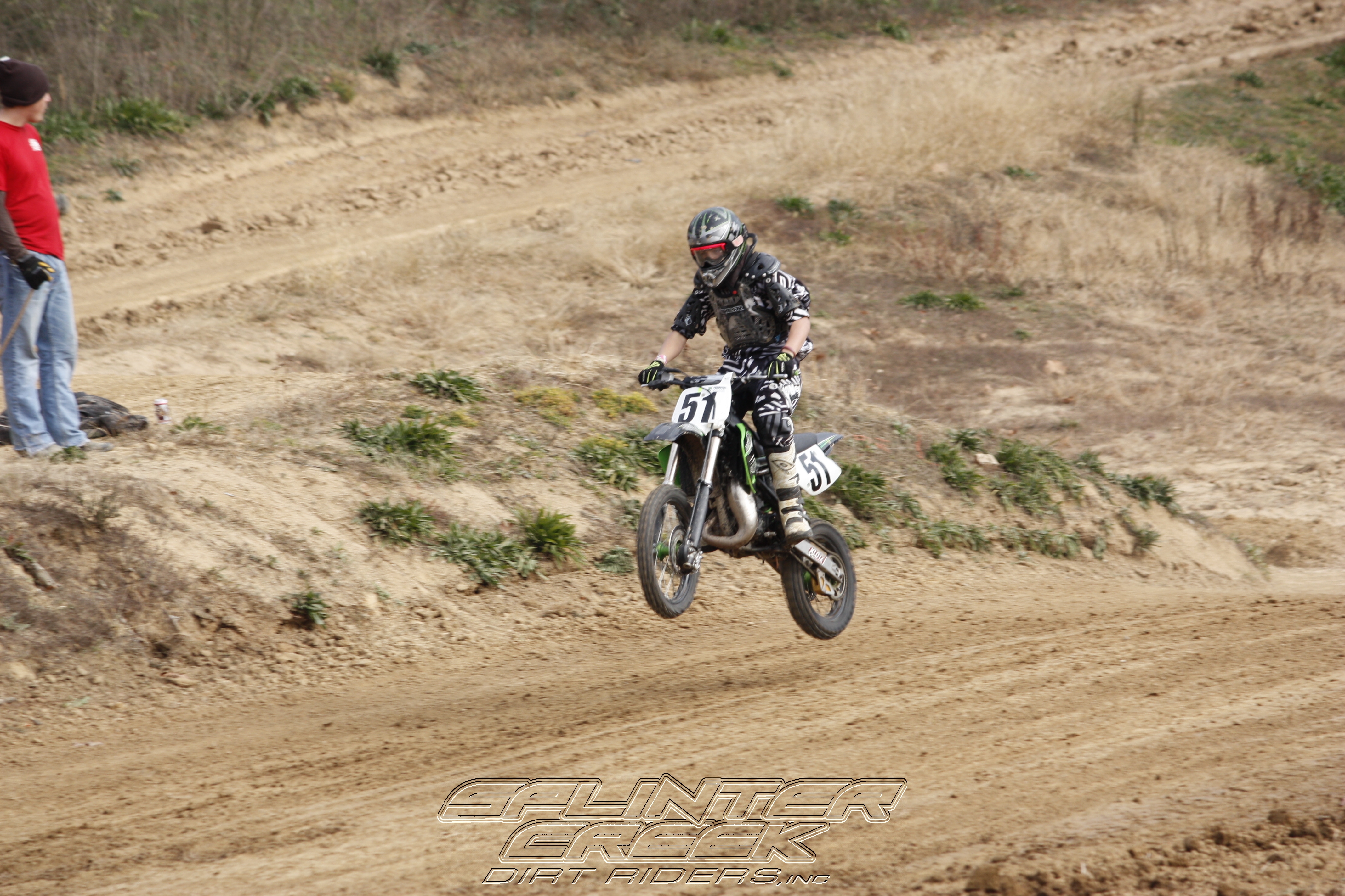
MX Bike 5-19-130482

MX Bike 5-19-130481
the house4

TT 8-3-13-0543
TT 11-4-12-056

the distant lake.
Topographic Map of Mansholt Rd, Bunker Hill, IL, USA
Find elevation by address:

Places near Mansholt Rd, Bunker Hill, IL, USA:
Bunker Hill
Bunker Hill Township
Gillespie Township
Omphghent Township
Berry St, Gillespie, IL, USA
Gillespie
Macoupin St, Gillespie, IL, USA
Madison County
W Main St, Staunton, IL, USA
Staunton
Worden
E Wall St, Worden, IL, USA
N Lincoln St, Mt Olive, IL, USA
Fort Russell Township
Gillespie, IL, USA
Macoupin County
Hamel Township
Mount Olive Township
IL-, Hamel, IL, USA
Livingston
Recent Searches:
- Elevation of Corso Fratelli Cairoli, 35, Macerata MC, Italy
- Elevation of Tallevast Rd, Sarasota, FL, USA
- Elevation of 4th St E, Sonoma, CA, USA
- Elevation of Black Hollow Rd, Pennsdale, PA, USA
- Elevation of Oakland Ave, Williamsport, PA, USA
- Elevation of Pedrógão Grande, Portugal
- Elevation of Klee Dr, Martinsburg, WV, USA
- Elevation of Via Roma, Pieranica CR, Italy
- Elevation of Tavkvetili Mountain, Georgia
- Elevation of Hartfords Bluff Cir, Mt Pleasant, SC, USA