Elevation of Maine & Beckwith Road, ME- & Beckwith Rd, Cornville, ME, USA
Location: United States > Maine > Somerset County > Cornville >
Longitude: -69.698865
Latitude: 44.903748
Elevation: 130m / 427feet
Barometric Pressure: 100KPa
Elevation Map:
Satellite Map:
Related Photos:

Left Side View Cabin #1

Another View of Kitchen Cabin #3

Bridge viewed through Fall Foliage

View from the Front Door Cabin #1

Autumn Sunset - Solon, Maine

Sun sets behind the mountains and we have a long way to drive tonight

beginner's mind: nasturtiums

Maine - Skowhegan

Skowhegan-Buildings 1
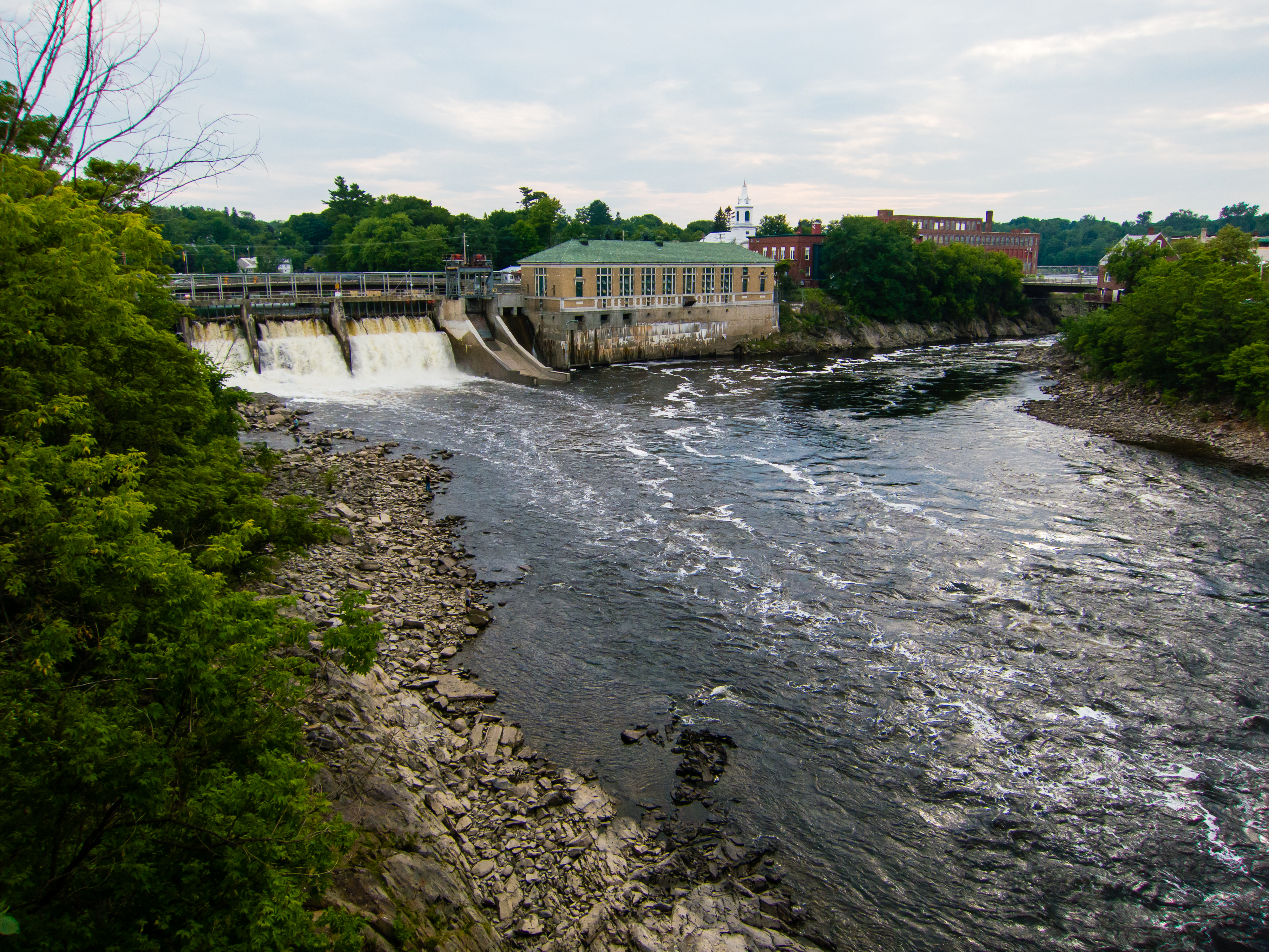
Kennebeck at Skowhegan, Maine

Walking Bridge

A bend in the river
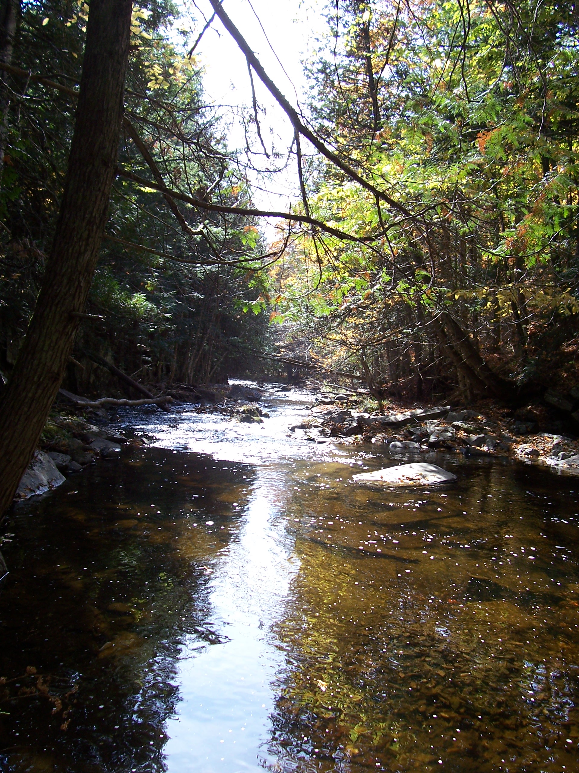
Corson Stream 6

2012-07-31 14.11.24

Long driveway

Robbins Hill Scenic Area - Maine - USA

Summer 2018

Robbins Hill Scenic Area - Maine - USA
Topographic Map of Maine & Beckwith Road, ME- & Beckwith Rd, Cornville, ME, USA
Find elevation by address:

Places near Maine & Beckwith Road, ME- & Beckwith Rd, Cornville, ME, USA:
Athens
Chapman Ridge
19 Rowell Mountain Rd
Fox Hill Road
Cornville
44 Vernal Huff Rd
Stickney Hill Road
Stickney Hill Road
Stickney Hill Road
Stickney Hill Road
Stickney Hill Road
Stickney Hill Road
Stickney Hill Road
Stickney Hill Road
Hartland Rd, Athens, ME, USA
S Solon Rd, Solon, ME, USA
118 Eaton Hill Rd
155 Horsetail Hill Rd
Dore Hill Road
320 S Solon Rd
Recent Searches:
- Elevation of Corso Fratelli Cairoli, 35, Macerata MC, Italy
- Elevation of Tallevast Rd, Sarasota, FL, USA
- Elevation of 4th St E, Sonoma, CA, USA
- Elevation of Black Hollow Rd, Pennsdale, PA, USA
- Elevation of Oakland Ave, Williamsport, PA, USA
- Elevation of Pedrógão Grande, Portugal
- Elevation of Klee Dr, Martinsburg, WV, USA
- Elevation of Via Roma, Pieranica CR, Italy
- Elevation of Tavkvetili Mountain, Georgia
- Elevation of Hartfords Bluff Cir, Mt Pleasant, SC, USA