Elevation of Main St, Madison, ME, USA
Location: United States > Maine > Somerset County > Madison > Madison >
Longitude: -69.873883
Latitude: 44.798635
Elevation: 100m / 328feet
Barometric Pressure: 100KPa
Elevation Map:
Satellite Map:
Related Photos:

Beech Nut Hut on top of Beech Hill, Maine
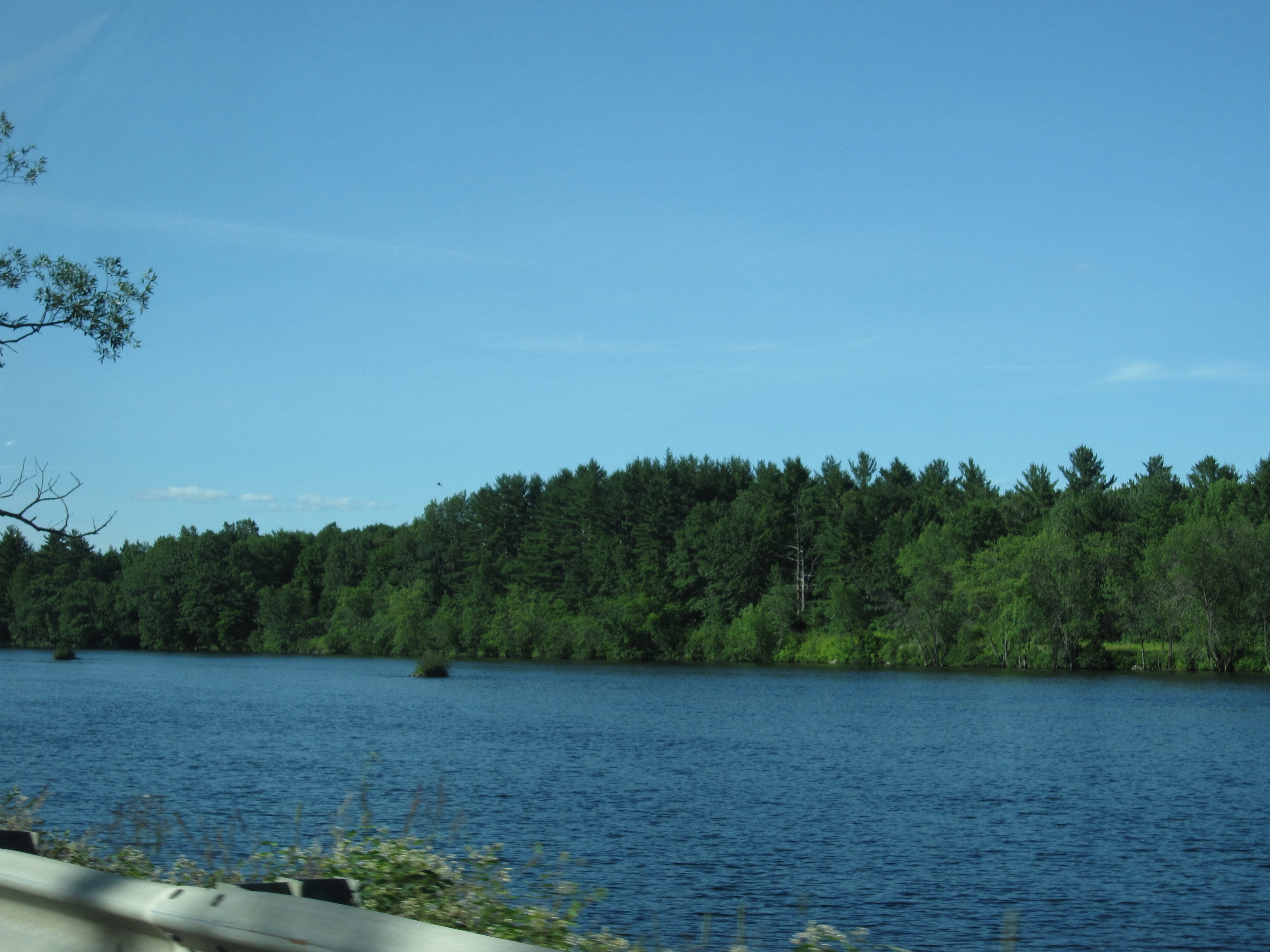
View from Bridge in North Anson, Maine
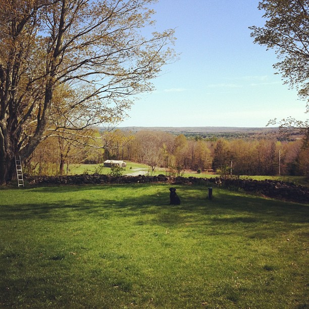
the view from the front porch #visitingfriends #friends #maine

White Road

Hay Madison-pinhole

Kennebec Morning - Winter

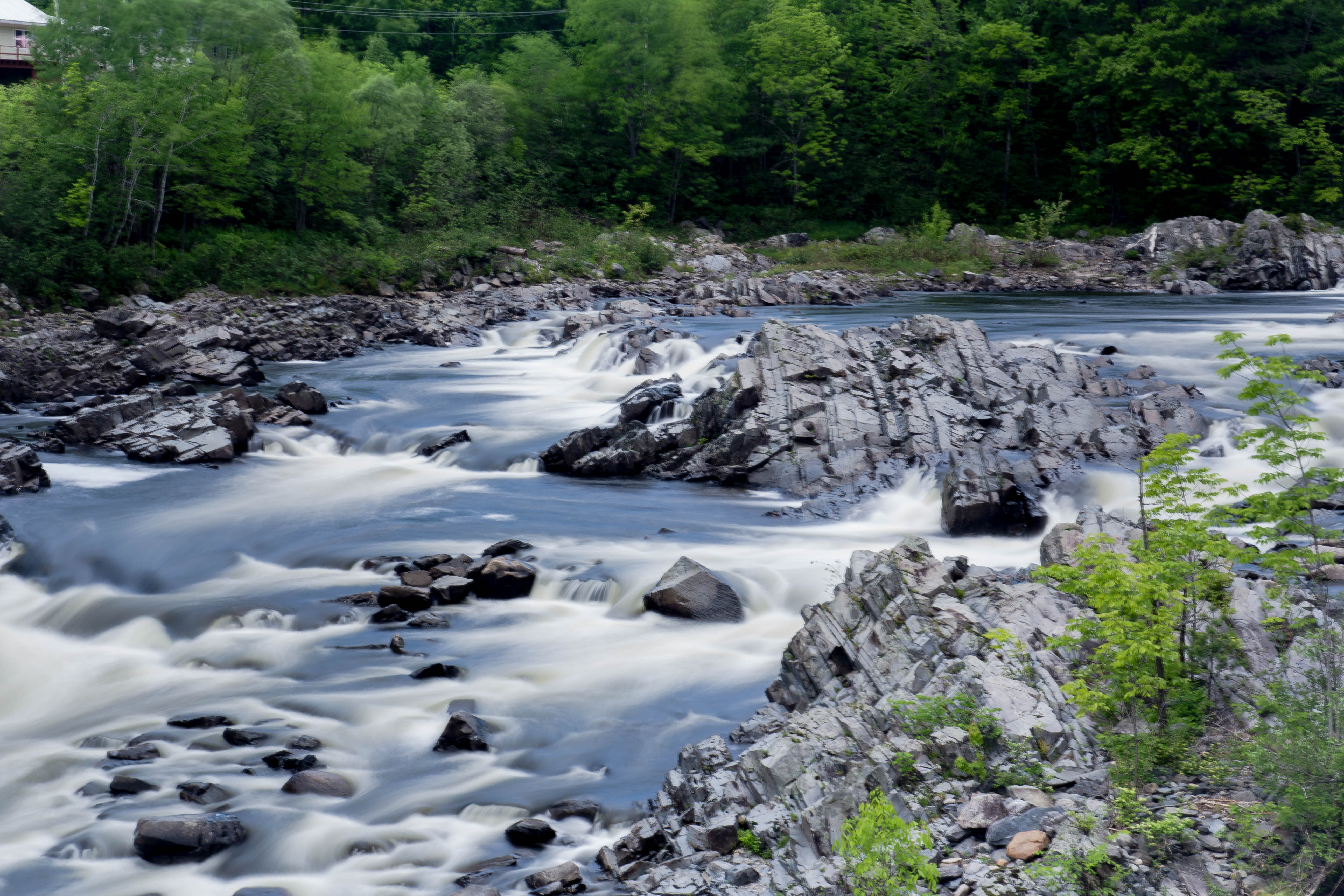
Water Nymphs 0047

Water Nymphs 0043

Walking Bridge

Water Nymphs 0046

Water Nymphs 0050

Water Nymphs 0020

Water Nymphs 0045
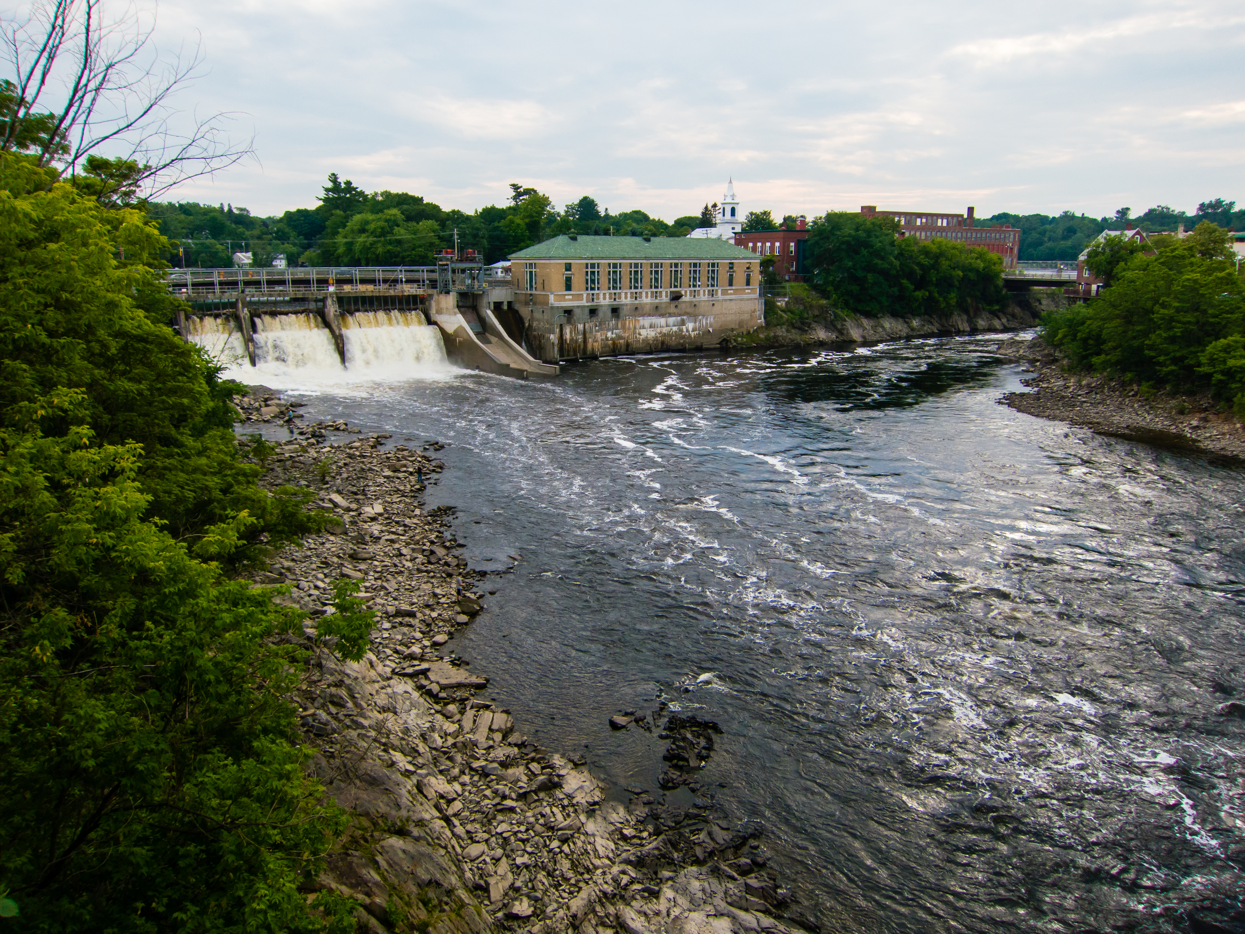
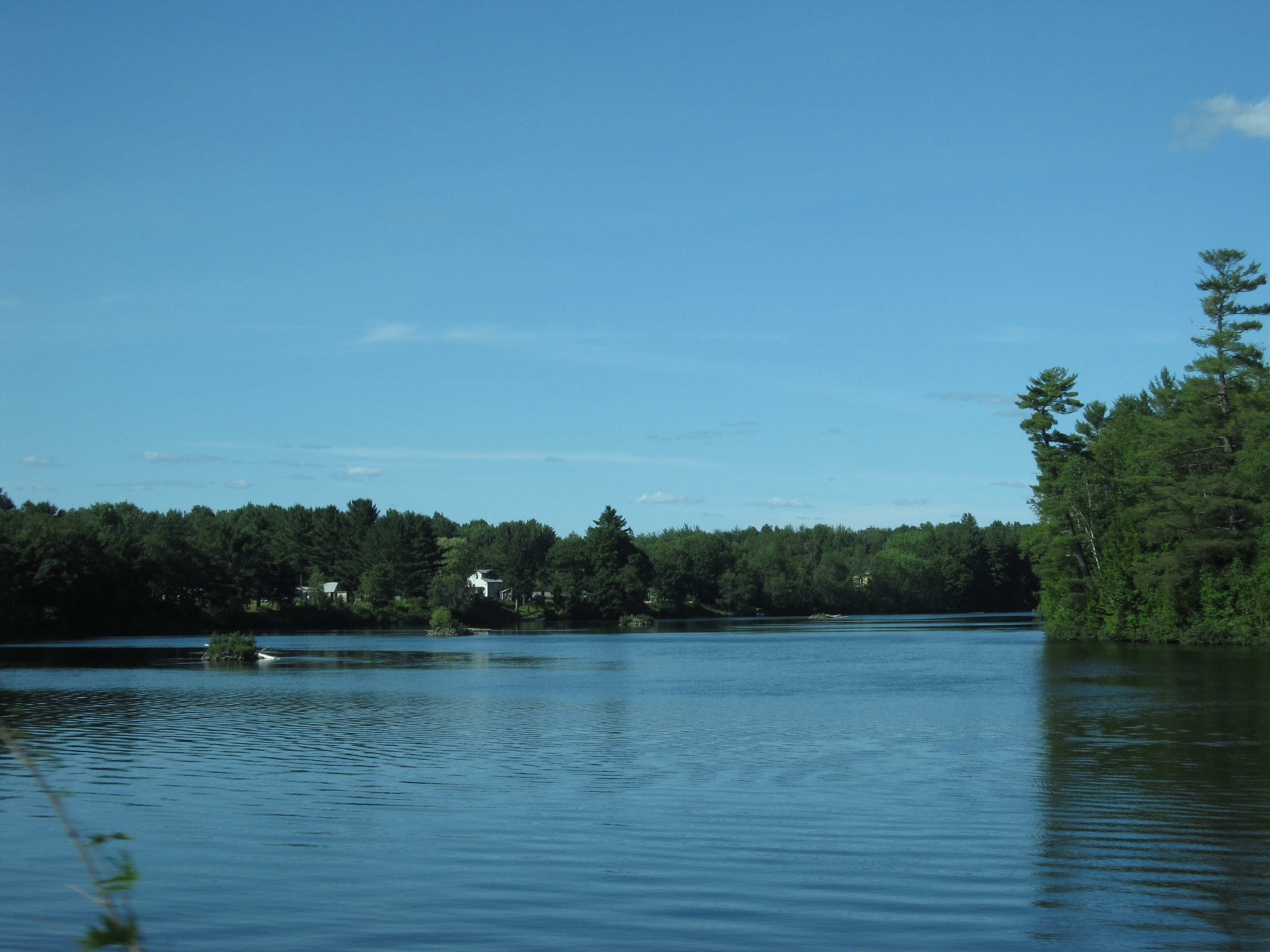
Kennebeck at Skowhegan, Maine

Water Nymphs 0032

Water Nymphs 0033

Water Nymphs 0023
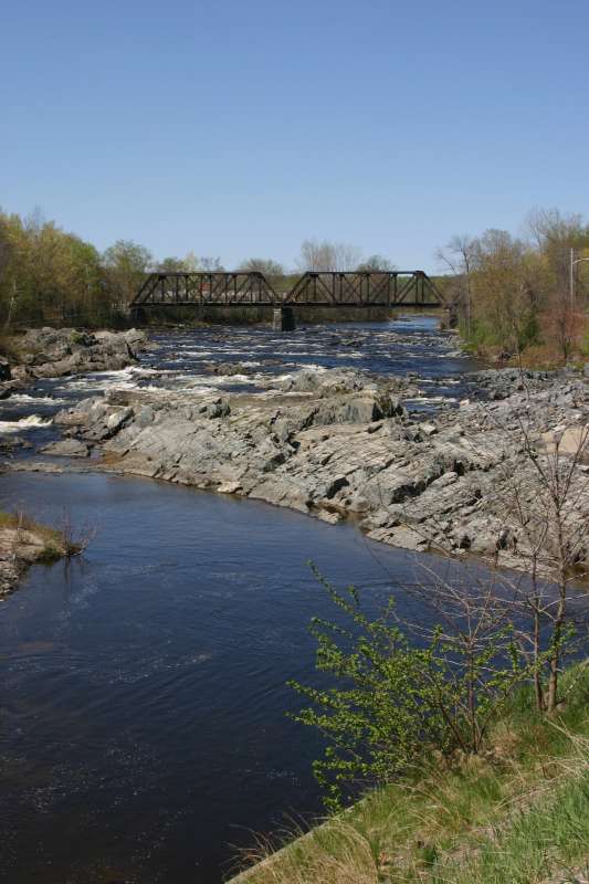
Trestle and river

farm and field
Day 7, Halifax, NS - Kingfield, ME 073
Day 7, Halifax, NS - Kingfield, ME 071
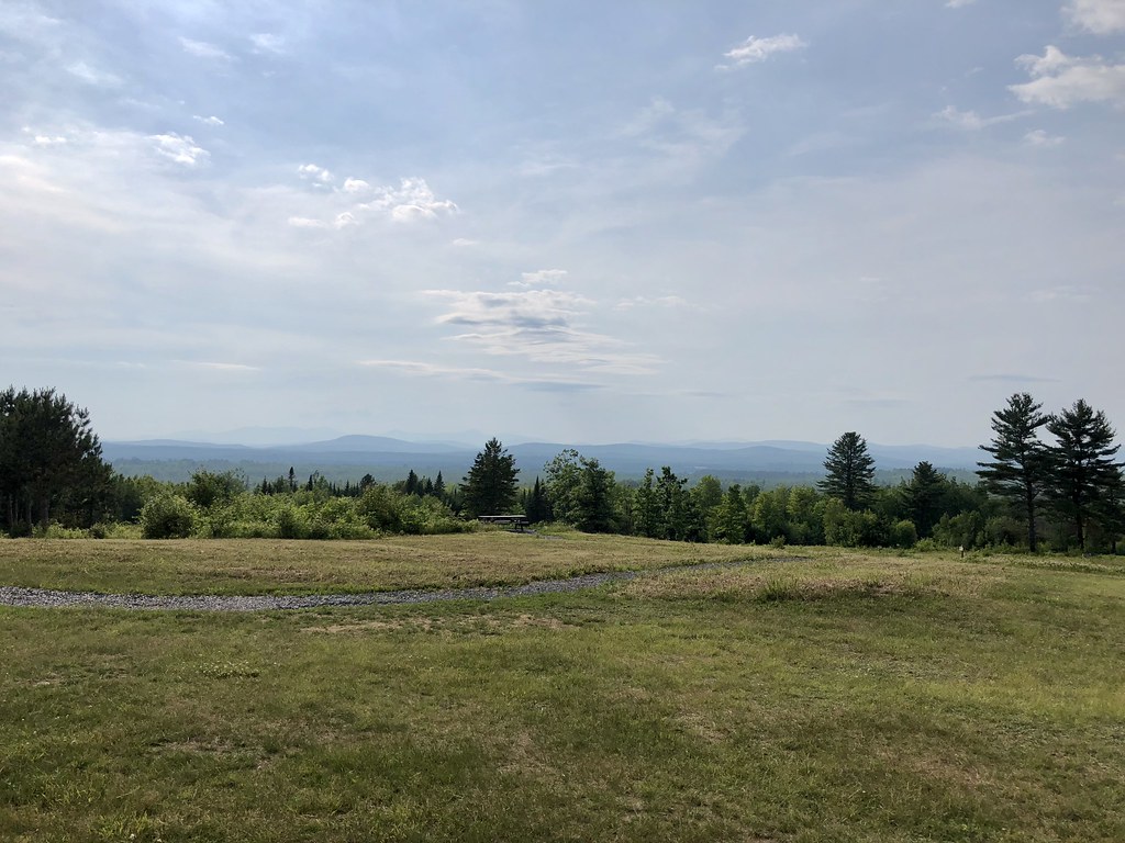
Summer 2018
Topographic Map of Main St, Madison, ME, USA
Find elevation by address:

Places near Main St, Madison, ME, USA:
22 Heald St
2 Old Point Ave, Madison, ME, USA
Madison
Madison
71 Us-201a
76 Pine St
Anson
290 Horseback Rd
Norridgewock
109 Ward Hill Rd
14 Perkins St
ME-, Starks, ME, USA
1938 Mercer Rd
Norridgewock
Norridgewock
Mercer
80 Old Rte 2 Rd, Mercer, ME, USA
26 Maple St
Chapman Steven Dds
12 Alder St
Recent Searches:
- Elevation of Corso Fratelli Cairoli, 35, Macerata MC, Italy
- Elevation of Tallevast Rd, Sarasota, FL, USA
- Elevation of 4th St E, Sonoma, CA, USA
- Elevation of Black Hollow Rd, Pennsdale, PA, USA
- Elevation of Oakland Ave, Williamsport, PA, USA
- Elevation of Pedrógão Grande, Portugal
- Elevation of Klee Dr, Martinsburg, WV, USA
- Elevation of Via Roma, Pieranica CR, Italy
- Elevation of Tavkvetili Mountain, Georgia
- Elevation of Hartfords Bluff Cir, Mt Pleasant, SC, USA