Elevation of 71 US-A, Madison, ME, USA
Location: United States > Maine > Somerset County > Madison > Madison >
Longitude: -69.881323
Latitude: 44.7930931
Elevation: 87m / 285feet
Barometric Pressure: 100KPa
Elevation Map:
Satellite Map:
Related Photos:
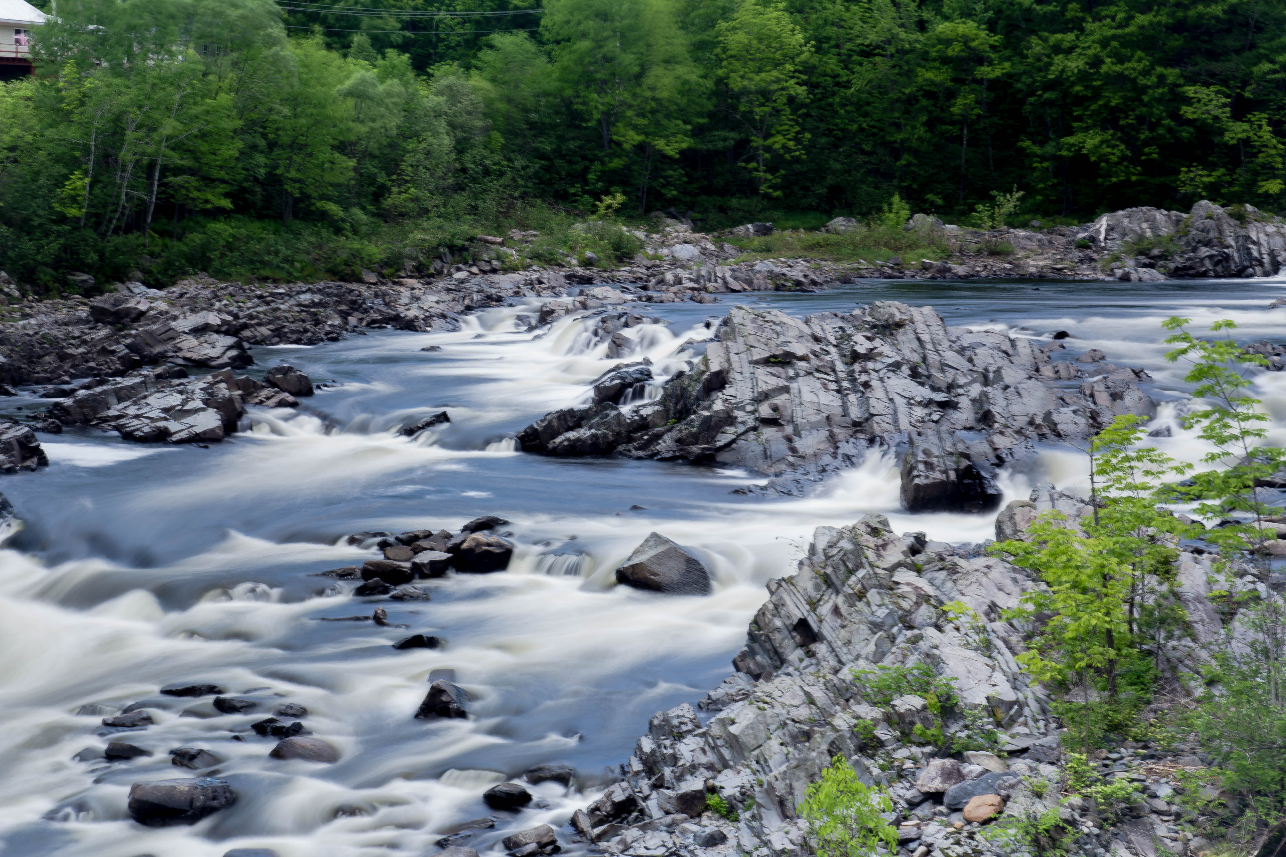
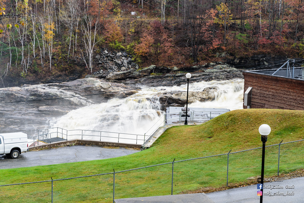
View from Bridge in North Anson, Maine

Beech Nut Hut on top of Beech Hill, Maine

Hay Madison

Hay Madison-pinhole

Sun sets behind the mountains and we have a long way to drive tonight
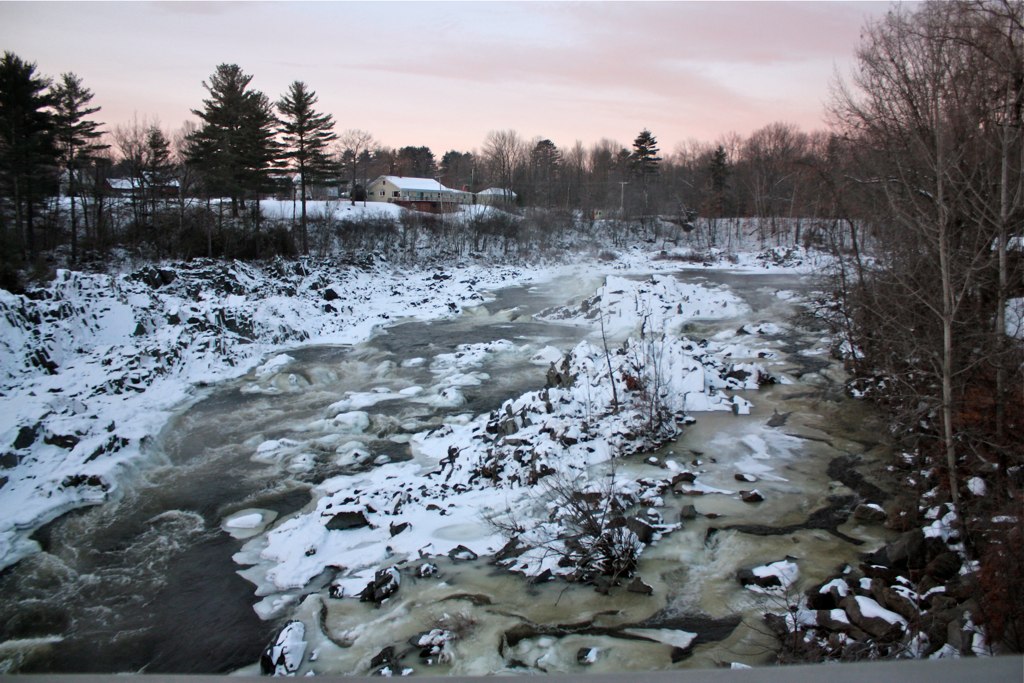
Kennebec Morning - Winter

Water Nymphs 0047

Water Nymphs 0030

Water Nymphs 0043

White Road

Water Nymphs 0033

Water Nymphs 0045
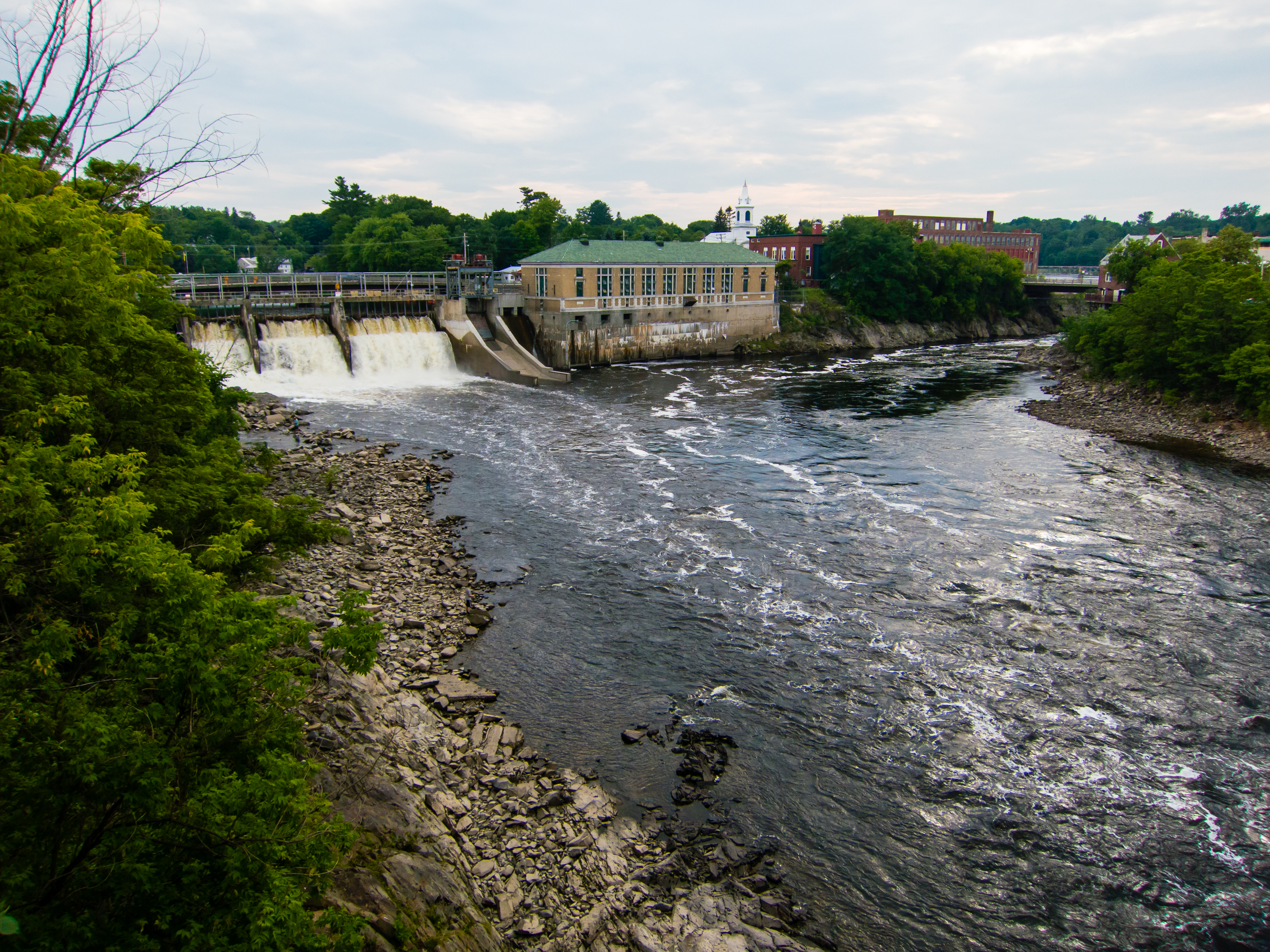
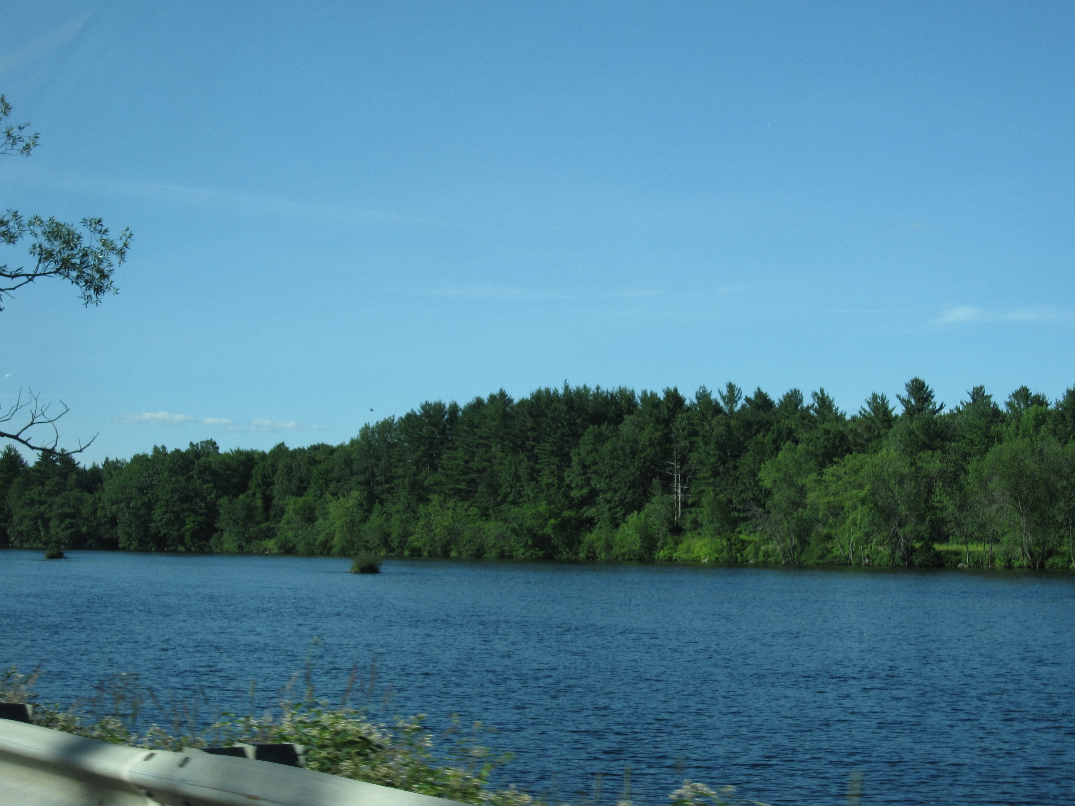
Kennebeck at Skowhegan, Maine

Maine - Skowhegan

Water Nymphs 0032

Water Nymphs 0023
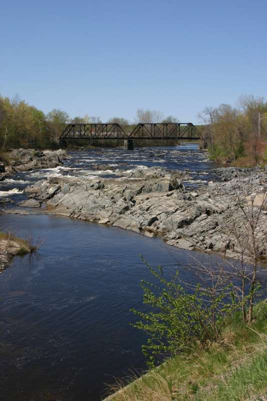
Trestle and river

farm and field
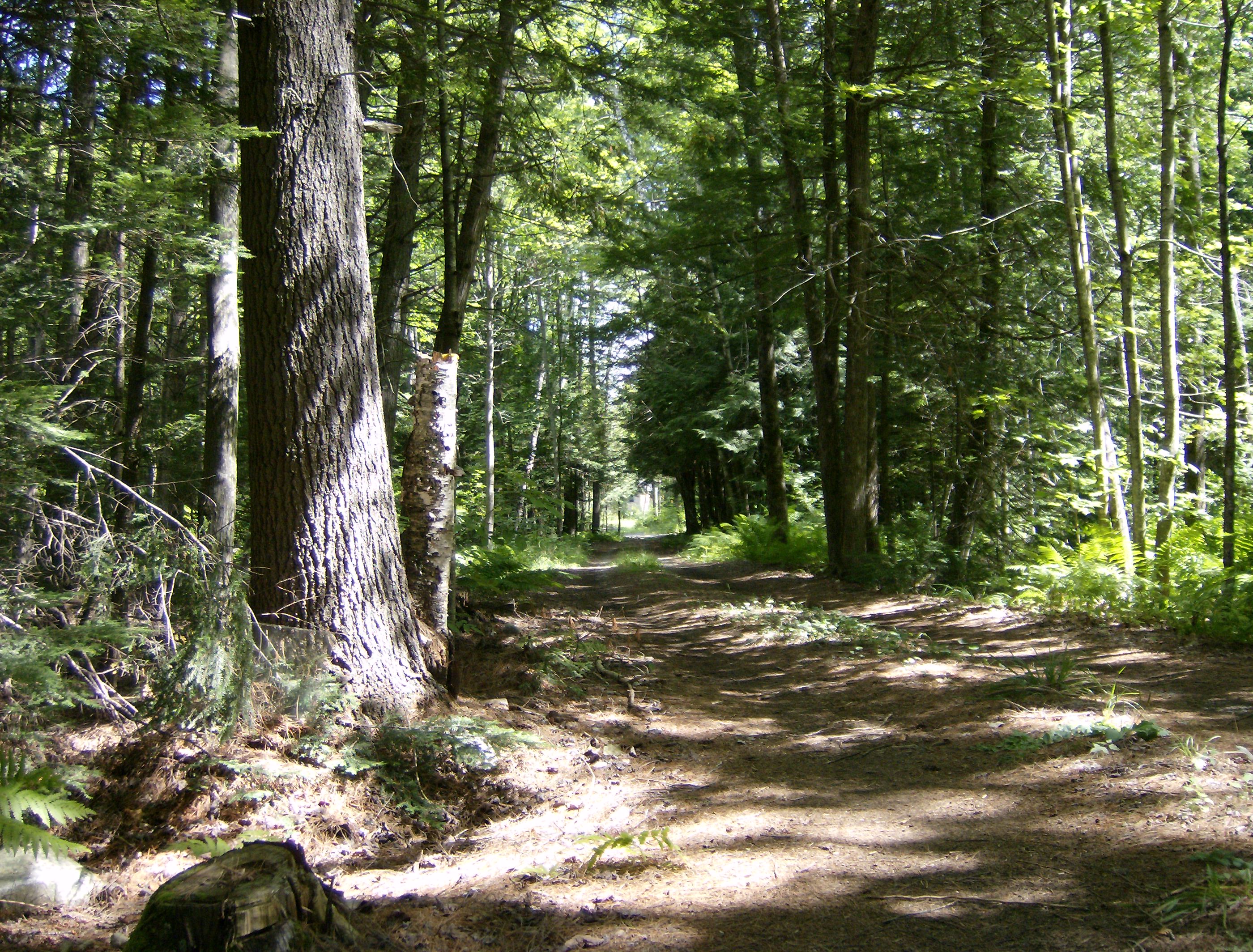
Long driveway
Day 7, Halifax, NS - Kingfield, ME 071
US-2417-20171029
Topographic Map of 71 US-A, Madison, ME, USA
Find elevation by address:

Places near 71 US-A, Madison, ME, USA:
76 Pine St
Madison
Madison
2 Old Point Ave, Madison, ME, USA
22 Heald St
210 Main St
Anson
290 Horseback Rd
Norridgewock
ME-, Starks, ME, USA
109 Ward Hill Rd
1938 Mercer Rd
14 Perkins St
Norridgewock
Norridgewock
Mercer
80 Old Rte 2 Rd, Mercer, ME, USA
26 Maple St
12 Alder St
Chapman Steven Dds
Recent Searches:
- Elevation of Corso Fratelli Cairoli, 35, Macerata MC, Italy
- Elevation of Tallevast Rd, Sarasota, FL, USA
- Elevation of 4th St E, Sonoma, CA, USA
- Elevation of Black Hollow Rd, Pennsdale, PA, USA
- Elevation of Oakland Ave, Williamsport, PA, USA
- Elevation of Pedrógão Grande, Portugal
- Elevation of Klee Dr, Martinsburg, WV, USA
- Elevation of Via Roma, Pieranica CR, Italy
- Elevation of Tavkvetili Mountain, Georgia
- Elevation of Hartfords Bluff Cir, Mt Pleasant, SC, USA