Elevation of Magdalena Peak, New Mexico, USA
Location: Las Cruces >
Longitude: -107.16751
Latitude: 32.4917521
Elevation: 1953m / 6407feet
Barometric Pressure: 80KPa
Elevation Map:
Satellite Map:
Related Photos:
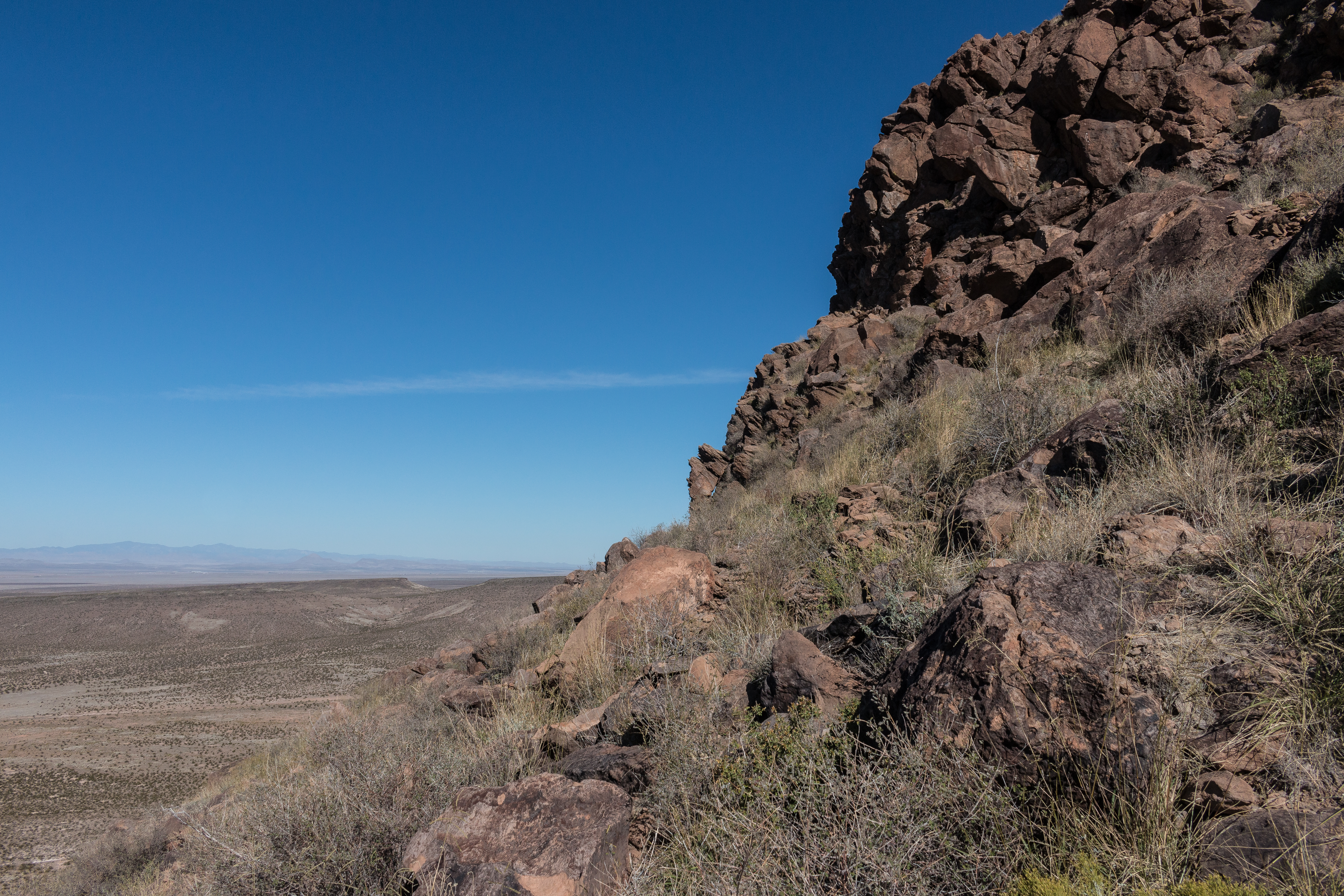
Massacre Peak-3311
Topographic Map of Magdalena Peak, New Mexico, USA
Find elevation by address:

Places near Magdalena Peak, New Mexico, USA:
Jesus Silva St, Hatch, NM, USA
Hatch
Canam Highway
Rio Grande Bridge Historic Site
Robledo Vista Rd, Las Cruces, NM, USA
NM-, Garfield, NM, USA
Arrey
Lake Valley
Sibley Mountain South
Town Mountain
Sibley Mountain North
Caballo
NM-, Caballo, NM, USA
43 Comesco Trail
Berrenda Mountain South
Lee Mountain
Berrenda Mountain North
Caballo Lake State Park
Spaceport America
Mule Springs Peak
Recent Searches:
- Elevation of Corso Fratelli Cairoli, 35, Macerata MC, Italy
- Elevation of Tallevast Rd, Sarasota, FL, USA
- Elevation of 4th St E, Sonoma, CA, USA
- Elevation of Black Hollow Rd, Pennsdale, PA, USA
- Elevation of Oakland Ave, Williamsport, PA, USA
- Elevation of Pedrógão Grande, Portugal
- Elevation of Klee Dr, Martinsburg, WV, USA
- Elevation of Via Roma, Pieranica CR, Italy
- Elevation of Tavkvetili Mountain, Georgia
- Elevation of Hartfords Bluff Cir, Mt Pleasant, SC, USA