Elevation of Hatch, NM, USA
Location: United States > New Mexico > Doña Ana County >
Longitude: -107.15307
Latitude: 32.6653572
Elevation: 1237m / 4058feet
Barometric Pressure: 87KPa
Elevation Map:
Satellite Map:
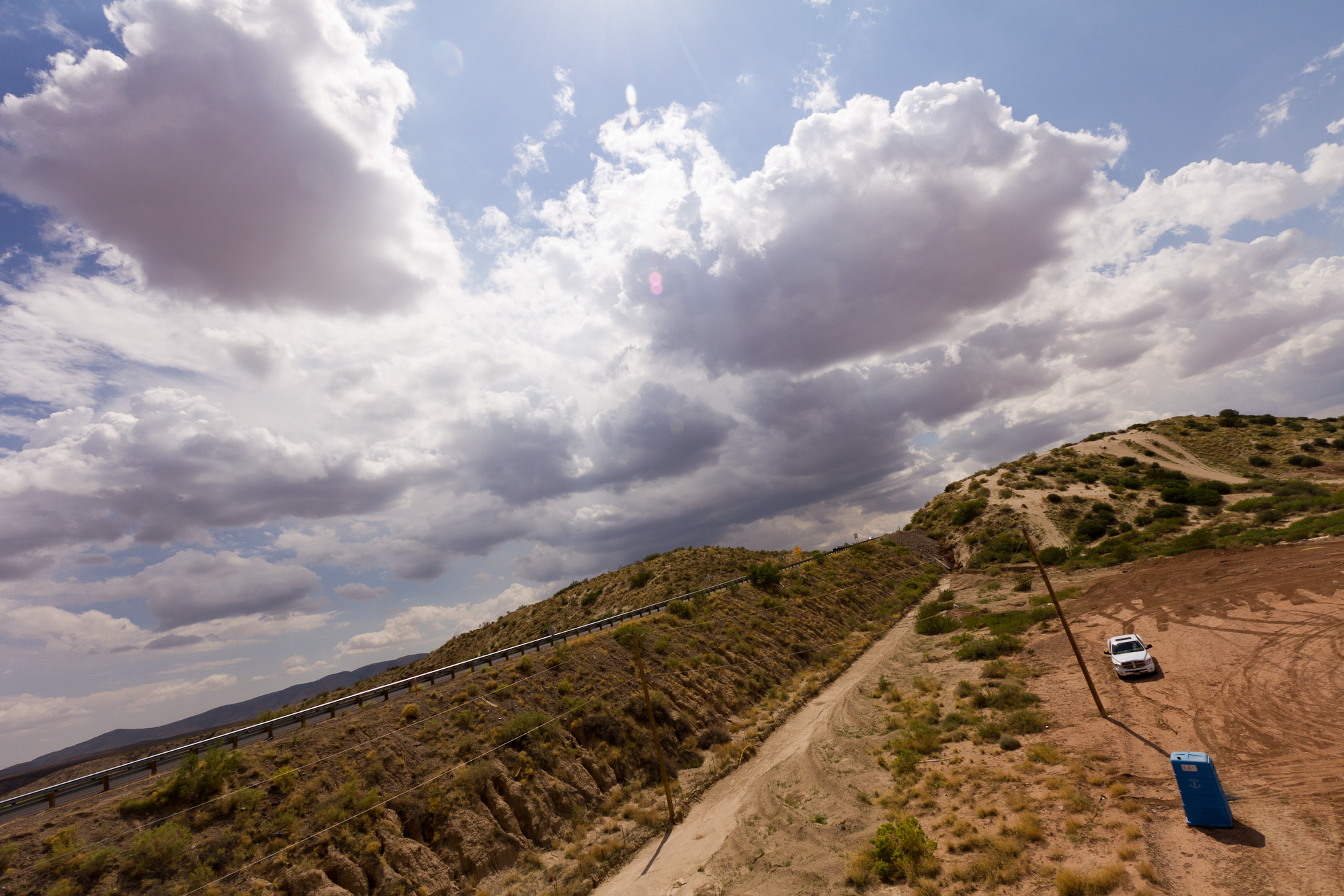
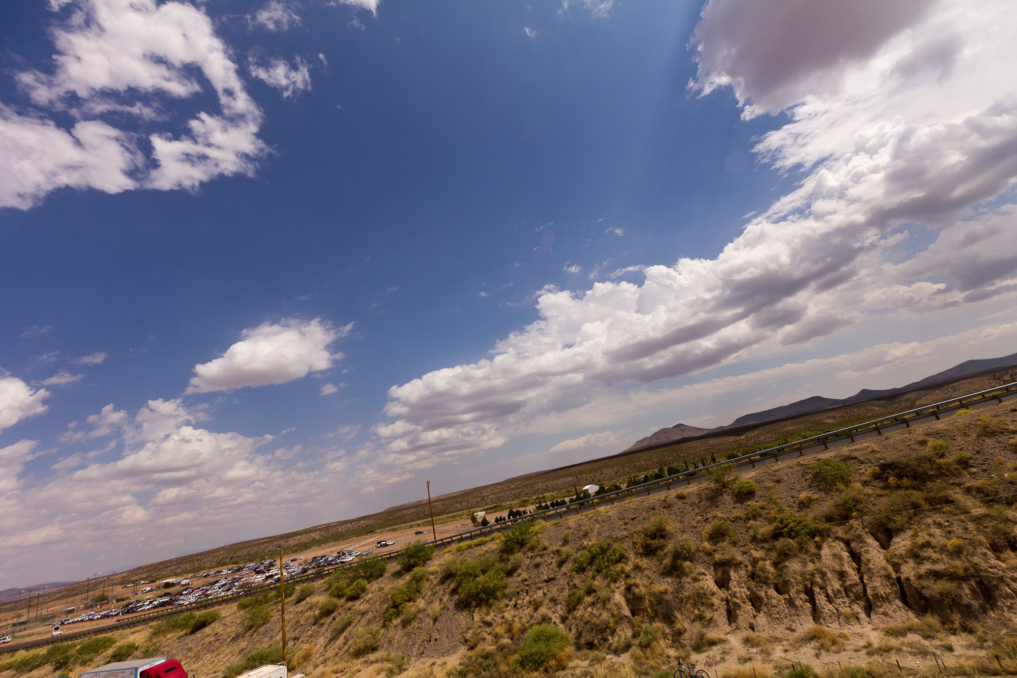
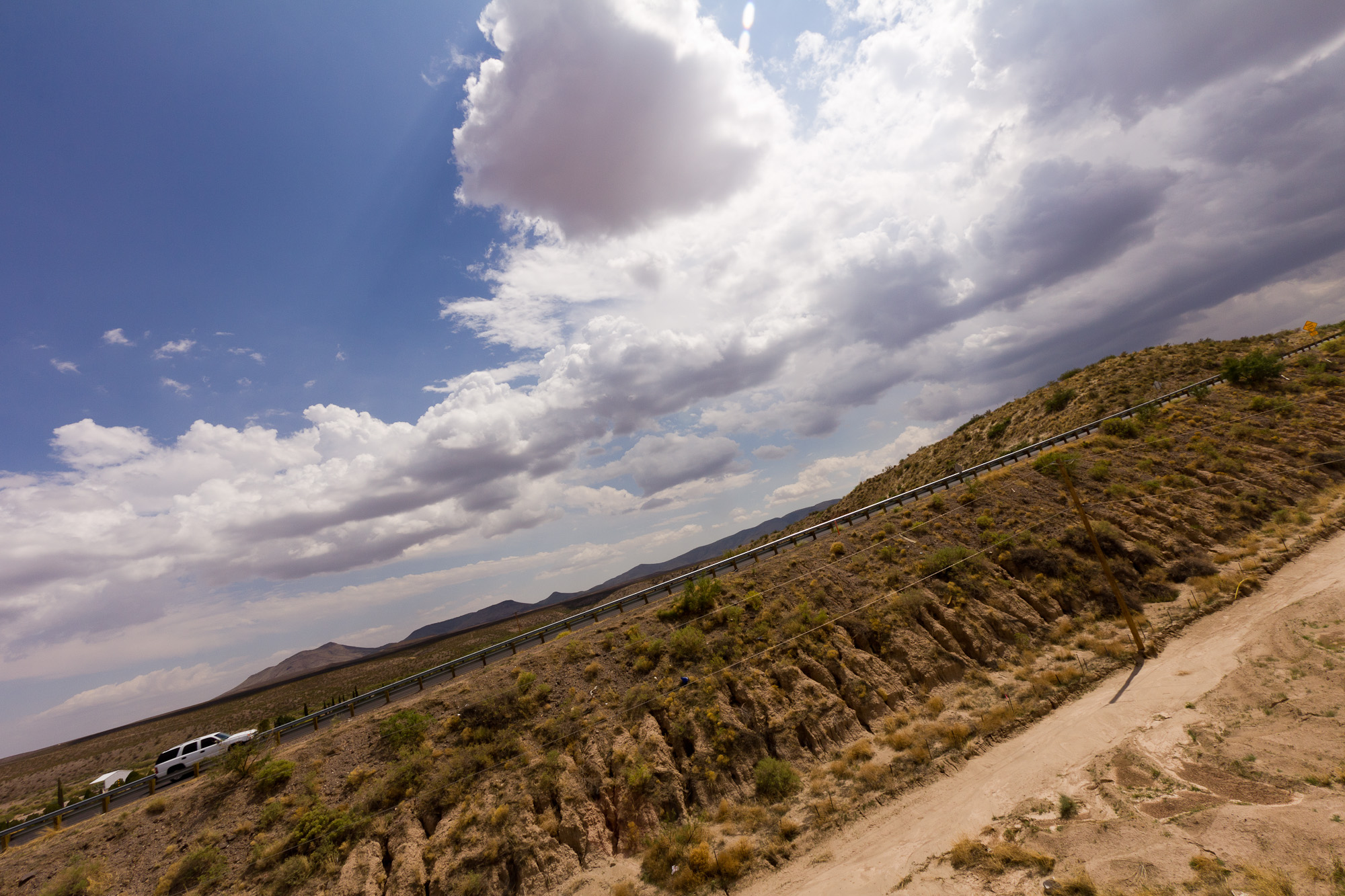
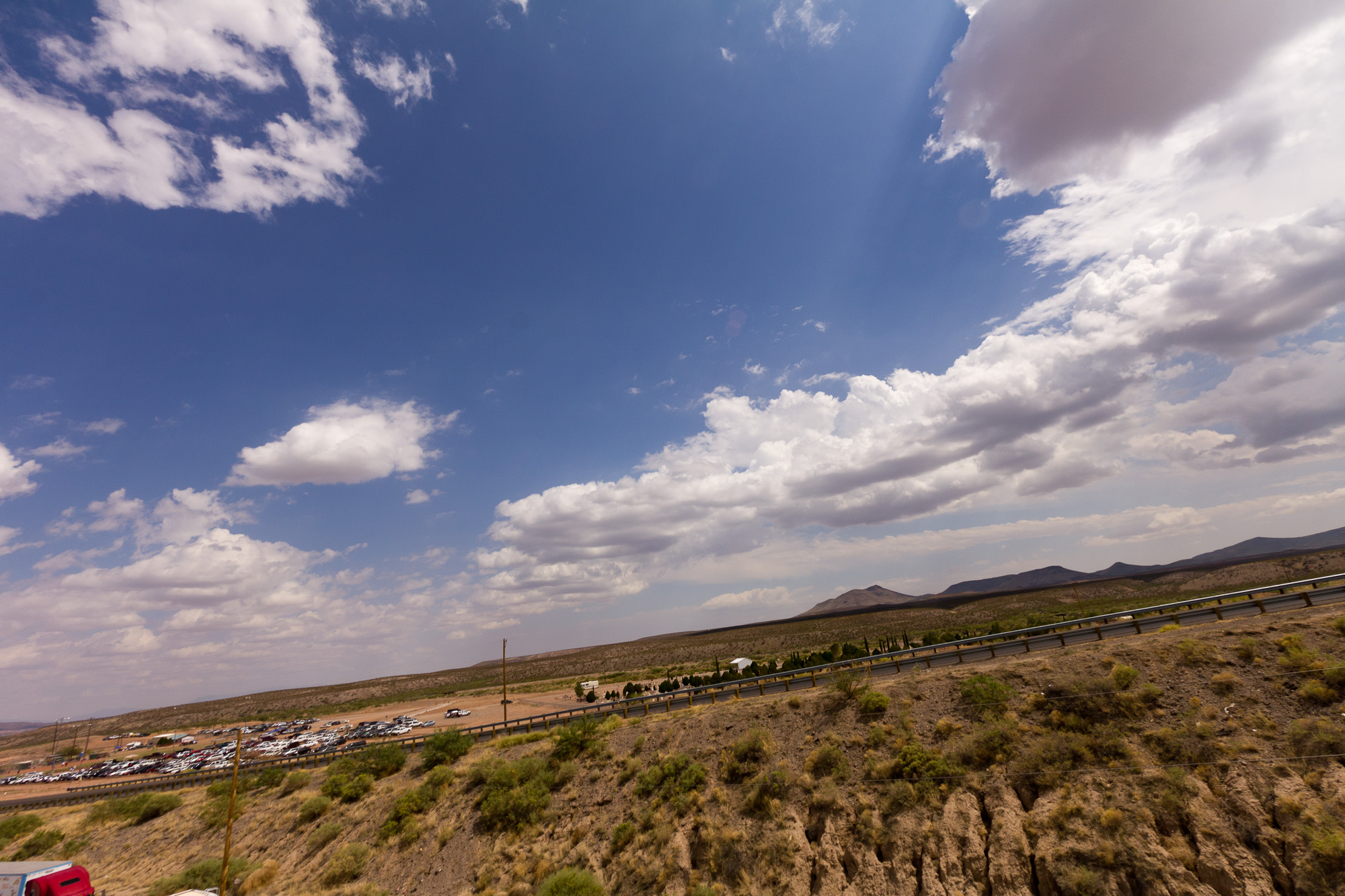
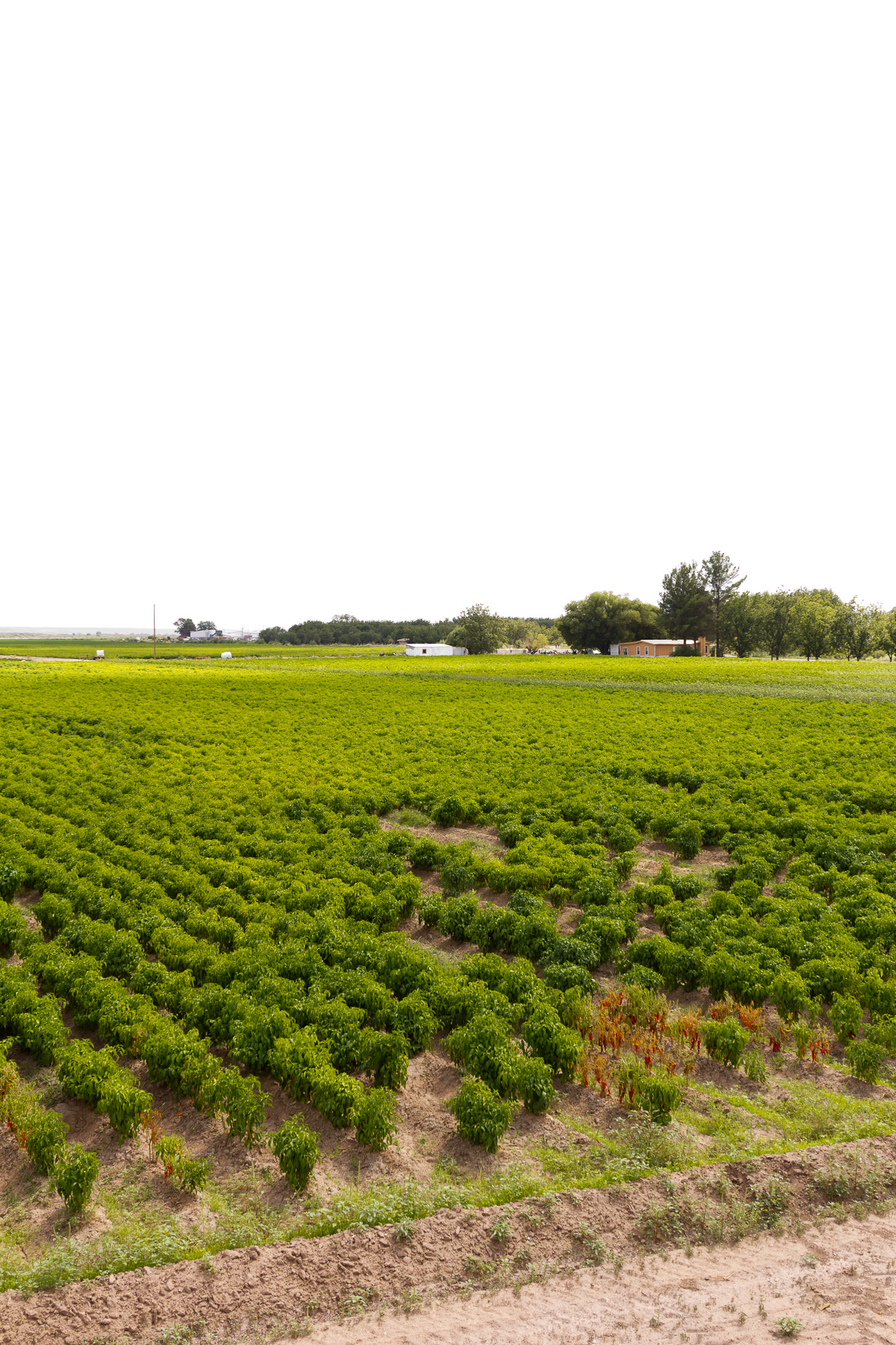
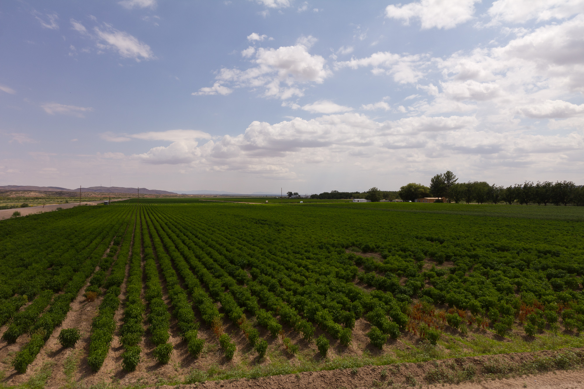
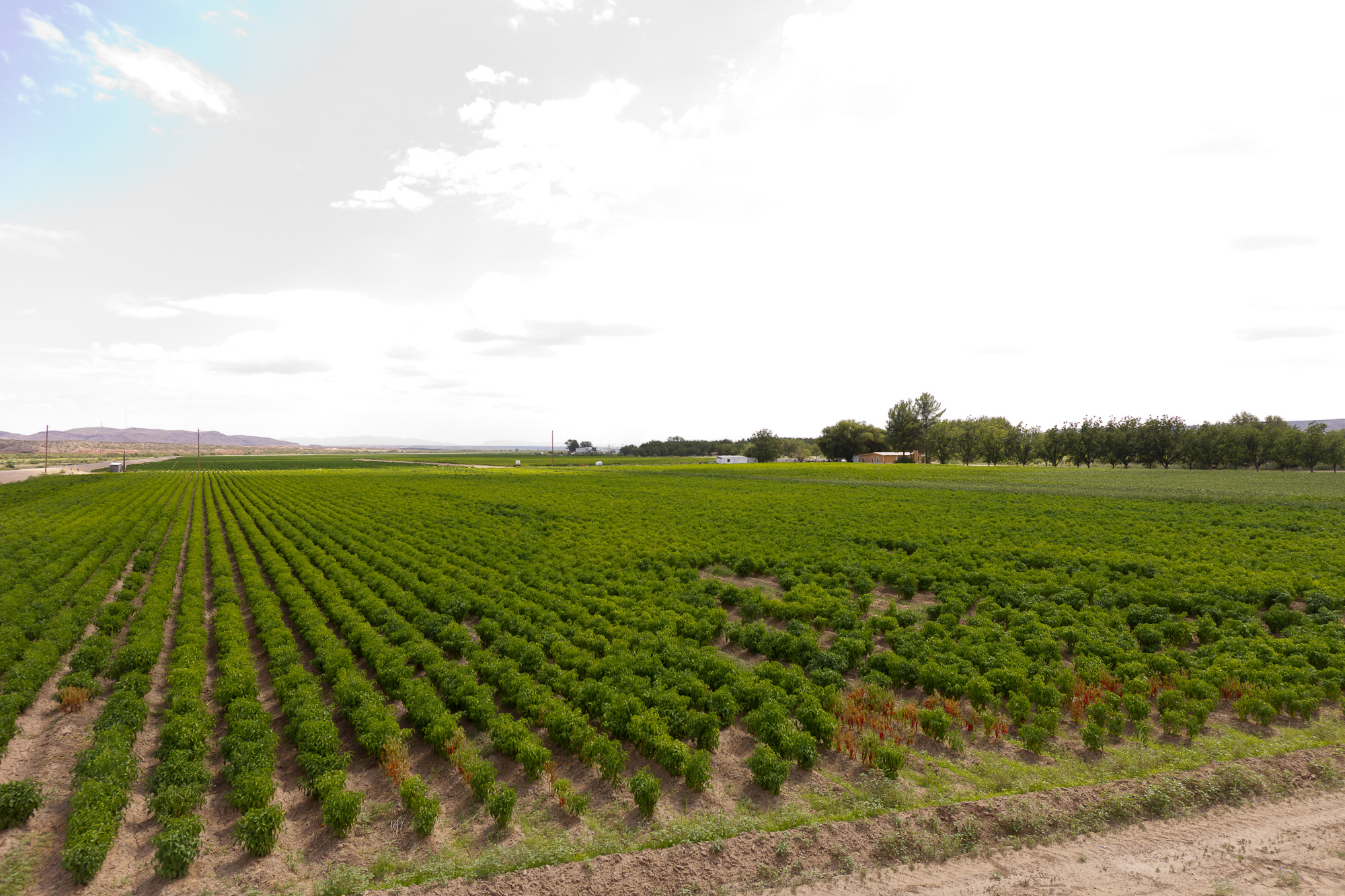
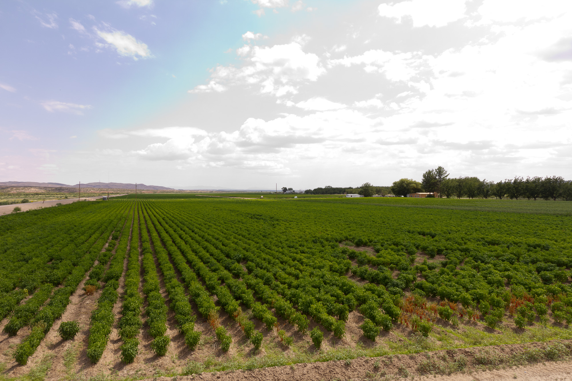
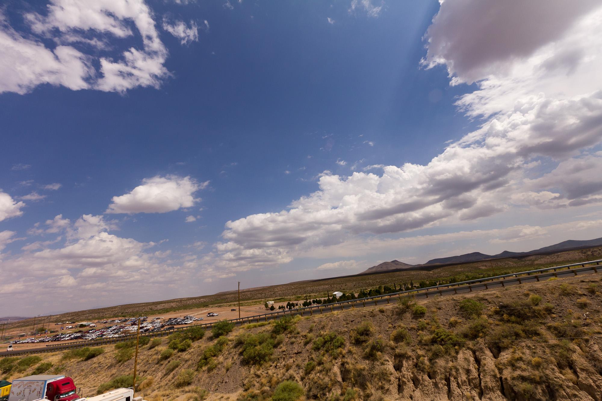
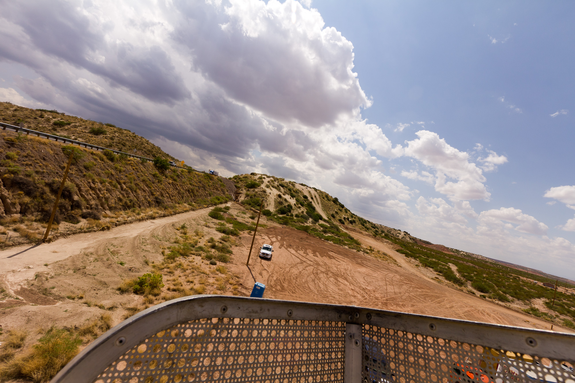
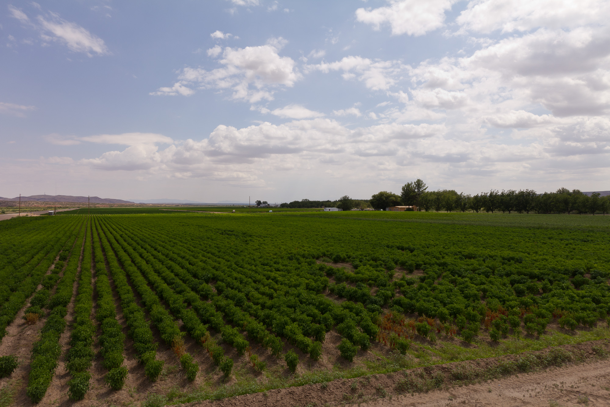
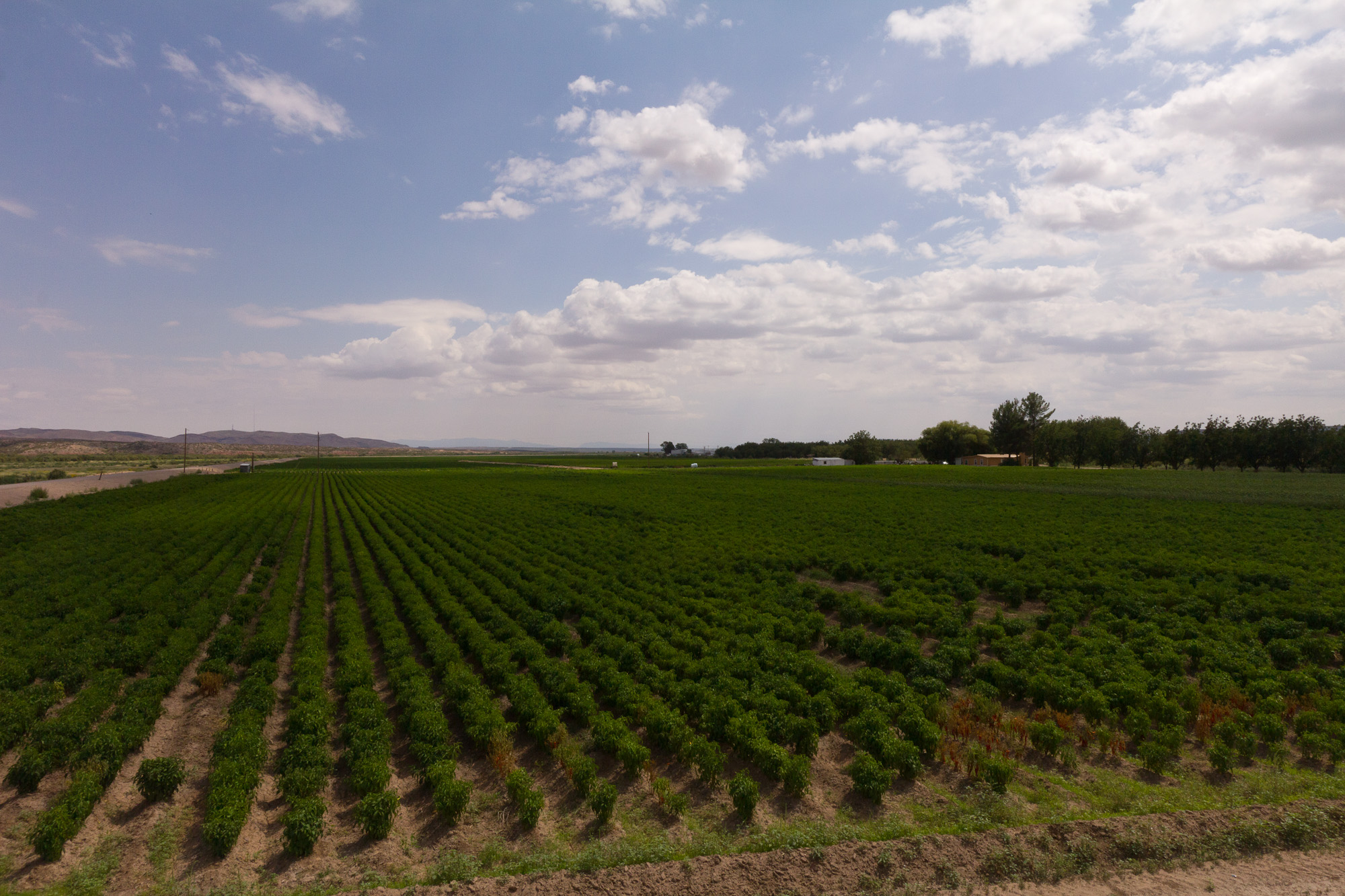
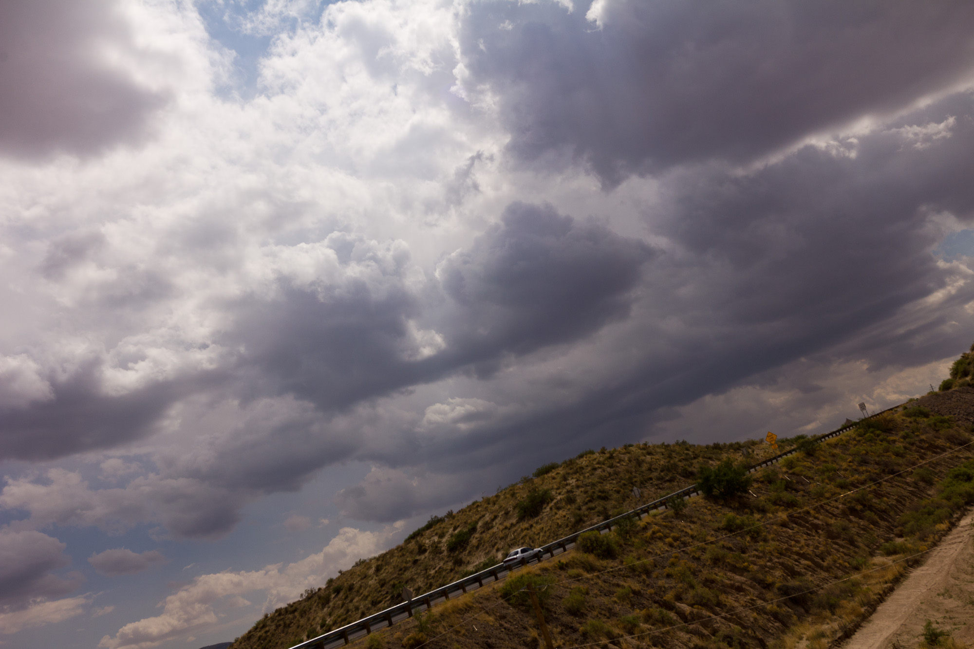
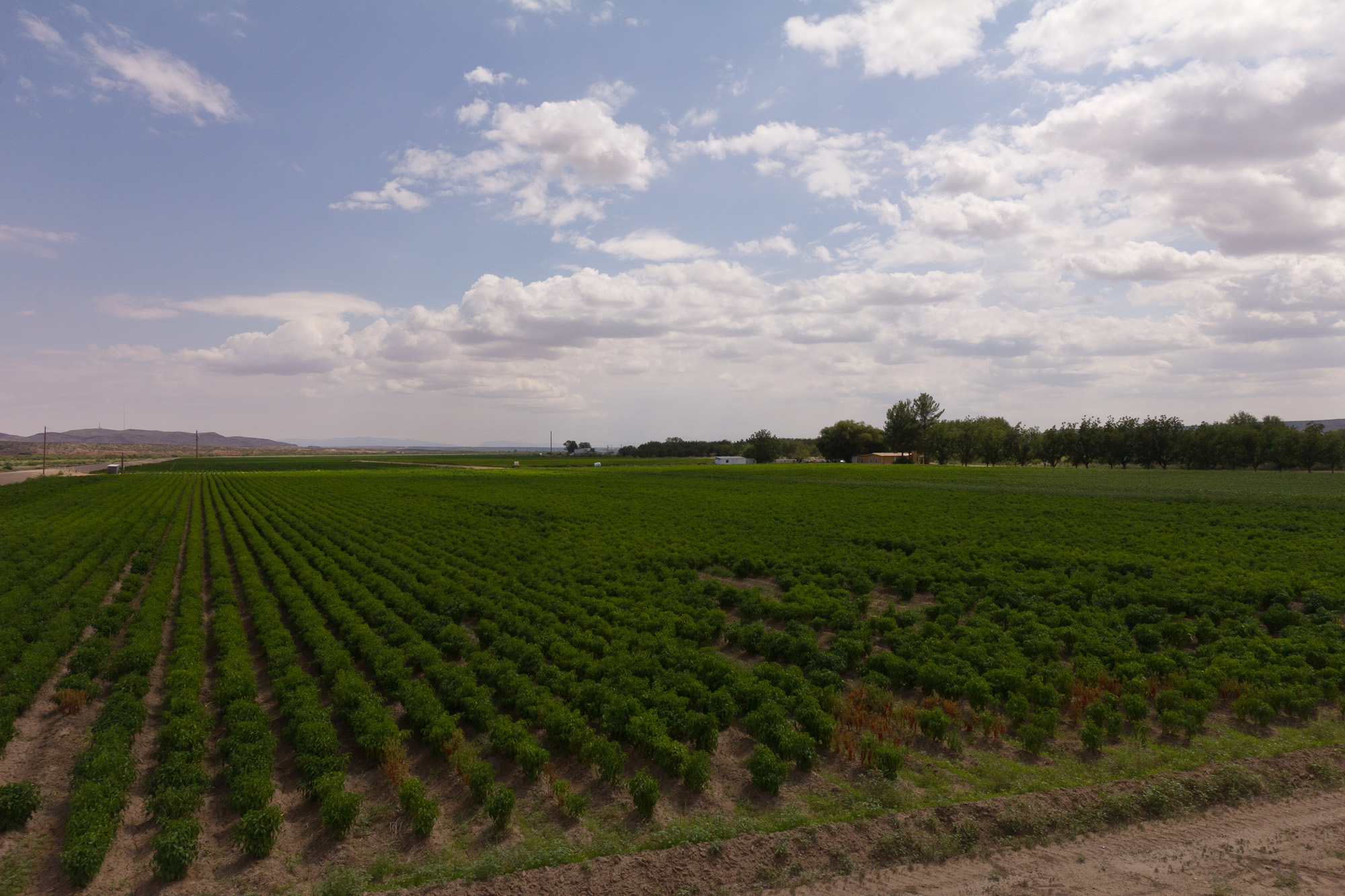
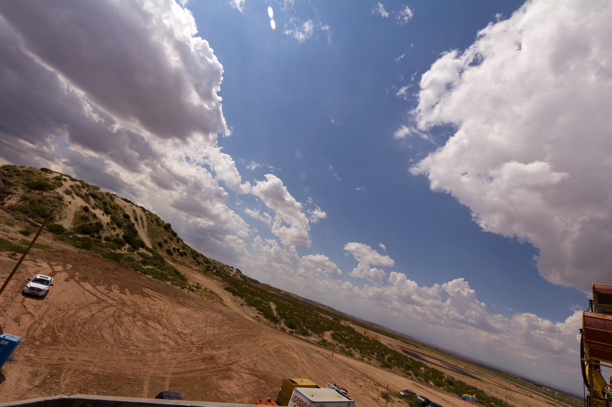
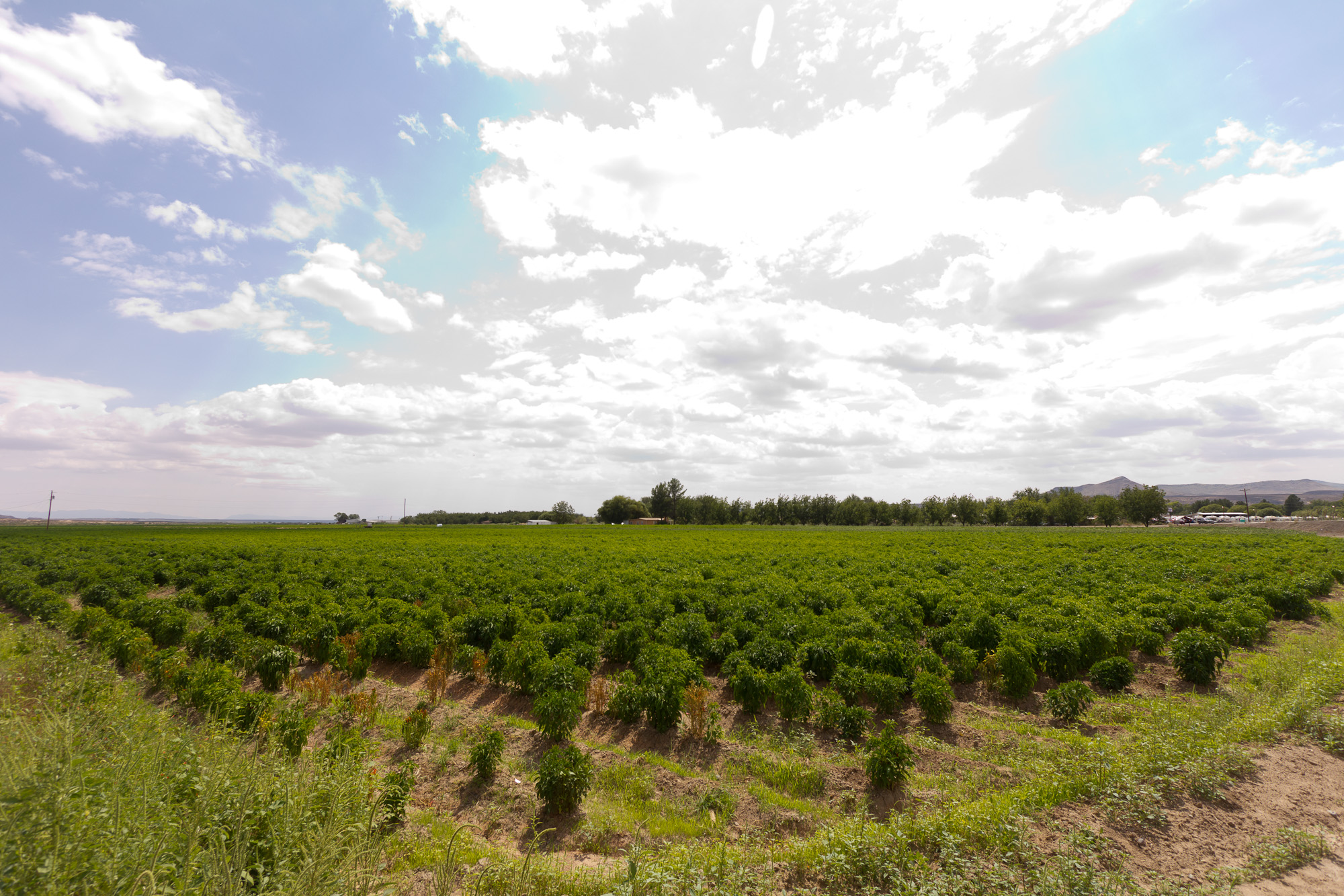
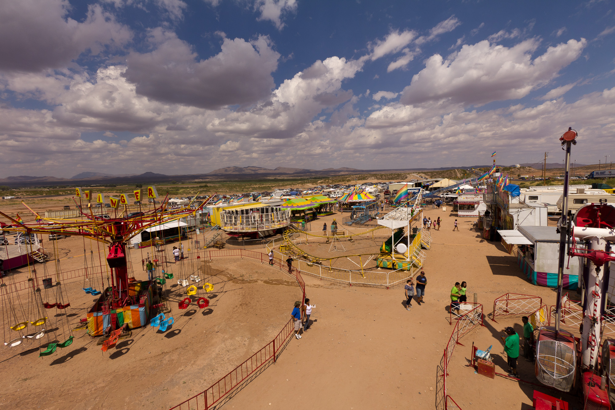
Related Photos:
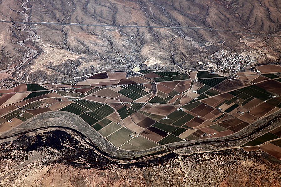
Aerial View of Hockett, New Mexico
IMG_0451.jpg
IMG_0439.jpg
IMG_0452.jpg
IMG_0436.jpg
IMG_0343.jpg
IMG_0335.jpg
IMG_0340.jpg
IMG_0337.jpg
IMG_0438.jpg
IMG_0455.jpg
IMG_0338.jpg

IMG_0457.jpg
IMG_0336.jpg
IMG_0450.jpg

IMG_0442.jpg
IMG_0339.jpg

IMG_0443.jpg
IMG_0456.jpg
IMG_0331.jpg

IMG_0432.jpg
IMG_0459.jpg
Topographic Map of Hatch, NM, USA
Find elevation by address:

Places in Hatch, NM, USA:
Places near Hatch, NM, USA:
Jesus Silva St, Hatch, NM, USA
Canam Highway
Magdalena Peak
NM-, Garfield, NM, USA
Arrey
Rio Grande Bridge Historic Site
Robledo Vista Rd, Las Cruces, NM, USA
Caballo
NM-, Caballo, NM, USA
Caballo Lake State Park
Spaceport America
Sibley Mountain South
Sibley Mountain North
Lake Valley
Town Mountain
Berrenda Mountain South
43 Comesco Trail
Berrenda Mountain North
996 S Broadway St
709 Wyona St
Recent Searches:
- Elevation of Corso Fratelli Cairoli, 35, Macerata MC, Italy
- Elevation of Tallevast Rd, Sarasota, FL, USA
- Elevation of 4th St E, Sonoma, CA, USA
- Elevation of Black Hollow Rd, Pennsdale, PA, USA
- Elevation of Oakland Ave, Williamsport, PA, USA
- Elevation of Pedrógão Grande, Portugal
- Elevation of Klee Dr, Martinsburg, WV, USA
- Elevation of Via Roma, Pieranica CR, Italy
- Elevation of Tavkvetili Mountain, Georgia
- Elevation of Hartfords Bluff Cir, Mt Pleasant, SC, USA