Elevation of Lee Mountain, New Mexico, USA
Location: United States > New Mexico > Hillsboro >
Longitude: -107.63252
Latitude: 32.7159125
Elevation: 1950m / 6398feet
Barometric Pressure: 80KPa
Elevation Map:
Satellite Map:
Related Photos:
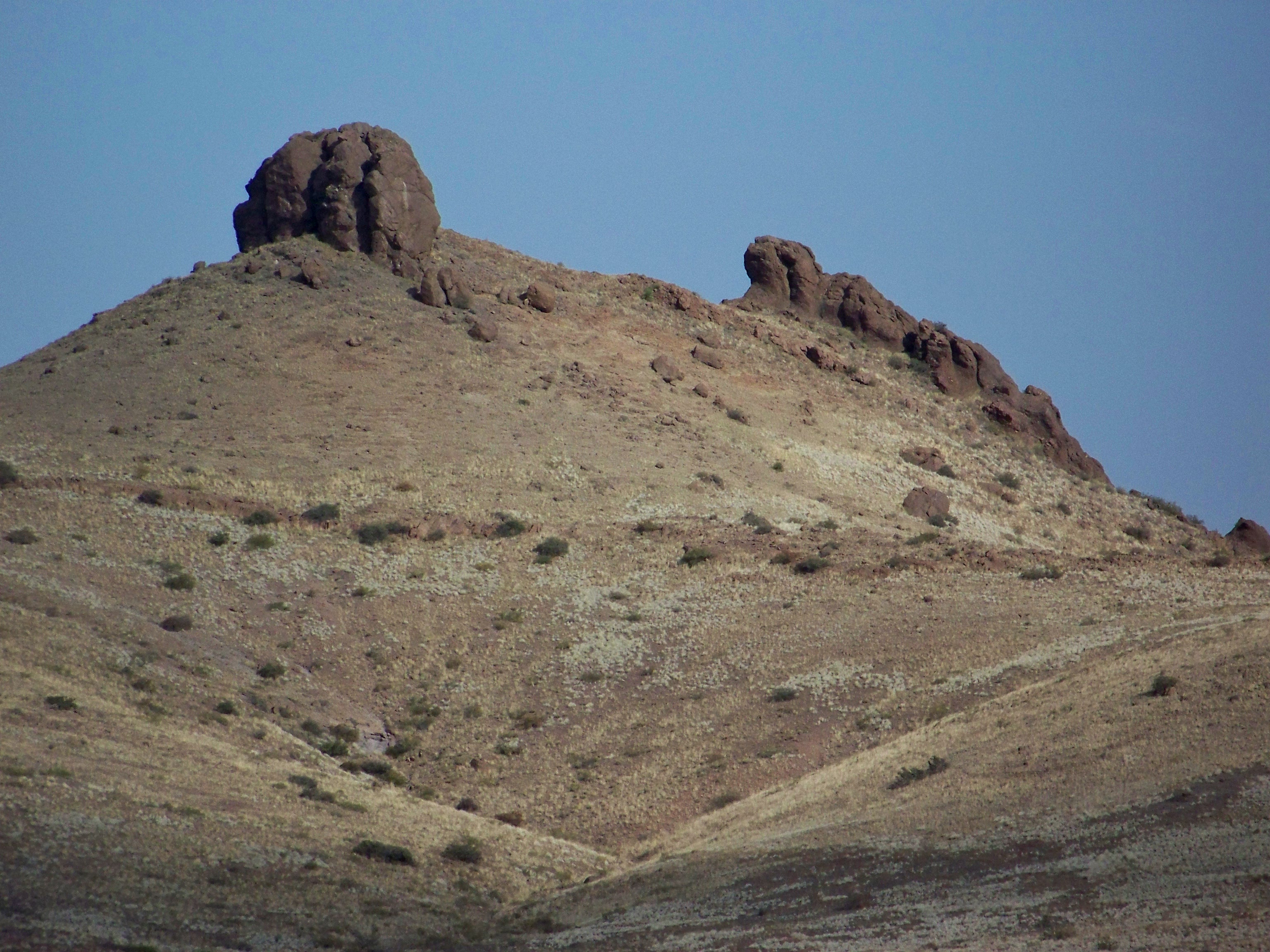
The Lizard
Topographic Map of Lee Mountain, New Mexico, USA
Find elevation by address:

Places near Lee Mountain, New Mexico, USA:
43 Comesco Trail
Town Mountain
Berrenda Mountain South
Berrenda Mountain North
Lake Valley
Whiterock Mountain
Mule Springs Peak
Mcclede Mountain
Sibley Mountain South
Sibley Mountain North
Cookes Peak
New Mexico 152
2177 Nm-61
2177 Nm-61
Kingston
Hillsboro
Sawyers Peak
Rattlesnake Ridge
165 Royal John Mine Rd
NM-61, Hanover, NM, USA
Recent Searches:
- Elevation of Corso Fratelli Cairoli, 35, Macerata MC, Italy
- Elevation of Tallevast Rd, Sarasota, FL, USA
- Elevation of 4th St E, Sonoma, CA, USA
- Elevation of Black Hollow Rd, Pennsdale, PA, USA
- Elevation of Oakland Ave, Williamsport, PA, USA
- Elevation of Pedrógão Grande, Portugal
- Elevation of Klee Dr, Martinsburg, WV, USA
- Elevation of Via Roma, Pieranica CR, Italy
- Elevation of Tavkvetili Mountain, Georgia
- Elevation of Hartfords Bluff Cir, Mt Pleasant, SC, USA