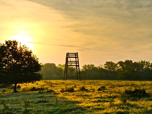
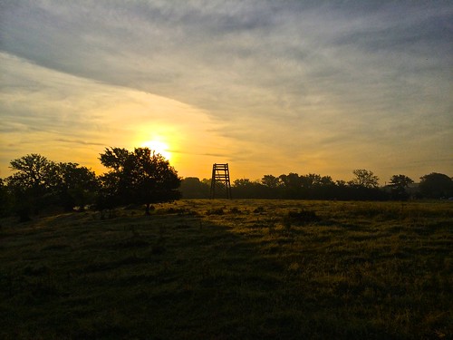
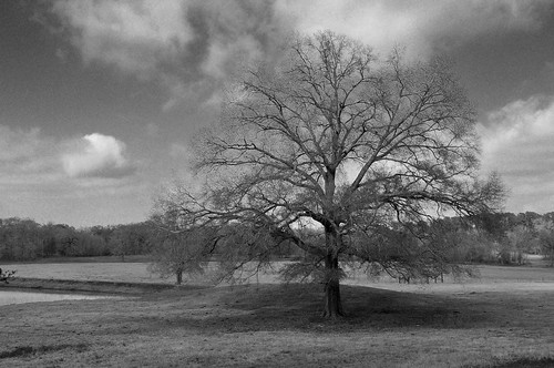
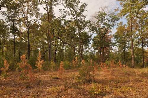
Elevation of Madisonville, TX, USA
Location: United States > Texas >
Longitude: -95.911618
Latitude: 30.9499111
Elevation: 79m / 259feet
Barometric Pressure: 100KPa
Related Photos:
Topographic Map of Madisonville, TX, USA
Find elevation by address:

Places in Madisonville, TX, USA:
Places near Madisonville, TX, USA:
S May St, Madisonville, TX, USA
Madison County
FM, Normangee, TX, USA
Farm To Market Road 1428
3813 Hendrix Ln
9695 Wallace Rd
Farm to Market Rd, Midway, TX, USA
Midway
FM 39, Normangee, TX, USA
County Road 139
Leona
TX-75, Leona, TX, USA
Normangee
Normangee High School
TX-21, Crockett, TX, USA
Leon County
Flynn
Sunset
Hair Haven
209 Opal
Recent Searches:
- Elevation of Corso Fratelli Cairoli, 35, Macerata MC, Italy
- Elevation of Tallevast Rd, Sarasota, FL, USA
- Elevation of 4th St E, Sonoma, CA, USA
- Elevation of Black Hollow Rd, Pennsdale, PA, USA
- Elevation of Oakland Ave, Williamsport, PA, USA
- Elevation of Pedrógão Grande, Portugal
- Elevation of Klee Dr, Martinsburg, WV, USA
- Elevation of Via Roma, Pieranica CR, Italy
- Elevation of Tavkvetili Mountain, Georgia
- Elevation of Hartfords Bluff Cir, Mt Pleasant, SC, USA
