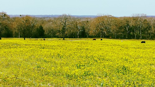
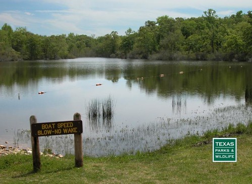
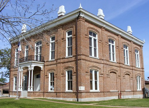
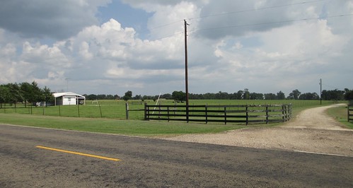
Elevation of Leon County, TX, USA
Location: United States > Texas >
Longitude: -95.983257
Latitude: 31.2152685
Elevation: 122m / 400feet
Barometric Pressure: 100KPa
Related Photos:
Topographic Map of Leon County, TX, USA
Find elevation by address:

Places in Leon County, TX, USA:
Buffalo
Centerville
Oakwood
honeysuckle Dr, Jewett, TX, USA
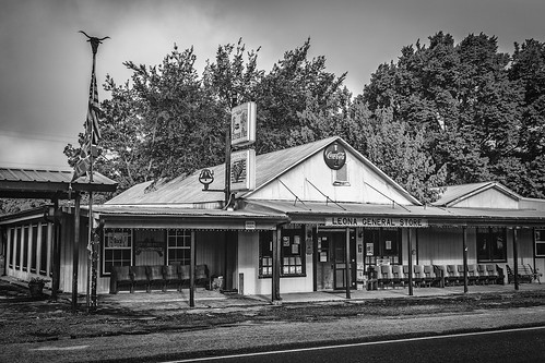
TX-75, Leona, TX, USA
Flynn
Leona
Marquez
Places near Leon County, TX, USA:
Hair Haven
Centerville
209 Opal
209 Opal
TX-75, Leona, TX, USA
Leona
County Road 139
Centerville, TX, USA
5208 Co Rd 364
3813 Hendrix Ln
9695 Wallace Rd
Flynn
County Road 292
Co Rd, Centerville, TX, USA
honeysuckle Dr, Jewett, TX, USA
Jewett
Nucor Steel Jewett
Normangee
Madison County
Farm to Market Rd, Midway, TX, USA
Recent Searches:
- Elevation of Corso Fratelli Cairoli, 35, Macerata MC, Italy
- Elevation of Tallevast Rd, Sarasota, FL, USA
- Elevation of 4th St E, Sonoma, CA, USA
- Elevation of Black Hollow Rd, Pennsdale, PA, USA
- Elevation of Oakland Ave, Williamsport, PA, USA
- Elevation of Pedrógão Grande, Portugal
- Elevation of Klee Dr, Martinsburg, WV, USA
- Elevation of Via Roma, Pieranica CR, Italy
- Elevation of Tavkvetili Mountain, Georgia
- Elevation of Hartfords Bluff Cir, Mt Pleasant, SC, USA
