Elevation of Co Rd, Centerville, TX, USA
Location: United States > Texas > Leon County > Centerville >
Longitude: -95.817372
Latitude: 31.3239156
Elevation: 105m / 344feet
Barometric Pressure: 100KPa
Elevation Map:
Satellite Map:
Related Photos:
Morning in Centerville

DJ Baker Family

trinity river lock and dam
Critter's Lodge
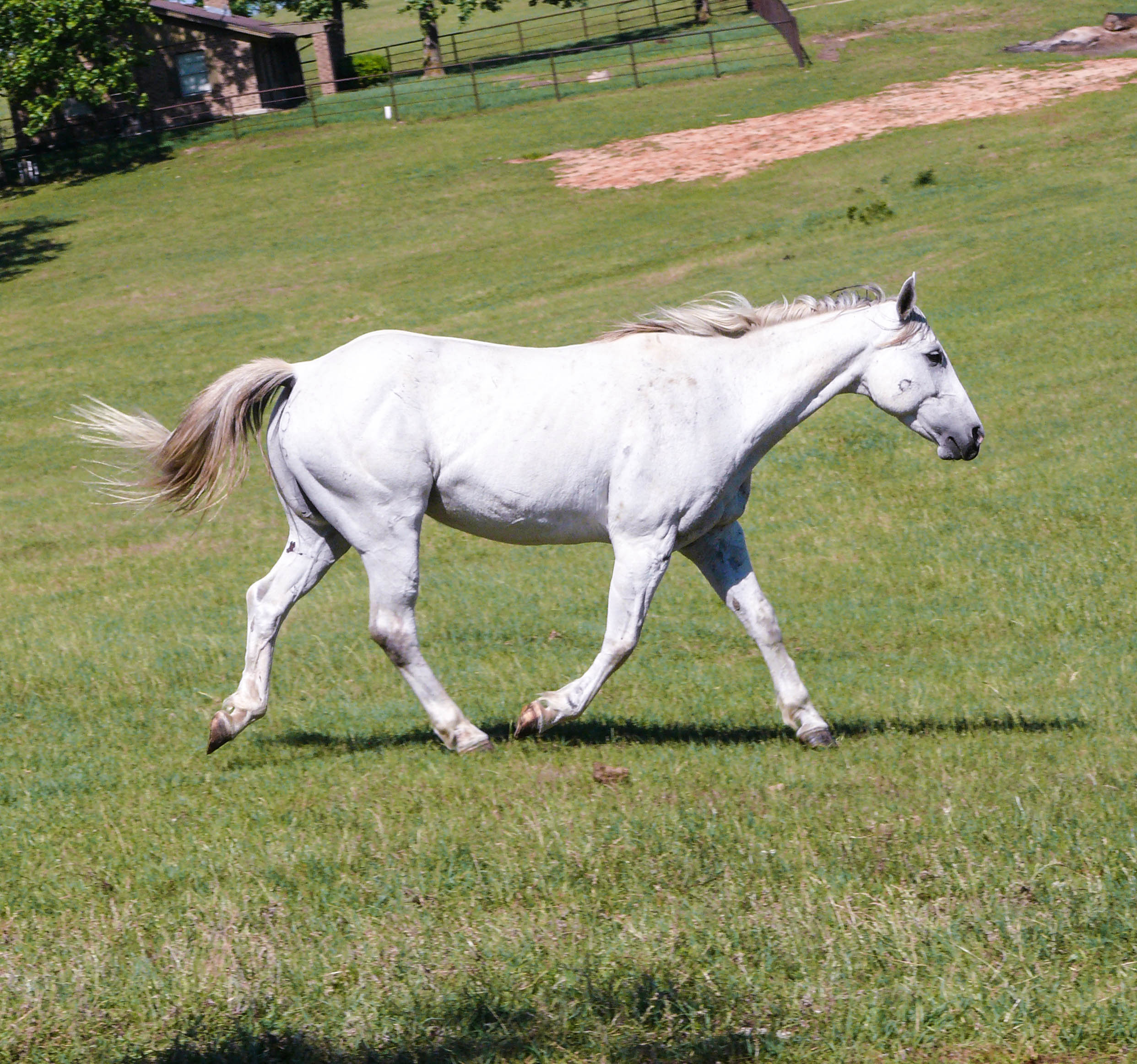
White Horse

P1080308.jpg

White and Brown Horse

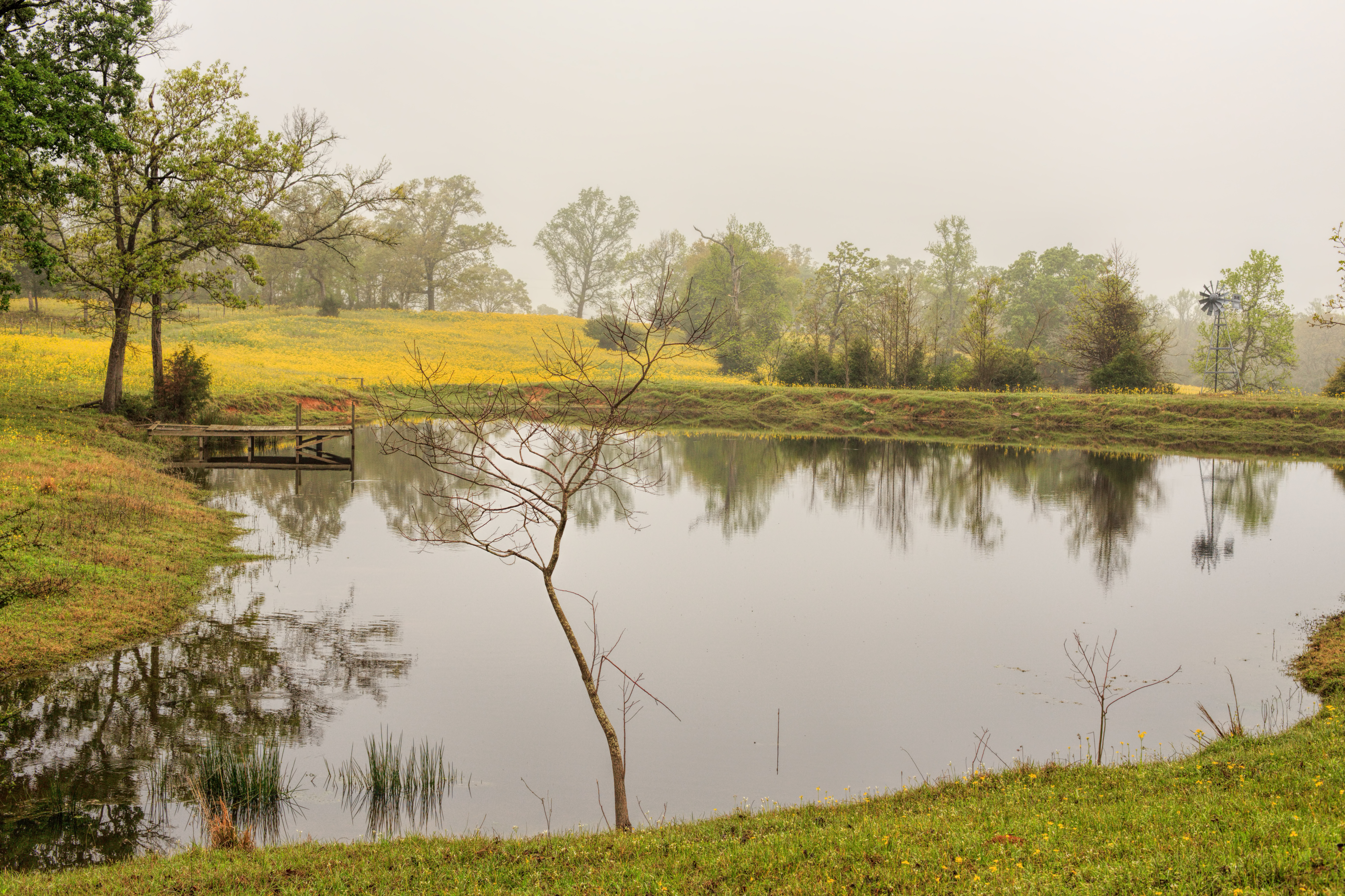
Reflecting Pond
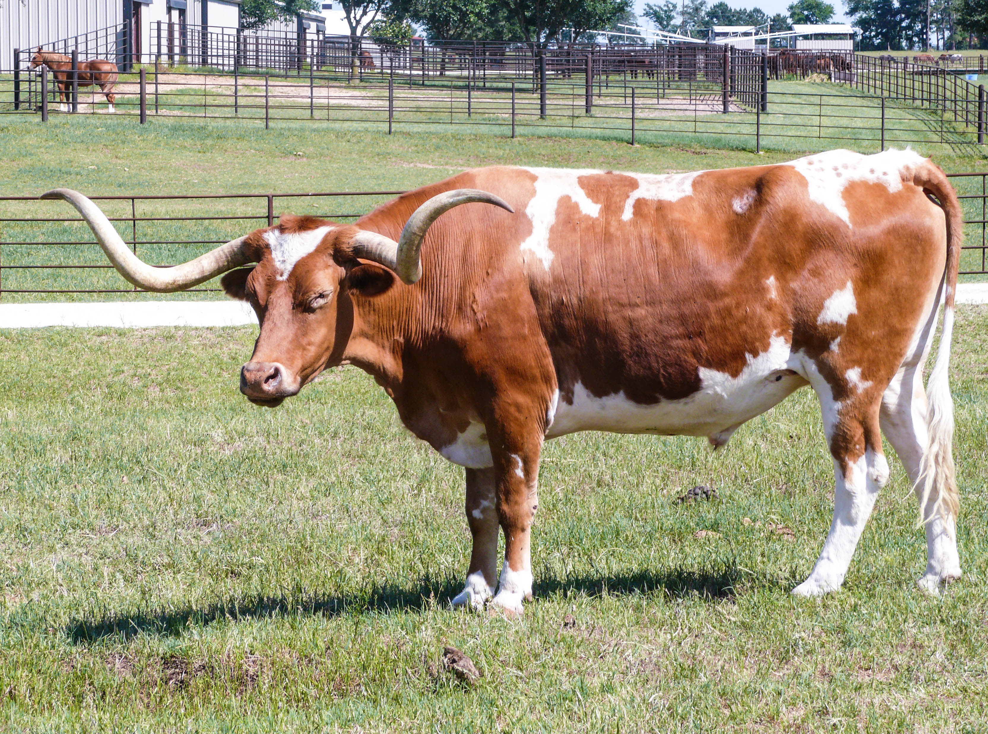
Twisty Longhorn

Playing games with her cousins.

Old school!!

Bark (13/366)

Daniel Elijah Sunset

EDB Smile1

EDB Smile2

EDB Smile
Topographic Map of Co Rd, Centerville, TX, USA
Find elevation by address:

Places near Co Rd, Centerville, TX, USA:
Centerville, TX, USA
County Road 292
Hair Haven
209 Opal
209 Opal
Centerville
FM, Crockett, TX, USA
County Road 139
Leon County
TX-75, Leona, TX, USA
Leona
5208 Co Rd 364
FM, Buffalo, TX, USA
9695 Wallace Rd
290 Acr 120
TX-21, Crockett, TX, USA
Farm to Market Rd, Midway, TX, USA
Oakwood
Love St, Oakwood, TX, USA
Old Buffalo Rd & Center St
Recent Searches:
- Elevation of Corso Fratelli Cairoli, 35, Macerata MC, Italy
- Elevation of Tallevast Rd, Sarasota, FL, USA
- Elevation of 4th St E, Sonoma, CA, USA
- Elevation of Black Hollow Rd, Pennsdale, PA, USA
- Elevation of Oakland Ave, Williamsport, PA, USA
- Elevation of Pedrógão Grande, Portugal
- Elevation of Klee Dr, Martinsburg, WV, USA
- Elevation of Via Roma, Pieranica CR, Italy
- Elevation of Tavkvetili Mountain, Georgia
- Elevation of Hartfords Bluff Cir, Mt Pleasant, SC, USA