Elevation of FM, Normangee, TX, USA
Location: United States > Texas > Madison County > Normangee >
Longitude: -96.006706
Latitude: 30.9673258
Elevation: 106m / 348feet
Barometric Pressure: 100KPa
Elevation Map:
Satellite Map:
Related Photos:
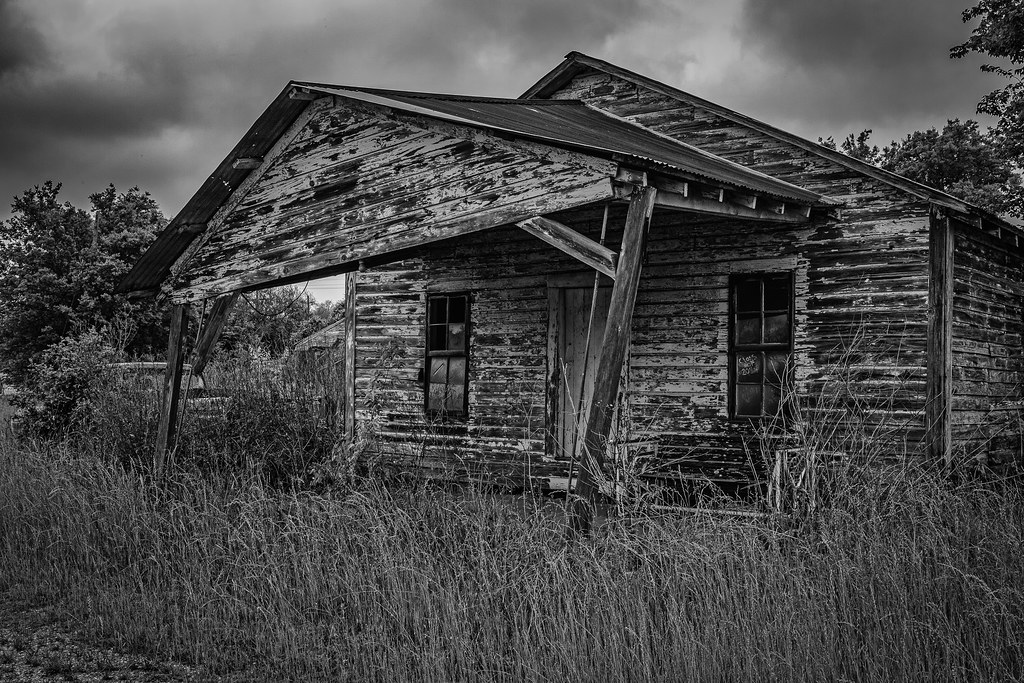
Abandoned Gas Station - North Zulch

Texas Bluebonnets

Carpenter Bee

Spring Wildflowers

TX Burger

Walkers Cafe

Shroom!
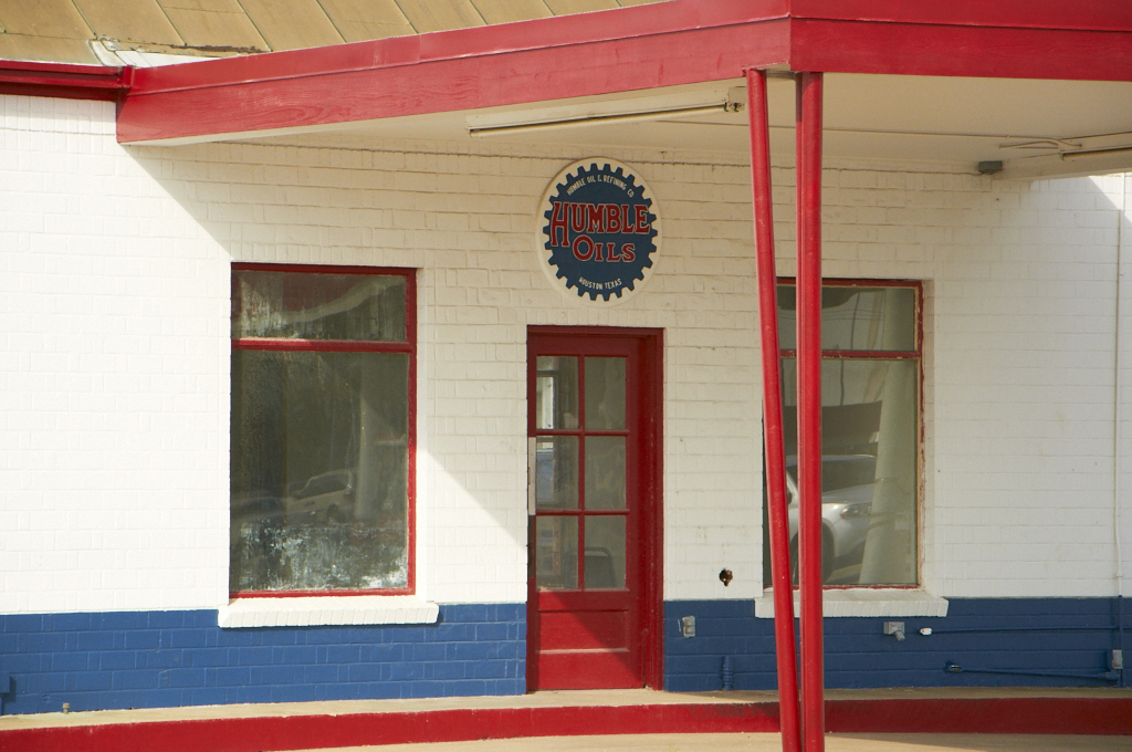
Humble Oils
Old San Antonio Road (Madison County, Texas)

Texas Storm

IMG_7820.CR2
Old San Antonio Road (Madison County, Texas)
Topographic Map of FM, Normangee, TX, USA
Find elevation by address:

Places near FM, Normangee, TX, USA:
Madison County
Madisonville
S May St, Madisonville, TX, USA
FM 39, Normangee, TX, USA
3813 Hendrix Ln
Normangee
Normangee High School
9695 Wallace Rd
Leona
TX-75, Leona, TX, USA
Sunset
County Road 139
Flynn
Farm To Market Road 1428
Farm to Market Rd, Midway, TX, USA
Leon County
Midway
Hair Haven
Centerville
209 Opal
Recent Searches:
- Elevation of Corso Fratelli Cairoli, 35, Macerata MC, Italy
- Elevation of Tallevast Rd, Sarasota, FL, USA
- Elevation of 4th St E, Sonoma, CA, USA
- Elevation of Black Hollow Rd, Pennsdale, PA, USA
- Elevation of Oakland Ave, Williamsport, PA, USA
- Elevation of Pedrógão Grande, Portugal
- Elevation of Klee Dr, Martinsburg, WV, USA
- Elevation of Via Roma, Pieranica CR, Italy
- Elevation of Tavkvetili Mountain, Georgia
- Elevation of Hartfords Bluff Cir, Mt Pleasant, SC, USA