Elevation of Mabini, Bohol, Philippines
Location: Philippines > Central Visayas > Bohol >
Longitude: 124.530683
Latitude: 9.8969072
Elevation: 50m / 164feet
Barometric Pressure: 101KPa
Elevation Map:
Satellite Map:
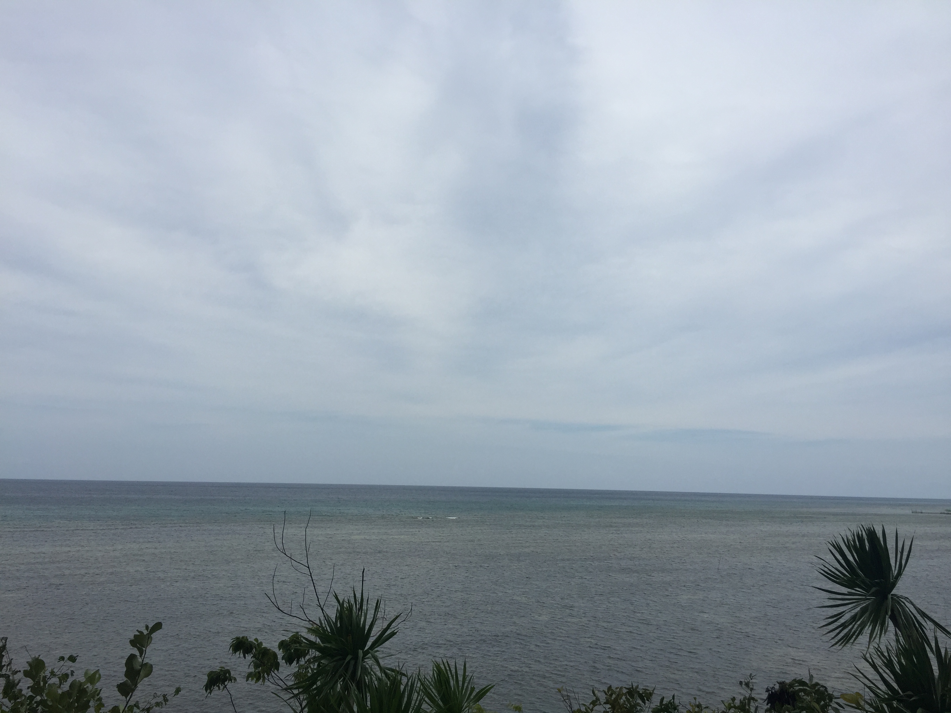
Related Photos:

Time to relax

Place to be

Lamanok Mystique ????

Before the rise

Candijay travel guide will up in the blog soon featuring Can-Umantad Falls & Cadapdapan Rice Terraces. Link in my bio! #Candijay #Bohol #Philippines #waterfalls

I summon the aeon Leviathan to flood these scorched mountains lol... Can-Umantad Falls is a marvel to behold. It towers around 60 feet and is known to be the highest waterfall in the province of Bohol. Getting here ain't easy and with the competition of t

Sunshine!

Lamanok Mystique ????
Lamanok Mystique ????

Can-umantad_
Topographic Map of Mabini, Bohol, Philippines
Find elevation by address:

Places in Mabini, Bohol, Philippines:
Places near Mabini, Bohol, Philippines:
Lungsoda-an
Benliw
Ubay
San Miguel
Dagohoy
San Carlos
Rizal Elementary School
Rizal
Talibon
Bohol
Caningag
Esperanza - Caningag
Sagbayan
Matalom
Matin-ao
President Garcia
Caningag Primary School
Cansirong
Matalom North Central School (primary)
San Salvador
Recent Searches:
- Elevation of Corso Fratelli Cairoli, 35, Macerata MC, Italy
- Elevation of Tallevast Rd, Sarasota, FL, USA
- Elevation of 4th St E, Sonoma, CA, USA
- Elevation of Black Hollow Rd, Pennsdale, PA, USA
- Elevation of Oakland Ave, Williamsport, PA, USA
- Elevation of Pedrógão Grande, Portugal
- Elevation of Klee Dr, Martinsburg, WV, USA
- Elevation of Via Roma, Pieranica CR, Italy
- Elevation of Tavkvetili Mountain, Georgia
- Elevation of Hartfords Bluff Cir, Mt Pleasant, SC, USA