Elevation of Lumber Rd, Society Hill, SC, USA
Location: United States > South Carolina > Darlington County >
Longitude: -79.806529
Latitude: 34.458923
Elevation: 26m / 85feet
Barometric Pressure: 101KPa
Elevation Map:
Satellite Map:
Related Photos:

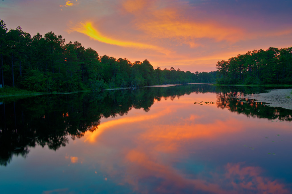
Lake Westwood
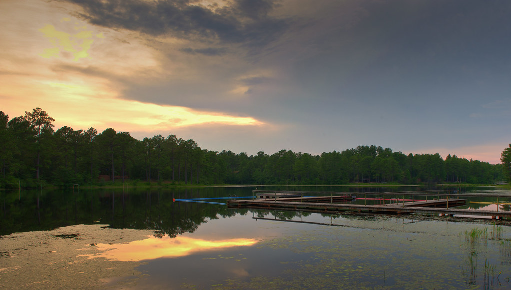
Lake Westwood
Camp Coker

Corn Maze, Pim's Farm 01
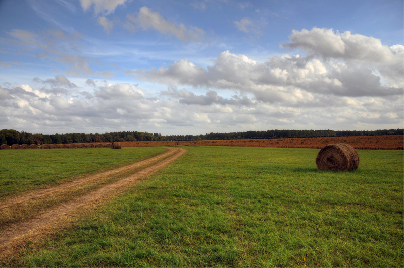
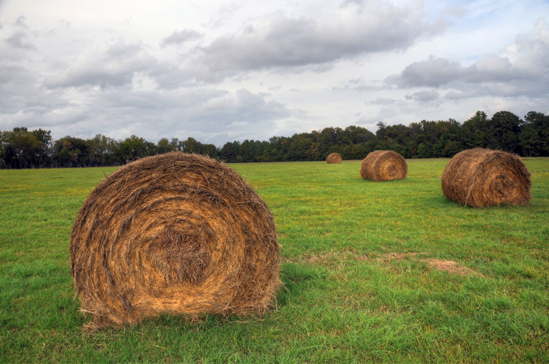
Pim's Farm 06
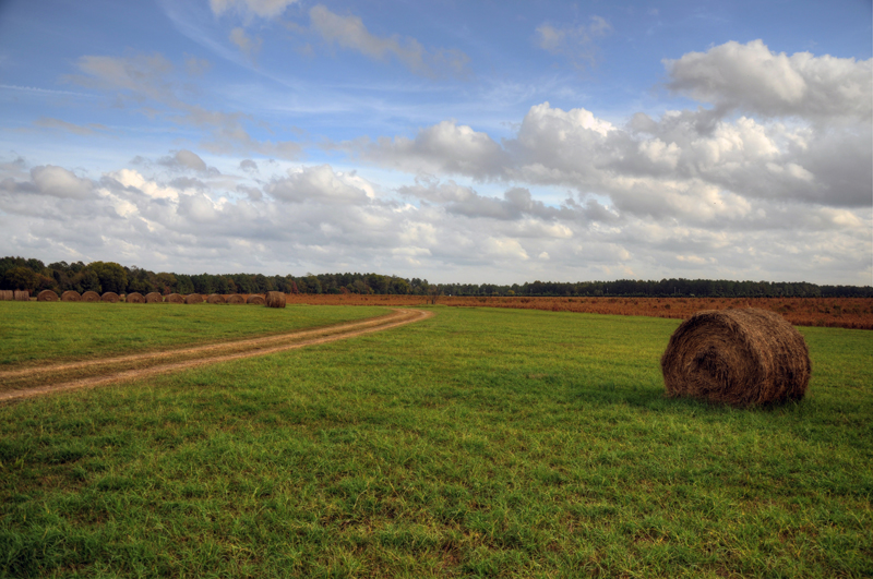
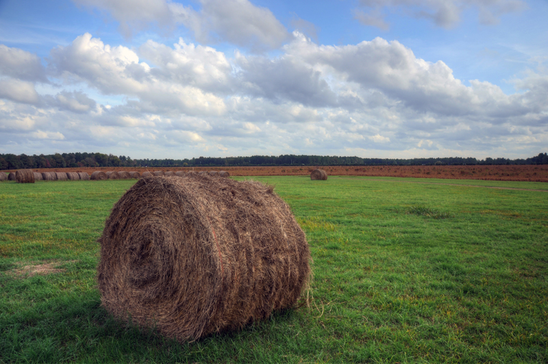
Pim's Farm 07
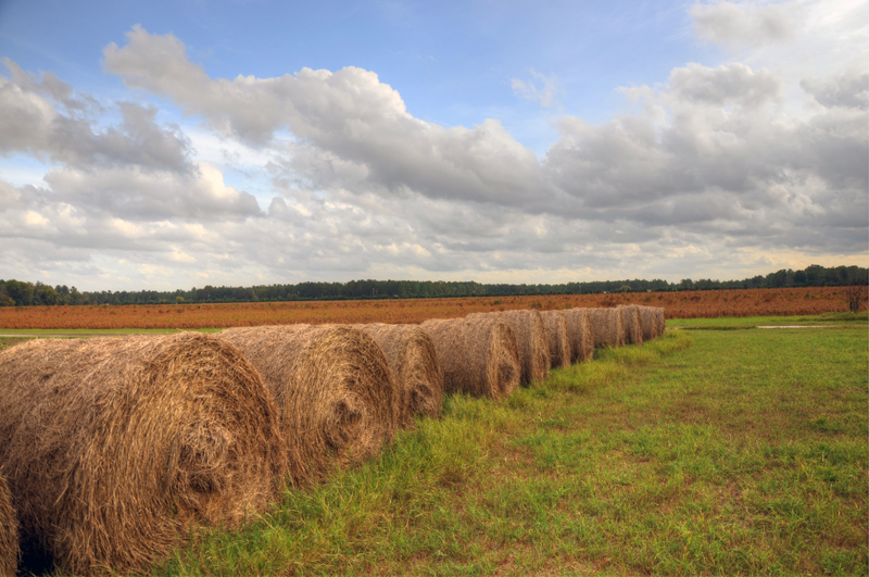
Pim's Farm 14
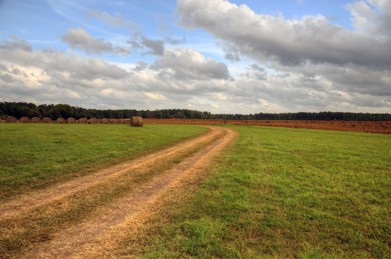
Pim's Farm 16
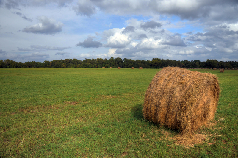
Pim's Farm 01
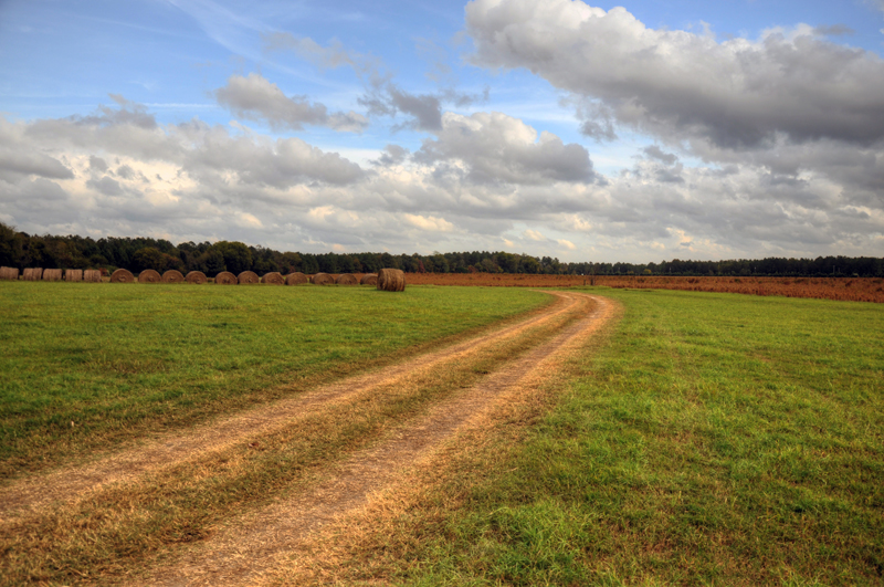
Pim's Farm 17
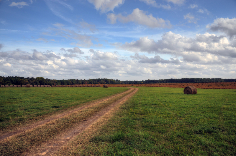
Pim's Farm 05
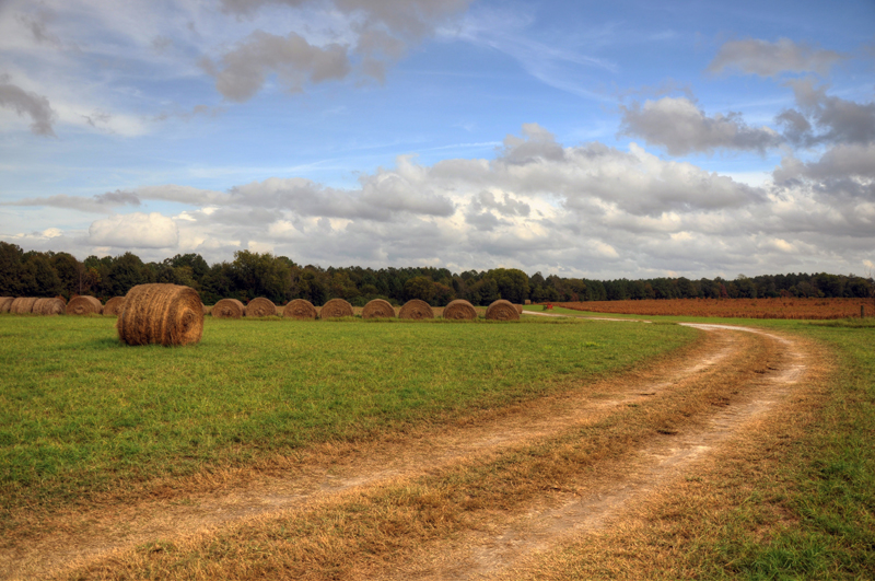
Pim's Farm 15
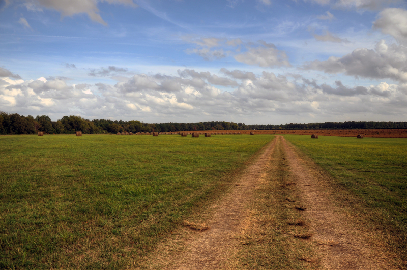
Pim's Farm 02
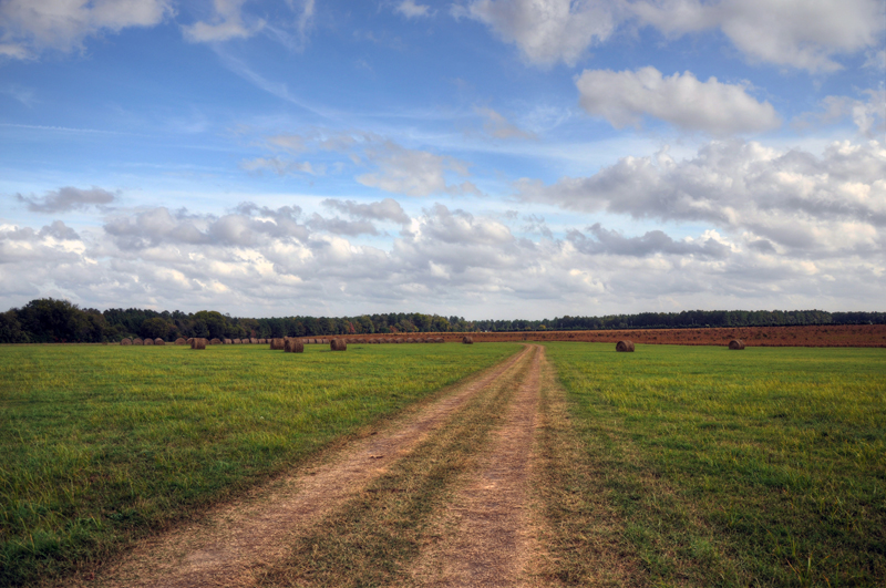
Pim's Farm 04
Pim's Farm 08

Pim's Farm 03
Pim's Farm 10

phone dump

Double D Motel Cabins, Marlboro County
Topographic Map of Lumber Rd, Society Hill, SC, USA
Find elevation by address:

Places near Lumber Rd, Society Hill, SC, USA:
Society Hill
1113 Cashua Ferry Rd
Drake Rd, Blenheim, SC, USA
Dogwood Ave, Darlington, SC, USA
101 Oklahoma Dr
Marlboro County
Forest Dr, Darlington, SC, USA
S Main St, Blenheim, SC, USA
Blenheim
Woodcreek Road
777 S-35-589
South Dargan Street
Darlington
Auburn School Road
Golden Run Restaurant
Bennettsville
113 Mary Ln
2536 Holly Cir
State Rd S-35-, Bennettsville, SC, USA
104 Will G St
Recent Searches:
- Elevation of Corso Fratelli Cairoli, 35, Macerata MC, Italy
- Elevation of Tallevast Rd, Sarasota, FL, USA
- Elevation of 4th St E, Sonoma, CA, USA
- Elevation of Black Hollow Rd, Pennsdale, PA, USA
- Elevation of Oakland Ave, Williamsport, PA, USA
- Elevation of Pedrógão Grande, Portugal
- Elevation of Klee Dr, Martinsburg, WV, USA
- Elevation of Via Roma, Pieranica CR, Italy
- Elevation of Tavkvetili Mountain, Georgia
- Elevation of Hartfords Bluff Cir, Mt Pleasant, SC, USA