Elevation of Lower Surrounded Hill Township, AR, USA
Location: United States > Arkansas > Prairie County >
Longitude: -91.424142
Latitude: 34.8320415
Elevation: 55m / 180feet
Barometric Pressure: 101KPa
Elevation Map:
Satellite Map:
Related Photos:

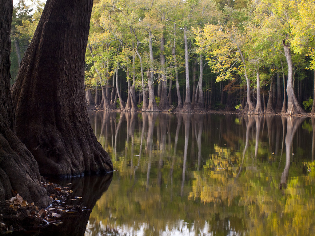
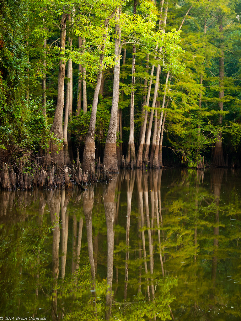
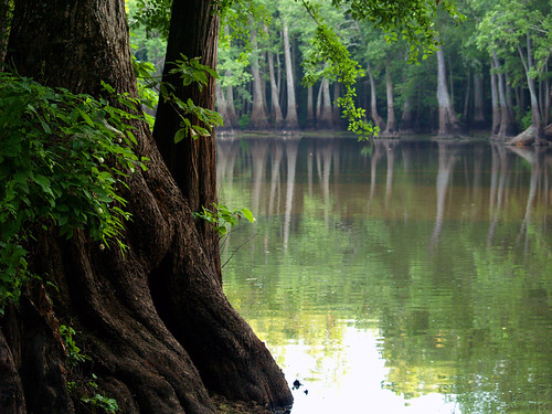
Cache River-Side View
Upshaw Bayou-Deck View
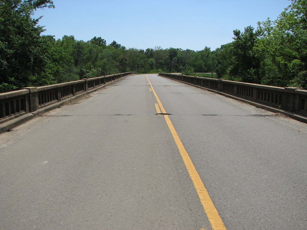
View From The Rail
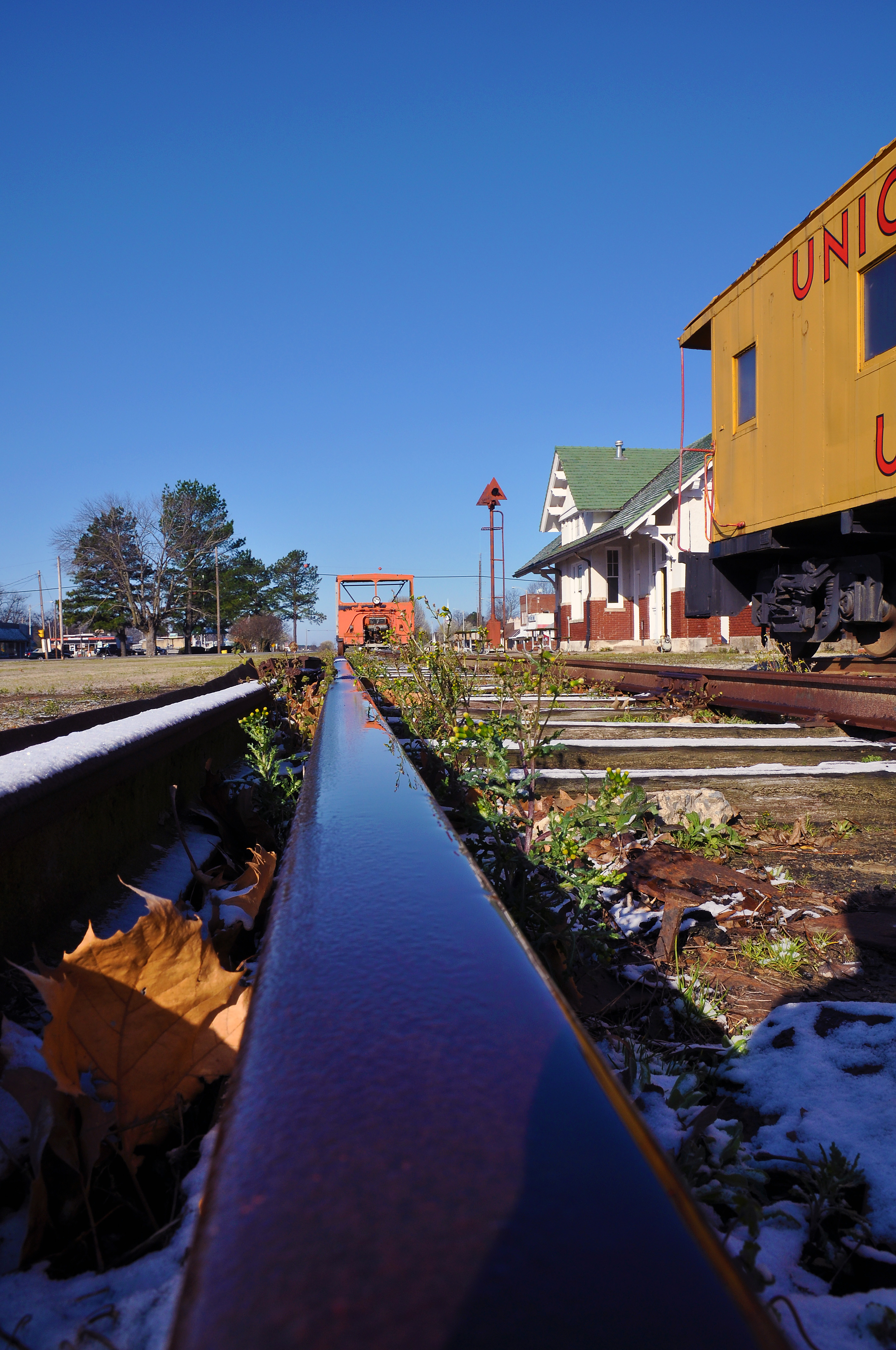
View From The Rail
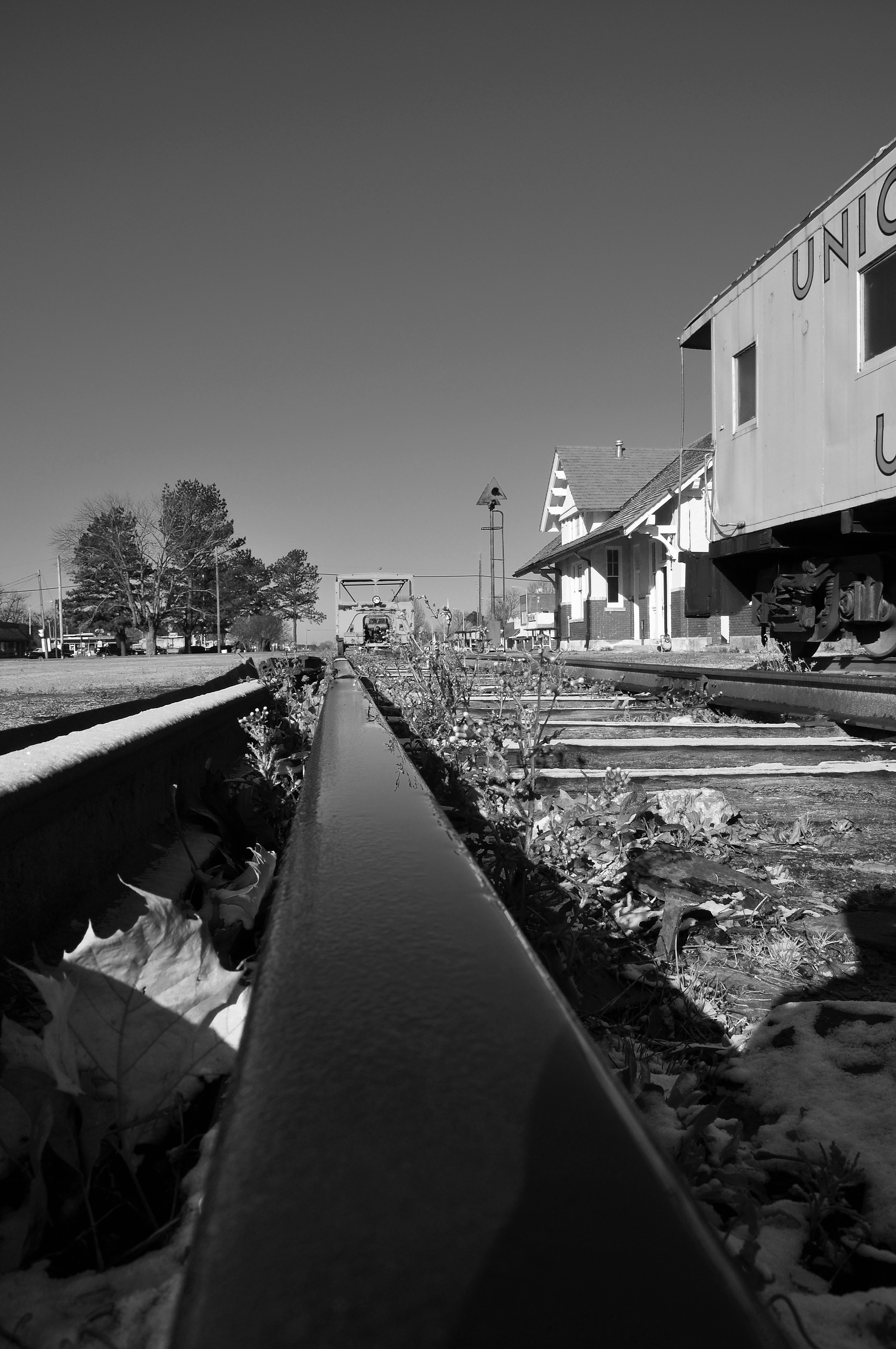
View From The Rail

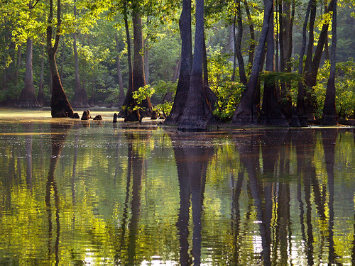
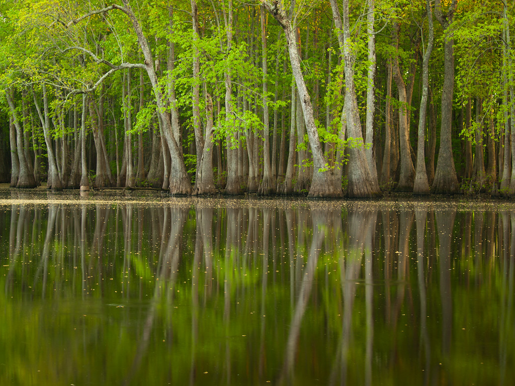
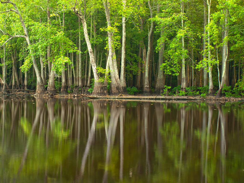
Apple Lake
Apple Lake
Apple Lake
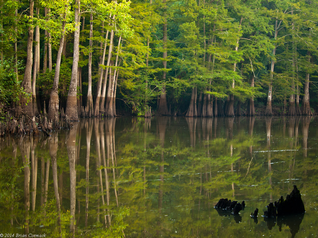
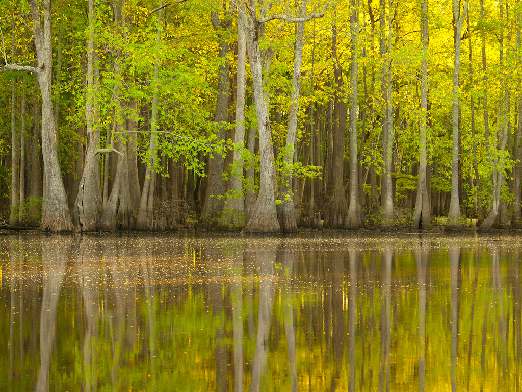
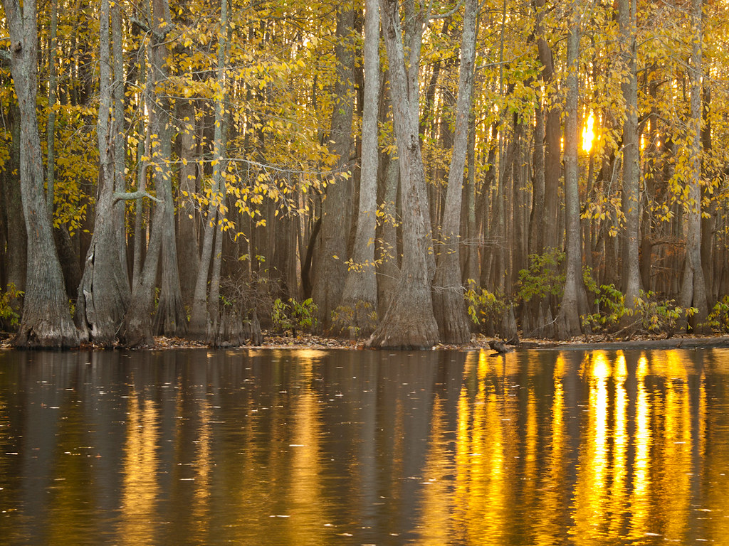
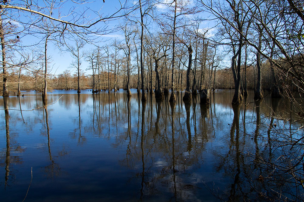
Hickson Lake
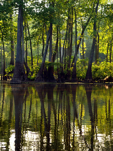
Hickson Lake
Hickson Lake
Hickson Lake
Apple Lake
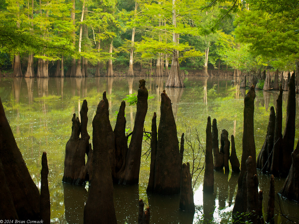
Hickson Lake
Hickson Lake
Hickson Lake
Hickson Lake
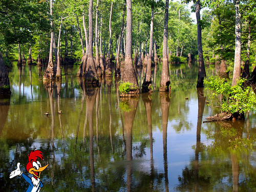
Searching for the Ivory-Billed Woodpecker
Dagmar_0580-copy

Baptisia alba var. macrophylla
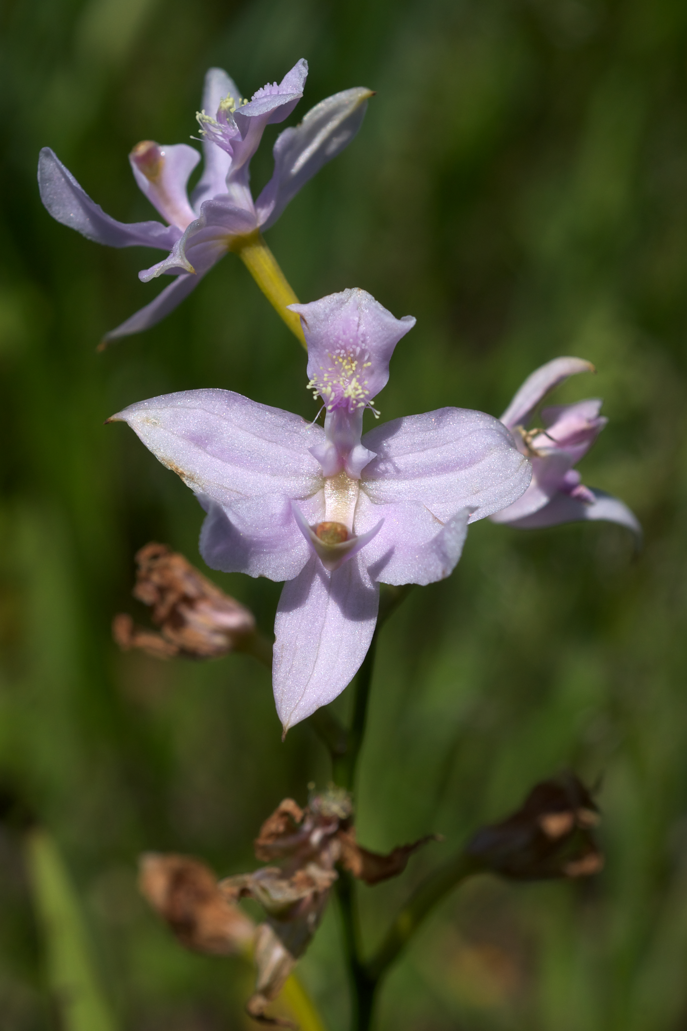
Calopogon oklahomensis
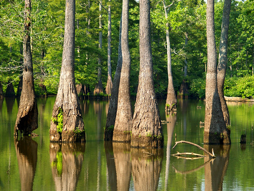
Apple Lake
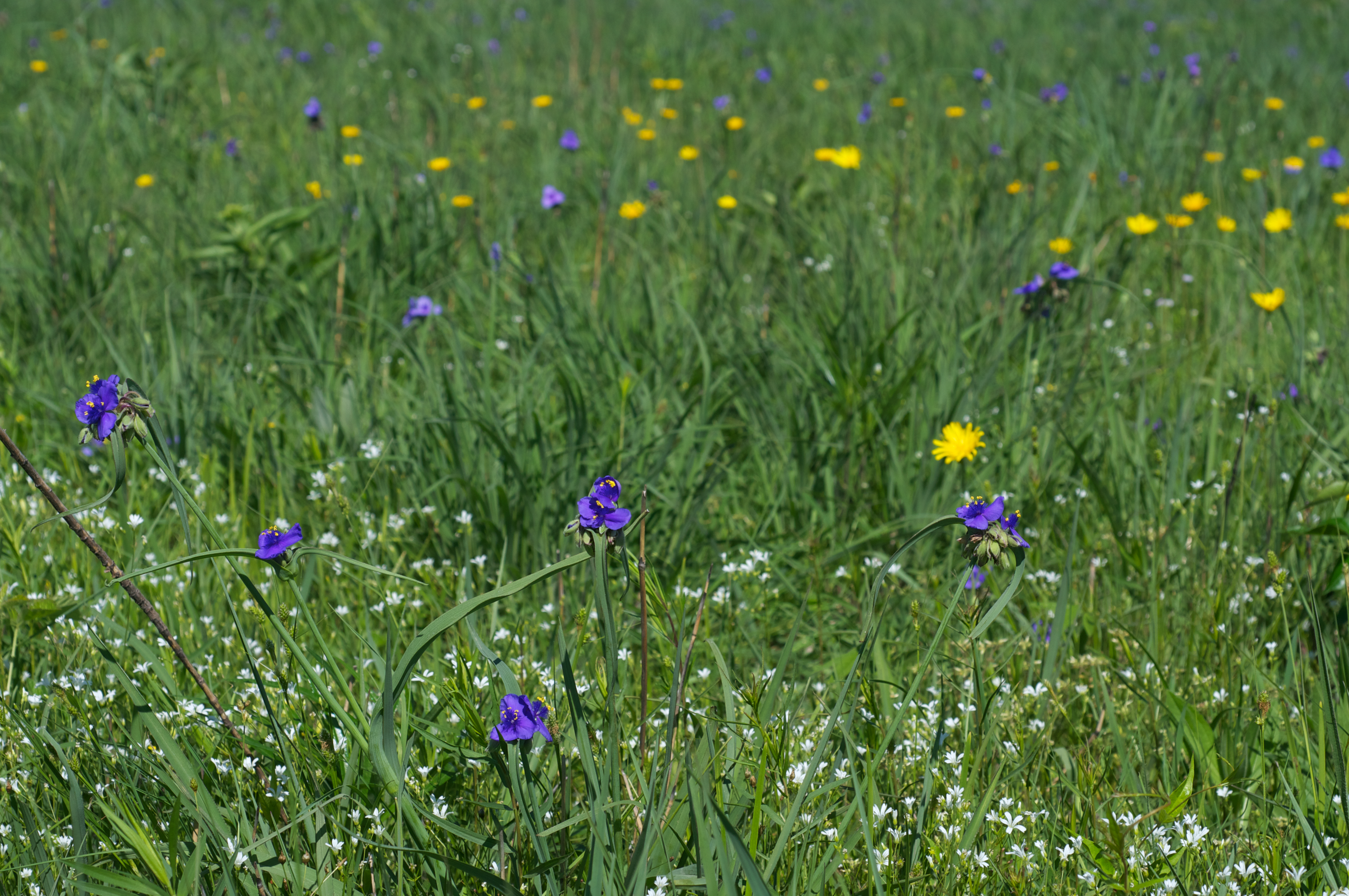
Tradescantia species
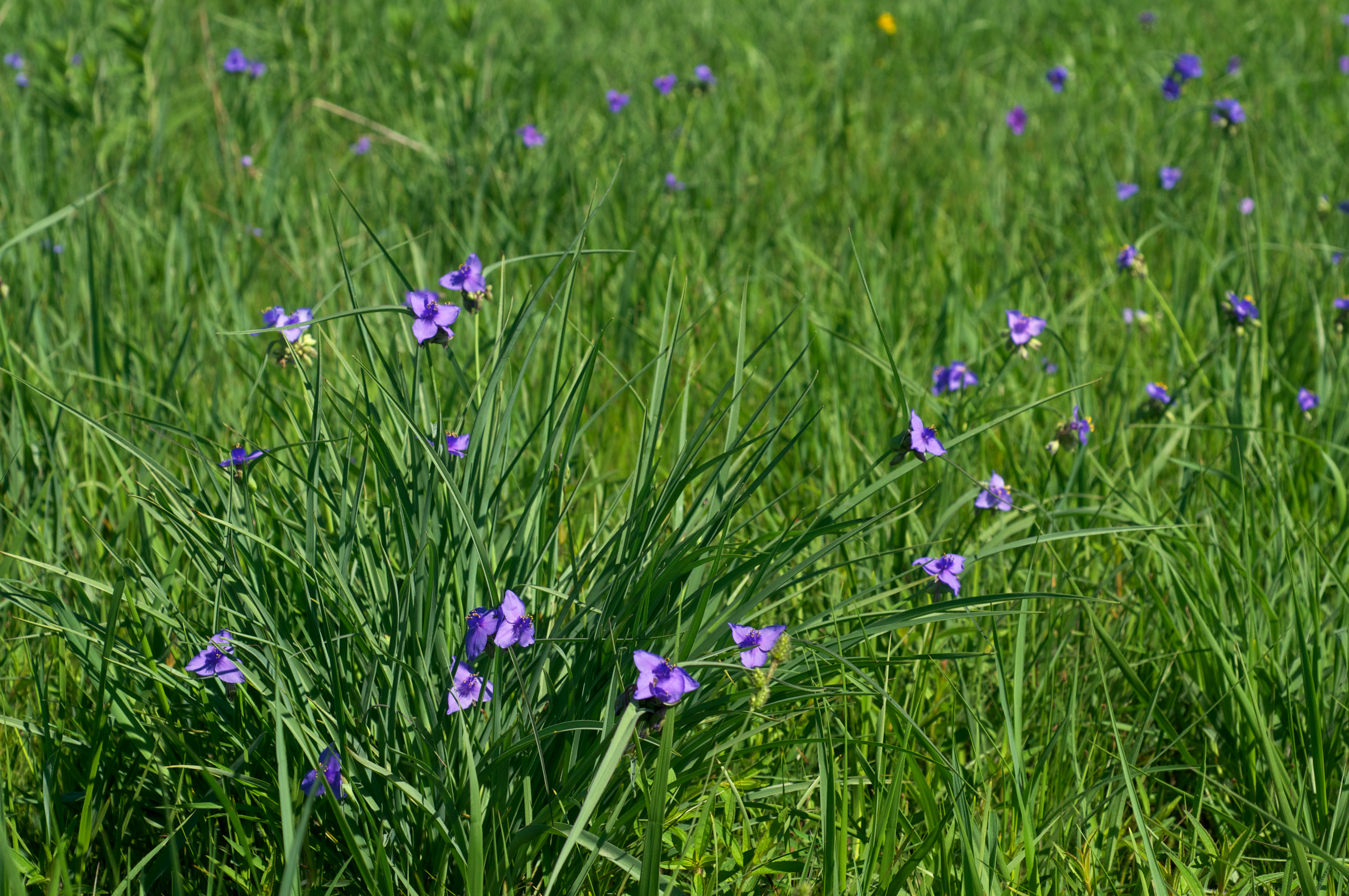
Tradescantia species

Prairie Vista
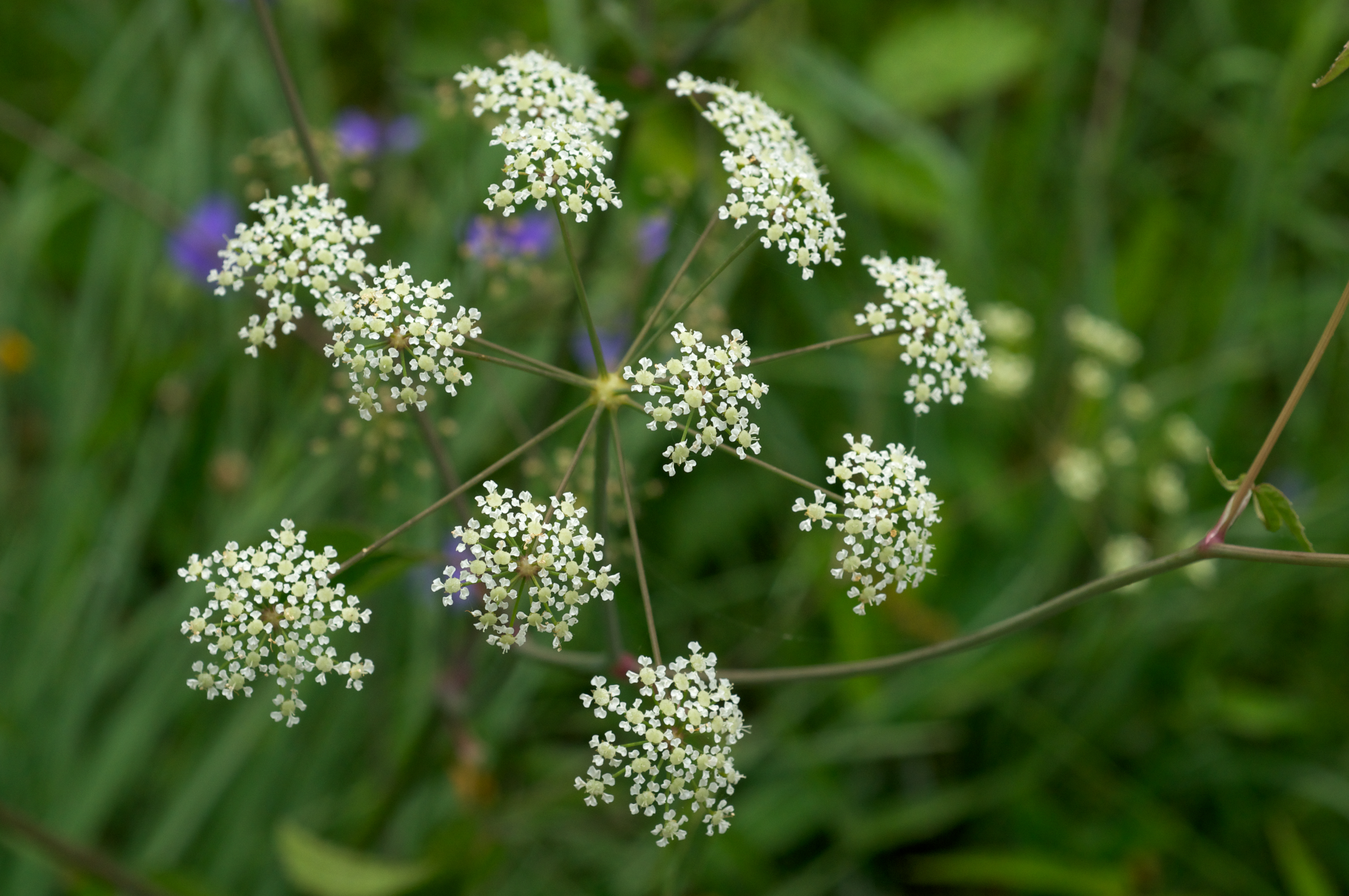
Cicuta maculata
Topographic Map of Lower Surrounded Hill Township, AR, USA
Find elevation by address:

Places in Lower Surrounded Hill Township, AR, USA:
Places near Lower Surrounded Hill Township, AR, USA:
57 Main, De Valls Bluff, AR, USA
De Valls Bluff
US-70, De Valls Bluff, AR, USA
Watensaw Township
Calhoun Township
Arkansas 33
Prairie County
AR-86, Hazen, AR, USA
N Main, Stuttgart, AR, USA
US-70, Carlisle, AR, USA
AR-11, Griffithville, AR, USA
Raborn Road
Carlisle Township
2388 Ar-11
Francure Township
Carlisle, AR, USA
Dogwood Township
Carlisle
Gum Pond Township
AR-11, Searcy, AR, USA
Recent Searches:
- Elevation of Corso Fratelli Cairoli, 35, Macerata MC, Italy
- Elevation of Tallevast Rd, Sarasota, FL, USA
- Elevation of 4th St E, Sonoma, CA, USA
- Elevation of Black Hollow Rd, Pennsdale, PA, USA
- Elevation of Oakland Ave, Williamsport, PA, USA
- Elevation of Pedrógão Grande, Portugal
- Elevation of Klee Dr, Martinsburg, WV, USA
- Elevation of Via Roma, Pieranica CR, Italy
- Elevation of Tavkvetili Mountain, Georgia
- Elevation of Hartfords Bluff Cir, Mt Pleasant, SC, USA