Elevation of Raborn Road, Raborn Rd, Carlisle, AR, USA
Longitude: -91.729345
Latitude: 34.7744262
Elevation: 70m / 230feet
Barometric Pressure: 100KPa
Elevation Map:
Satellite Map:
Related Photos:

Lonoke County Courthouse (Lonoke, Arkansas)

Lonoke Gulf-Side View

US 70 at I-40 - Lonoke, AR
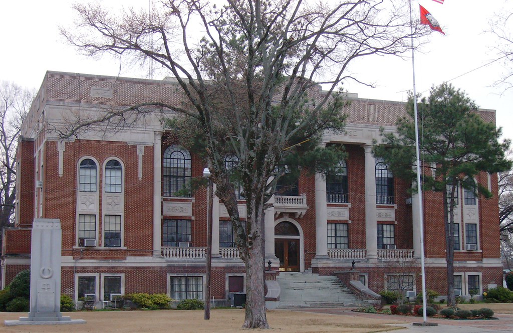
Lonoke County Courthouse (Lonoke, Arkansas)

View From The Rail

View From The Rail

View From The Rail

Carlisle, AR Depot

Second Base

#pictapgo_app #maternity #goldenlight #arkansasphotographer #beautifulbabyboy #beautifulbelly

#sunset #harvest #johndeere #soybeans #reflection #ourpond

#stormy #cloudy #CloudFormations #Arkansas #arwx
Topographic Map of Raborn Road, Raborn Rd, Carlisle, AR, USA
Find elevation by address:

Places near Raborn Road, Raborn Rd, Carlisle, AR, USA:
Carlisle Township
Carlisle
US-70, Carlisle, AR, USA
Carlisle, AR, USA
US-70, Carlisle, AR, USA
Prairie County
Lonoke, AR, USA
Lonoke Township
Lonoke
625 W Ash St
Snake Island Rd, Carlisle, AR, USA
Lonoke County
AR-86, Hazen, AR, USA
Hwy 31, Austin, AR, USA
Hwy 31, Lonoke, AR, USA
Isbell Township
AR-38, Des Arc, AR, USA
Butler Township
Richwoods Township
AR-38, Ward, AR, USA
Recent Searches:
- Elevation of Corso Fratelli Cairoli, 35, Macerata MC, Italy
- Elevation of Tallevast Rd, Sarasota, FL, USA
- Elevation of 4th St E, Sonoma, CA, USA
- Elevation of Black Hollow Rd, Pennsdale, PA, USA
- Elevation of Oakland Ave, Williamsport, PA, USA
- Elevation of Pedrógão Grande, Portugal
- Elevation of Klee Dr, Martinsburg, WV, USA
- Elevation of Via Roma, Pieranica CR, Italy
- Elevation of Tavkvetili Mountain, Georgia
- Elevation of Hartfords Bluff Cir, Mt Pleasant, SC, USA