Elevation of Louisiana Ave, Bogalusa, LA, USA
Location: United States > Louisiana > Washington Parish > > Bogalusa >
Longitude: -89.849605
Latitude: 30.7910472
Elevation: 30m / 98feet
Barometric Pressure: 101KPa
Elevation Map:
Satellite Map:
Related Photos:

Coburn Creek-Side View
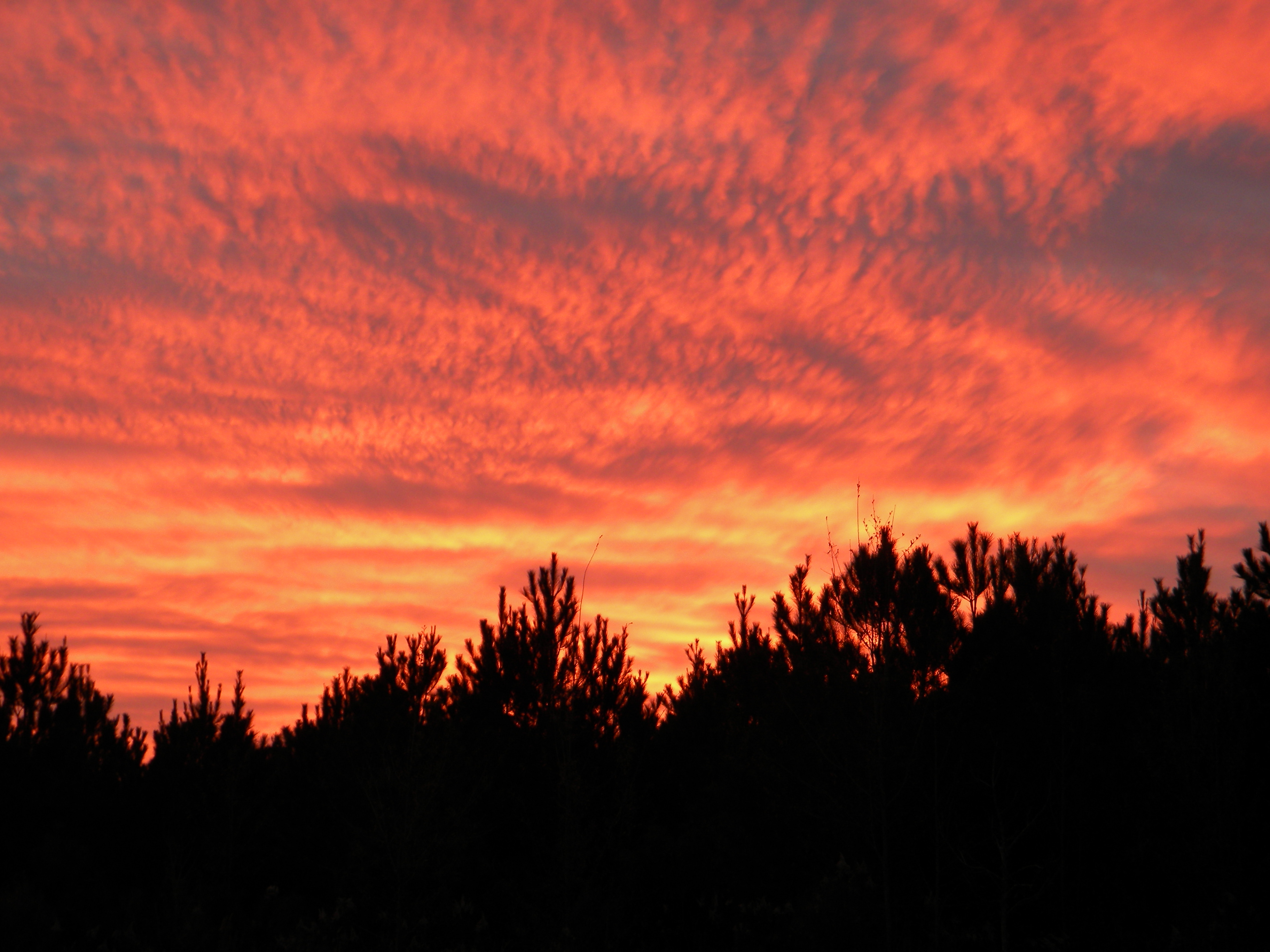
Sunset in Sun,LA

a sandbar beautiful camps pearl river_BLD6495

a pooles bluff sill pearl river_BLD6476

a IMG_1002 pretty sandbar nice color pearl river

a pooles bluff_BLD6479

a pretty bend_BLD6488

a paper mill_BLD6491

a pretty pearl river oxbow_BLD6502

a pearl river pretty bends beautiful_BLD6498

a IMG_0965 slough fills with willow

The bogue

River Instability --logjam with camp

a IMG_0974 willow marks a newly filled slough
Topographic Map of Louisiana Ave, Bogalusa, LA, USA
Find elevation by address:

Places near Louisiana Ave, Bogalusa, LA, USA:
Bogalusa
604 Caston Ave
630 Ave D
3, LA, USA
690 Quave Rd
MS-26, Poplarville, MS, USA
23242 Old Columbia Rd
23242 Old Columbia Rd
23242 Old Columbia Rd
4, LA, USA
57573 Spring Valley Rd
57807 Spring Valley Rd
106 Ramsey-hall Rd
7614 Ms-43
25639 Coleman St
2, LA, USA
38 Uncle Pete Rd
1, LA, USA
160 Bear Dr
98 Quitman Perry Rd
Recent Searches:
- Elevation of Corso Fratelli Cairoli, 35, Macerata MC, Italy
- Elevation of Tallevast Rd, Sarasota, FL, USA
- Elevation of 4th St E, Sonoma, CA, USA
- Elevation of Black Hollow Rd, Pennsdale, PA, USA
- Elevation of Oakland Ave, Williamsport, PA, USA
- Elevation of Pedrógão Grande, Portugal
- Elevation of Klee Dr, Martinsburg, WV, USA
- Elevation of Via Roma, Pieranica CR, Italy
- Elevation of Tavkvetili Mountain, Georgia
- Elevation of Hartfords Bluff Cir, Mt Pleasant, SC, USA