Elevation of Lorraine, NY, USA
Location: United States > New York > Jefferson County > Lorraine > Lorraine >
Longitude: -75.923097
Latitude: 43.7335844
Elevation: 384m / 1260feet
Barometric Pressure: 97KPa
Elevation Map:
Satellite Map:
Related Photos:
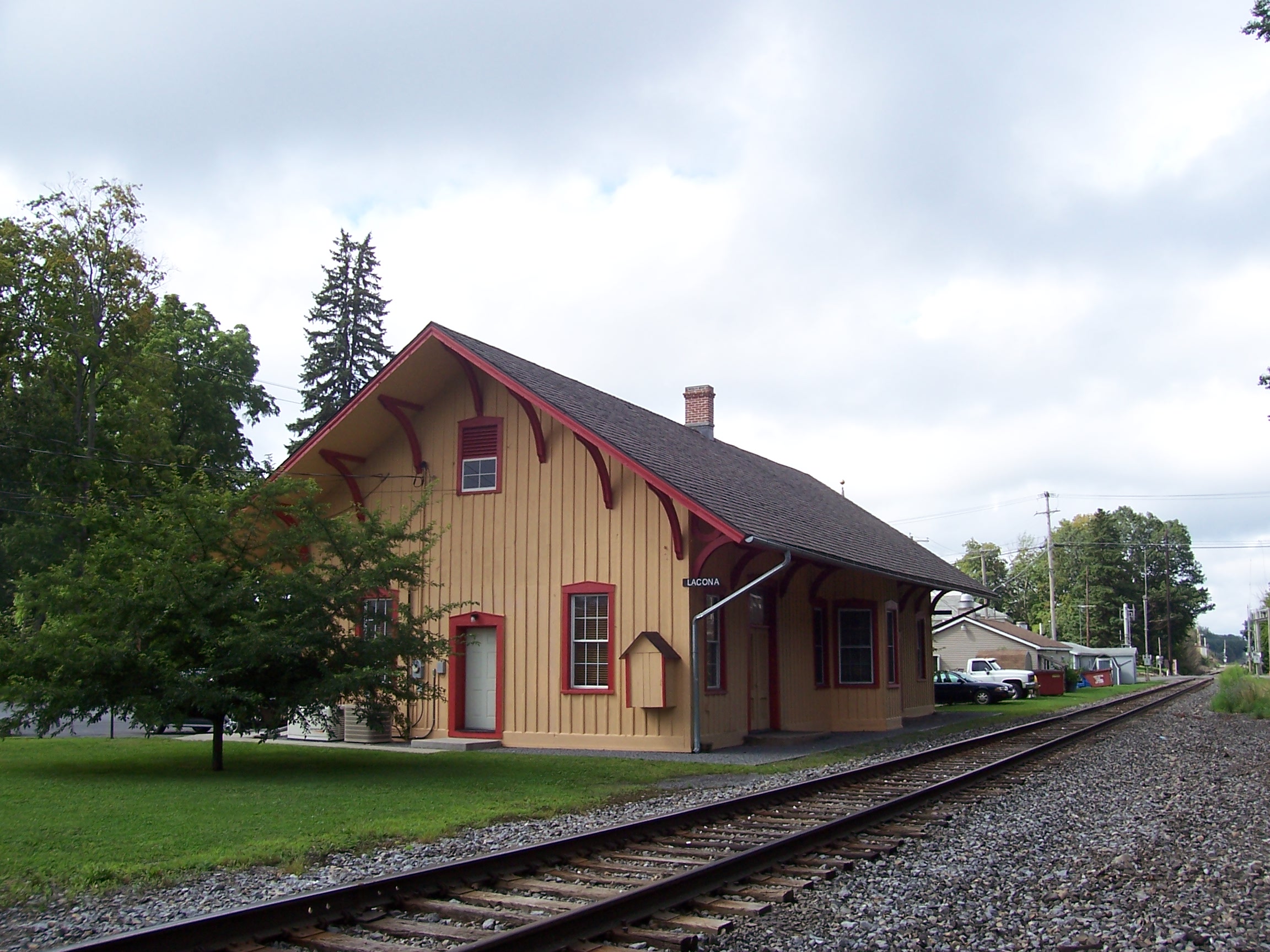
New York Central Station, Lacona, NY

Passanger & Freight Station, Lacona, NY
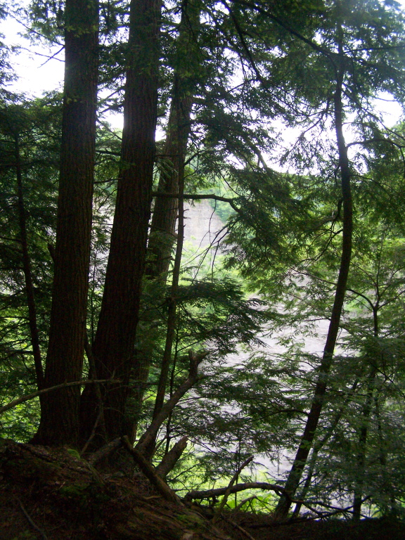
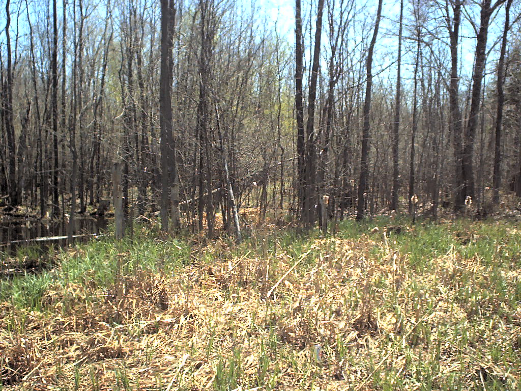
More Trees Blocking Views Into Gulf
P1000060 View from potential building site at western edge of Lot 23dot07 CR 15 Boylston NY

After Sunset

Looking Up

Walking at Inman Gulf
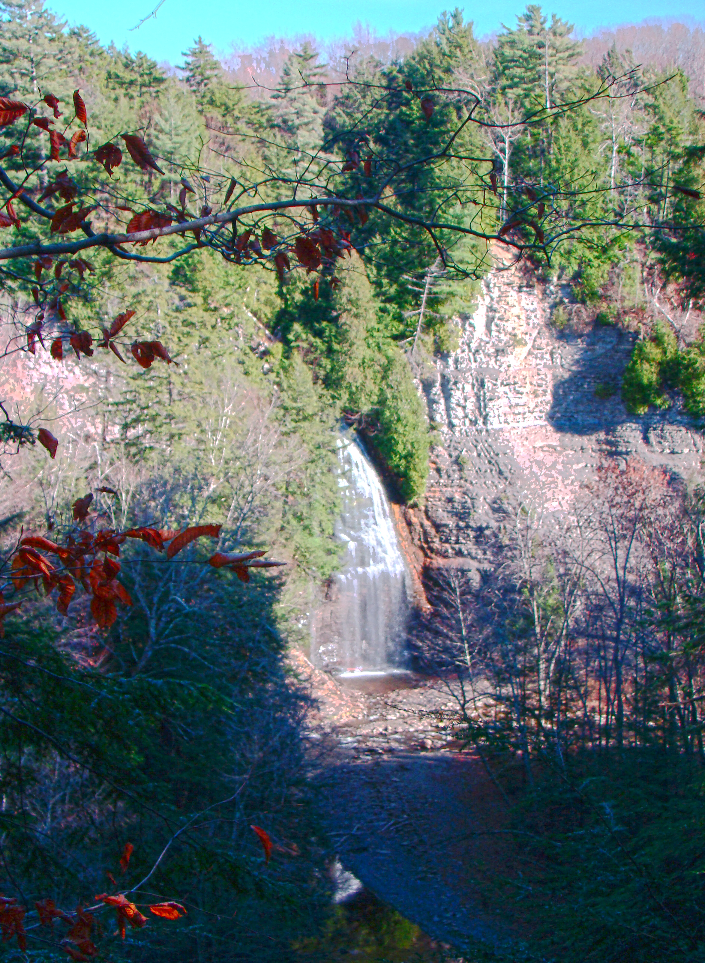
Rainbow Falls HDR
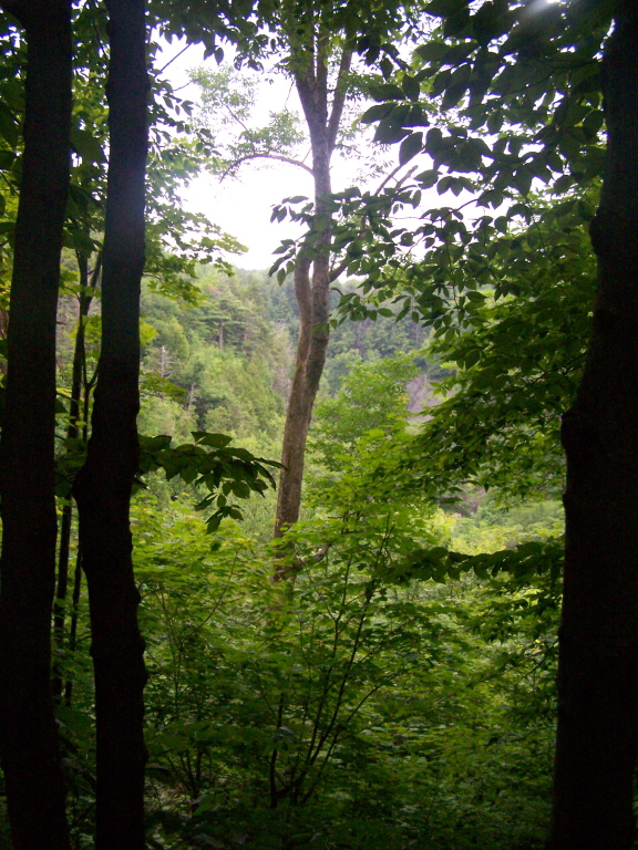
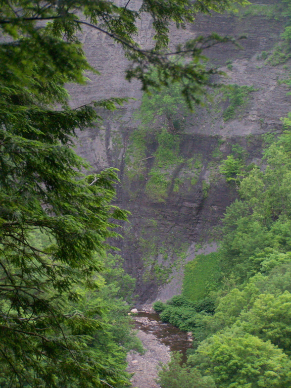
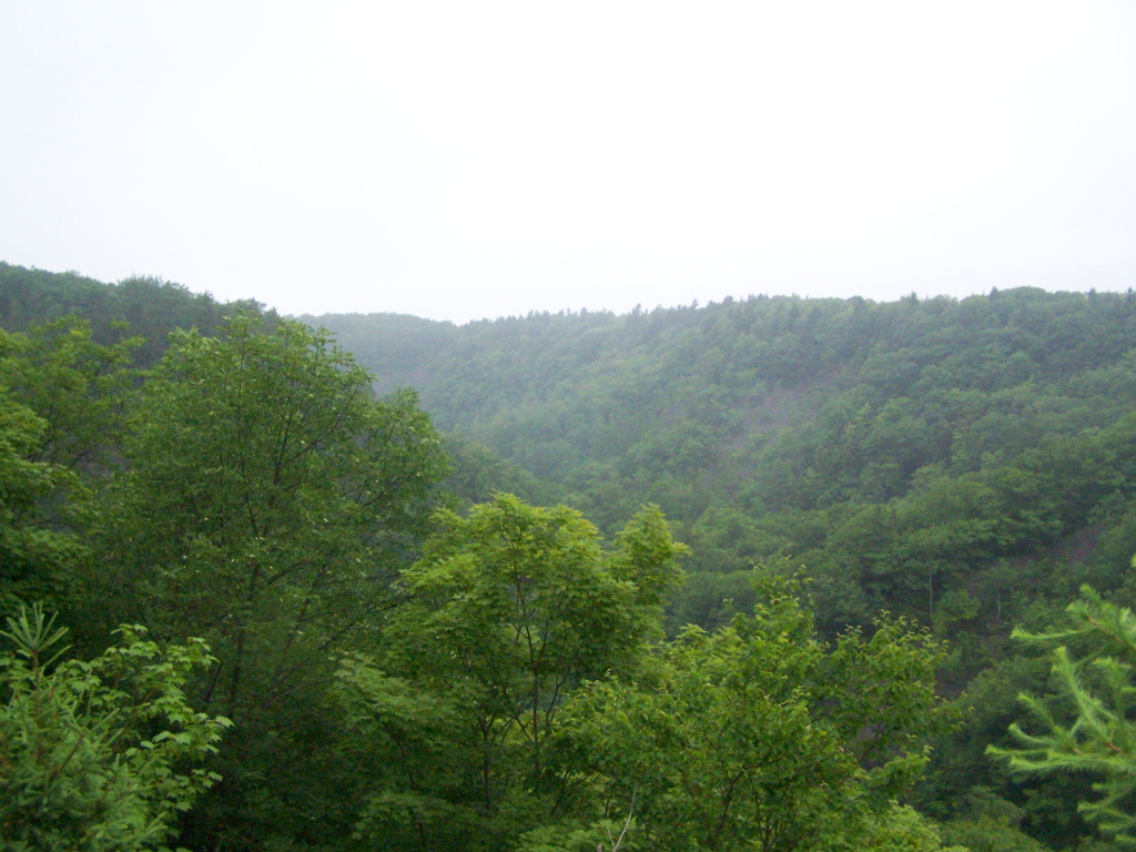
Peering Into the Gulf
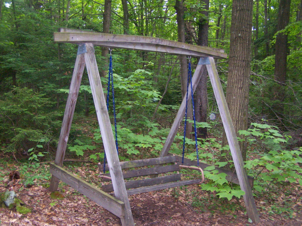
Swing Along Oak Ridge Trail
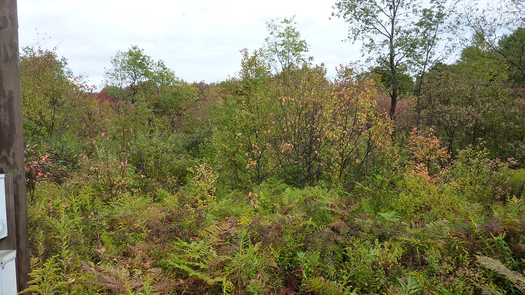
The Gulf
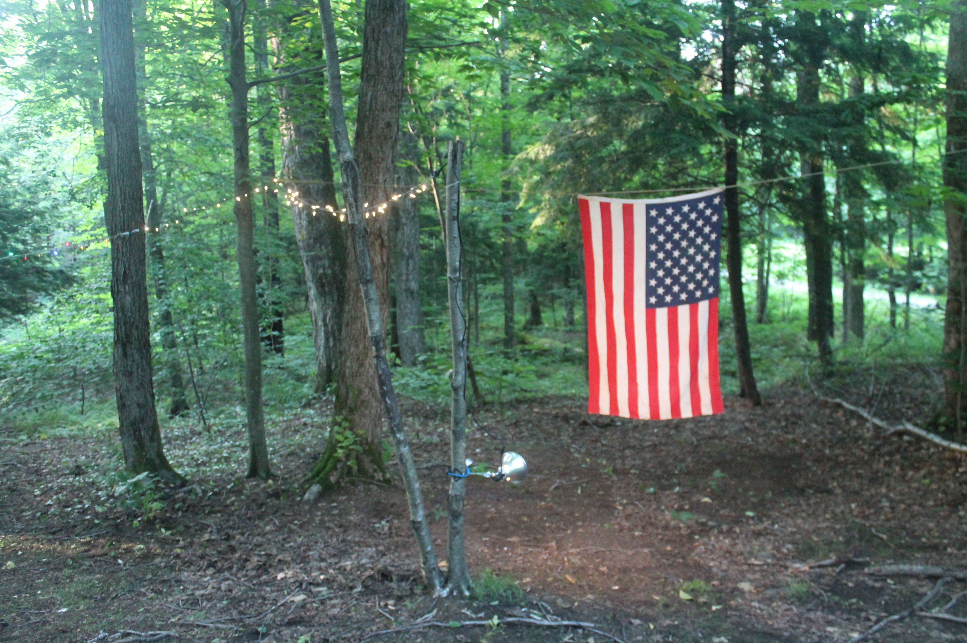
Trying Out My New Backlit Flag
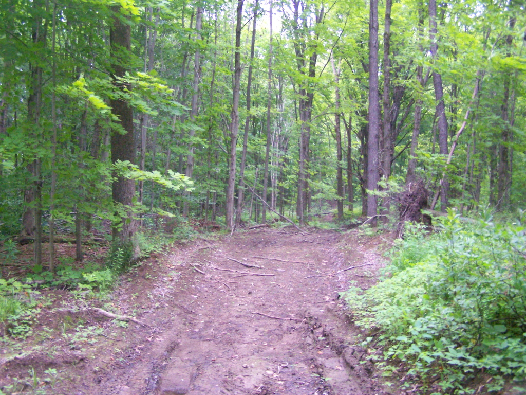
Hiking on Timber Road
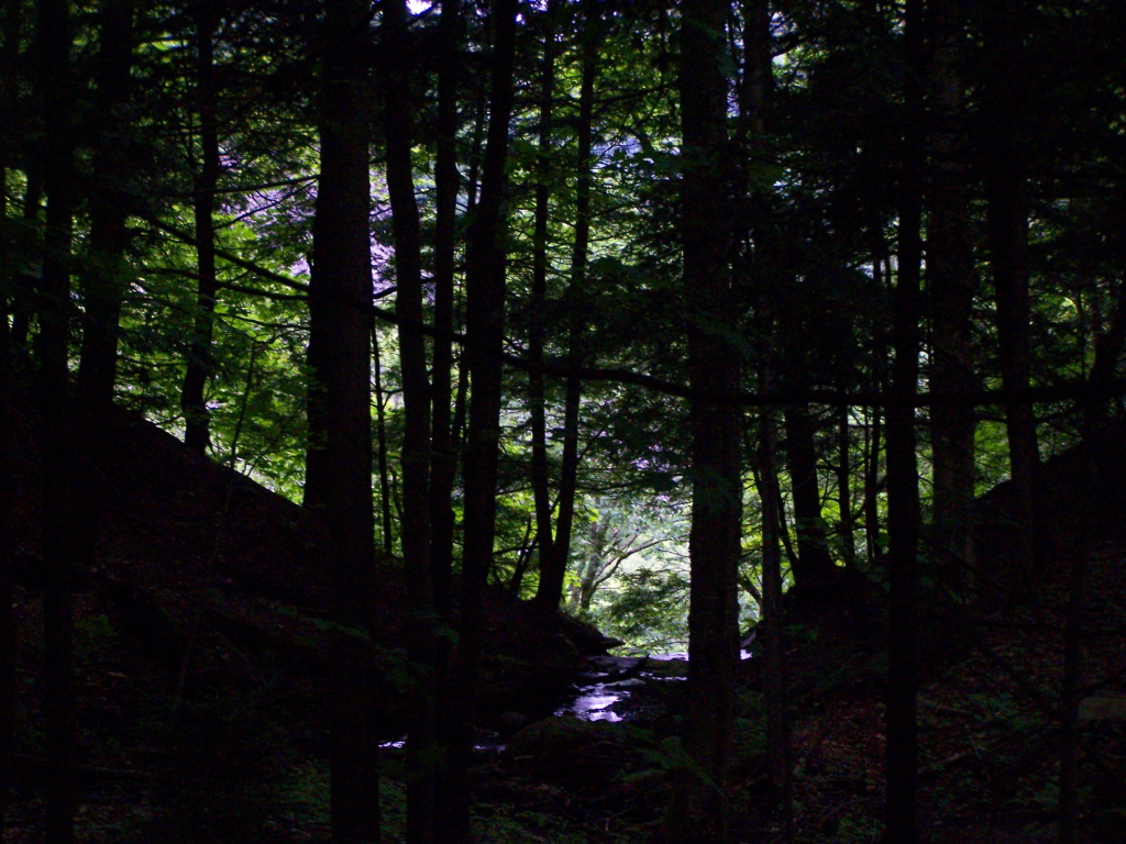
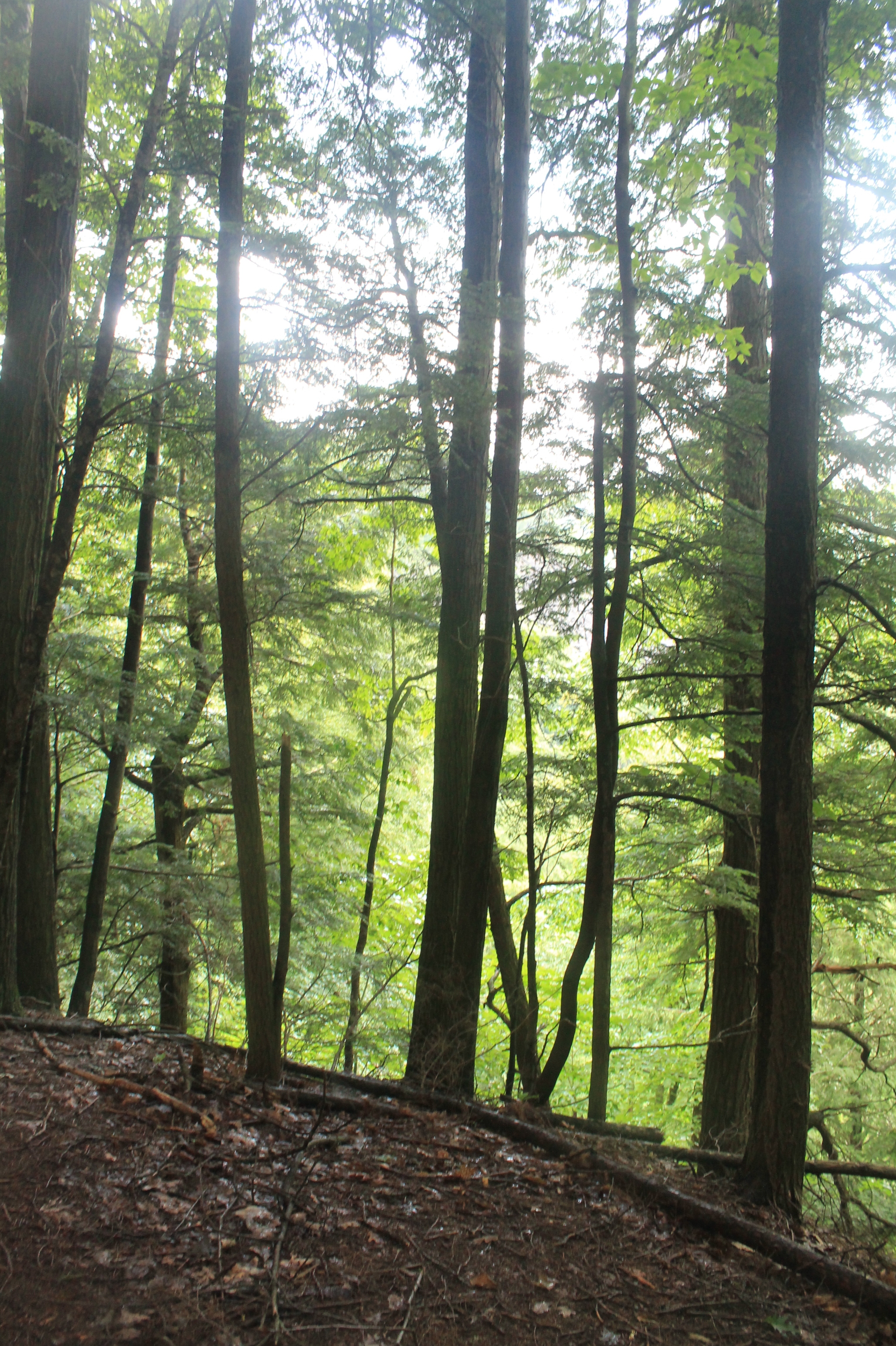
Inside the Gulf
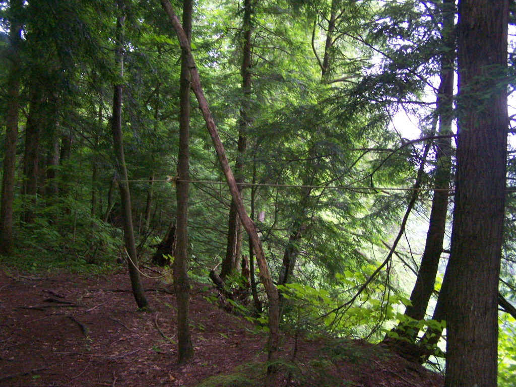
Right on Edge of the Gulf
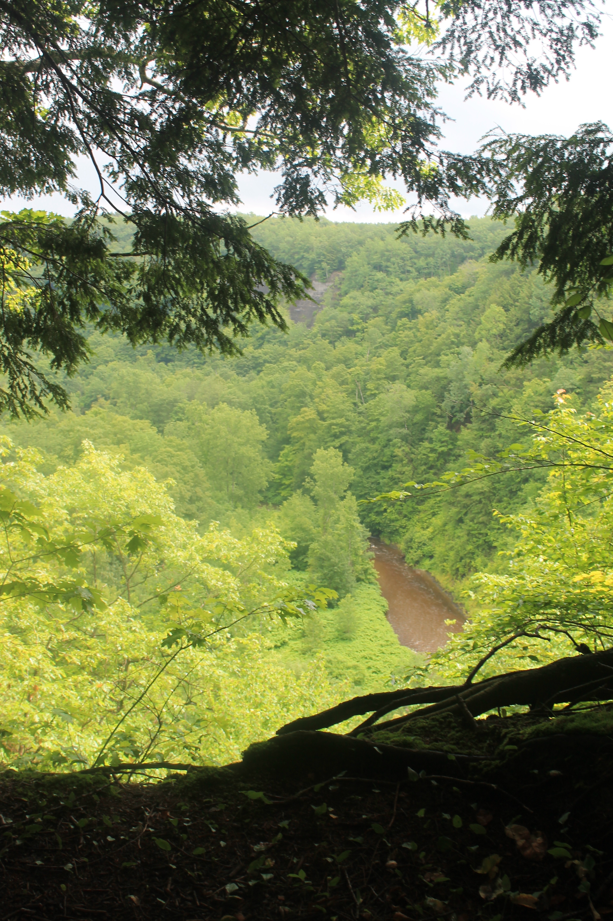
Looking Into Inman Gulf
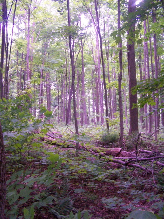
Walking Through Recently Thinned Forest
Pic-0029
Gulf in Open Area Where Powerline Is
Into the Gorge
Topographic Map of Lorraine, NY, USA
Find elevation by address:

Places near Lorraine, NY, USA:
6130 County Rd 95
County Rte, Lorraine, NY, USA
Worth
County Rte 13, Lacona, NY, USA
Worth
10947 Lowe Rd
Rodman
New Scriba Dr, Richland, NY, USA
8057 Seven By Nine Rd
Barnes Corners
Pinckney
Fralick Road
Hooker
Watertown
Barnes Corners, NY, USA
Odell Rd, Copenhagen, NY, USA
22751/59
Woodruff Settlement Road
25820 Middle Rd
16601 Churchill Rd
Recent Searches:
- Elevation of Corso Fratelli Cairoli, 35, Macerata MC, Italy
- Elevation of Tallevast Rd, Sarasota, FL, USA
- Elevation of 4th St E, Sonoma, CA, USA
- Elevation of Black Hollow Rd, Pennsdale, PA, USA
- Elevation of Oakland Ave, Williamsport, PA, USA
- Elevation of Pedrógão Grande, Portugal
- Elevation of Klee Dr, Martinsburg, WV, USA
- Elevation of Via Roma, Pieranica CR, Italy
- Elevation of Tavkvetili Mountain, Georgia
- Elevation of Hartfords Bluff Cir, Mt Pleasant, SC, USA