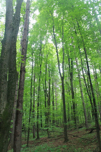
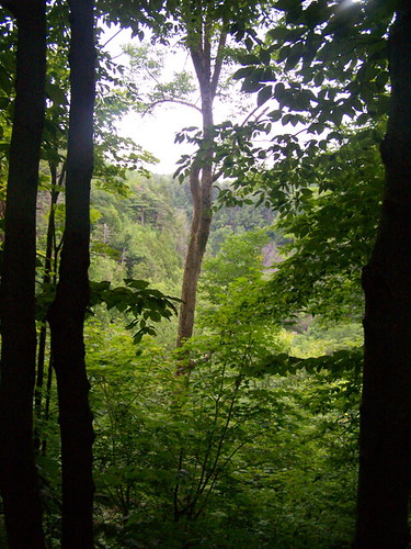
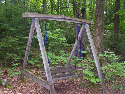
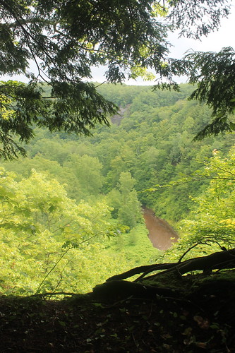
Elevation of County Rd 95, Lorraine, NY, USA
Location: United States > New York > Jefferson County > Lorraine > Lorraine >
Longitude: -75.887304
Latitude: 43.7551221
Elevation: -10000m / -32808feet
Barometric Pressure: 295KPa
Related Photos:
Topographic Map of County Rd 95, Lorraine, NY, USA
Find elevation by address:

Places near County Rd 95, Lorraine, NY, USA:
County Rte, Lorraine, NY, USA
Worth
Lorraine, NY, USA
Worth
10947 Lowe Rd
8057 Seven By Nine Rd
Barnes Corners
County Rte 13, Lacona, NY, USA
Rodman
Pinckney
New Scriba Dr, Richland, NY, USA
Fralick Road
Hooker
Barnes Corners, NY, USA
Odell Rd, Copenhagen, NY, USA
Watertown
Woodruff Settlement Road
22751/59
16601 Churchill Rd
Watson Road
Recent Searches:
- Elevation of Corso Fratelli Cairoli, 35, Macerata MC, Italy
- Elevation of Tallevast Rd, Sarasota, FL, USA
- Elevation of 4th St E, Sonoma, CA, USA
- Elevation of Black Hollow Rd, Pennsdale, PA, USA
- Elevation of Oakland Ave, Williamsport, PA, USA
- Elevation of Pedrógão Grande, Portugal
- Elevation of Klee Dr, Martinsburg, WV, USA
- Elevation of Via Roma, Pieranica CR, Italy
- Elevation of Tavkvetili Mountain, Georgia
- Elevation of Hartfords Bluff Cir, Mt Pleasant, SC, USA


