Elevation of Hooker, Montague, NY, USA
Location: United States > New York > Lewis County > Lowville > Lowville >
Longitude: -75.743801
Latitude: 43.6925698
Elevation: 538m / 1765feet
Barometric Pressure: 95KPa
Elevation Map:
Satellite Map:
Related Photos:

near Copenhagen, NY
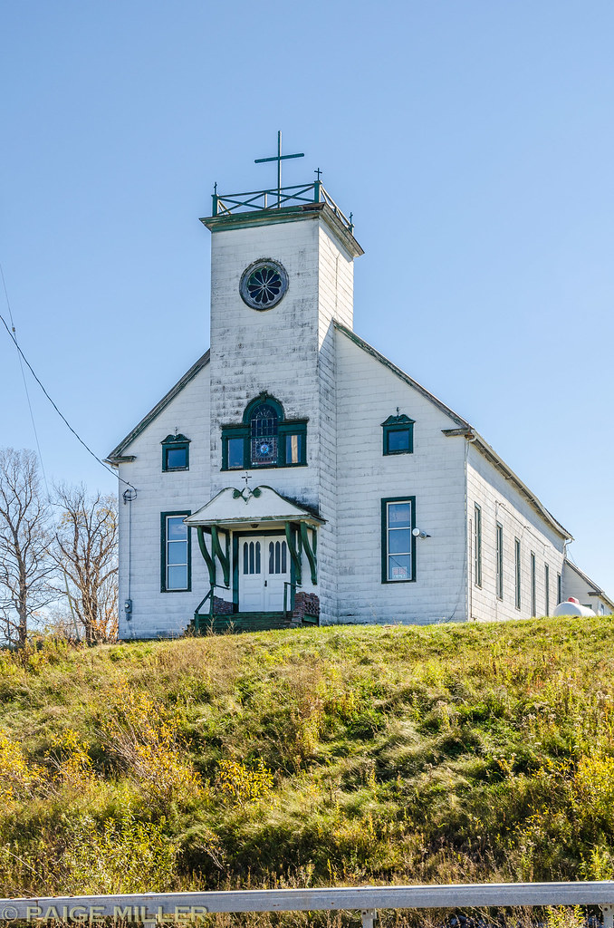
Near Copenhagen, NY
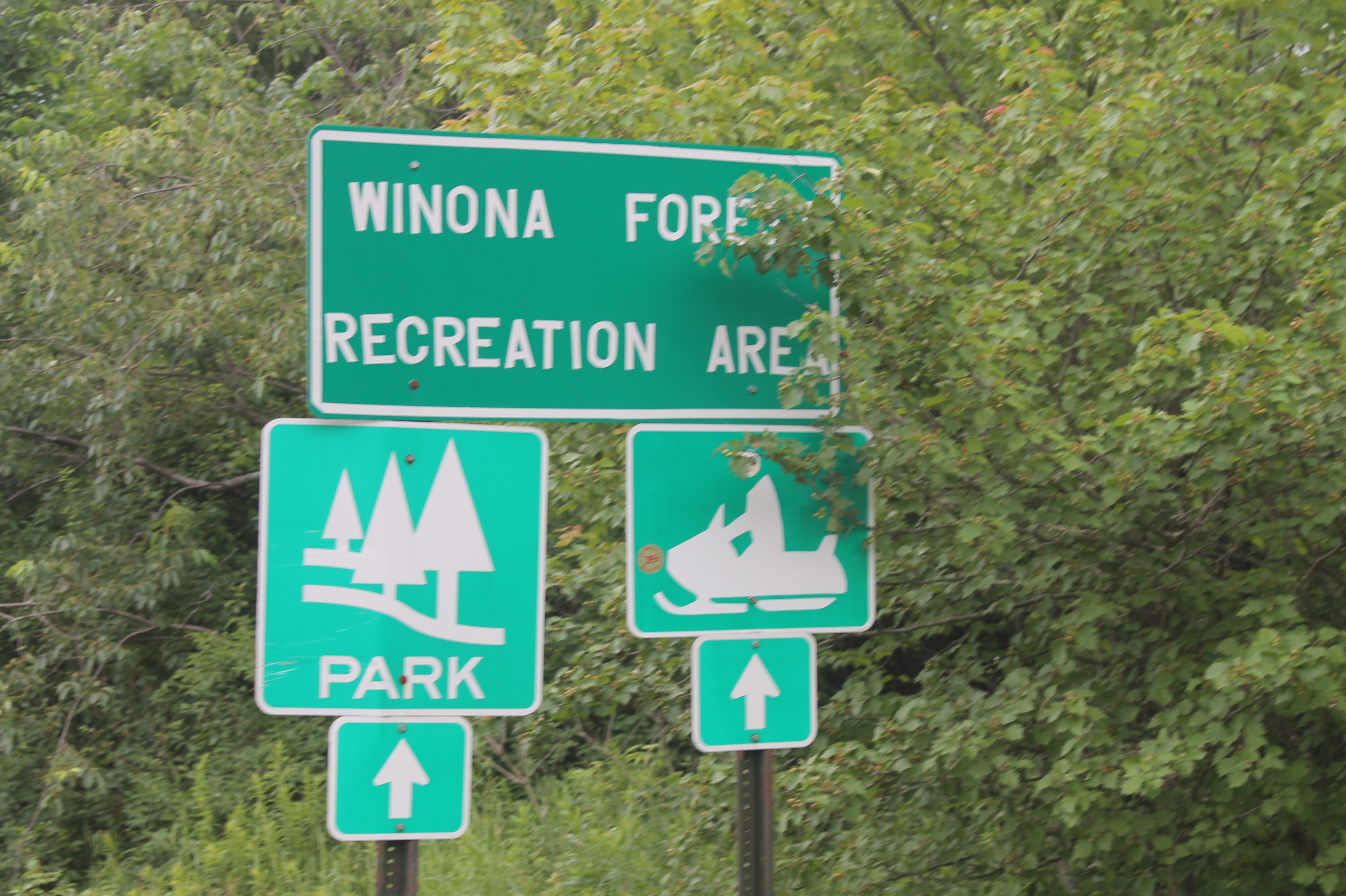
Winona Forest Recreation Area

Tug Hill State Forest Sign

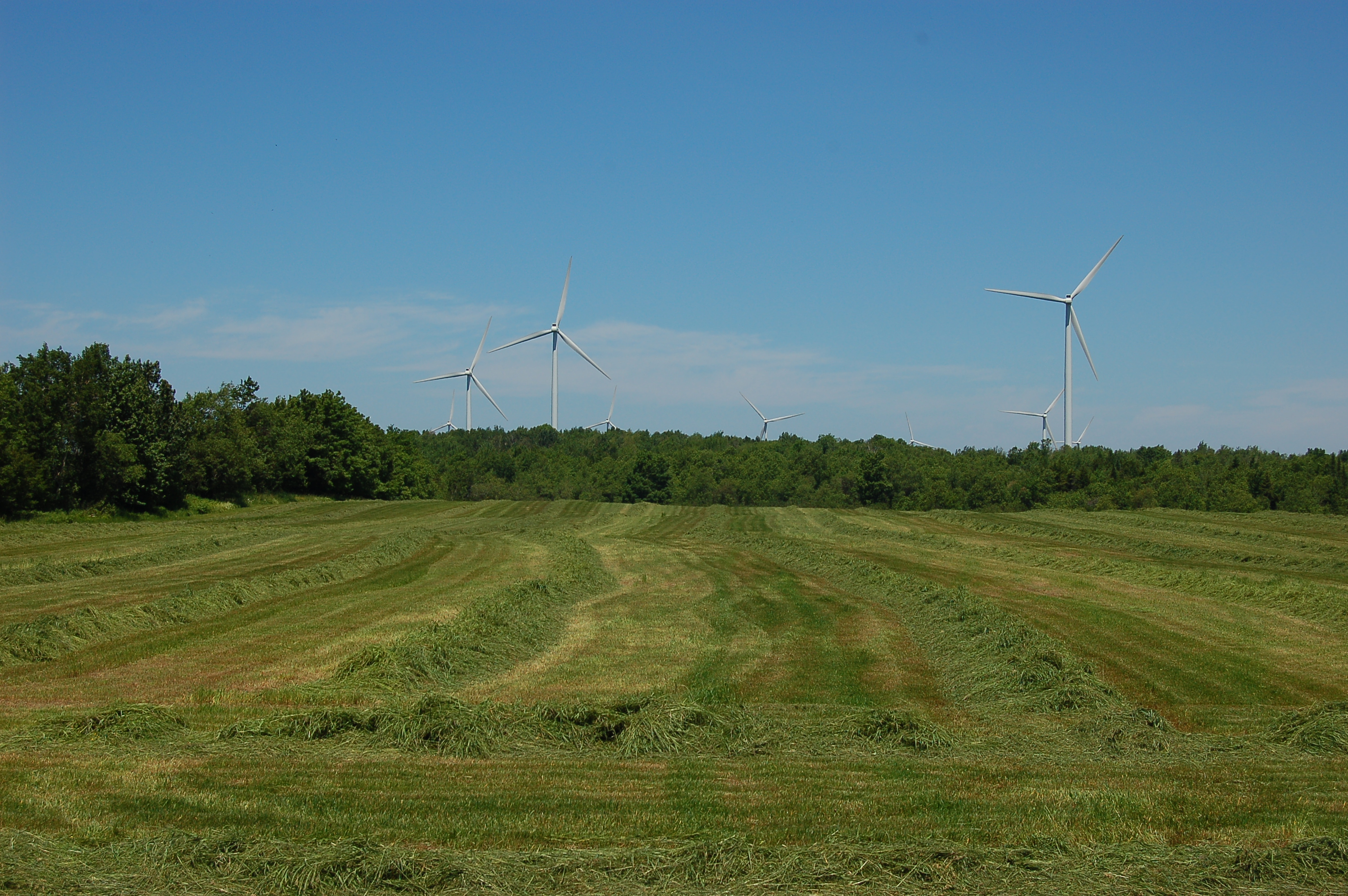
I Love Windmills
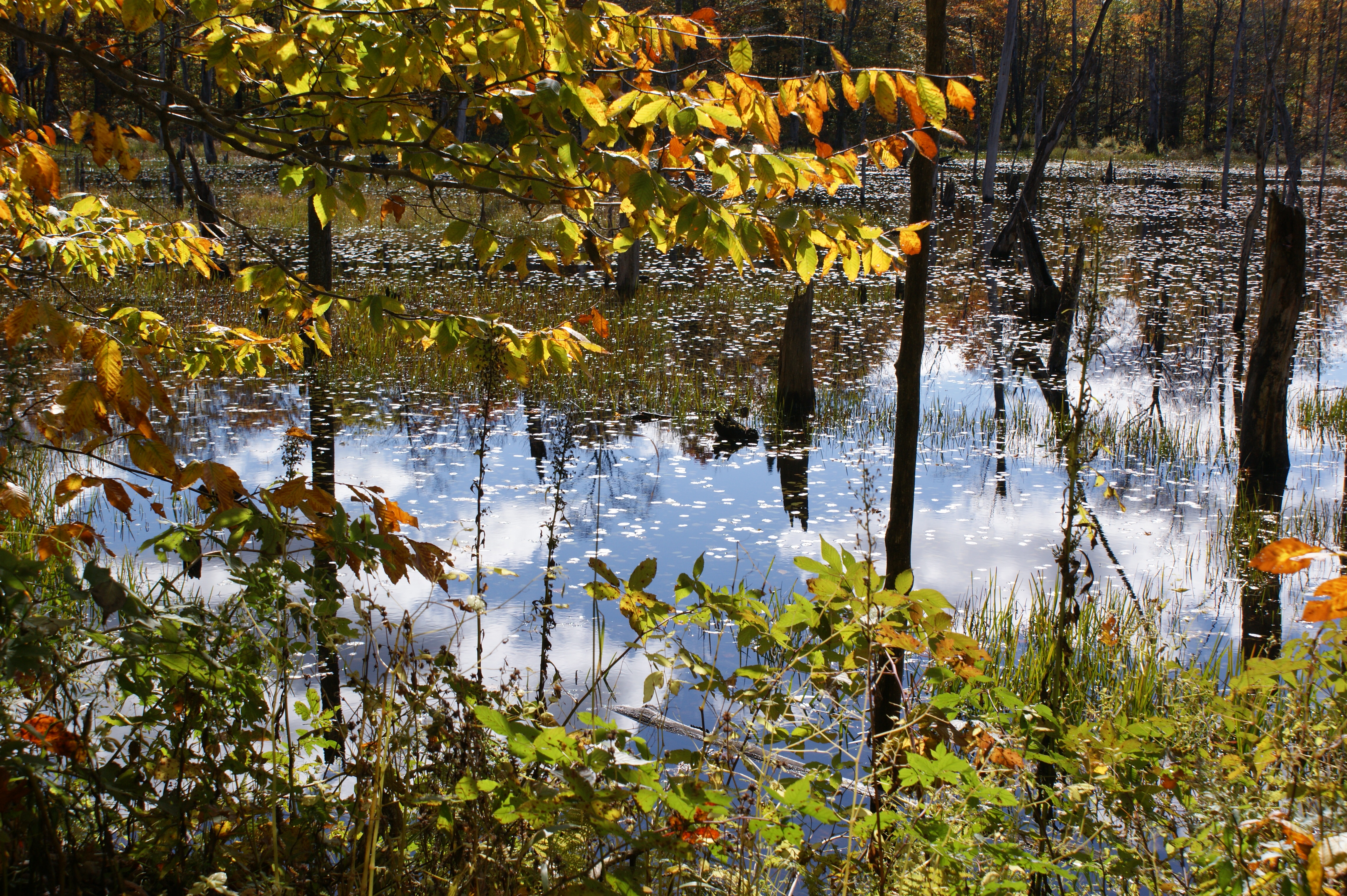
"Beaver Pond"
Topographic Map of Hooker, Montague, NY, USA
Find elevation by address:

Places near Hooker, Montague, NY, USA:
Montague
Sears Pond Rd, Lowville, NY, USA
Worth
Barnes Corners, NY, USA
7154 Van Dressen Rd
Pinckney
8057 Seven By Nine Rd
Barnes Corners
Harrisburg
6130 County Rd 95
Worth
Beetle Rd, Lowville, NY, USA
7958 Cobb Rd
Michigan Mills Rd, Constableville, NY, USA
County Rte, Lorraine, NY, USA
County Rte 13, Lacona, NY, USA
Lorraine, NY, USA
Martinsburg
Watson Road
10947 Lowe Rd
Recent Searches:
- Elevation of Corso Fratelli Cairoli, 35, Macerata MC, Italy
- Elevation of Tallevast Rd, Sarasota, FL, USA
- Elevation of 4th St E, Sonoma, CA, USA
- Elevation of Black Hollow Rd, Pennsdale, PA, USA
- Elevation of Oakland Ave, Williamsport, PA, USA
- Elevation of Pedrógão Grande, Portugal
- Elevation of Klee Dr, Martinsburg, WV, USA
- Elevation of Via Roma, Pieranica CR, Italy
- Elevation of Tavkvetili Mountain, Georgia
- Elevation of Hartfords Bluff Cir, Mt Pleasant, SC, USA