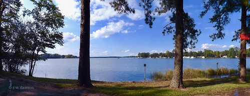
Elevation of Long Point Ln, Topping, VA, USA

Location: United States > Virginia > Middlesex County > Saluda > Topping >

Longitude: -76.456659

Latitude: 37.6045102

Elevation: 8m / 26feet

Barometric Pressure: 101KPa

Elevation Map:

elevation map of Long Point Ln, Topping, VA, USA

Satellite Map:

Satellite map of Long Point Ln, Topping, VA, USA

Related Photos:

virginia middlesexcounty middlepeninsula dockspiers riversandstreams rappahannockriver greatskies patios gardenstructures trellisespergolas benches november2015 november 2015 canon24704l explore
Waterside Dining
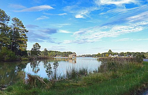
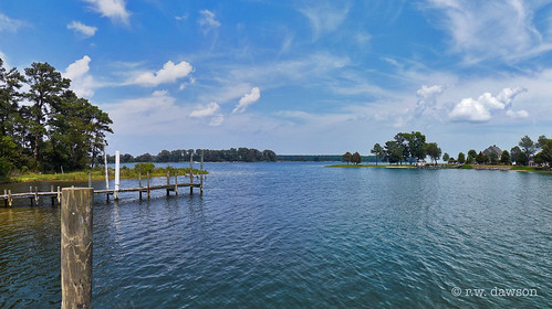
Godfrey Bay on the Piankatank River
christchurch virginia march churches blueskies lancastercounty 2008 nationalhistoriclandmark northernneck nrhp countrychurches colonialchurches march2008 episcopalchurches
Wooded setting of Christ Church
wood texture museum bells virginia antique telephone speaker boxes cans cigarettes shelves receiver tobacco jars octagon crank redman saluda middlesexcounty cleansers kitchenklenzer perfectocigars redcirclecoffee gillscoffee
Telephone 2
christchurch virginia march churches blueskies lancastercounty 2008 nationalhistoriclandmark northernneck nrhp countrychurches colonialchurches march2008 episcopalchurches
Gated brick wall - Christ Church
christchurch virginia march churches lancastercounty 2008 nationalhistoriclandmark northernneck nrhp brickdetail countrychurches colonialchurches march2008 episcopalchurches
Brick wall detail - Christ Church
christchurch virginia march churches lancastercounty 2008 nationalhistoriclandmark northernneck nrhp brickdetail countrychurches colonialchurches march2008 episcopalchurches
Defaced bricks - Christ Church
christchurch virginia march churches lancastercounty 2008 nationalhistoriclandmark churchinterior northernneck nrhp countrychurches colonialchurches march2008 episcopalchurches
Aisle & doorway - Christ Church
christchurch virginia march churches lancastercounty 2008 nationalhistoriclandmark churchinterior northernneck nrhp countrychurches colonialchurches march2008 episcopalchurches
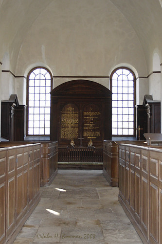
Aisle & altar - Christ Church
christchurch virginia march churches lancastercounty 2008 nationalhistoriclandmark churchinterior northernneck nrhp countrychurches colonialchurches march2008 episcopalchurches
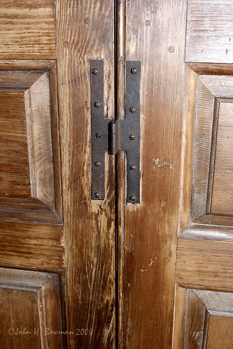
Pew box detail - Christ Church
christchurch virginia march churches lancastercounty 2008 baptismalfont nationalhistoriclandmark northernneck nrhp countrychurches colonialchurches march2008 episcopalchurches
Baptismal font - Christ Church
View from the Road to Towles Point, Lancaster County, VA
christchurch virginia march churches lancastercounty 2008 nationalhistoriclandmark churchinterior northernneck nrhp countrychurches colonialchurches march2008 episcopalchurches
Tri-level pulpit - Christ Church
christchurch virginia march churches lancastercounty 2008 nationalhistoriclandmark northernneck nrhp brickdetail countrychurches colonialchurches march2008 episcopalchurches stoneworkdetail
Aged stone - Christ Church
washington ferryboat vdot blackandwhitemiss
The "Miss Washington"
clear clouds cloudy river dusk evening family linda water sunset sunny travel outdoor 1986 2014 afternoon friends happy night sky skyline summer virginia day views
2014.09.02 195K Views
usa woodpecker yellowbelliedsapsucker va virginia bird ybsa middlesexcounty sphyrapicus taxonomy:binomial=sphyrapicusvarius taxonomy:common=yellowbelliedsapsucker
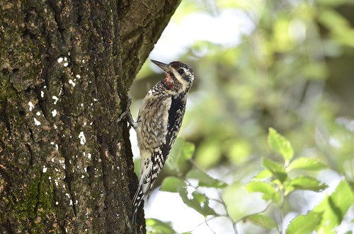
Yellow-bellied Sapsucker, Virginia
virginia middlesexcounty middlepeninsula marinasharbors dockspiers riversandstreams rappahannockriver greatskies november2015 november 2015 cloudsstormssunsetssunrises canon16354l
"Popcorn" Sky
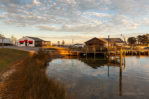
virginia middlesexcounty middlepeninsula marinasharbors dockspiers riversandstreams lockliescreek rappahannockriver commercialbuildings restaurants warmsunlight greatskies reflections november2015 november 2015 canon16354l
Oyster Pier & Merroir "Tasting Room"
virginia middlesexcounty middlepeninsula marinasharbors dockspiers lockliesmarina riversandstreams lockliescreek november2015 november 2015 canon24704l
Locklies Marina, Near Chesapeake Bay
summer boats virginia july sailboats deltaville middlesexcounty middlepeninsula greatskies 2013 canon24105l stingraypointmarina july2013 marinasharbors
View from Lighthouse - Stingray Point Marina
Piering Into the Mist
Godfrey Bay, Cobbs Creek Virginia 5:44 p.m. 2/20/16
2016 lancastercounty virginia va unitedstates usa dymercreek georgescove waterway bluesky water docks
George's Cove
Low Tide at Hallieford Beach, Piankatank River, Mathews Virginia 4:30 p.m. 11/28/15
explore d5100 stingraypoint fastapp69
Finally [Explored!]
Godfrey Bay at Misti Cove, Mathews County Virginia 6:53 a.m. 11/28/15
roadtrip
This Morning. Sunrise over Chesapeake Bay. Cobbs Creek Virginia 6:05 a.m. 7/23/16 #roadtrip
above neck way stars virginia farm over trail northern comet milky millenbeck
Above The Fields
Summer's Last Saturday at Godfrey Bay, Cobbs Creek Virginia 6:46 p.m. 9/17/16
unitedstates environment geocity geo:country=unitedstates camera:make=canon exif:isospeed=800 geostate exif:lens=ef24105mmf4lisusm exif:focallength=105mm exif:aperture=ƒ80 exif:model=canoneos5dmarkiv exif:make=canon camera:model=canoneos5dmarkiv nonprofits aerial transportation southwings
King William County, Va.
November Dawns
mathewscounty virginia va usa deeppointboatramp landscape waterway river piankatankriver
Deep Point Boat Ramp on the Piankatank River
Beautiful Day on the Piankatank River Virginia 6:07 a.m. 4/17/16
sunset sea sky water birds clouds evening dusk chesapeakebay rappahannockriver
Time to Head Home
virginia nikon d5100 stingraypoint fastapp69
Stingray point
Godfrey Bay, Mathews County Virginia 7:33 p.m. 9/5/15
road beautiful america landscape virginia town us path country scenic peaceful retro business va 17 serene roads adventures beaten tranquil smalltown saluda tidewater us17 middlesexcounty tidewaterva middlesexva middlesexcountyva
Blissful Business
Piankatank Pier
After the Monsoon
sunset sun water evening boat
Sunset on Sturgeon Creek - Deltaville, VA