Elevation of 59 Salt House Ln, Topping, VA, USA
Location: United States > Virginia > Middlesex County > Saluda > Saluda >
Longitude: -76.434991
Latitude: 37.5949682
Elevation: 1m / 3feet
Barometric Pressure: 101KPa
Elevation Map:
Satellite Map:
Related Photos:

Waterside Dining

Godfrey Bay on the Piankatank River

Telephone 2

2014.09.02 195K Views
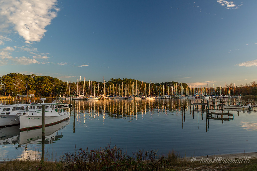
Locklies Marina, Near Chesapeake Bay

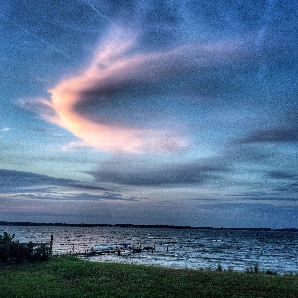
"Popcorn" Sky

Oyster Pier & Merroir "Tasting Room"

View from Lighthouse - Stingray Point Marina

Sheltering Arms
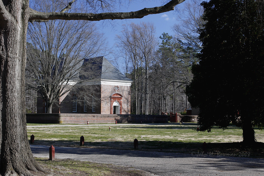
Wooded setting of Christ Church

Old Middlesex Courthouse

Brick wall detail - Christ Church

Gated brick wall - Christ Church

Defaced bricks - Christ Church

Aisle & doorway - Christ Church

Aisle & altar - Christ Church

Pew box detail - Christ Church

Baptismal font - Christ Church

View from the Road to Towles Point, Lancaster County, VA

Tri-level pulpit - Christ Church

Pilot Michael...

Locklies Creek, Topping Virginia 7:20 p.m. 6/10/16

George's Cove

Big Weather over the Chesapeake Bay of Virginia. From Godfrey Bay, Mathews County. 7:26 a.m. April 13, 2019

Finally [Explored!]

Time to Head Home

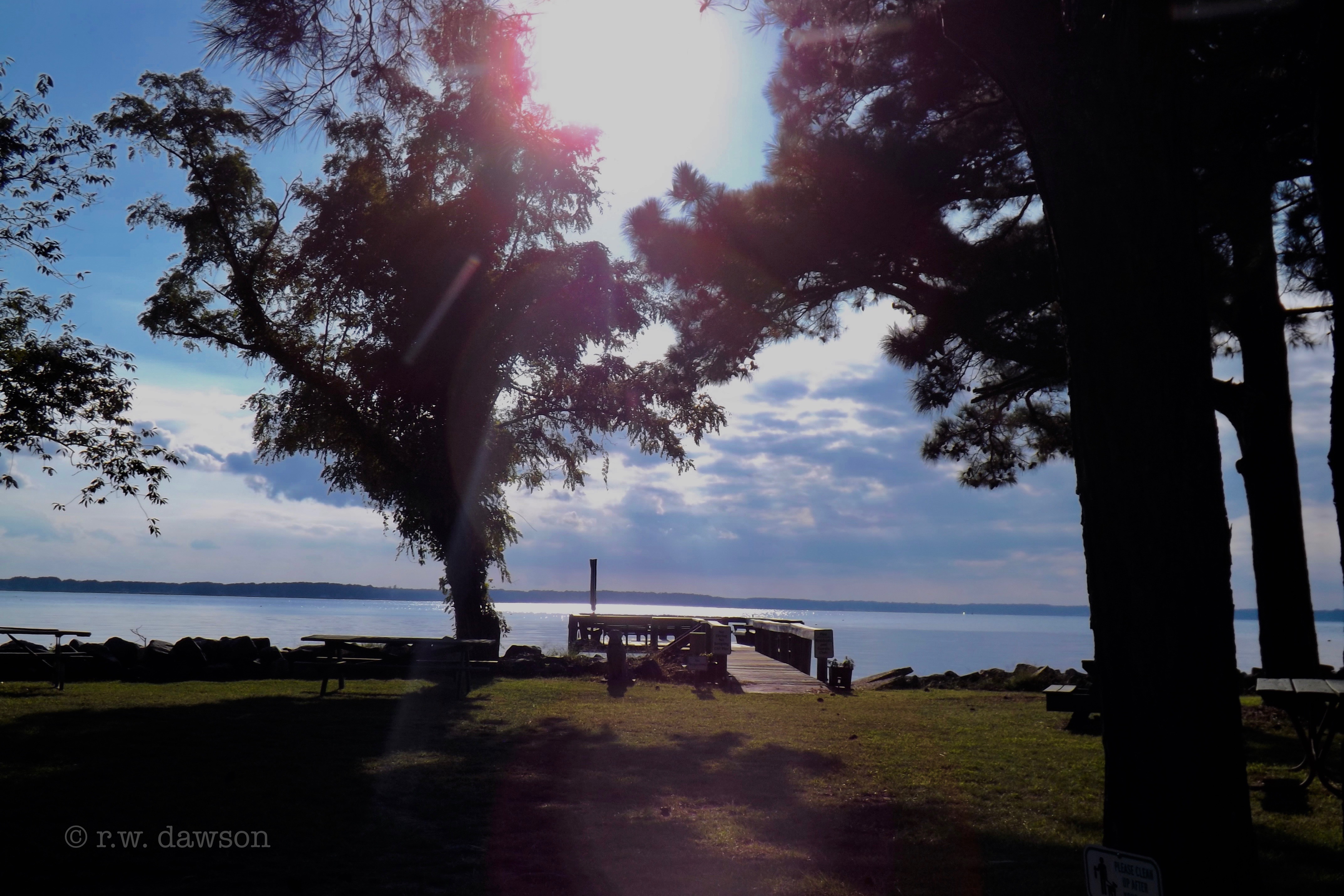
Piankatank Pier

Sunset on Sturgeon Creek - Deltaville, VA

Deep Point Boat Ramp on the Piankatank River

Piering Into the Mist

Godfrey Bay at Misti Cove, Mathews County Virginia 6:53 a.m. 11/28/15
School Is In-Gwynn's Island-Mathews County VA 03928

Godfrey Bay, Cobbs Creek Virginia 5:44 p.m. 2/20/16

Above The Fields

Deep Point Boat Ramp on the Piankatank River

Summer's Last Saturday at Godfrey Bay, Cobbs Creek Virginia 6:46 p.m. 9/17/16
Boat Dock on Gwynn's Island

Stingray point

Sturgeon Creek

Blissful Business
Godfrey Bay, Mathews County Virginia 7:33 p.m. 9/5/15
Topographic Map of 59 Salt House Ln, Topping, VA, USA
Find elevation by address:

Places near 59 Salt House Ln, Topping, VA, USA:
427 Willow Ln
504 Long Point Ln
Wake
1621 Locust Grove Rd
Walton Drive
Topping
Pine Top
Hartfield
12260 General Puller Hwy
General Puller Hwy, Hartfield, VA, USA
1804 Kates Neck Rd
Hartfield, VA, USA
River Run Drive
Bennett Farm Road
48 Lakeview Dr
1951 Twiggs Ferry Rd
50 Canton Dr
526 Ridge Rd
526 Ridge Rd
993 Whiting Creek Rd
Recent Searches:
- Elevation of Corso Fratelli Cairoli, 35, Macerata MC, Italy
- Elevation of Tallevast Rd, Sarasota, FL, USA
- Elevation of 4th St E, Sonoma, CA, USA
- Elevation of Black Hollow Rd, Pennsdale, PA, USA
- Elevation of Oakland Ave, Williamsport, PA, USA
- Elevation of Pedrógão Grande, Portugal
- Elevation of Klee Dr, Martinsburg, WV, USA
- Elevation of Via Roma, Pieranica CR, Italy
- Elevation of Tavkvetili Mountain, Georgia
- Elevation of Hartfords Bluff Cir, Mt Pleasant, SC, USA