Elevation of Bennett Farm Road, Bennett Farm Rd, Locust Hill, VA, USA
Location: United States > Virginia > Middlesex County > Saluda > Locust Hill >
Longitude: -76.4917
Latitude: 37.6045499
Elevation: 10m / 33feet
Barometric Pressure: 101KPa
Elevation Map:
Satellite Map:
Related Photos:
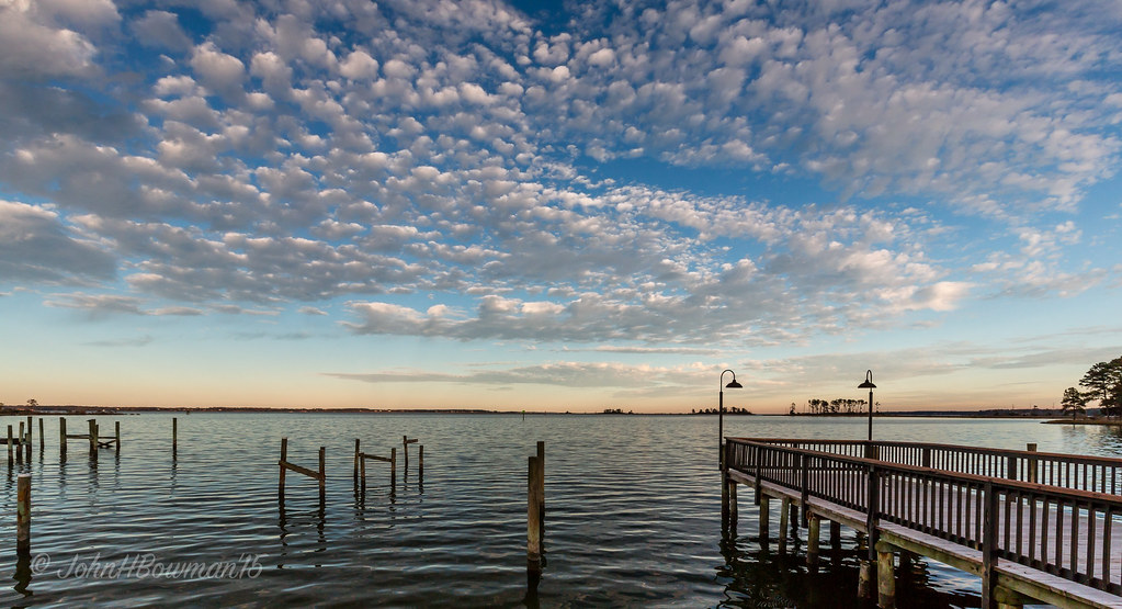
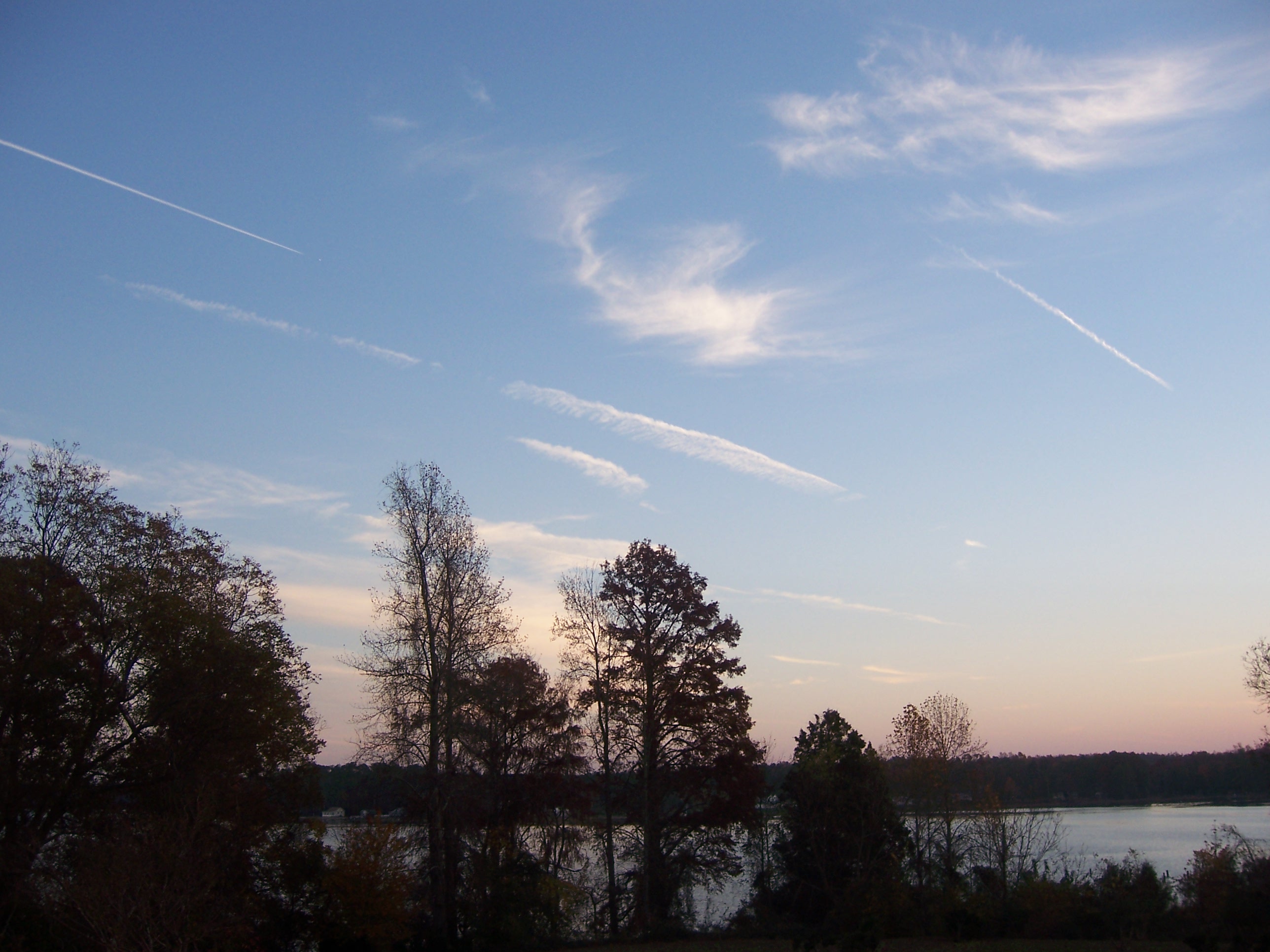
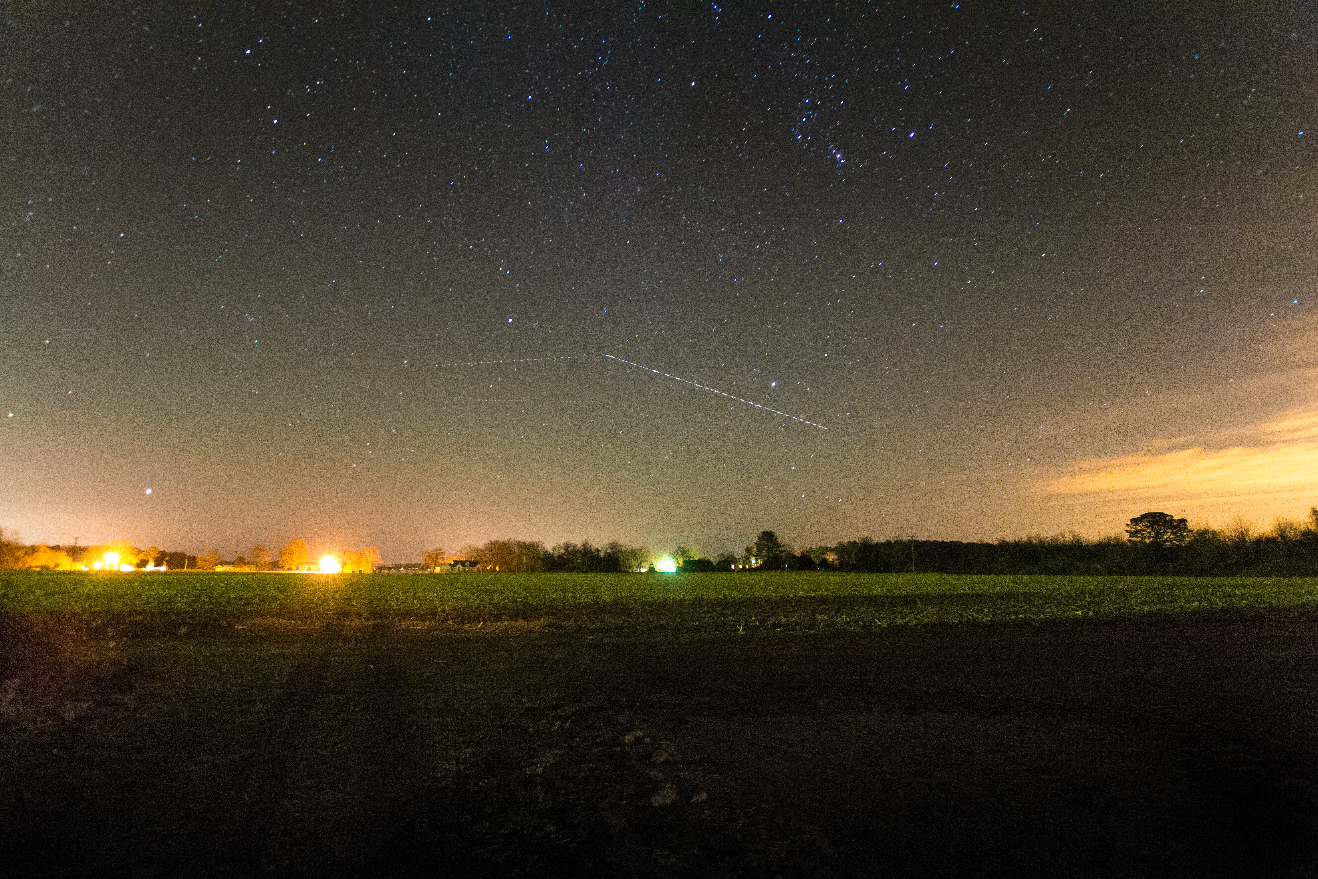
"Popcorn" Sky

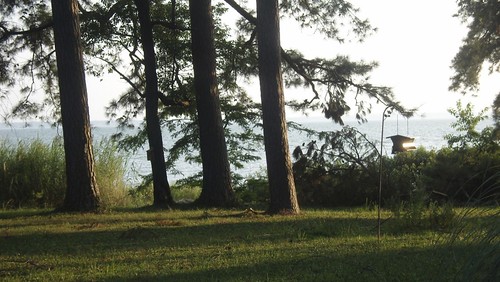
Deck View 4
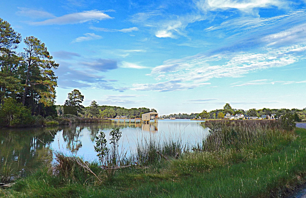
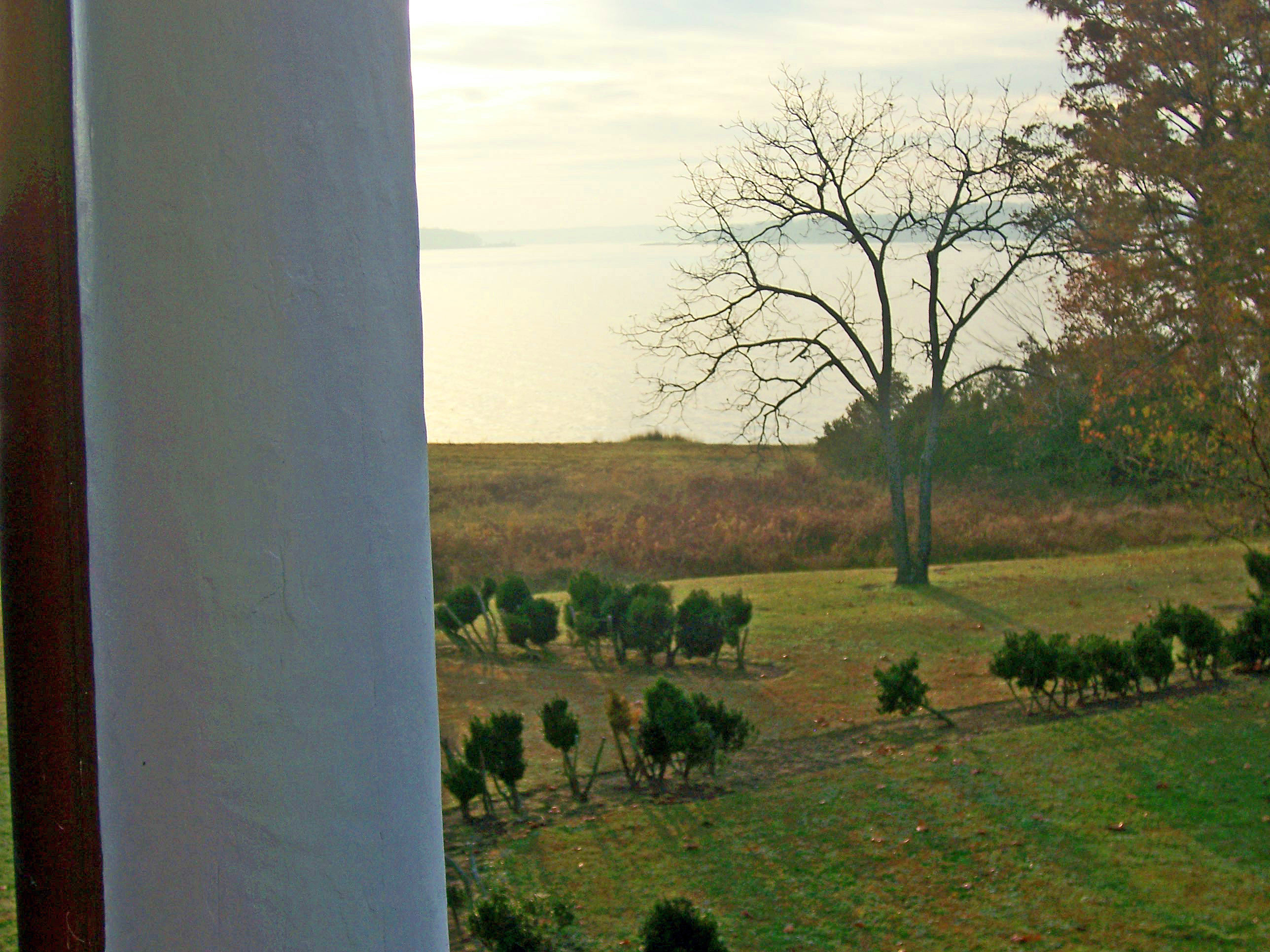
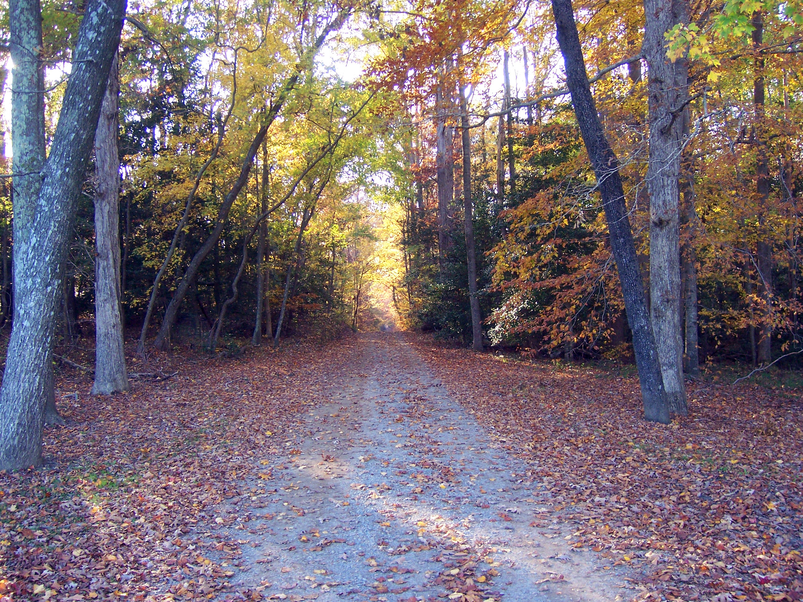
View from the Road to Towles Point, Lancaster County, VA
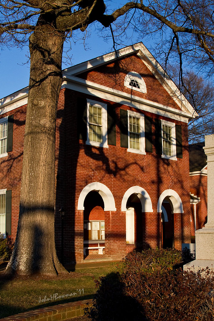
Old Middlesex Courthouse
Sheltering Arms

Sorrow Pain-Virginia

Telephone 2

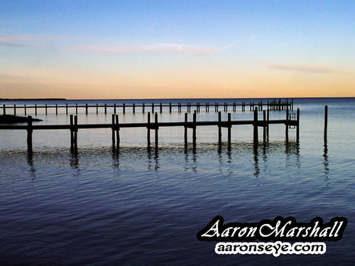
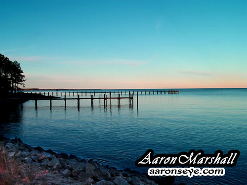
Dock & Cloud-Virginia
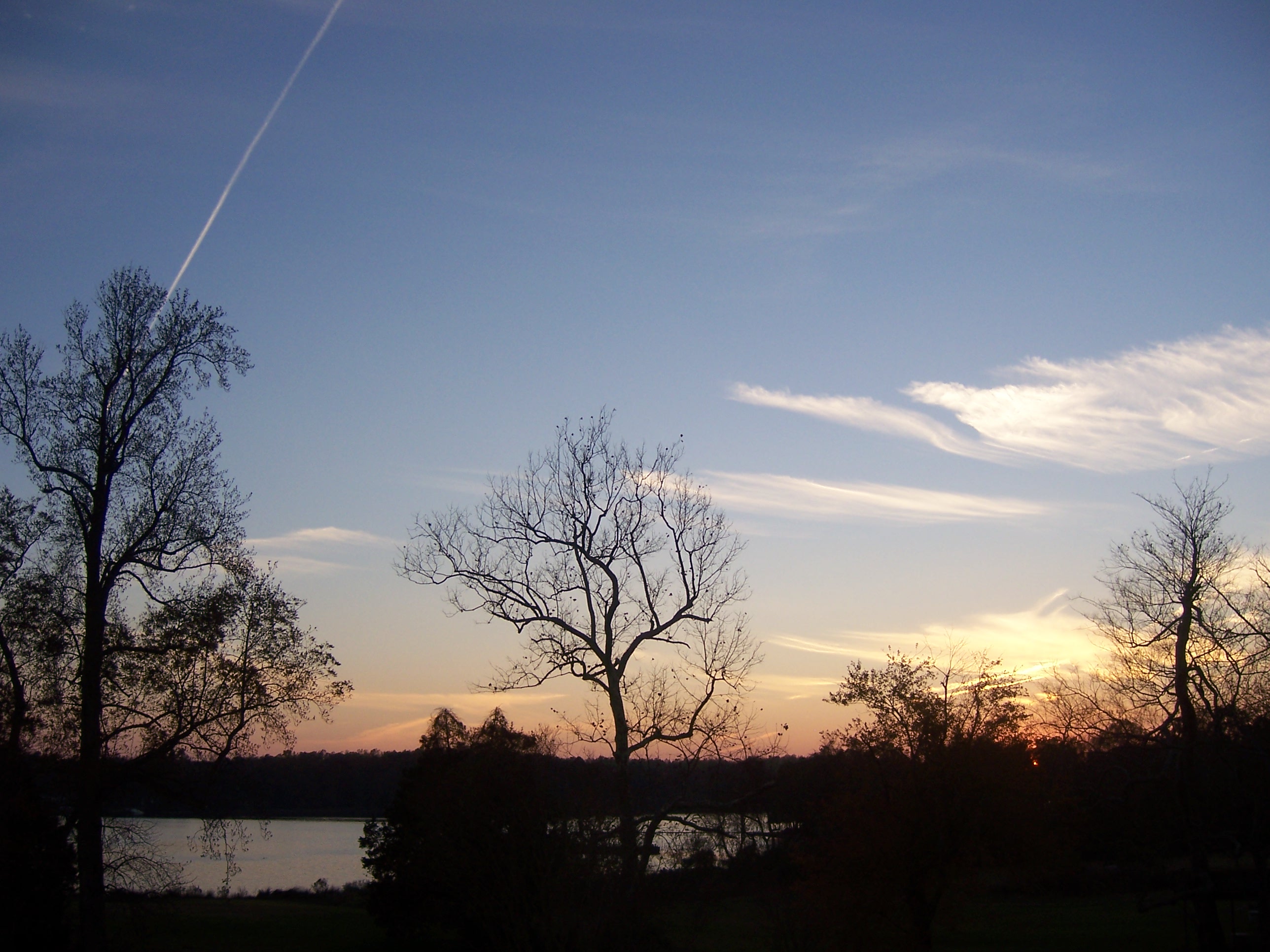
Inn at Woodstock - River view at sunset
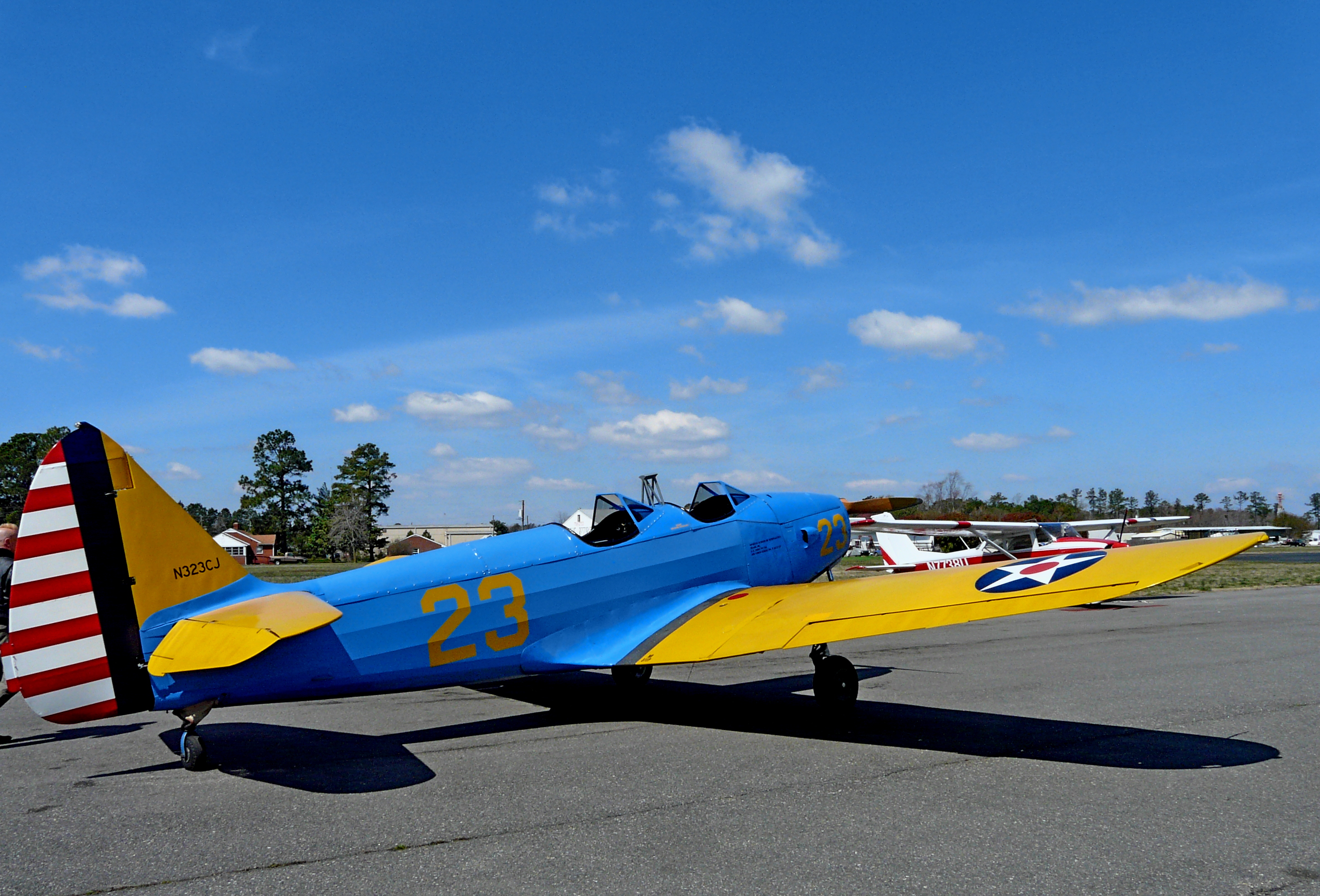
1943 Fairchild PT-19

2014JEK0227089.jpg

Rest-Virginia

Deck View 5

Deck View 1
Inn at Woodstock - River view at sunset
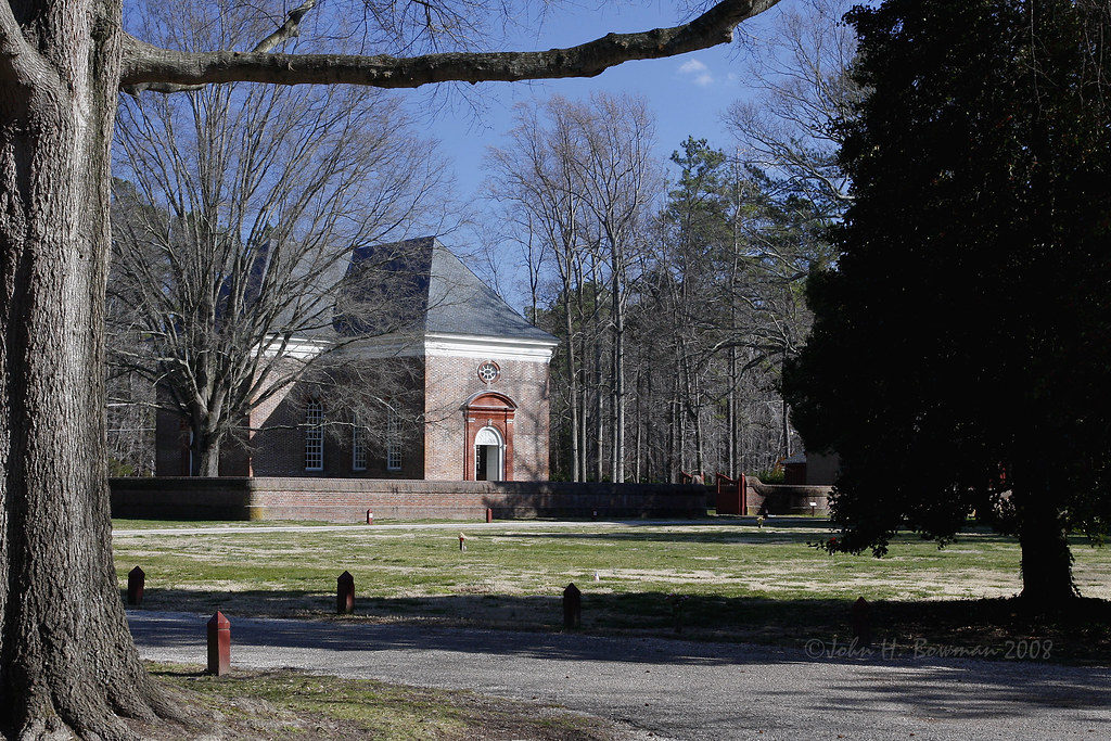
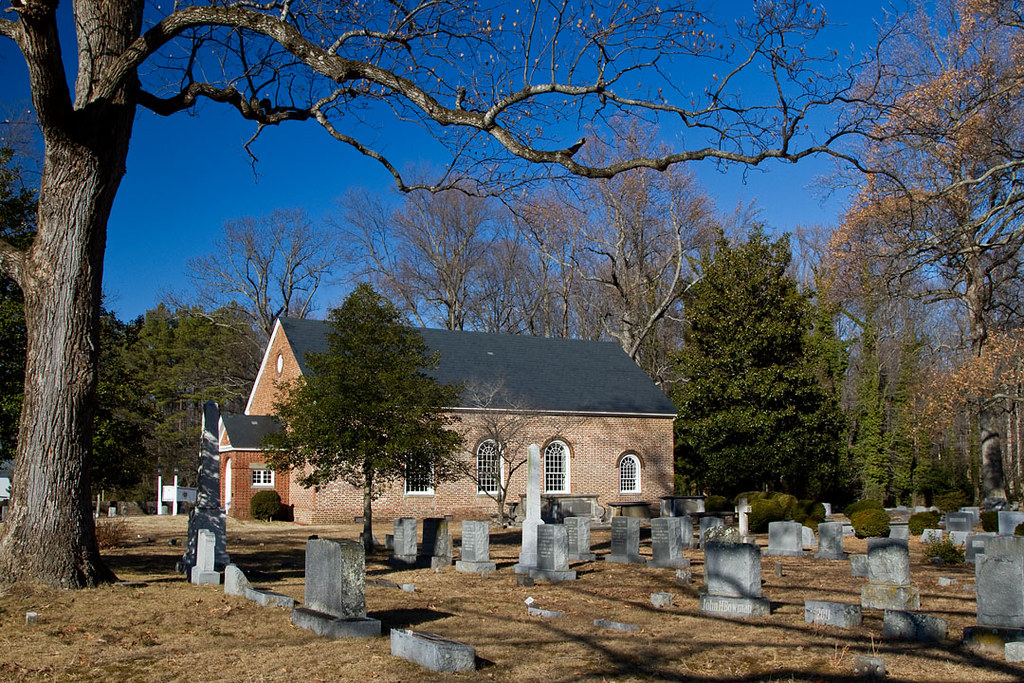
Wooded setting of Christ Church
Far Away From Home-Virginia

A View

2014JEK0227123.jpg
Inn at Woodstock - View across the field
Inn at Woodstock - River view
Above The Fields

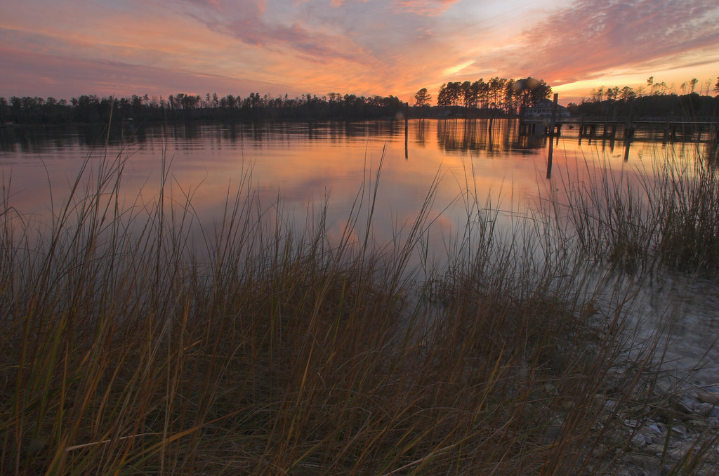
Sunset on Sturgeon Creek - Deltaville, VA
DSC03177 w
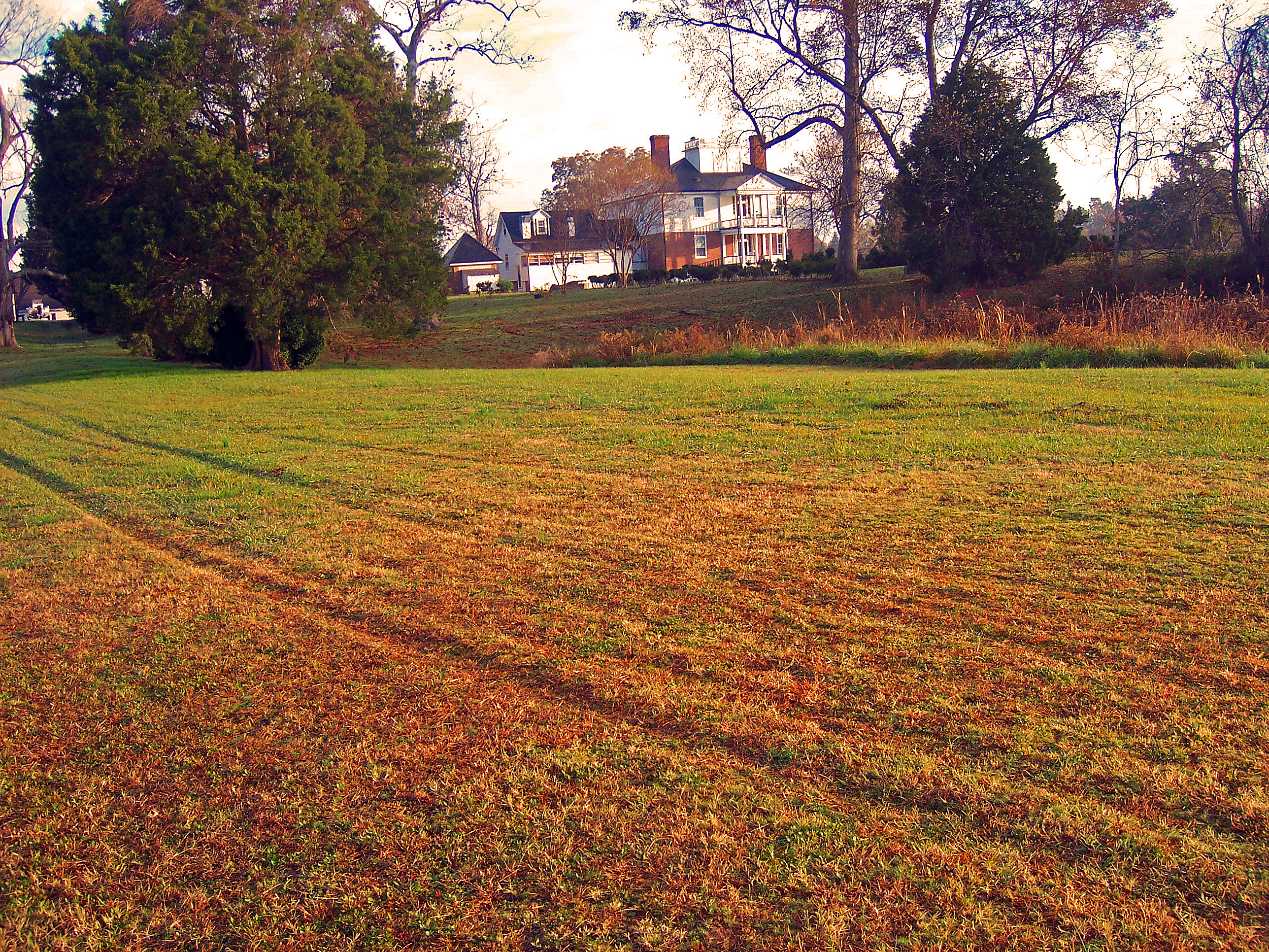
#8532 - white_house_sunset
#8544 - white_house_sunset
DSC03185 w

#0476-8 - Groundfog (HDR / Lofi)

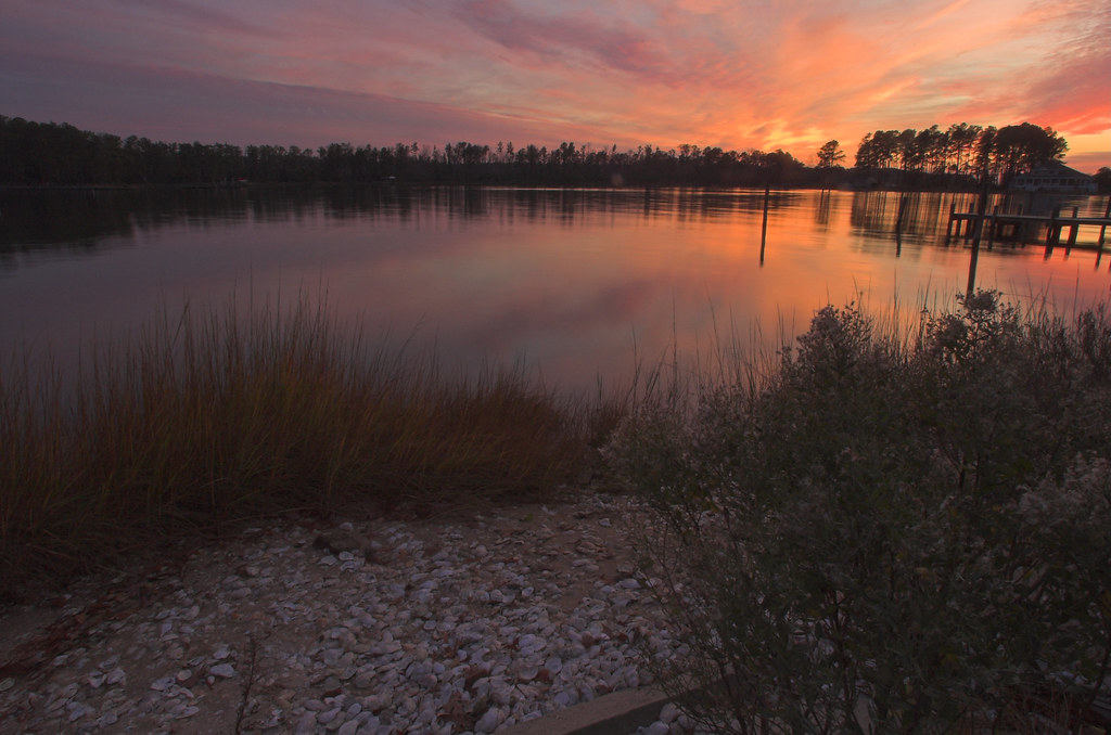
Sturgeon Creek
The Sun Sets
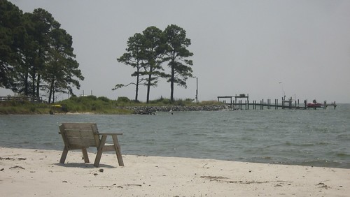
Lonely bench

Marston Engagement Shoot

Time to Head Home
Inn at Woodstock - Approach
DSC03170tweaksmooth1DPP w
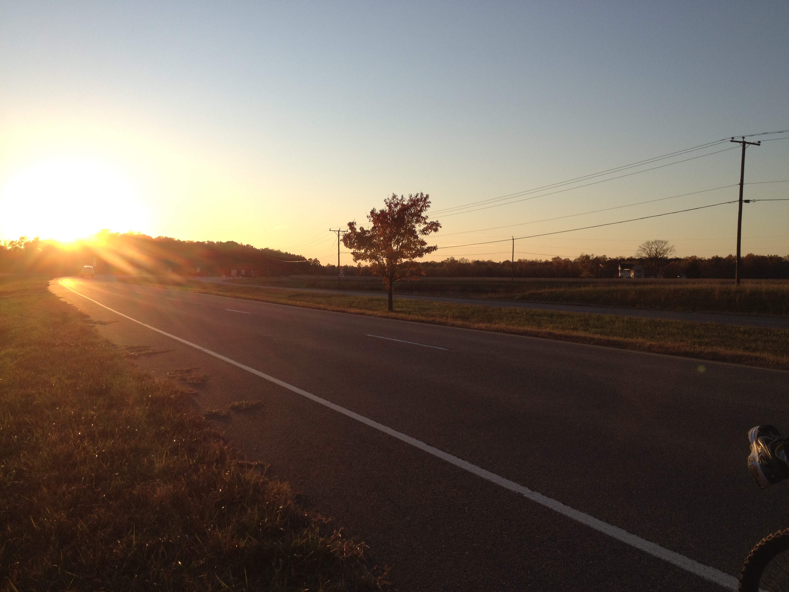
Lancaster County Virginia...a few shots from today's ride...
At Dusk

#8975 - greenvale-creek-frozen

Fishing Bay, Deltaville, VA
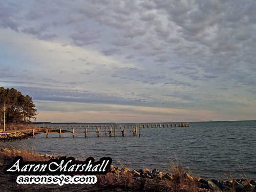
Winter on Carters Creek.
Topographic Map of Bennett Farm Road, Bennett Farm Rd, Locust Hill, VA, USA
Find elevation by address:

Places near Bennett Farm Road, Bennett Farm Rd, Locust Hill, VA, USA:
1804 Kates Neck Rd
993 Whiting Creek Rd
Locust Hill
Topping
Walton Drive
1621 Locust Grove Rd
Middlesex County
Saluda
504 Long Point Ln
50 Canton Dr
427 Willow Ln
59 Salt House Ln
General Puller Hwy, Hartfield, VA, USA
Deerchase Road
708 Shore Dr
Freeport Rd, Gloucester Courthouse, VA, USA
Hartfield
Wake
General Puller Hwy, Saluda, VA, USA
Highgate Lane
Recent Searches:
- Elevation of Corso Fratelli Cairoli, 35, Macerata MC, Italy
- Elevation of Tallevast Rd, Sarasota, FL, USA
- Elevation of 4th St E, Sonoma, CA, USA
- Elevation of Black Hollow Rd, Pennsdale, PA, USA
- Elevation of Oakland Ave, Williamsport, PA, USA
- Elevation of Pedrógão Grande, Portugal
- Elevation of Klee Dr, Martinsburg, WV, USA
- Elevation of Via Roma, Pieranica CR, Italy
- Elevation of Tavkvetili Mountain, Georgia
- Elevation of Hartfords Bluff Cir, Mt Pleasant, SC, USA