Elevation of Long Gully Road, Long Gully Rd, Hazeldene VIC, Australia
Location: Australia > Victoria > Murrindindi Shire > Hazeldene >
Longitude: 145.305597
Latitude: -37.346334
Elevation: 333m / 1093feet
Barometric Pressure: 97KPa
Elevation Map:
Satellite Map:
Related Photos:

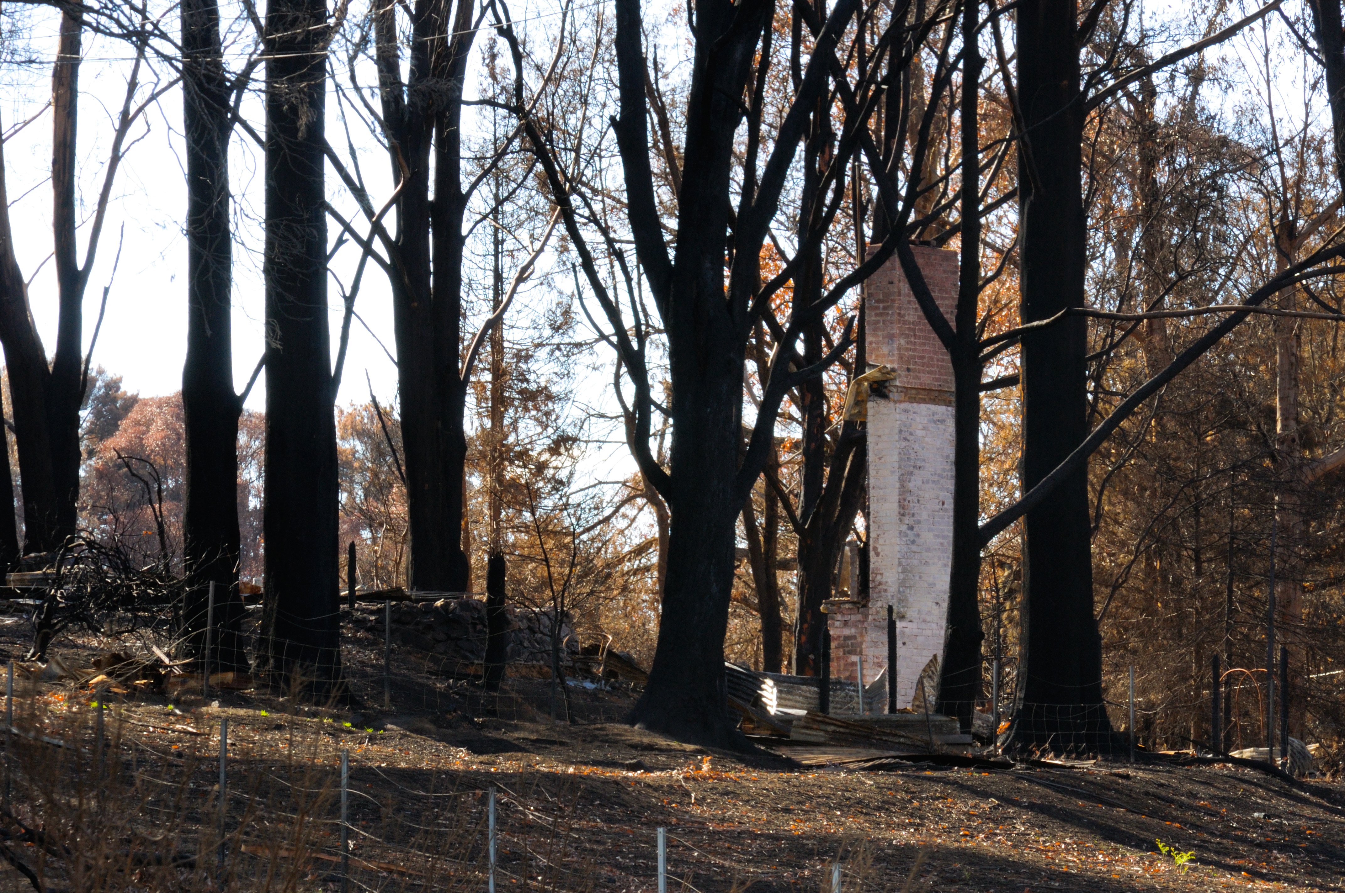
Bush Fire Aftermath Flowerdale Victoria Australia

Yea Spur Road

One Tree

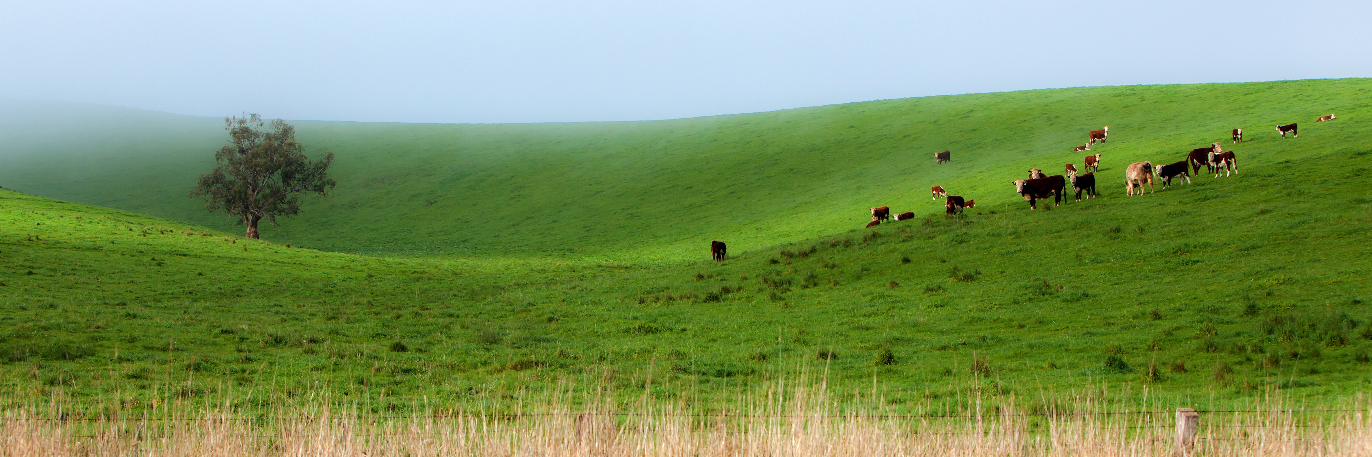
Cowilla's in the mist

Foggy sunrise 2014-06-14 (IMG_4467-80)

Foggy Strath Creek sunrise 2014-06-14 (IMG_4432-8)

Strath Creek 2014-06-14 (IMG_4467-73)
Sunny Side

Summer Heat

Strath Creek Falls

Bush Fire Aftermath Flowerdale Victoria Australia

Mount Feathertop shoulder

Bush Fire Aftermath Flowerdale Victoria Australia

Bush Fire Aftermath Flowerdale Victoria Australia

regrowth post the 2009 bush fires
West Coburg Vs Coburg

Masons Falls, Kinglake

Survivors.

Masons Falls, Kinglake

The Road Through Hell.

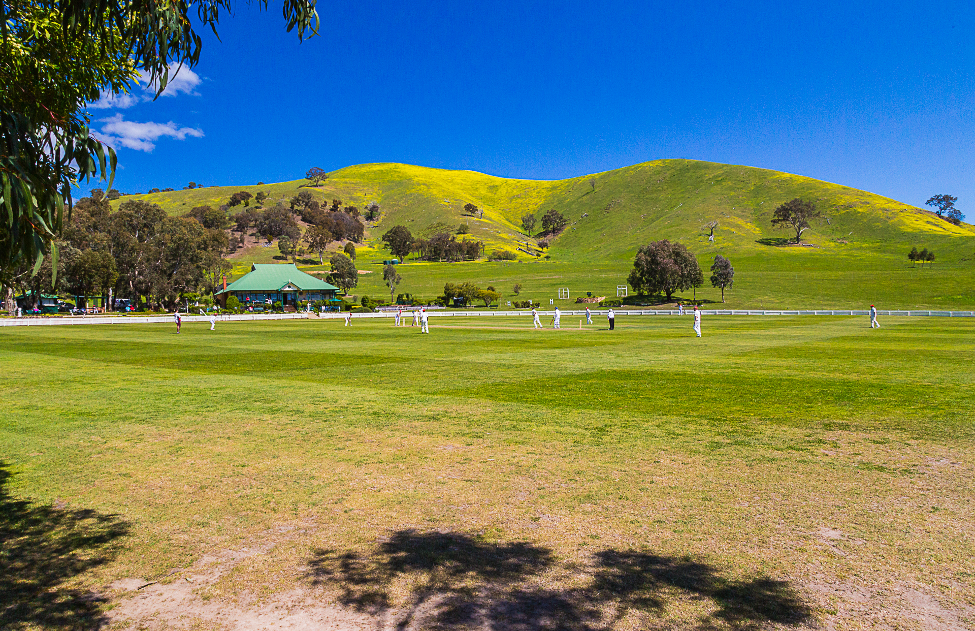
Strath Creek (109 of 119)

Masons Falls, Kinglake
Sole Surviver.
Topographic Map of Long Gully Road, Long Gully Rd, Hazeldene VIC, Australia
Find elevation by address:

Places near Long Gully Road, Long Gully Rd, Hazeldene VIC, Australia:
Hazeldene
2464 Whittlesea-yea Rd
Kinglake West
Yea
Saint Andrews
Nillumbik Shire
Murrindindi Shire
Broadford
Whittlesea City
26a The Parade
Mitchell Shire
Panton Hill
Kangaroo Ground
11 Fitzroy St
Bend Of Islands
Diamond Creek
Kilmore
75 Phipps Cres
206 Yan Yean Rd
91 Gongflers Dr
Recent Searches:
- Elevation of Corso Fratelli Cairoli, 35, Macerata MC, Italy
- Elevation of Tallevast Rd, Sarasota, FL, USA
- Elevation of 4th St E, Sonoma, CA, USA
- Elevation of Black Hollow Rd, Pennsdale, PA, USA
- Elevation of Oakland Ave, Williamsport, PA, USA
- Elevation of Pedrógão Grande, Portugal
- Elevation of Klee Dr, Martinsburg, WV, USA
- Elevation of Via Roma, Pieranica CR, Italy
- Elevation of Tavkvetili Mountain, Georgia
- Elevation of Hartfords Bluff Cir, Mt Pleasant, SC, USA