Elevation of Hazeldene VIC, Australia

Location: Australia > Victoria > Murrindindi Shire >

Longitude: 145.278933

Latitude: -37.363265

Elevation: 330m / 1083feet

Barometric Pressure: 97KPa

Elevation Map:

elevation map of Hazeldene VIC, Australia

Satellite Map:

Satellite map of Hazeldene VIC, Australia

Related Photos:

morning blue sky sun sunrise landscape dawn nikon view au australia melbourne victoria hills 20mm nikkor d610 strathcreek murchisongaplookout
Murchison Gap 6:54am
morning blue sky sun sunrise landscape dawn nikon view au australia melbourne victoria hills 20mm nikkor d610 strathcreek murchisongaplookout
Murchison Gap 6:55am
morning blue trees sky orange sun sunrise landscape dawn nikon view australia victoria hills 20mm nikkor d610 strathcreek murchisongaplookout
Saturday Morning 7:13am
bowdenspur electricty kinglakenationalparkmarch2020 melbourne nationalpark pylons sky telegraphtuesday trees victoria view
Superb blue wren, Kinglake National Park, Victoria
2009 australia c902 lofi lowrez melbourne phonecam sonyericcson victoria utatafeature bushfires bushfire flowerdale aftermath destruction devastation molten metal destroyedhouses geo:lat=37347303 geo:lon=145288053 geotagged flowerdalerelief naae sonyericsson sony mophone lorez fltr pc pc3717 postcode3717 flowerdalepc3717 auspctagged trove australiainpictures troveaus unfound art
Bush Fire Aftermath Flowerdale Victoria Australia
Yea Spur Road
winter chimney weather fog sunrise landscape nikon smoke gap australia lookout hills valleys sunsetssunrises strathcreek murhison cloudsstormssunsetssunrises
The Fellowship of the Fog
morning blue trees light shadow sky orange sun man male silhouette standing self sunrise landscape person dawn nikon glow view australia victoria lookout hills backpack 20mm nikkor viewpoint sunbeam flowerdale selfie d610 lookingforward strathcreek murchisongaplookout
Sunrise 7:29am
trees sky green bird forest geotagged fire interestingness bush bluesky victoria explore growth ibis burnt bushfires bif birdinflight aug9 explored inexplore tomraven aravenimage q309 geo:lat=37359272 geo:lon=145110941
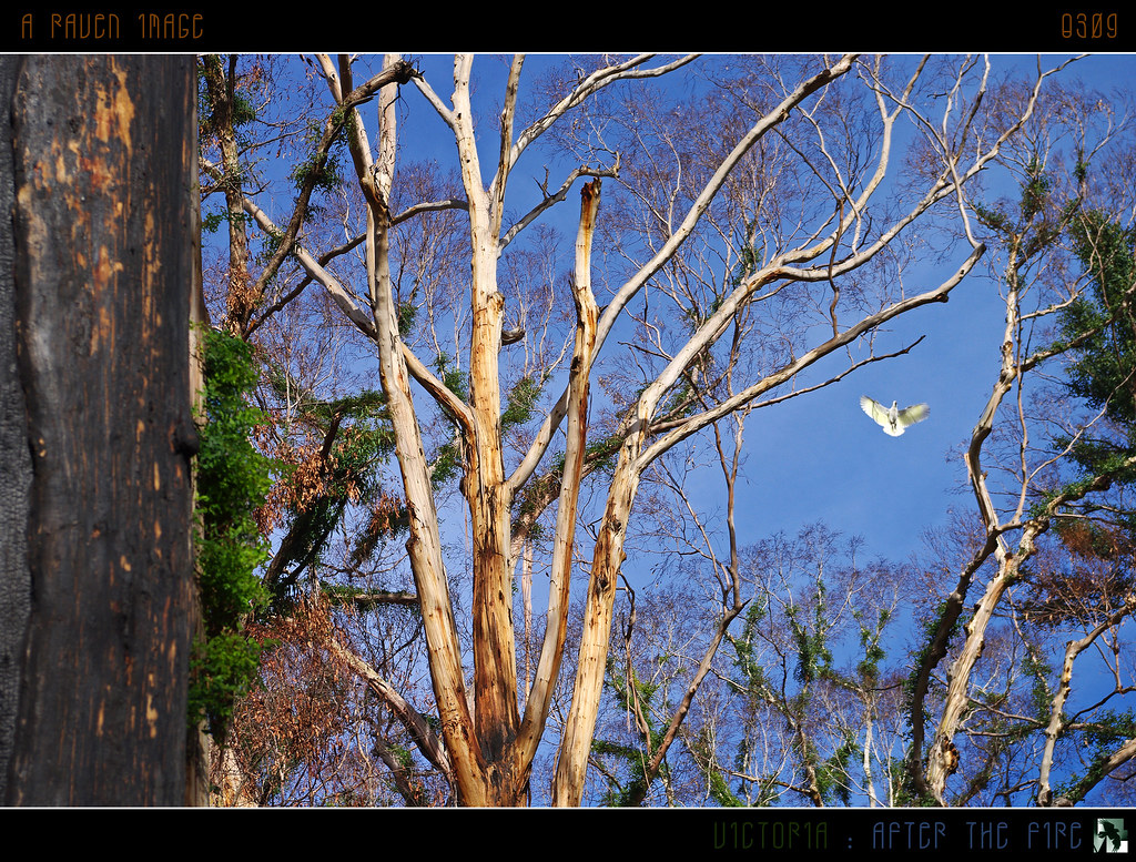
Victoria - After The Fire
humevale fire damage dickinson collection whittleseayea road bushfires ruins victorian black saturday 2009 buildings blacksaturdaybushfires2009 dickinsoncollection firedamagebuildings firedamage fireruins victorianbushfires whittleseayearoad victoria australia au
Fire damage at Humevale viewed looking south from Whittlesea-Yea Road; Friday, 13 March, 2009
humevale fire damage black saturday bushfires 2009 whittleseayea road ruins victorian dickinson collection buildings blacksaturdaybushfires2009 dickinsoncollection firedamagebuildings firedamage fireruins victorianbushfires whittleseayearoad victoria australia au
Fire damage at Humevale viewed looking south from Whittlesea-Yea Road; Friday, 13 March, 2009
victoria australia murchisongap
Murchison Gap
fog sunrise australia strathcreek canon24105l canoneos6d
Strath Creek 2014-06-14 (IMG_4542-4)
2017 ccc strathcreek murchisongaplookout hills valleys gdfilter nikond750 landscape outdoor trees sunrise australia gumtrees cloudsstormssunsetssunrises nikon24120
Over the Hills and Far Away DSC_5394
2017 ccc strathcreek murchisongaplookout sunrise landscape outdoors hills gumtrees valleys cloudsstormssunsetssunrises light nikond750 nikon24120
Coming Up DSC_5367
fog sunrise australia melbourne strathcreek canon24105l canoneos6d
Strath Creek 2014-06-14 (IMG_4619-4639)
fog australia strathcreek canon24105l canoneos6d
Strath Creek 2014-06-14 (IMG_4577-90)
fog sunrise australia strathcreek canon24105l canoneos6d
Foggy sunrise 2014-06-14 (IMG_4467-80)
fog sunrise australia strathcreek canon24105l canoneos6d
Foggy Strath Creek sunrise 2014-06-14 (IMG_4432-8)
fog sunrise australia strathcreek canon24105l canoneos6d
Strath Creek 2014-06-14 (IMG_4467-73)
australia australian victoria gumtree hills summer clouds hot pastures nikpn davidyoung yea nature landscape sky afsnikkor50mm14g
Summer Heat
waterfall hiking
Strath Creek Falls
bushfires 2009 victoria australia flowerdale geo:lat=37347814 geo:lon=145286036 geotagged pc3658 auspctagged auspctagged3658 flowedalepc3658 flowerdalerelief naae vertical trove australiainpictures troveaus unfound art
Bush Fire Aftermath Flowerdale Victoria Australia
bushfires flowerdale victoria australia 2009 geo:lat=37347439 geo:lon=145286508 geotagged pc3658 auspctagged auspctagged3658 flowedalepc3658 flowerdalerelief naae trove australiainpictures troveaus unfound art
Bush Fire Aftermath Flowerdale Victoria Australia
bushfires flowerdale victoria australia 2009 geo:lat=37347576 geo:lon=145286508 geotagged pc3658 auspctagged auspctagged3658 flowedalepc3658 flowerdalerelief trove australiainpictures troveaus unfound art
Bush Fire Aftermath Flowerdale Victoria Australia
square squareformat amaro iphoneography instagramapp uploaded:by=instagram foursquare:venue=4e059cff1f6e211033812bb2
regrowth post the 2009 bush fires
coburg au australia victoria cricket thepavillion strathcreek westcoburg
West Coburg Vs Coburg
waterfalls bushfire regeneration kinglake bushland masonsfalls parksvictoria canon60d
Masons Falls, Kinglake