Elevation of Lone Star Rd, Bald Knob, AR, USA
Location: United States > Arkansas > White County > Cypert Township >
Longitude: -91.488093
Latitude: 35.233544
Elevation: 65m / 213feet
Barometric Pressure: 101KPa
Elevation Map:
Satellite Map:
Related Photos:

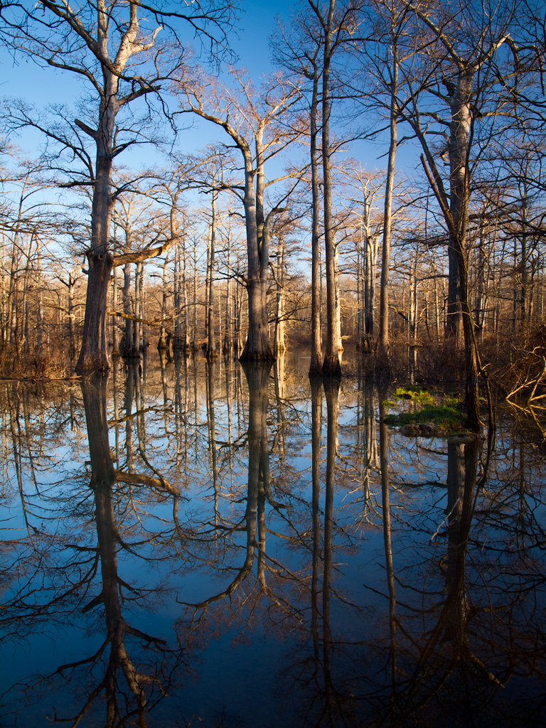
On Bollie Pond
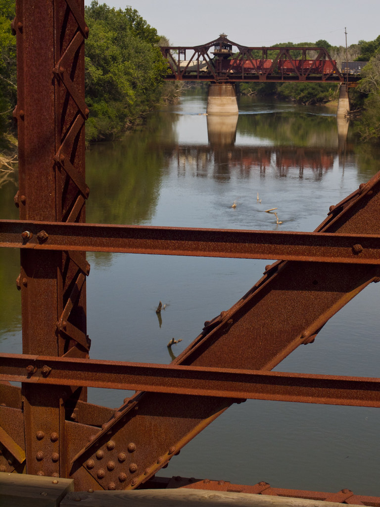
Dueling Bridges
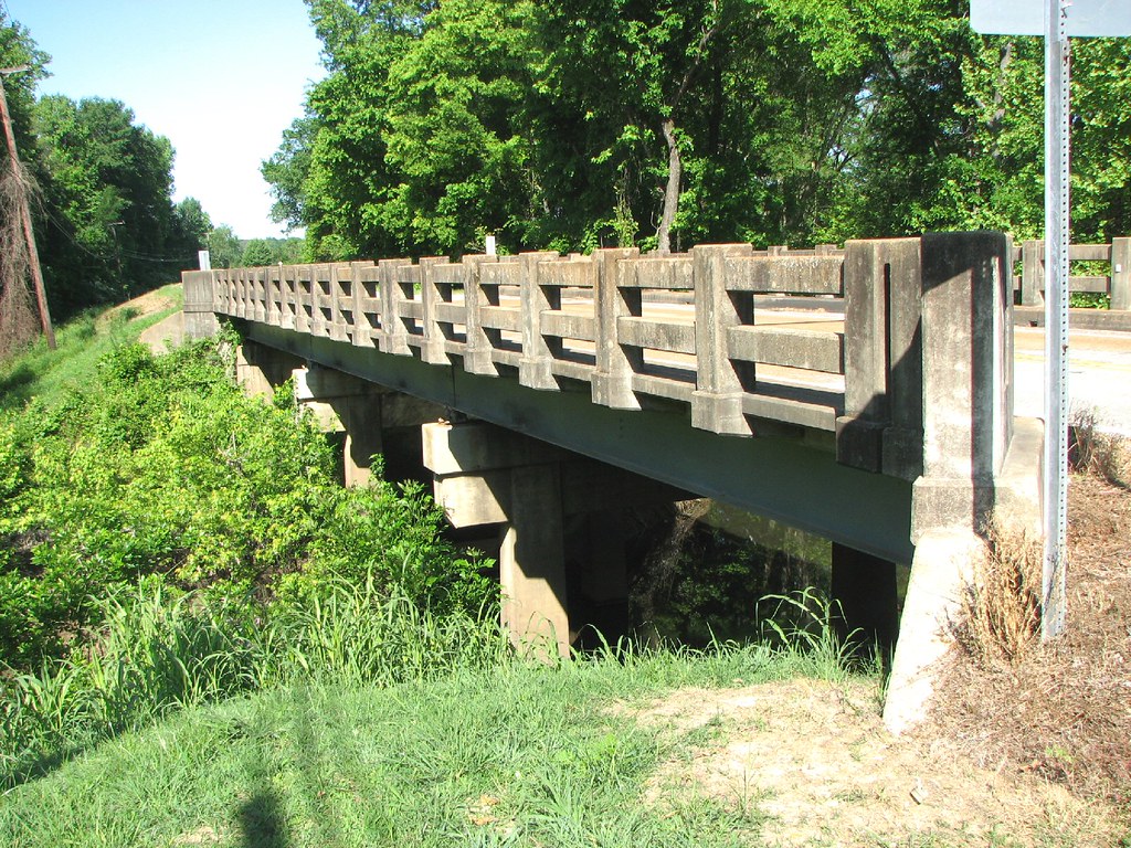
Corley Branch Bridge-Side View
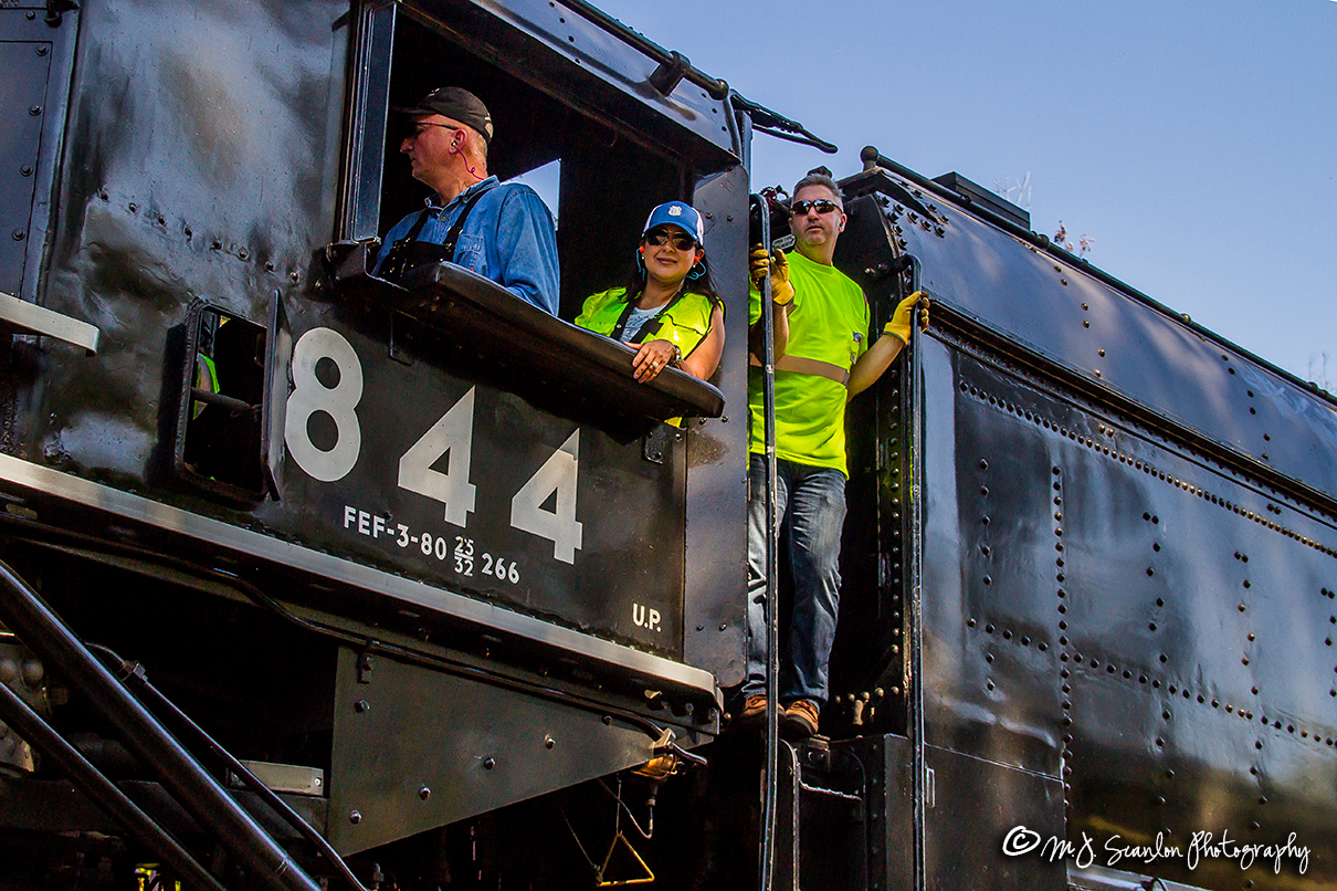
Union Pacific 844 | 4-8-4 Steam | UP Memphis Subdivision 5
Bollie-wood
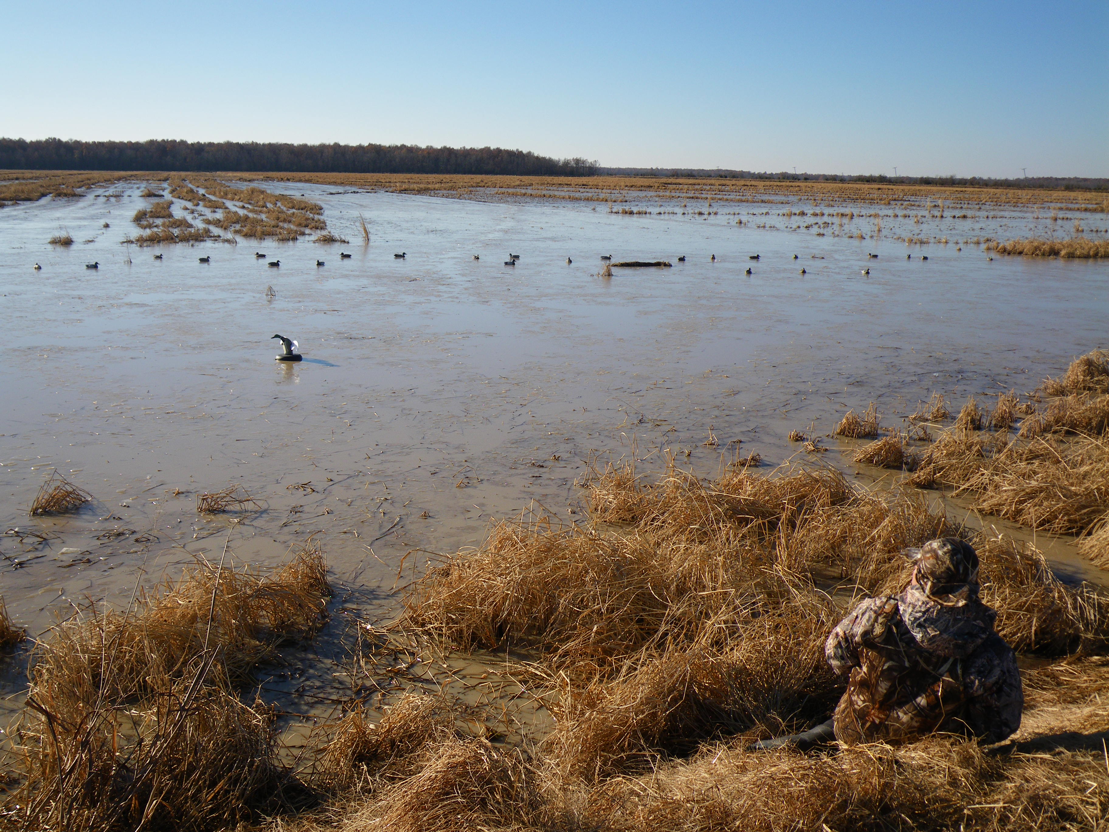
12-07-2008 8-21-37 AM_0024_Duck_Hunting_Bald_Knob

1-5-2009 8-17-17 AM_0001_Bald Knob_Jeff_Logan_Steven

The gang's all here!
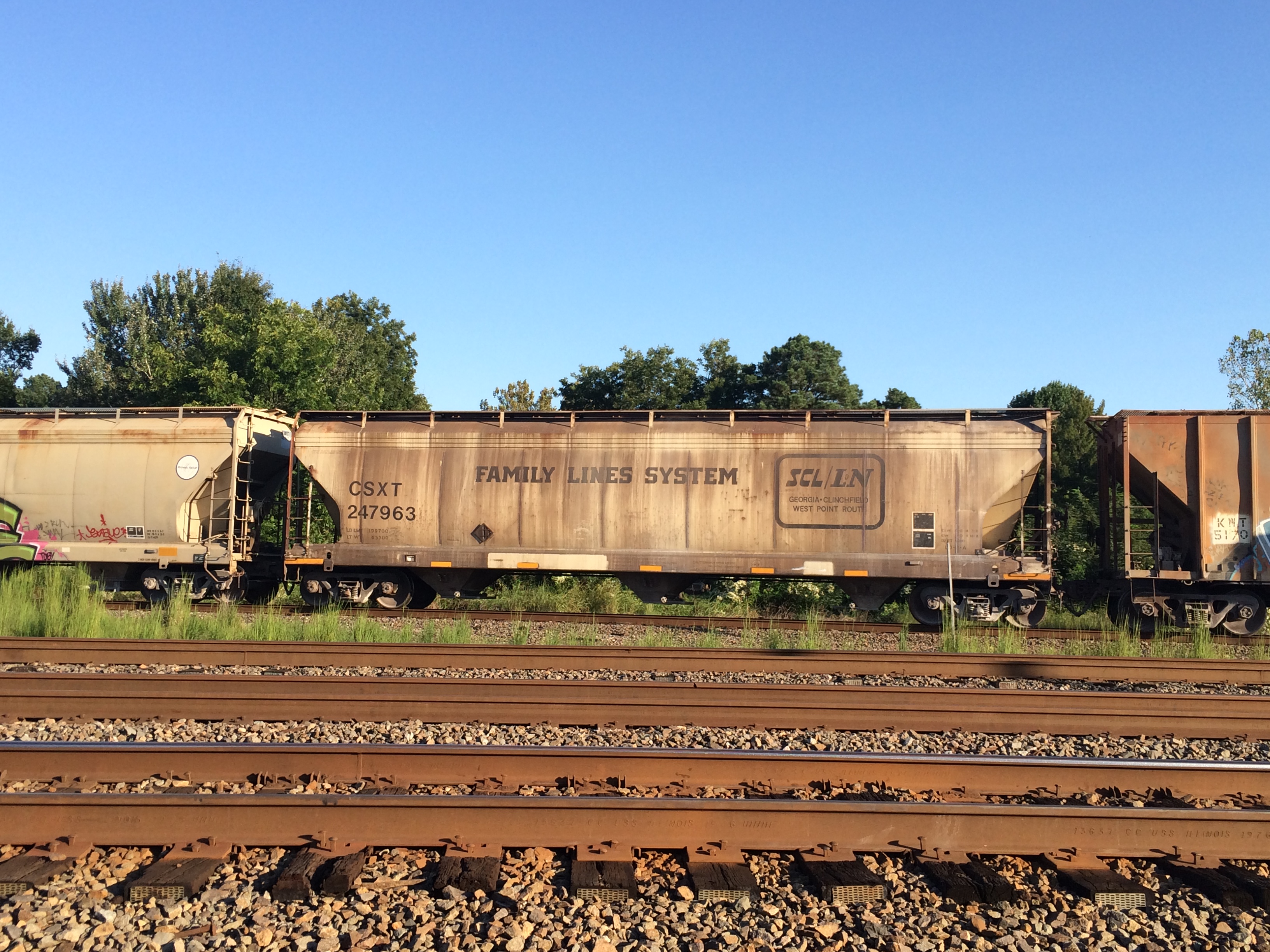
Family Lines

Finding Nimmo

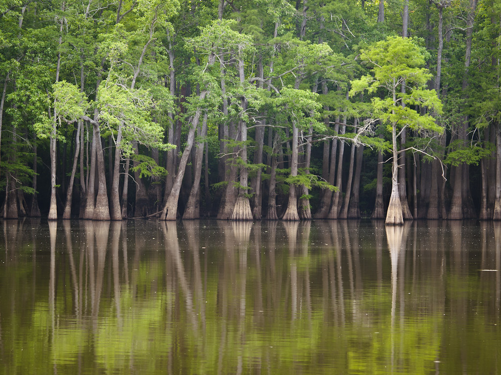
Big Bell Lake
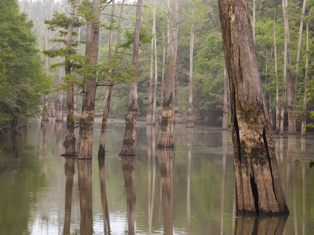
Big Bell Lake
Glaise Creek
Topographic Map of Lone Star Rd, Bald Knob, AR, USA
Find elevation by address:

Places near Lone Star Rd, Bald Knob, AR, USA:
Cypert Township
Nimmo Rd, Searcy, AR, USA
US-64, Bald Knob, AR, USA
Bald Knob
AR-36, Searcy, AR, USA
AR-36, Searcy, AR, USA
S Elm St, Bald Knob, AR, USA
Bald Knob
202 Adkins St
Red River Township
Judsonia
Wilbur D Mills Ave, Kensett, AR, USA
Kensett Township
Kensett
Harrison Township
450 Ar-367
Hwy N, Judsonia, AR, USA
2210 Dodge Ave
2001 Benton St
Harding University
Recent Searches:
- Elevation of Corso Fratelli Cairoli, 35, Macerata MC, Italy
- Elevation of Tallevast Rd, Sarasota, FL, USA
- Elevation of 4th St E, Sonoma, CA, USA
- Elevation of Black Hollow Rd, Pennsdale, PA, USA
- Elevation of Oakland Ave, Williamsport, PA, USA
- Elevation of Pedrógão Grande, Portugal
- Elevation of Klee Dr, Martinsburg, WV, USA
- Elevation of Via Roma, Pieranica CR, Italy
- Elevation of Tavkvetili Mountain, Georgia
- Elevation of Hartfords Bluff Cir, Mt Pleasant, SC, USA