Elevation of Bald Knob, AR, USA
Location: United States > Arkansas > White County > Bald Knob >
Longitude: -91.567911
Latitude: 35.3098066
Elevation: 69m / 226feet
Barometric Pressure: 100KPa
Elevation Map:
Satellite Map:
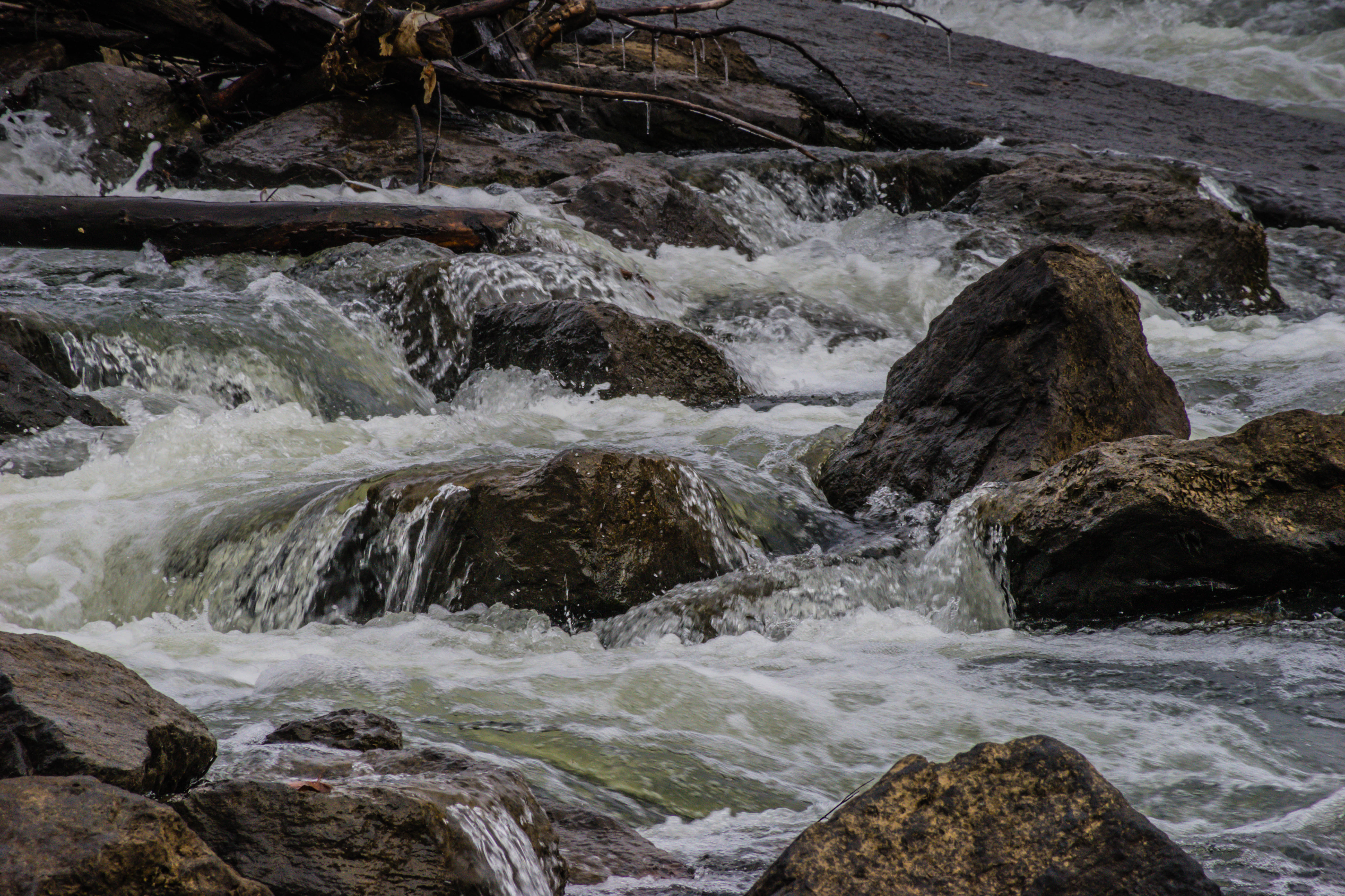
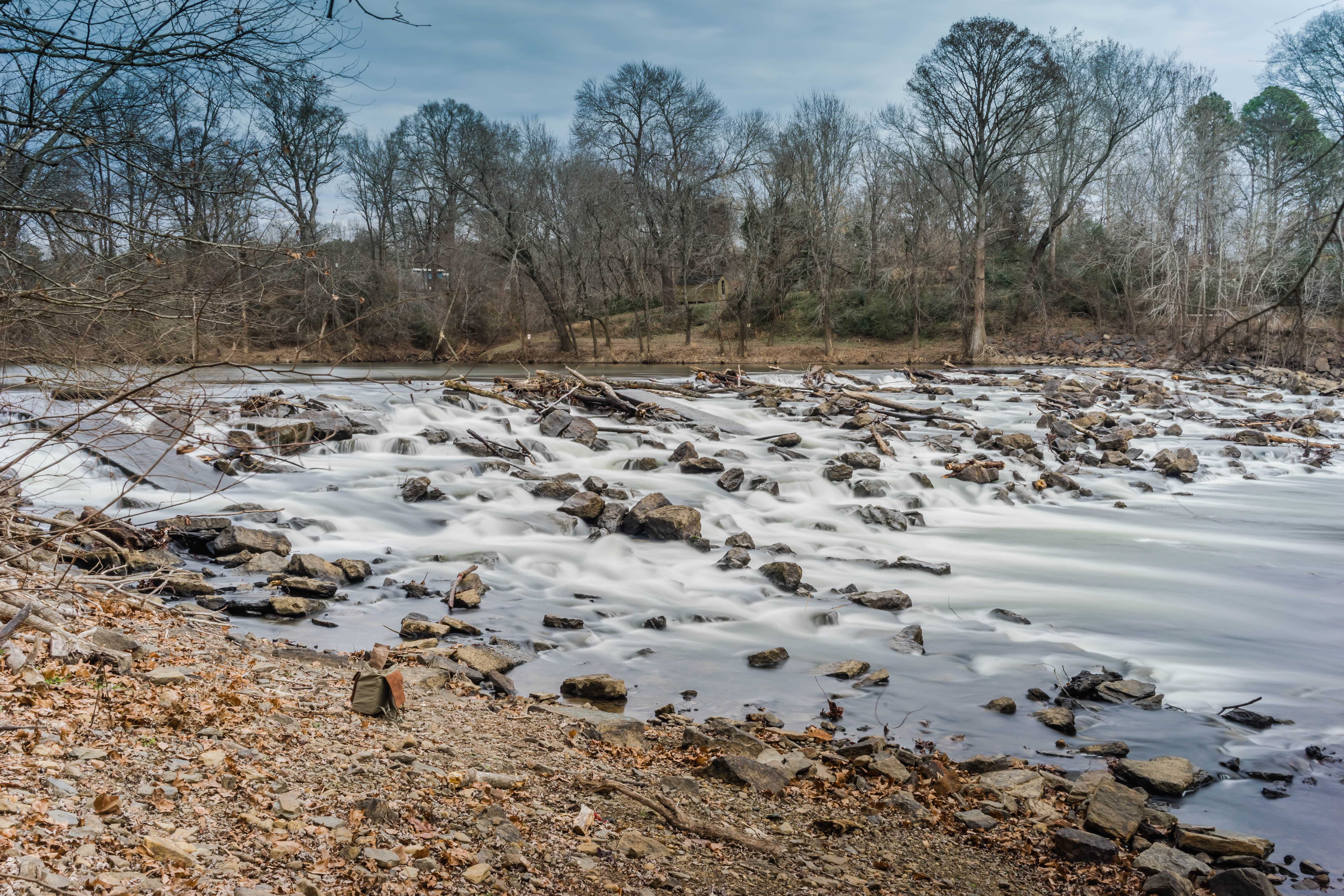
Related Photos:

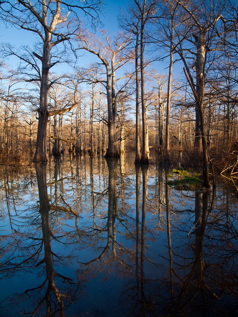
On Bollie Pond

Early morning fall colors
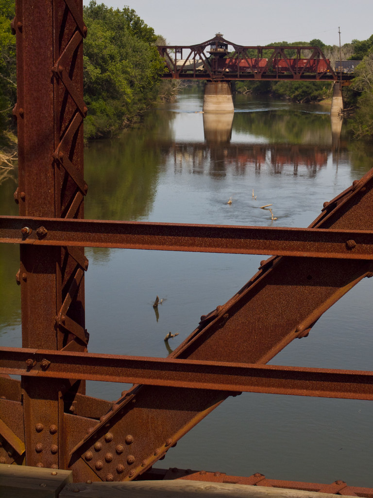
Dueling Bridges
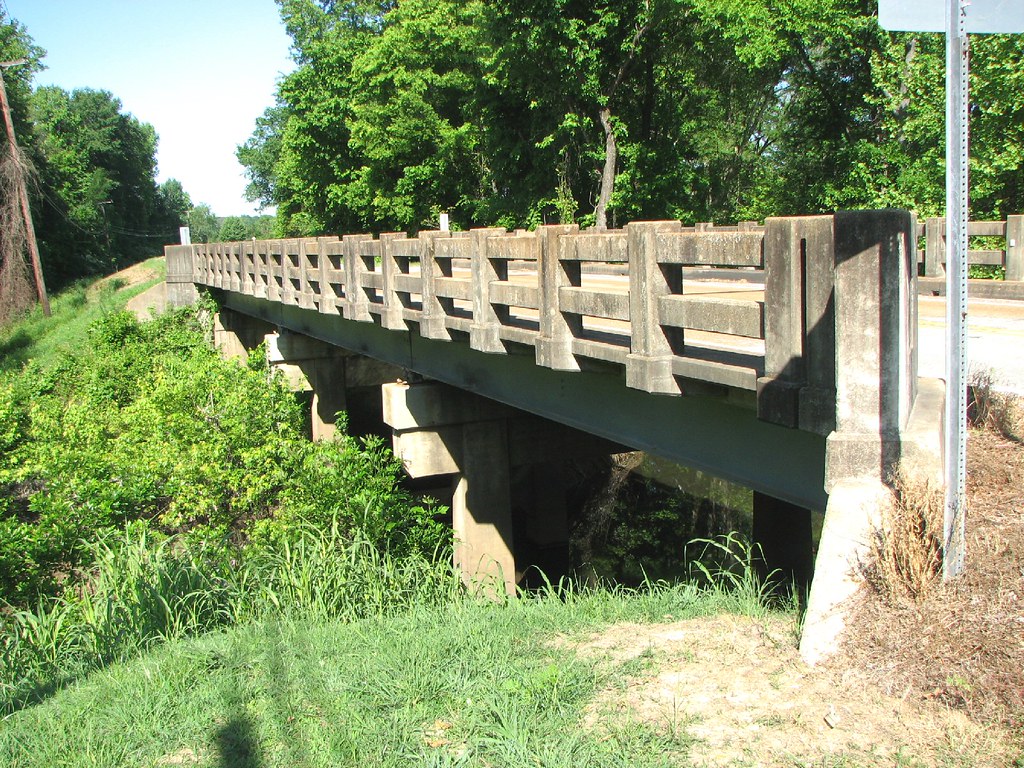
Corley Branch Bridge-Side View
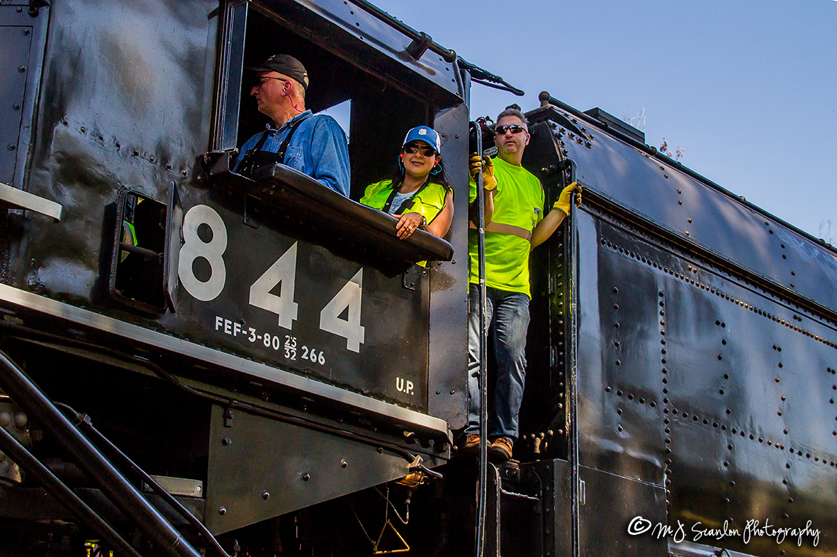
Union Pacific 844 | 4-8-4 Steam | UP Memphis Subdivision 5
Bollie-wood
Happy Christmas (War is Over)

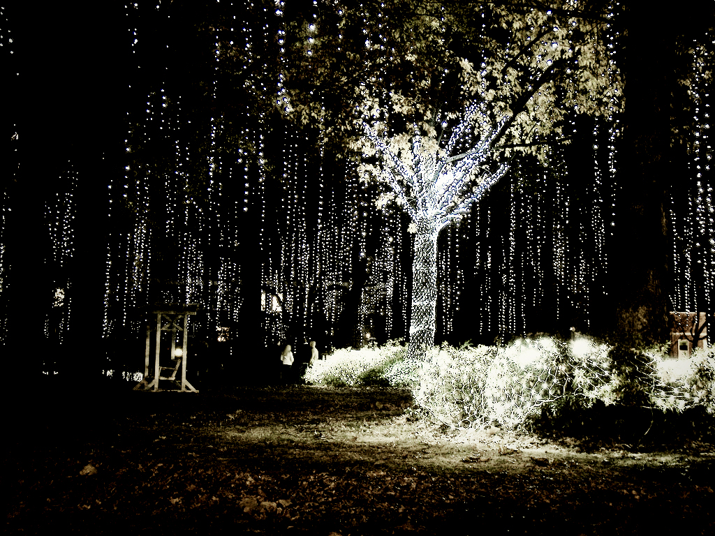
Fall pathway
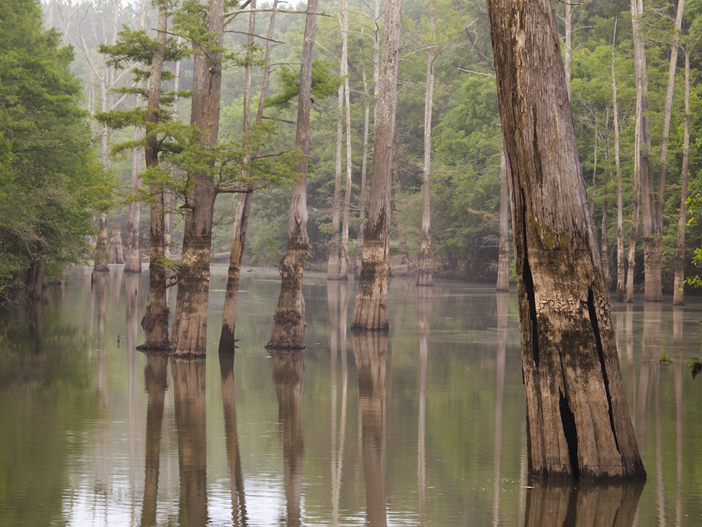
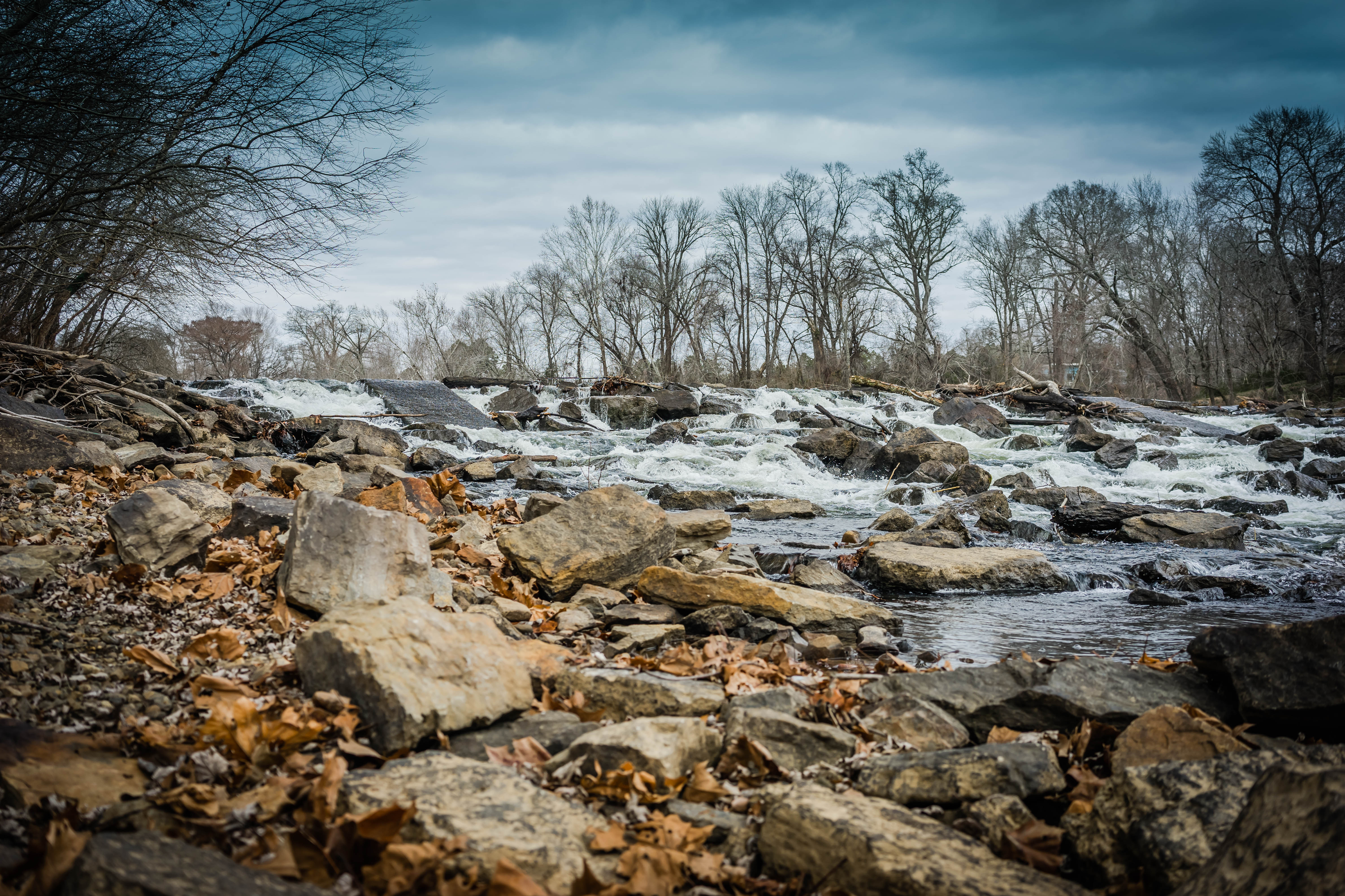
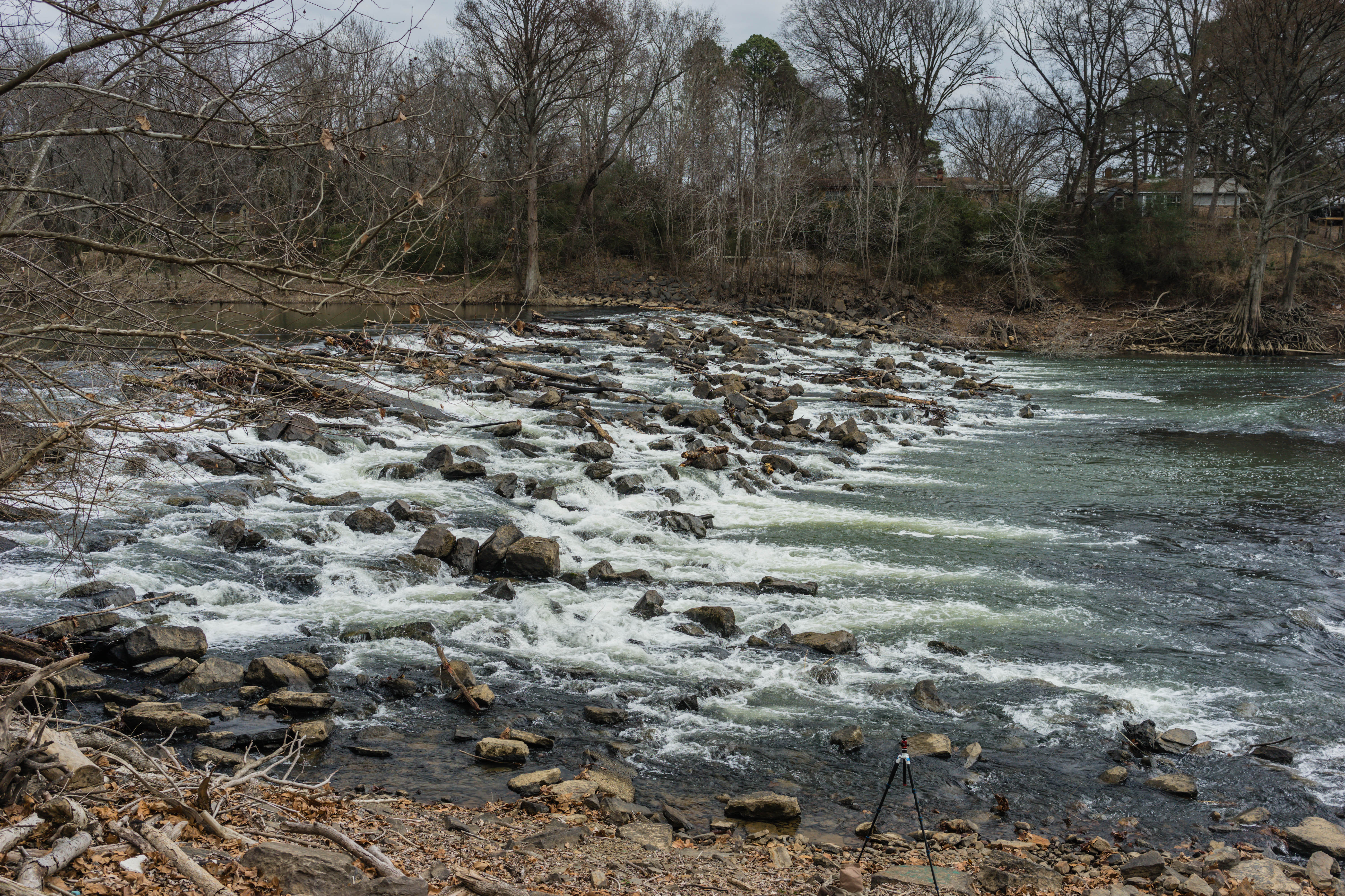
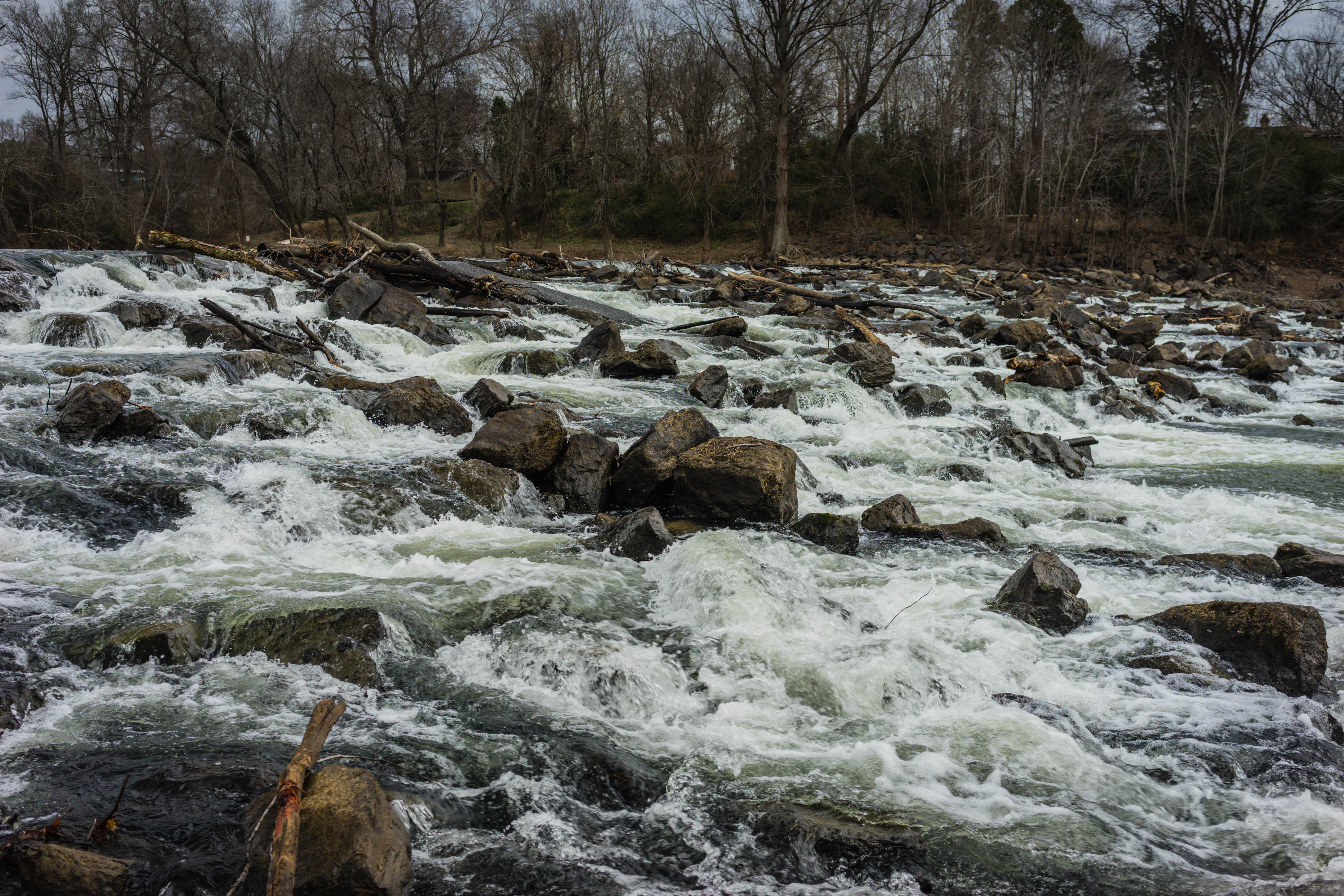
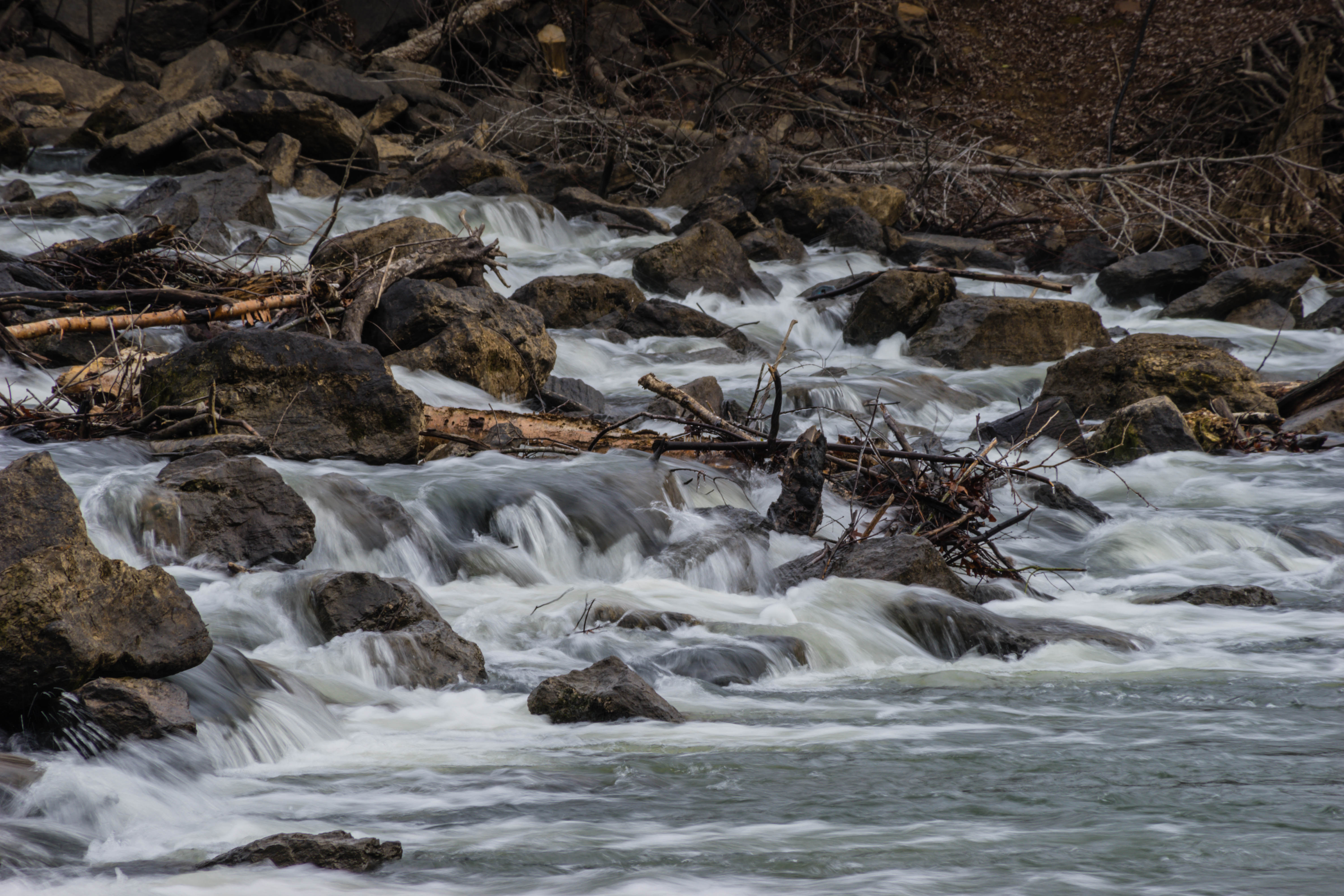
Glaise Creek
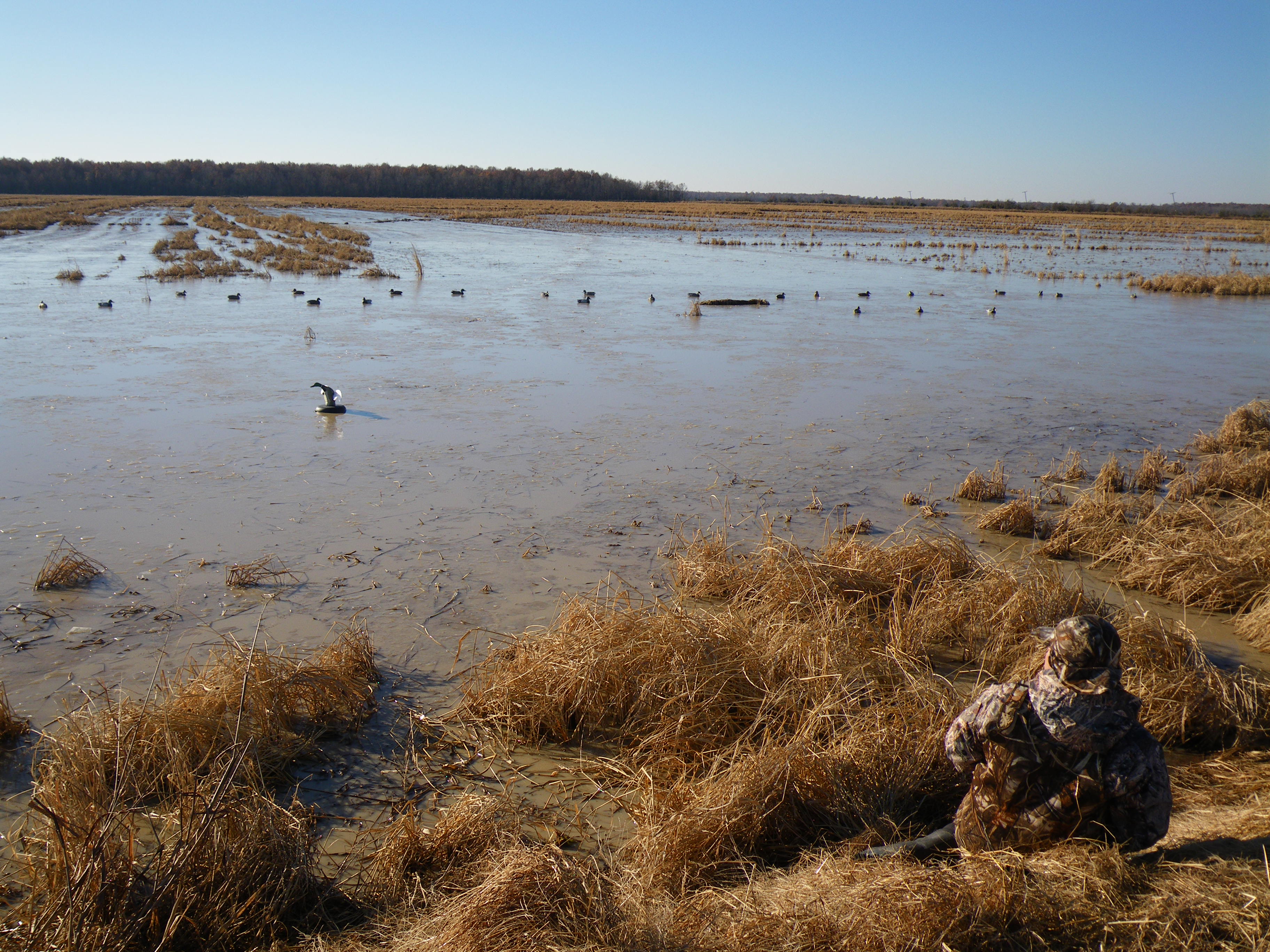
12-07-2008 8-21-37 AM_0024_Duck_Hunting_Bald_Knob

1-5-2009 8-17-17 AM_0001_Bald Knob_Jeff_Logan_Steven

The gang's all here!
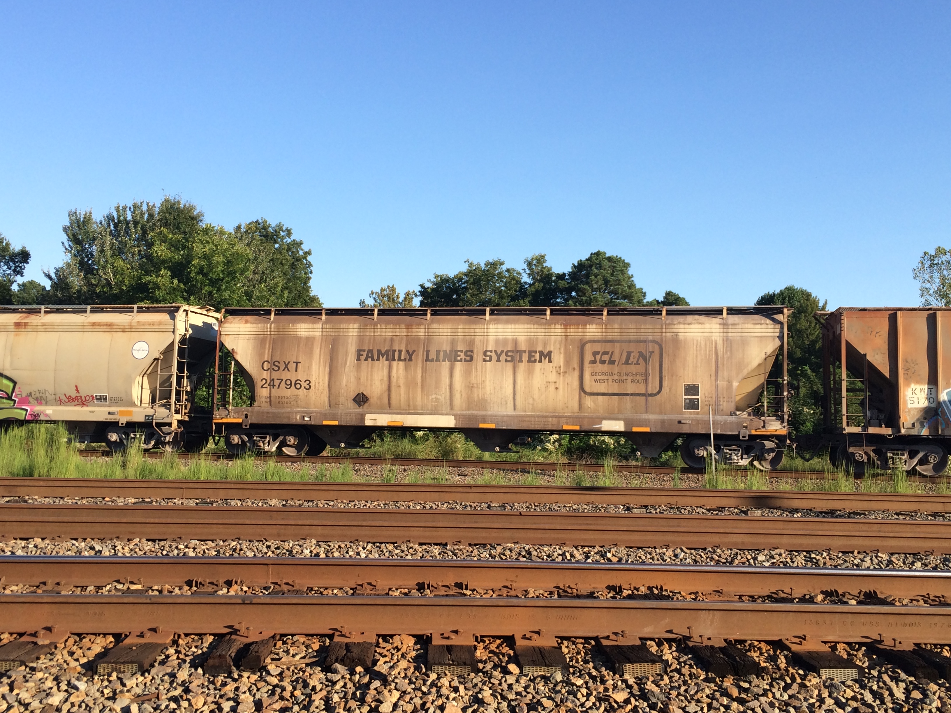
Family Lines

Newport Local

UP GP60s 1130 & 1118
_DSC0722.jpg
_DSC0703.jpg

_DSC0702.jpg
_DSC0689.jpg

_DSC0668.jpg

_DSC0662.jpg
_DSC0659.jpg

_DSC0657.jpg
_DSC0656.jpg
_DSC0654.jpg
Topographic Map of Bald Knob, AR, USA
Find elevation by address:

Places in Bald Knob, AR, USA:
Places near Bald Knob, AR, USA:
S Elm St, Bald Knob, AR, USA
202 Adkins St
Bald Knob
Judsonia
Harrison Township
US-64, Bald Knob, AR, USA
Hwy N, Judsonia, AR, USA
Lone Star Rd, Bald Knob, AR, USA
Cypert Township
450 Ar-367
AR-36, Searcy, AR, USA
Wilbur D Mills Ave, Kensett, AR, USA
Kensett
Kensett Township
AR-36, Searcy, AR, USA
Red River Township
2210 Dodge Ave
Nimmo Rd, Searcy, AR, USA
1302 Fox Ave
2001 Benton St
Recent Searches:
- Elevation of Corso Fratelli Cairoli, 35, Macerata MC, Italy
- Elevation of Tallevast Rd, Sarasota, FL, USA
- Elevation of 4th St E, Sonoma, CA, USA
- Elevation of Black Hollow Rd, Pennsdale, PA, USA
- Elevation of Oakland Ave, Williamsport, PA, USA
- Elevation of Pedrógão Grande, Portugal
- Elevation of Klee Dr, Martinsburg, WV, USA
- Elevation of Via Roma, Pieranica CR, Italy
- Elevation of Tavkvetili Mountain, Georgia
- Elevation of Hartfords Bluff Cir, Mt Pleasant, SC, USA