Elevation of Lois Ln, Arlington, WA, USA
Location: United States > Washington > Snohomish County > Arlington >
Longitude: -122.12308
Latitude: 48.1820197
Elevation: 42m / 138feet
Barometric Pressure: 101KPa
Elevation Map:
Satellite Map:
Related Photos:

Pilchuck's Alpenglow
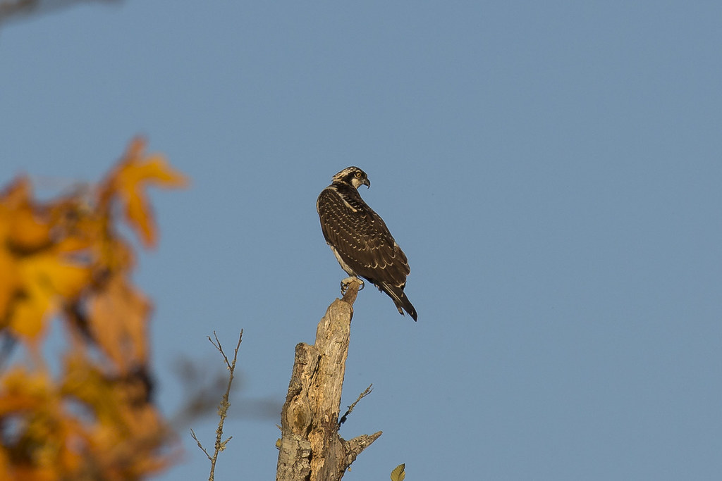
Osprey (3793) (eBird Rarity)
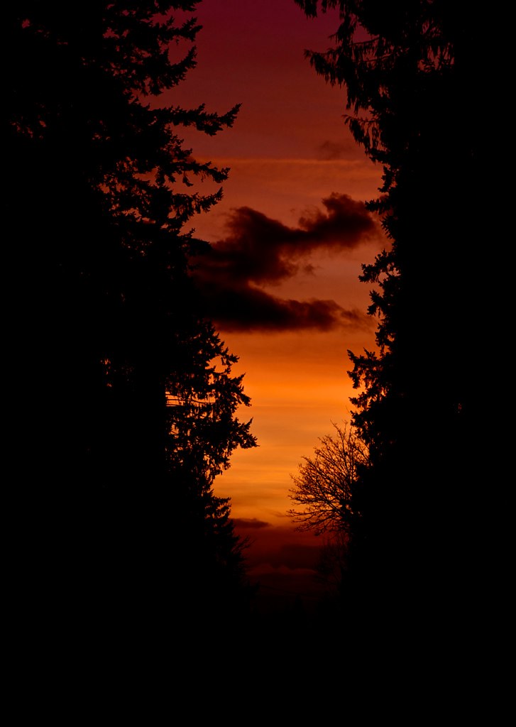
Sunset through the trees
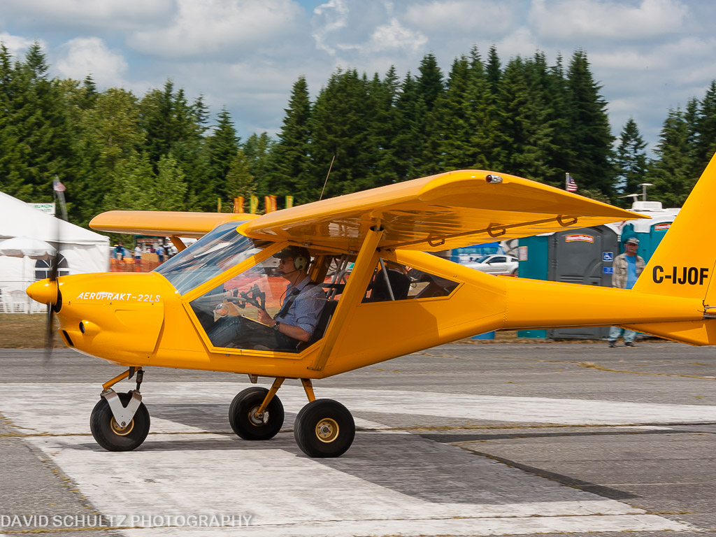
2011 KGA Foxbat A22 C-IJOF
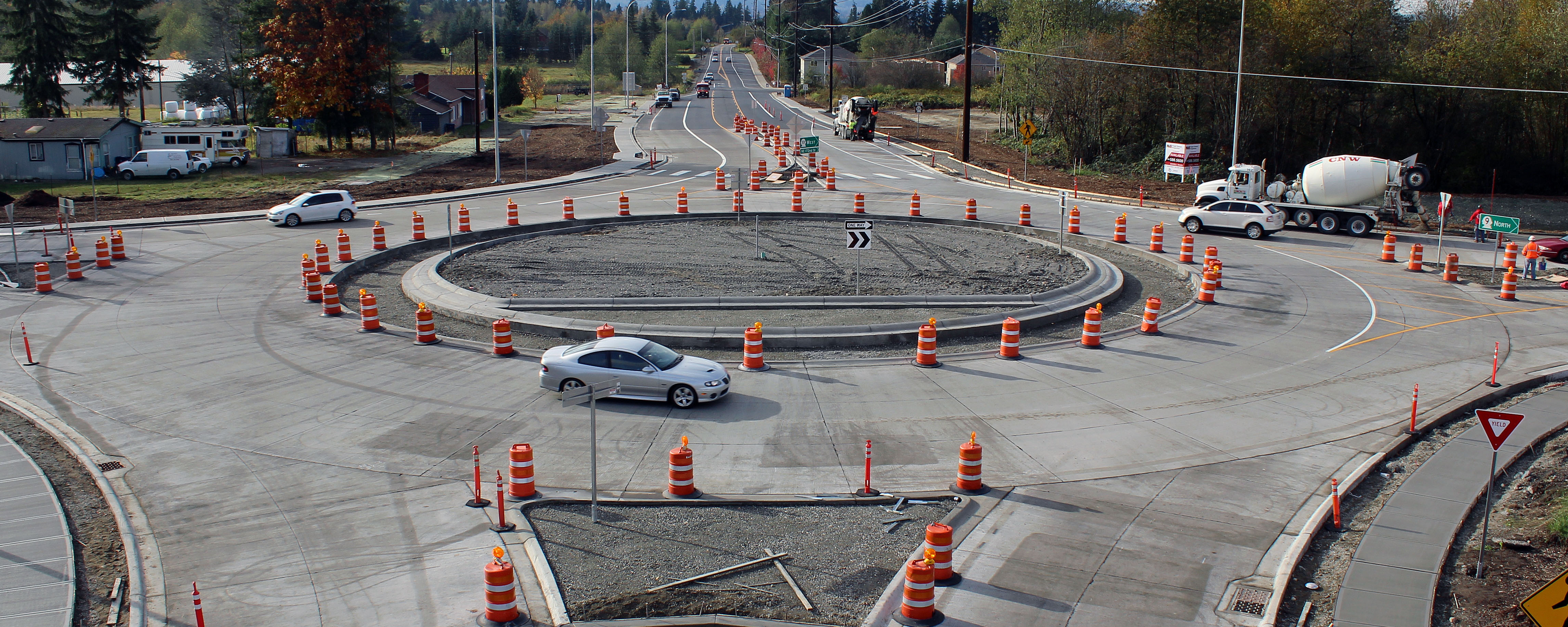
New SR 9 roundabout in Arlington

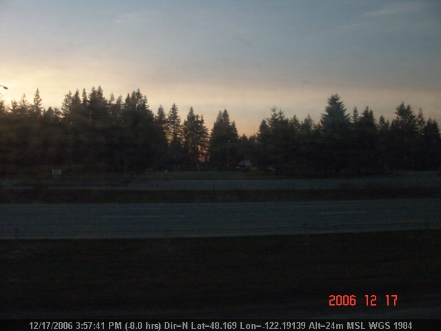
Sunset in Arlington
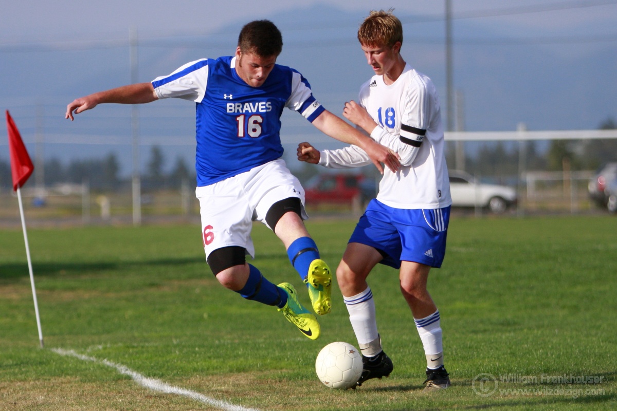
NW2b/1B La Conner and Grace Academy Captains Fight For The Ball
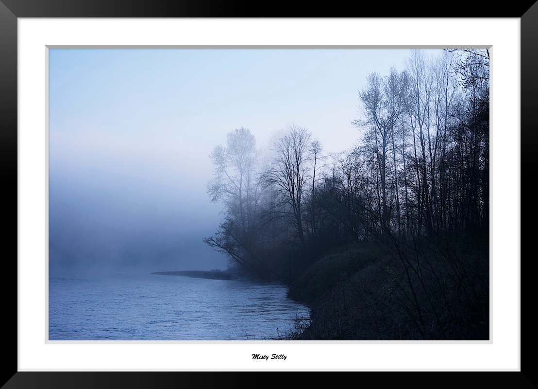
Misty Stilly

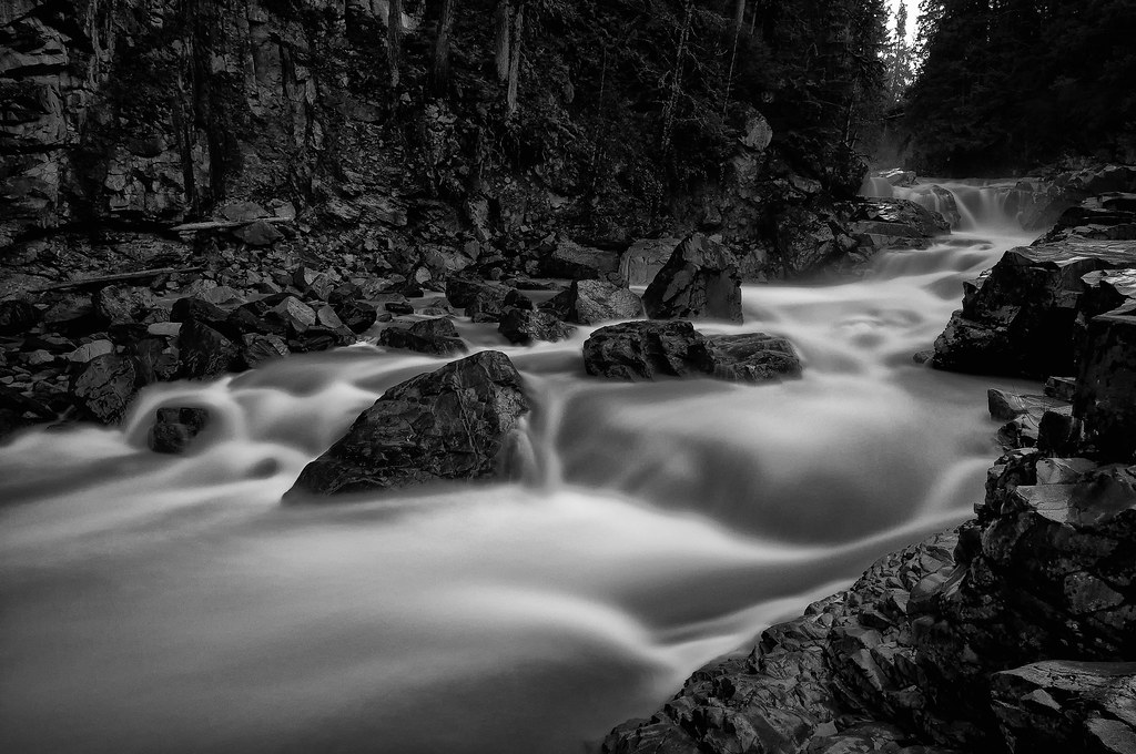
The river wild
Granite in Gray
LV1293DSC00676.JPG
LV1312DSC00695.JPG
Lake Cassidy WA
DSC06167.JPG

Dog's Eye View.
LV1284DSC00667.JPG
LV1282DSC00665.JPG
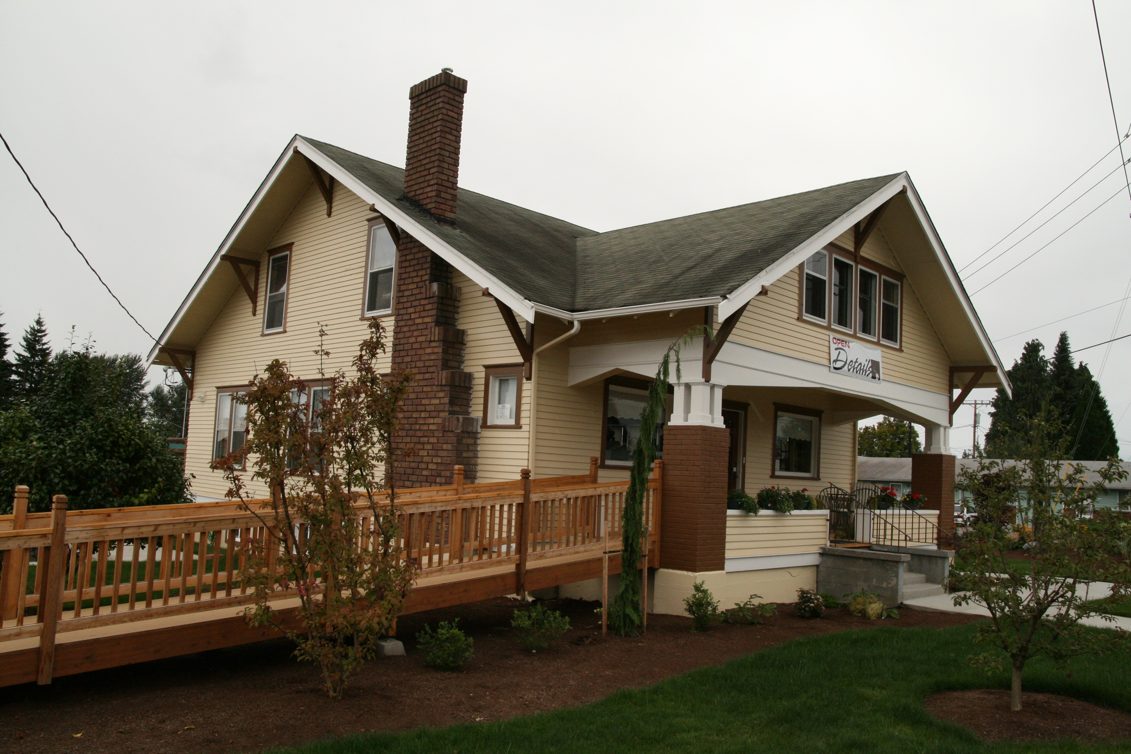
Details Home Decor & Gifts

Morning Time
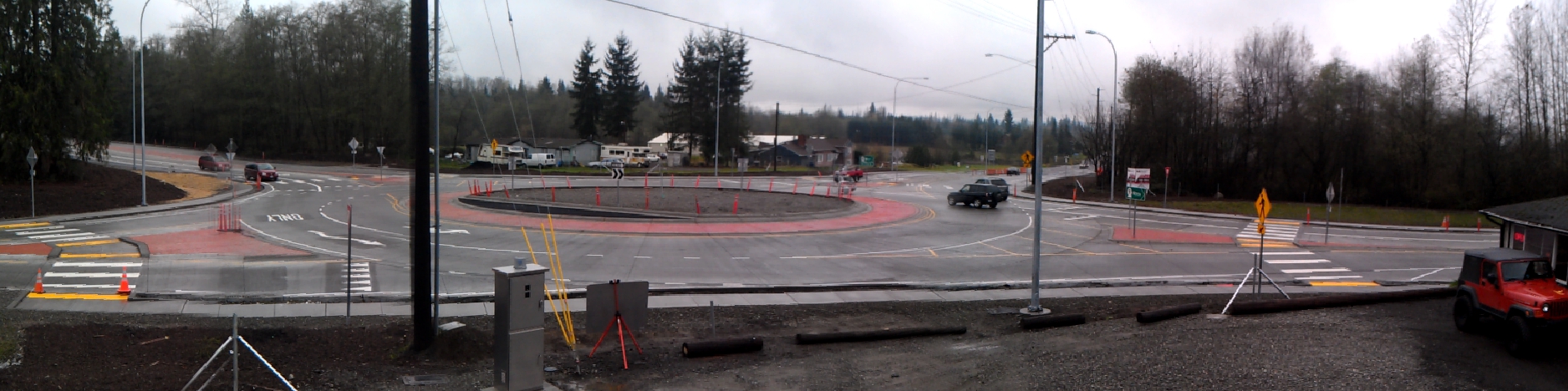
Panoramic view of new SR 9 roundabout in Arlington
DSC06272.JPG

Tulips Sunrise

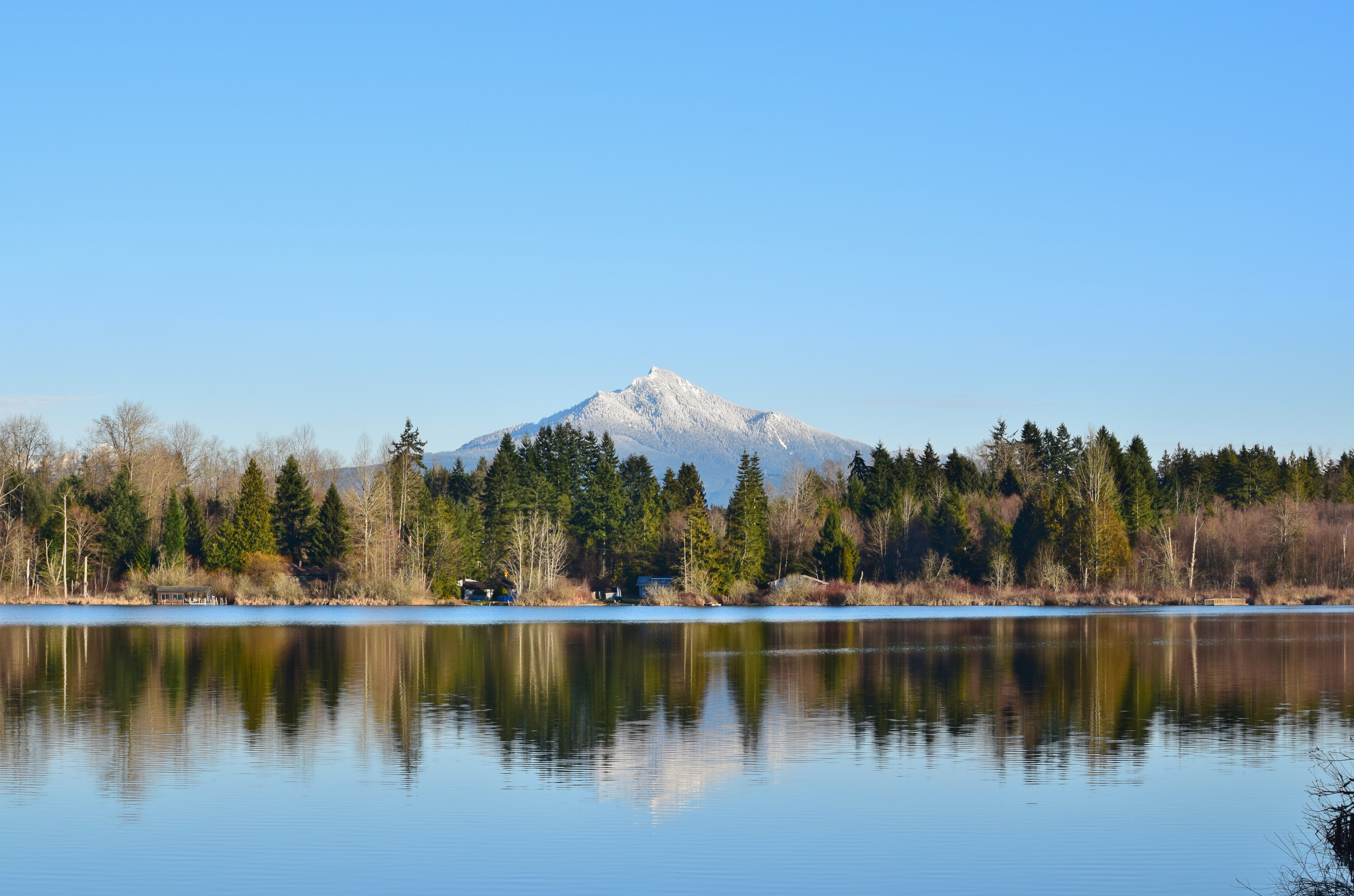
Good Morning, Mountain
misty walk

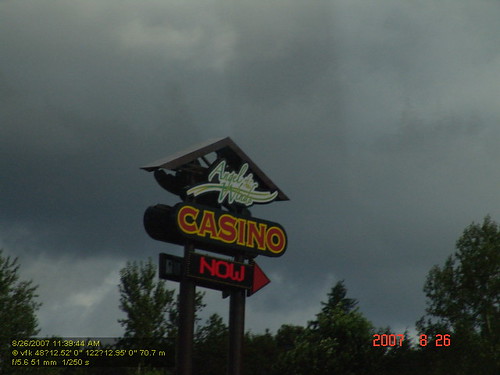
Angry cloud

Calm Stilly

Sunset over Lake Cassidy
Big ol caves.
Stillaguamish River
Quilceda Creek at high tide

Nakashima Barn Star Trail

A new day

2012-09-11__IMG0826 6 images-Edit
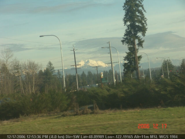
Smokey Point

Farmland & Mountains

Cold but sunny!!
Smokey Point
Amazing natural wood formations / texture

Fall Barn
Topographic Map of Lois Ln, Arlington, WA, USA
Find elevation by address:

Places near Lois Ln, Arlington, WA, USA:
7900 200th St Ne
7900 200th St Ne
19506 Knoll Dr
19818 74th Ave Ne
Burn Road
1210 E 5th St
Arlington
Haller Park
20312 97th Ave Ne
20313 97th Ave Ne
5427 Cemetery Rd
10208 190th St Ne
19727 51st Dr Ne
24718 Wa-9
10915 Moran Rd
18711 Zaretzke Rd
10825 Homestead Rd
24821 59th Ave Ne
19228 46th Dr Ne
25421 70th Ave Ne
Recent Searches:
- Elevation of Corso Fratelli Cairoli, 35, Macerata MC, Italy
- Elevation of Tallevast Rd, Sarasota, FL, USA
- Elevation of 4th St E, Sonoma, CA, USA
- Elevation of Black Hollow Rd, Pennsdale, PA, USA
- Elevation of Oakland Ave, Williamsport, PA, USA
- Elevation of Pedrógão Grande, Portugal
- Elevation of Klee Dr, Martinsburg, WV, USA
- Elevation of Via Roma, Pieranica CR, Italy
- Elevation of Tavkvetili Mountain, Georgia
- Elevation of Hartfords Bluff Cir, Mt Pleasant, SC, USA