Elevation of E 5th St, Arlington, WA, USA
Location: United States > Washington > Snohomish County > Arlington >
Longitude: -122.11425
Latitude: 48.19554
Elevation: 54m / 177feet
Barometric Pressure: 101KPa
Elevation Map:
Satellite Map:
Related Photos:

Diamond T Flatbed ( Explored ).

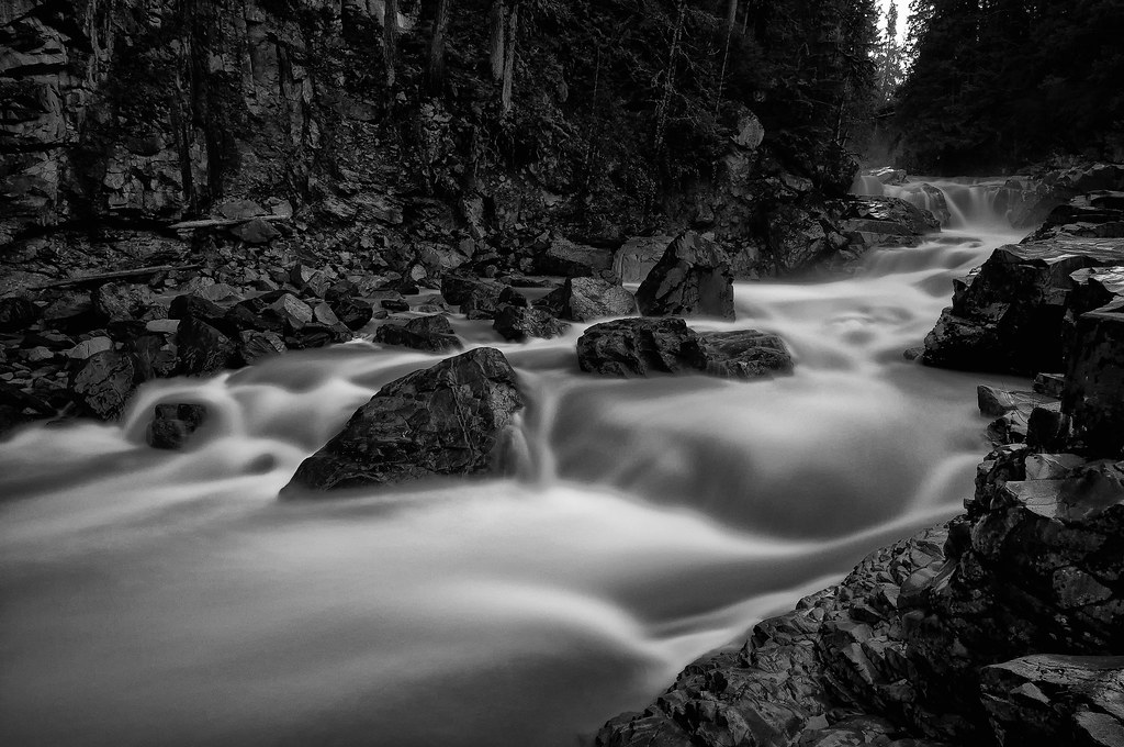
The river wild

Golden Twins
Granite in Gray
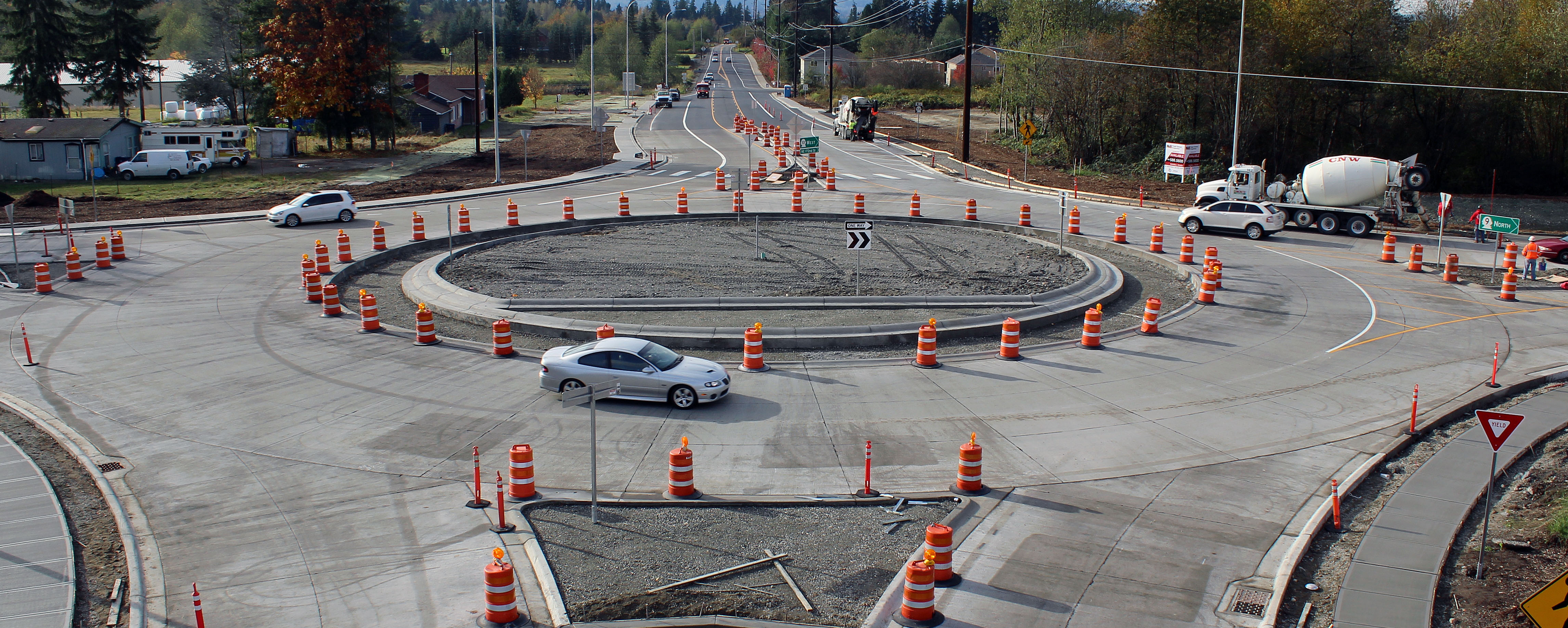
New SR 9 roundabout in Arlington

Fuchsia Stars.
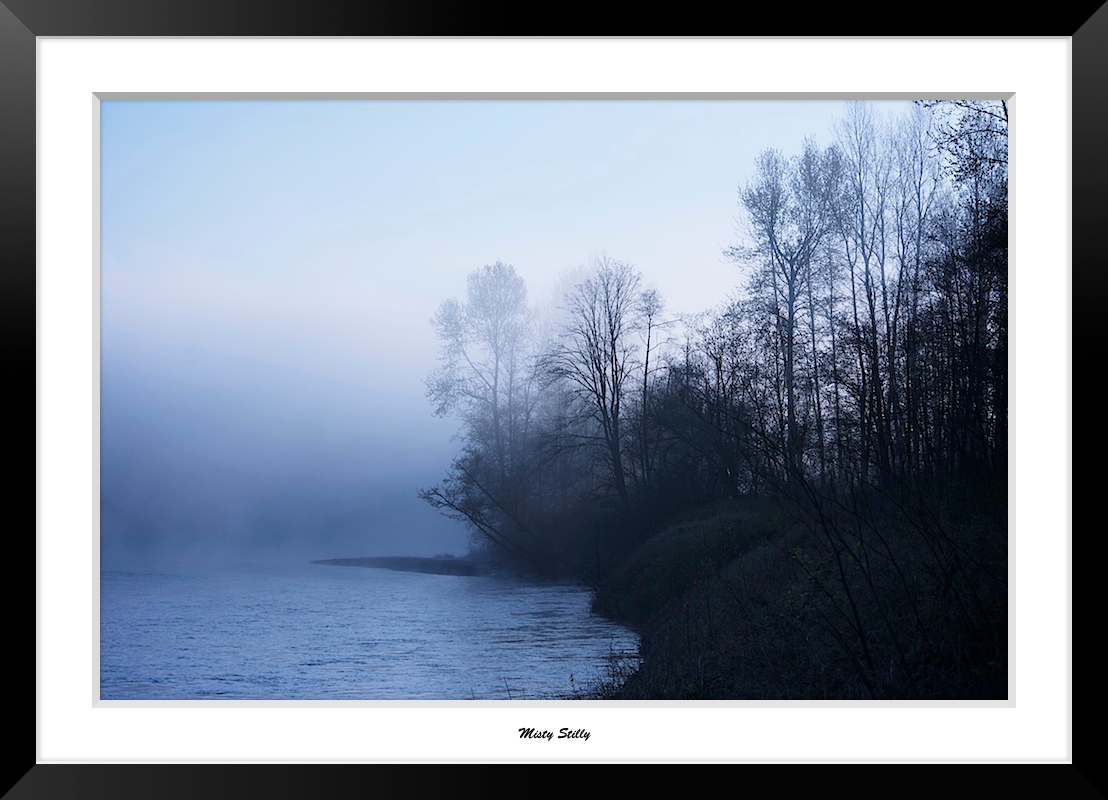
Misty Stilly
LV1293DSC00676.JPG
LV1286DSC00669.JPG

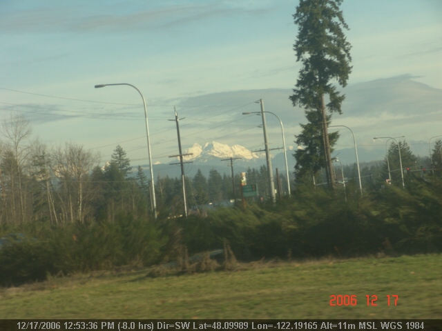
Morning Time

Dog's Eye View.
LV1312DSC00695.JPG
DSC06167.JPG
DSC06275.JPG
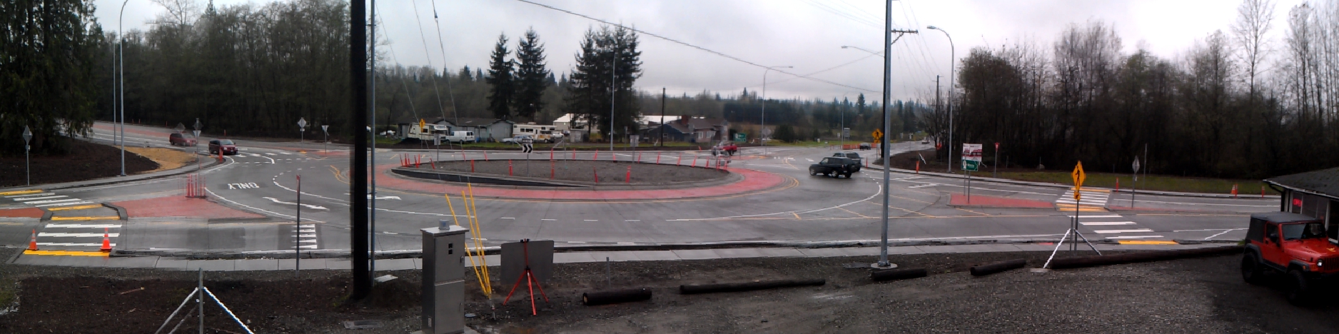
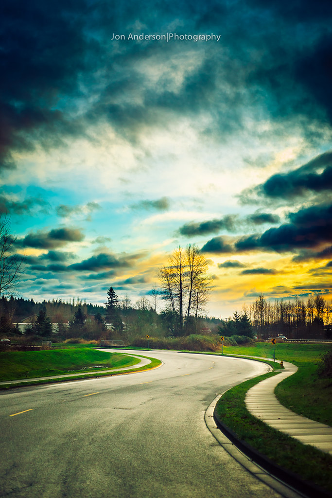
Panoramic view of new SR 9 roundabout in Arlington
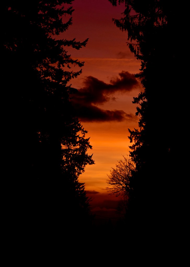
Sunset through the trees
LV1284DSC00667.JPG
DSC06272.JPG
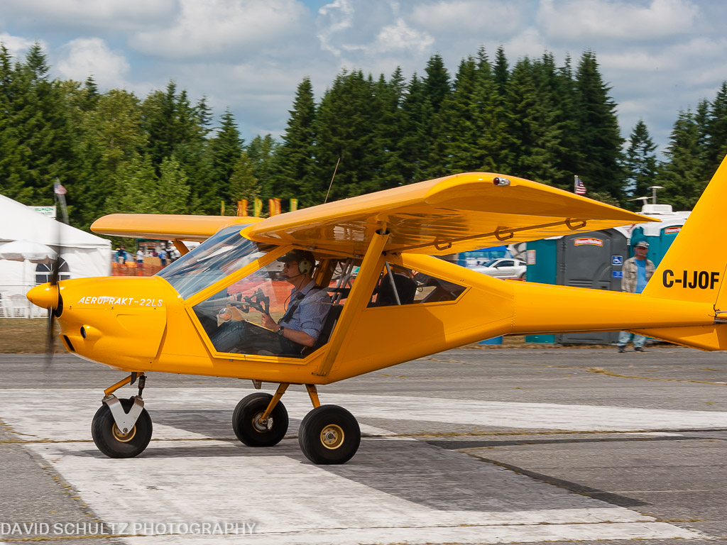
2011 KGA Foxbat A22 C-IJOF
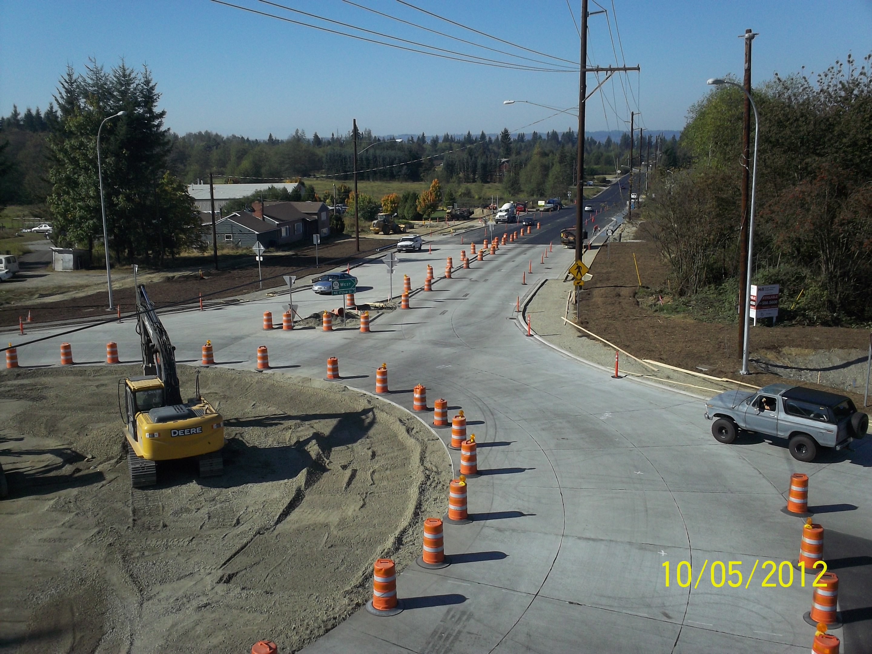
Aerial view: Orange barrels guide drivers through new SR 9 roundabout

The view from below
There's a storm a brewin'

Calm Stilly

Fall Barn

Daffodil Hill

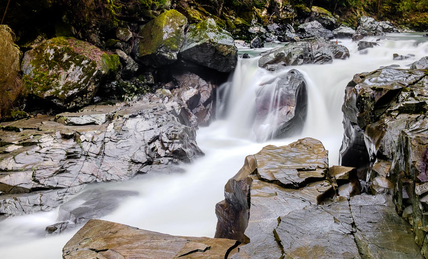
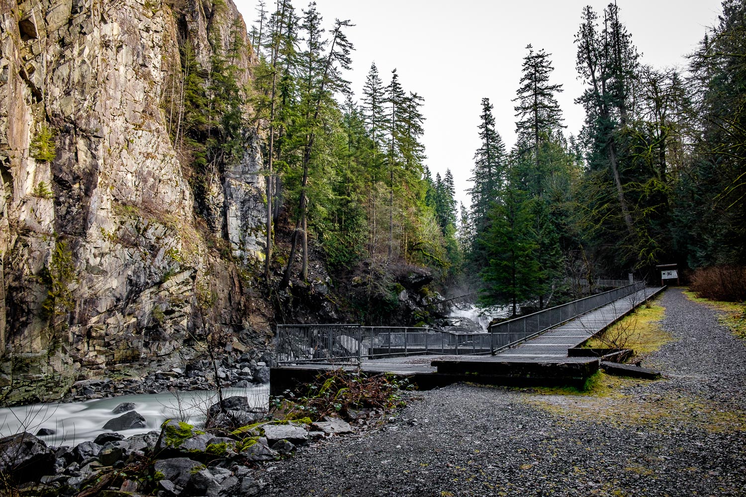
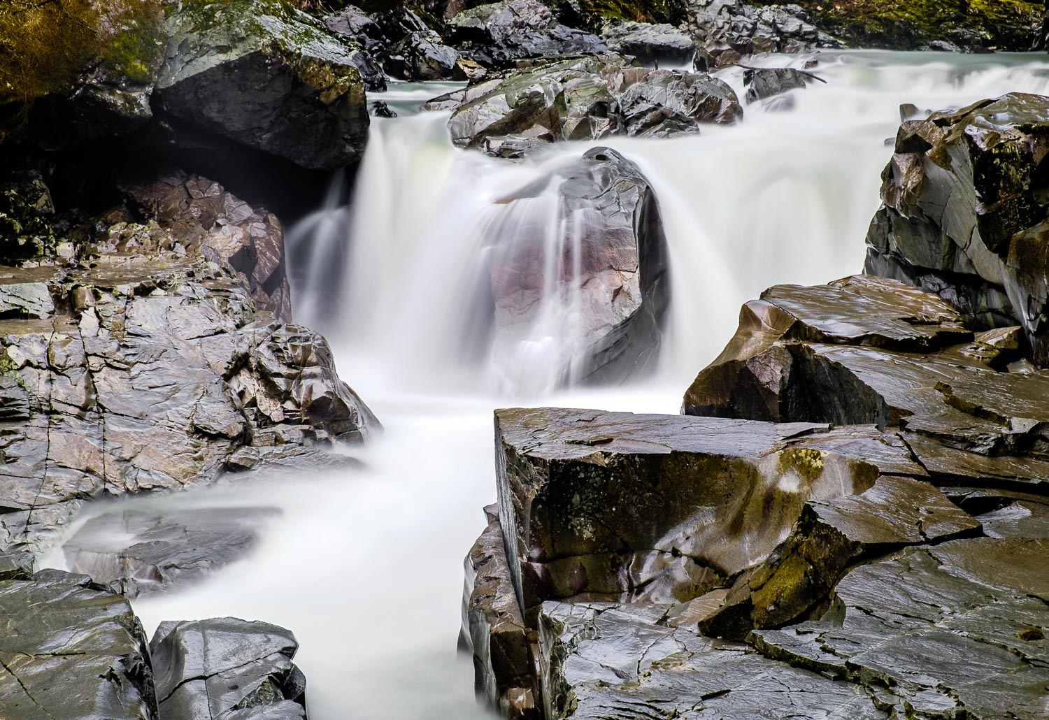
Granite Falls
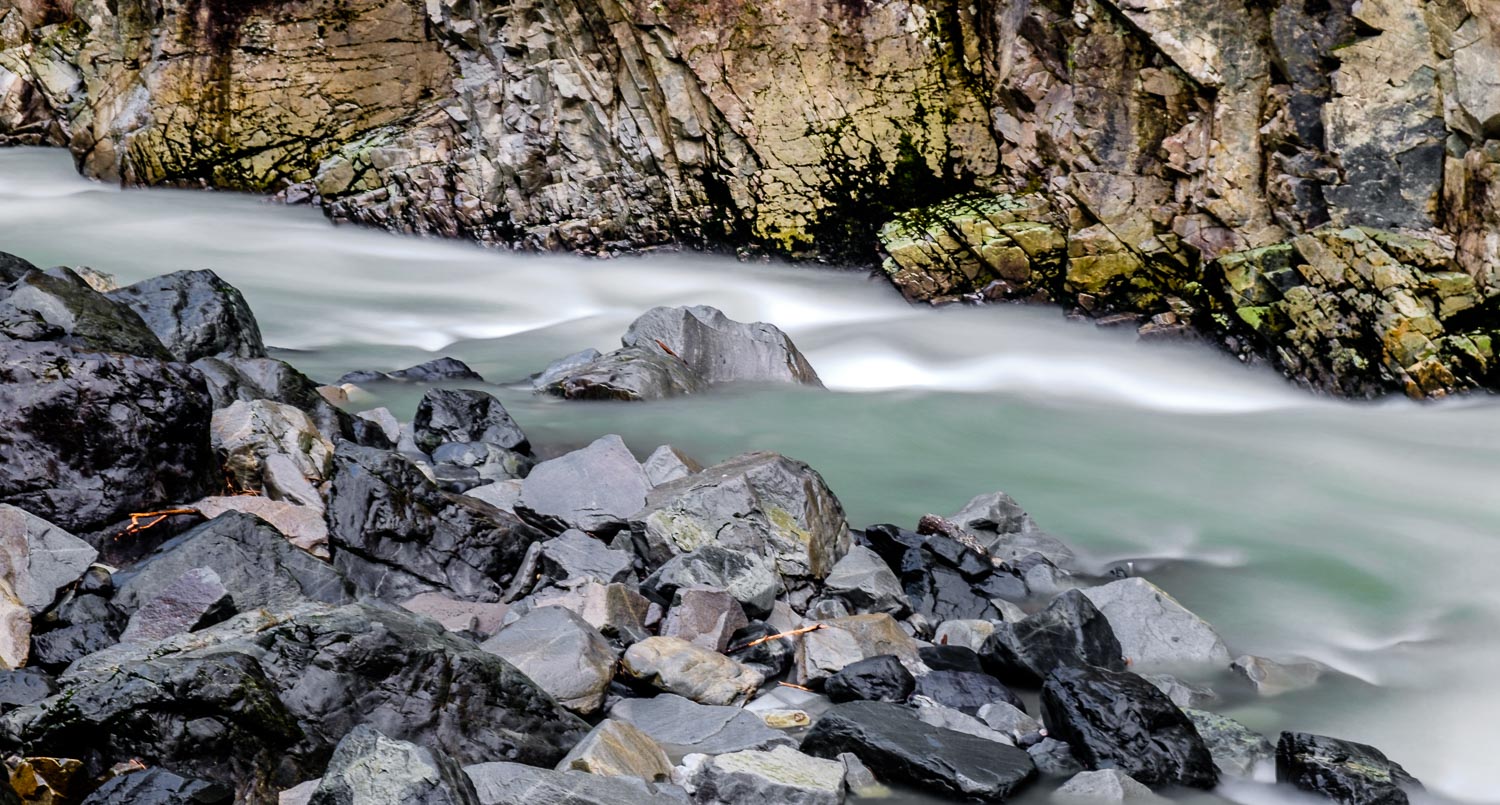
Stillaguamish River
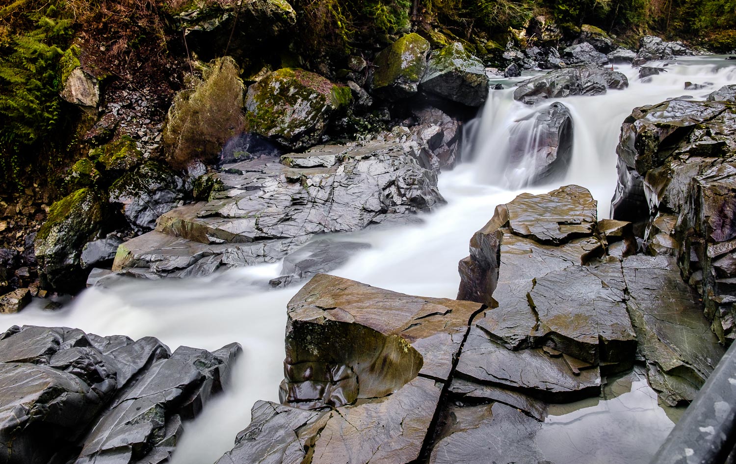
Granite Falls
Stillaguamish River
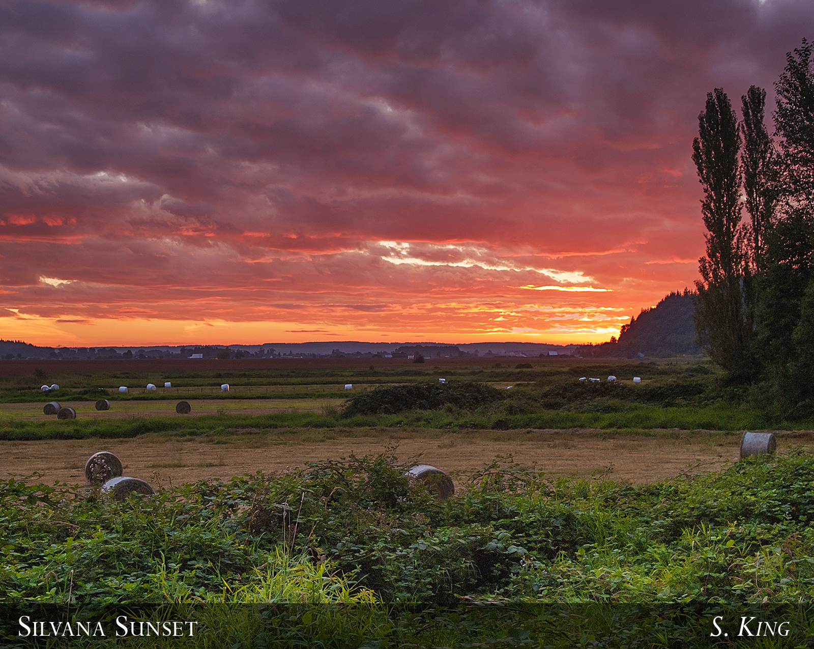
Silvana Sunset
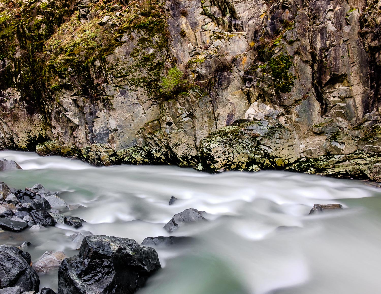
Stillaguamish River
Granite Falls

Passed a lot of these today to go see family. #corn #snohomishcounty
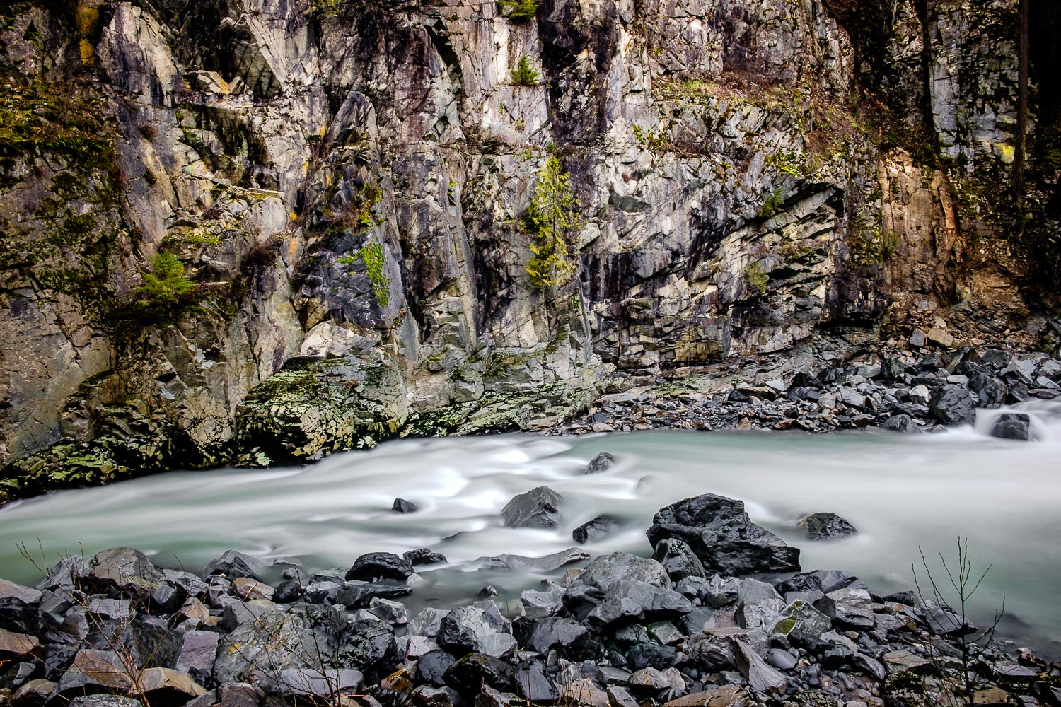
Granite Falls Fish Ladder
Granite Falls

Stalking the #ducks at the #lake. #kids #laborday
Granite Falls
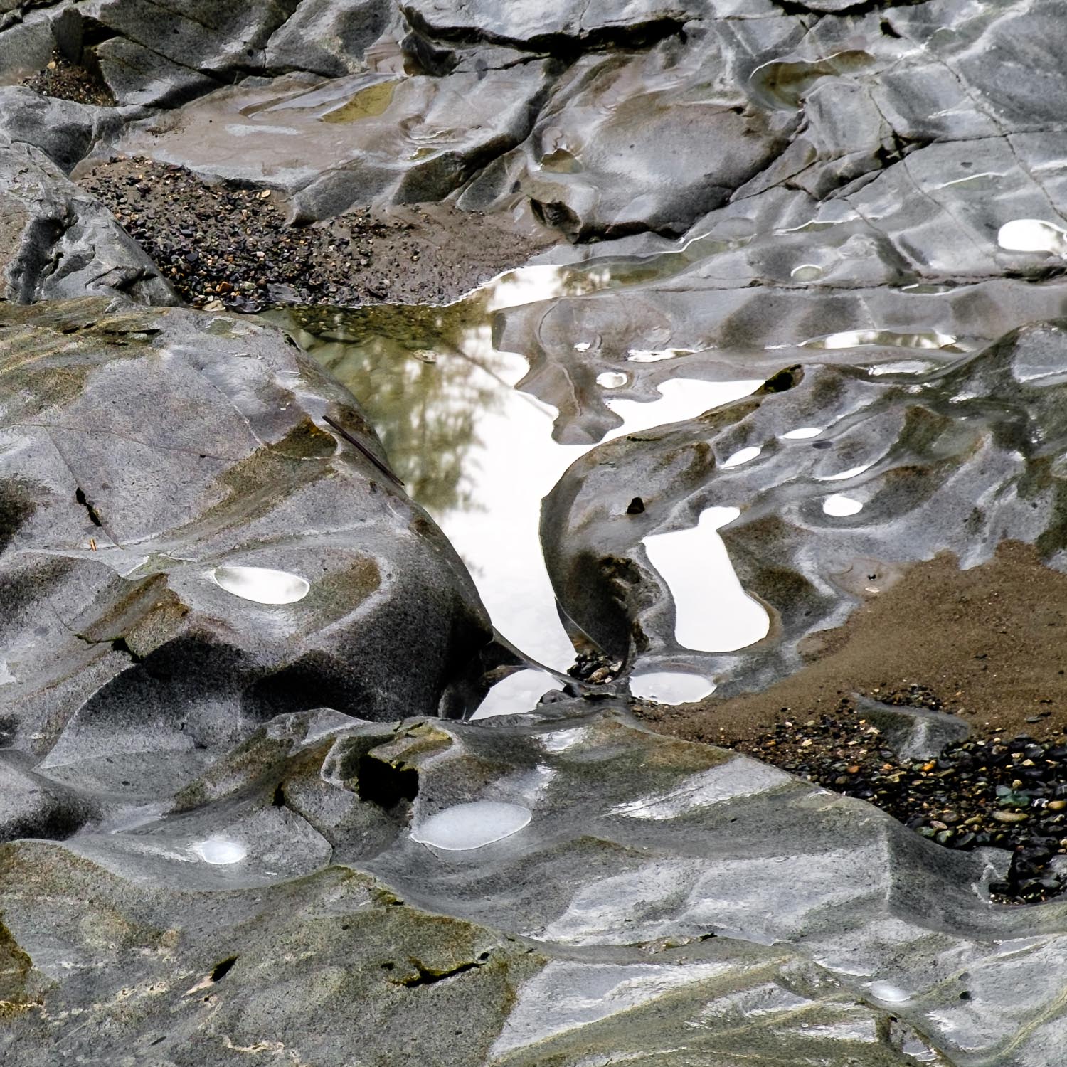
Granite Falls Puddle Detail

2012-03-22__IMG3828-20_images_14
Topographic Map of E 5th St, Arlington, WA, USA
Find elevation by address:

Places near E 5th St, Arlington, WA, USA:
Arlington
Haller Park
20503 Lois Ln
Burn Road
20312 97th Ave Ne
7900 200th St Ne
7900 200th St Ne
20313 97th Ave Ne
19506 Knoll Dr
19818 74th Ave Ne
10825 Homestead Rd
10915 Moran Rd
24718 Wa-9
10932 233rd St Ne
10208 190th St Ne
25421 70th Ave Ne
24821 59th Ave Ne
18711 Zaretzke Rd
5427 Cemetery Rd
19110 106th Ave Ne
Recent Searches:
- Elevation of Corso Fratelli Cairoli, 35, Macerata MC, Italy
- Elevation of Tallevast Rd, Sarasota, FL, USA
- Elevation of 4th St E, Sonoma, CA, USA
- Elevation of Black Hollow Rd, Pennsdale, PA, USA
- Elevation of Oakland Ave, Williamsport, PA, USA
- Elevation of Pedrógão Grande, Portugal
- Elevation of Klee Dr, Martinsburg, WV, USA
- Elevation of Via Roma, Pieranica CR, Italy
- Elevation of Tavkvetili Mountain, Georgia
- Elevation of Hartfords Bluff Cir, Mt Pleasant, SC, USA