Elevation of Lodi Ave, San Mateo, CA, USA
Location: United States > California > San Mateo County > San Mateo > Shoreview >
Longitude: -122.30138
Latitude: 37.5611794
Elevation: 2m / 7feet
Barometric Pressure: 101KPa
Elevation Map:
Satellite Map:
Related Photos:

Night Bridge and Its Reflections

Flew into the Night Clouds
SFO’s Saturday Night

On Their Way Home

San Francisco Skyline in the Far Distance

j. davis at the sign hill summit

Egret Strut
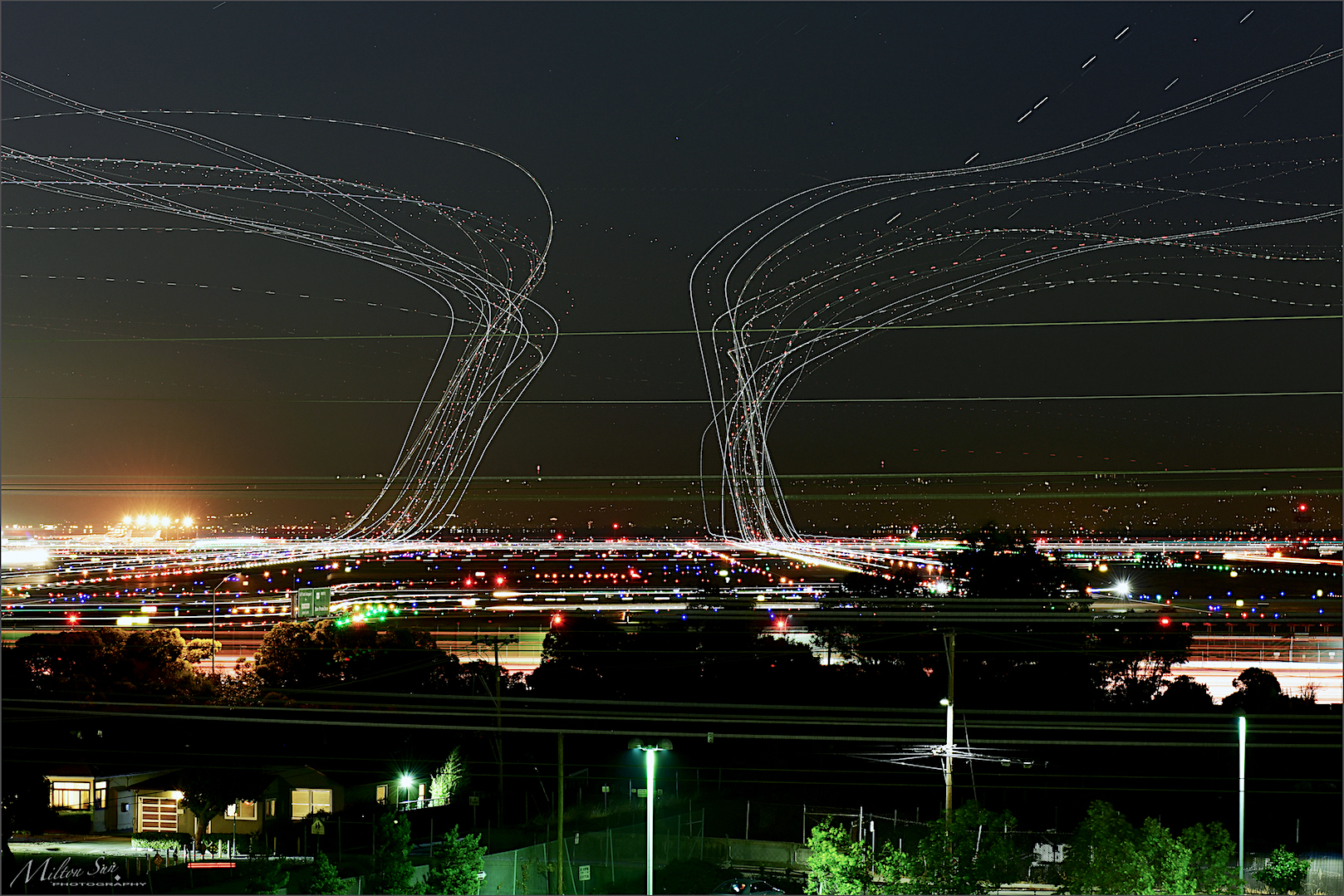
forever circling

Upslope Fog

Waiting for darkness

OY-KBM

img201, Brisbane, CA. May 1976
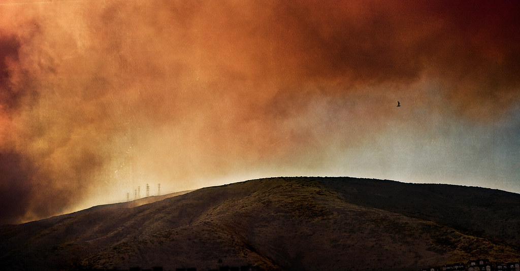
from the fire

Sun Burn
Where are you at this time of the night?

Tanforan Shopping Mall

Facebook Head Quarters

6:15 a.m. Fog

golden slumbers | san carlos, ca

outside the exclusionary perimeter

Blue distortion field

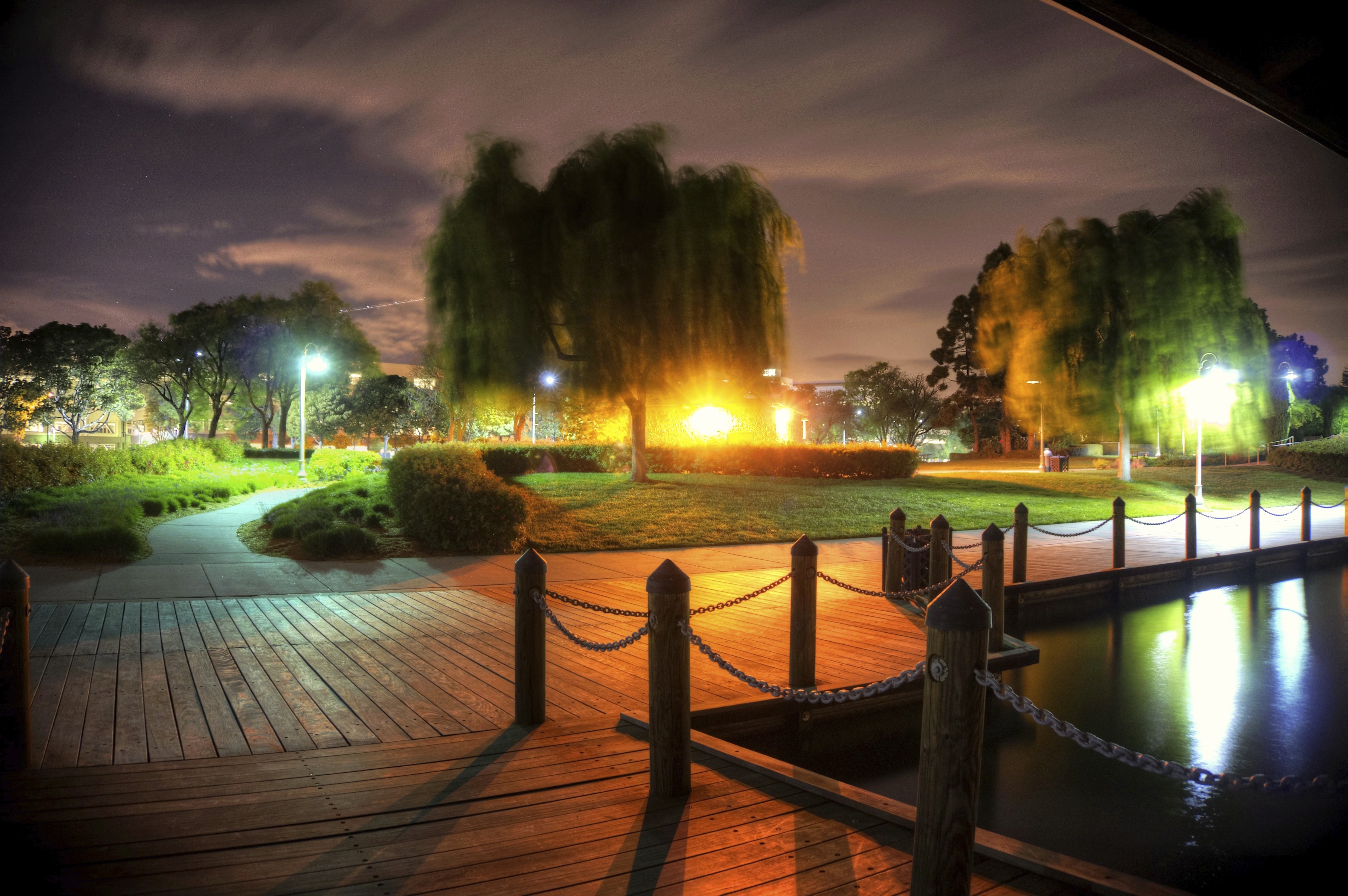
A Small Pier on the Bay

Golden Gate National Cemetary

Boeing 777-322/ER face off at SFO

[Rolling...] at San Andreas Lake, San Bruno, CA
29/2016 - The Redwood City Weather Forecast

Singapore Airlines Airbus A350-941 9V-SMP
Crystal Springs Reservoir, San Mateo County, California

Delta Air Lines Boeing 717 N994AT

Our Water

Portola Highlands

you're either shooting or you're dead v2.0 {+1 in comments}

t r a c e s | san mateo, california
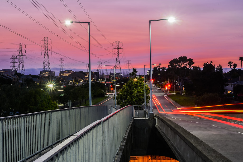
San Mateo, California: Bridge to Nowhere

S F O

Sunrise over Mount Diablo and San Francisco Bay - Millbrae California
B-1128

Mexican Feather Grass (Nassella tenuissima)

coming into DCA over the mighty Potomac!

ZK-OKM
Topographic Map of Lodi Ave, San Mateo, CA, USA
Find elevation by address:

Places near Lodi Ave, San Mateo, CA, USA:
1324 Lodi Ave
1711 Church Ave
San Mateo Marriott San Francisco Airport
Sunnybrae Park
745 Birch Ave
South Delaware Street
19th Avenue
East San Mateo
1407 S Delaware St
Shoreview
1700 Leslie St
Hayward Park
703 S Fremont St
1421 Palm Ave
Central San Mateo
713 S Claremont St
Principal Creative & Performing Arts
2325 S El Camino Real
32 11th Ave
225 9th Ave
Recent Searches:
- Elevation of Corso Fratelli Cairoli, 35, Macerata MC, Italy
- Elevation of Tallevast Rd, Sarasota, FL, USA
- Elevation of 4th St E, Sonoma, CA, USA
- Elevation of Black Hollow Rd, Pennsdale, PA, USA
- Elevation of Oakland Ave, Williamsport, PA, USA
- Elevation of Pedrógão Grande, Portugal
- Elevation of Klee Dr, Martinsburg, WV, USA
- Elevation of Via Roma, Pieranica CR, Italy
- Elevation of Tavkvetili Mountain, Georgia
- Elevation of Hartfords Bluff Cir, Mt Pleasant, SC, USA