Elevation of Birch Ave, San Mateo, CA, USA
Location: United States > California > San Mateo County > San Mateo > Hayward Park >
Longitude: -122.30878
Latitude: 37.5633655
Elevation: 2m / 7feet
Barometric Pressure: 101KPa
Elevation Map:
Satellite Map:
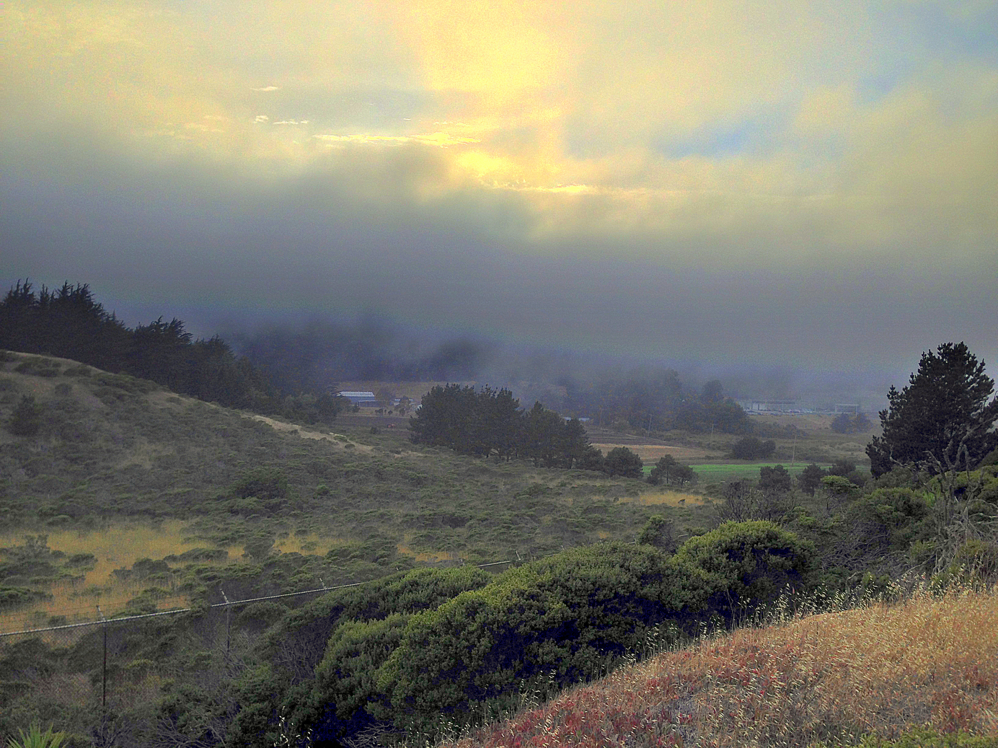
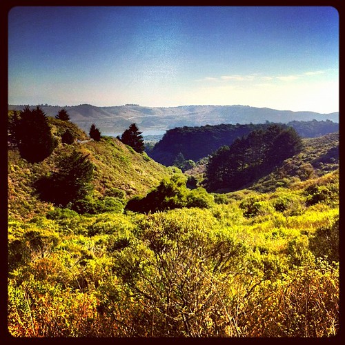
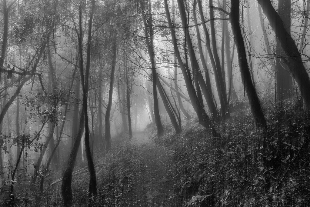
Related Photos:

Life is Beautiful

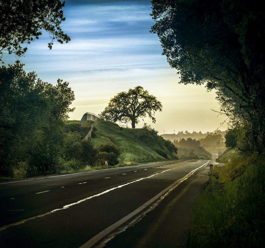
It Pays to be a 'Morning Person'
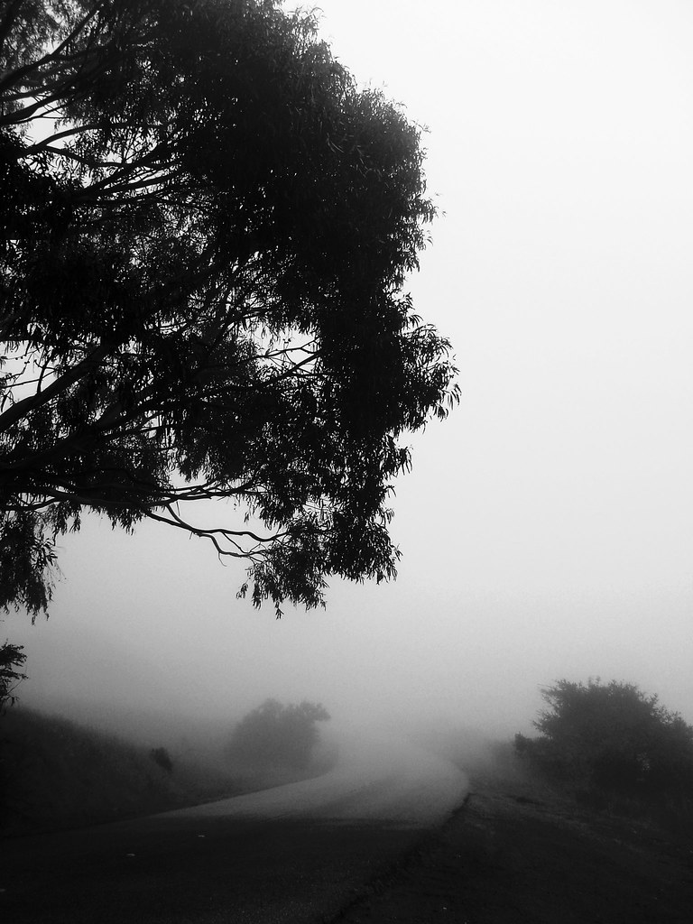
folds of oblivion

take a load off | emerald lake, ca
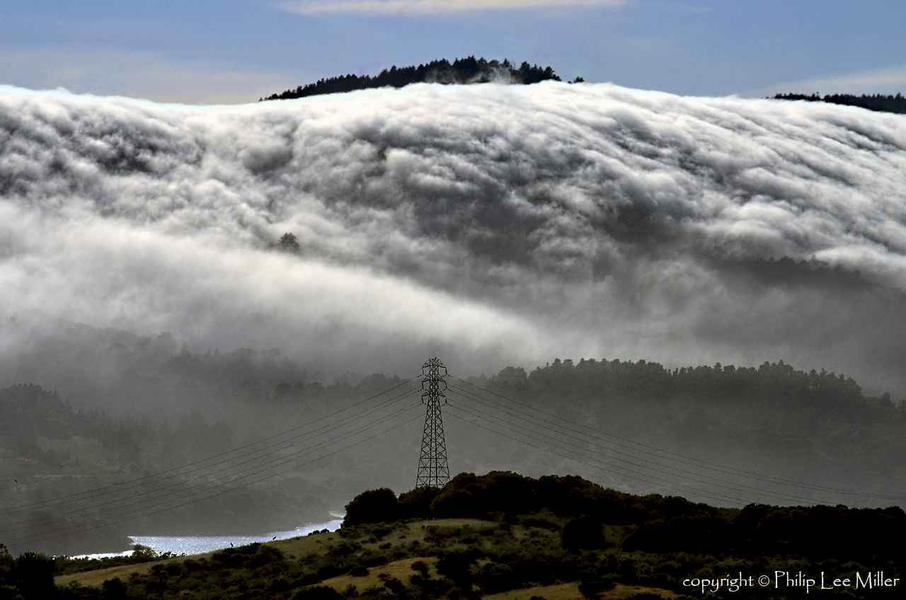
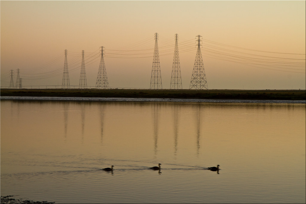
Power Meets Power

On Their Way Home
An unusual view of San Francisco
pillar | woodside, ca
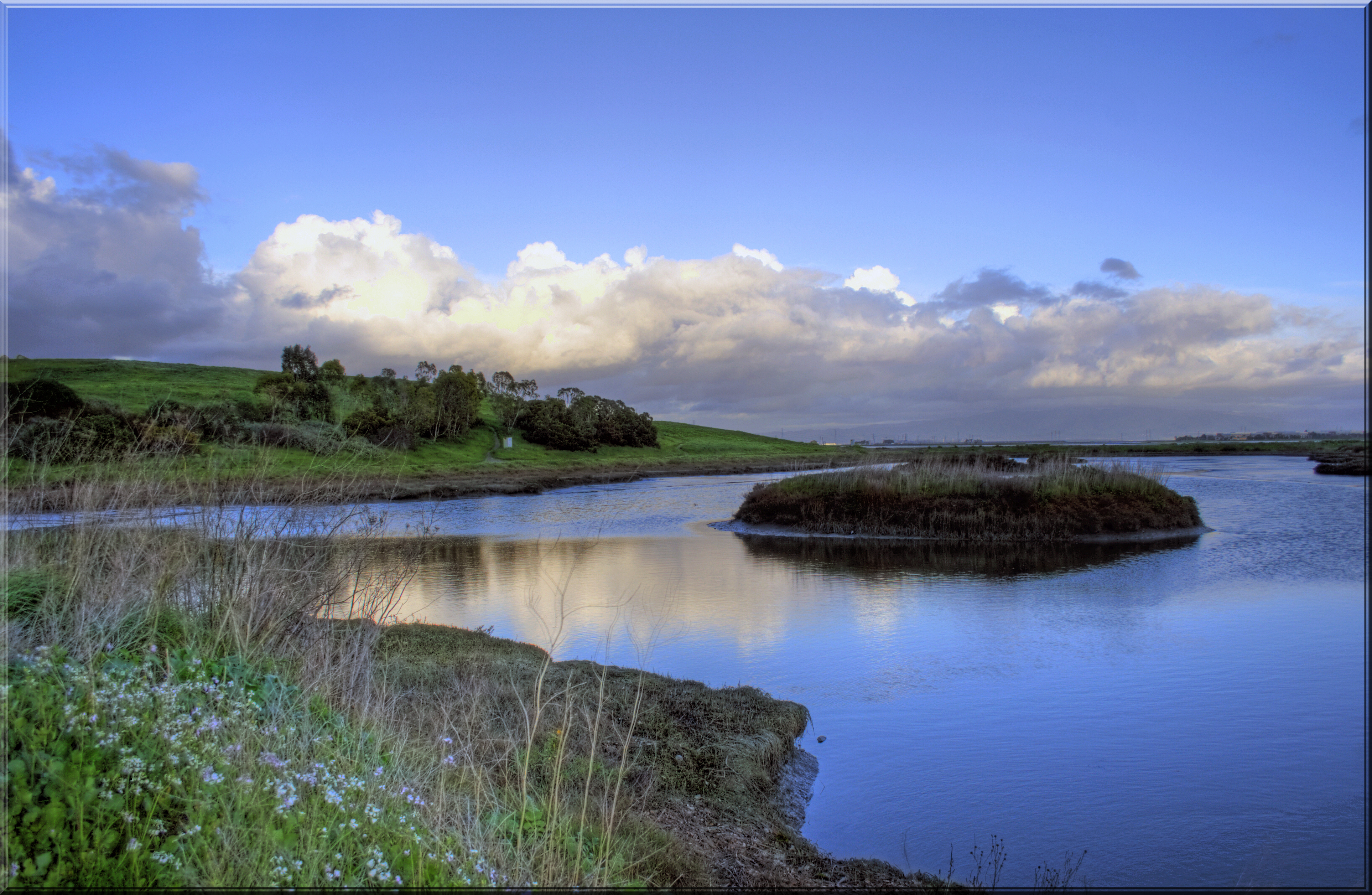
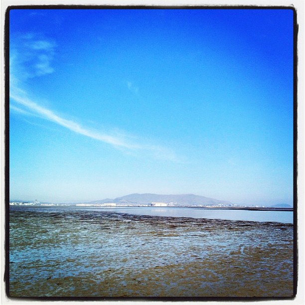
Quiet Lagoon

Weather Forecast
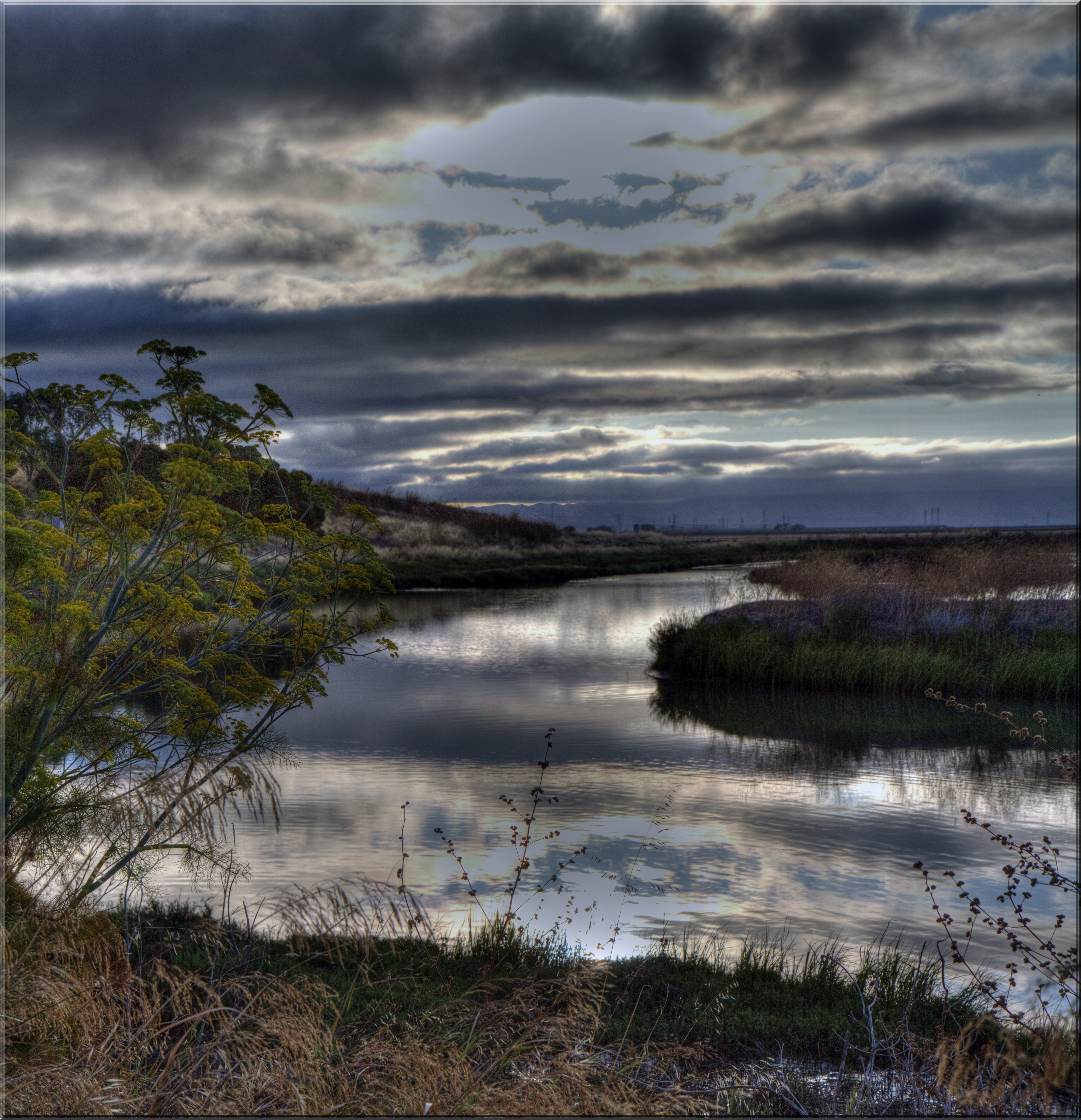
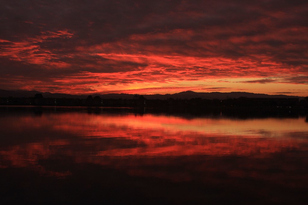
Dawn Floats In...
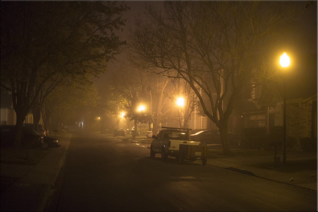
6:15 a.m. Fog
On the Bay

Egret Strut

sometimes you just need to wet your beak | atherton, ca
Sun Burn
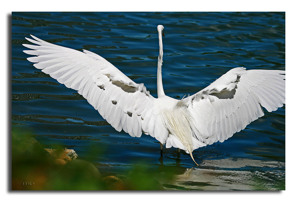
Egret landing

St John's
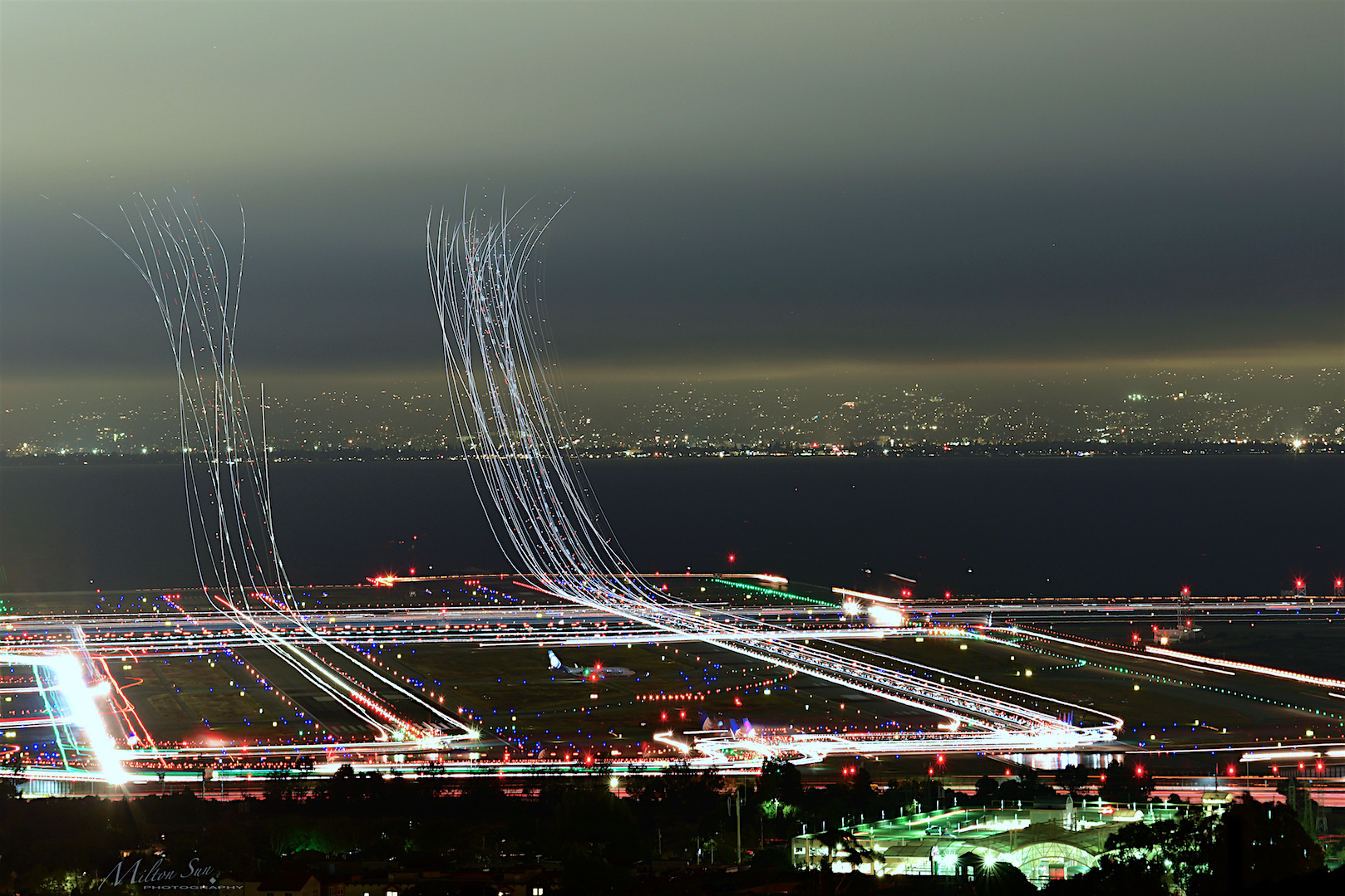
Flew into the Night Clouds
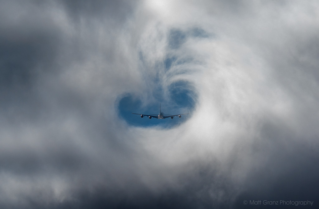
A380 Fog Vortex
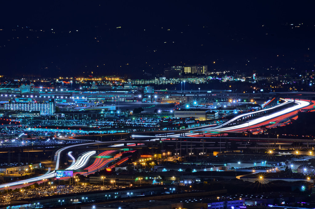
over highway 101s sfo canyon

Sunrise over Mount Diablo and San Francisco Bay - Millbrae California

fault line 2.0 | hdr panorama [explore]

The Feather Trees of Planet Skeggs
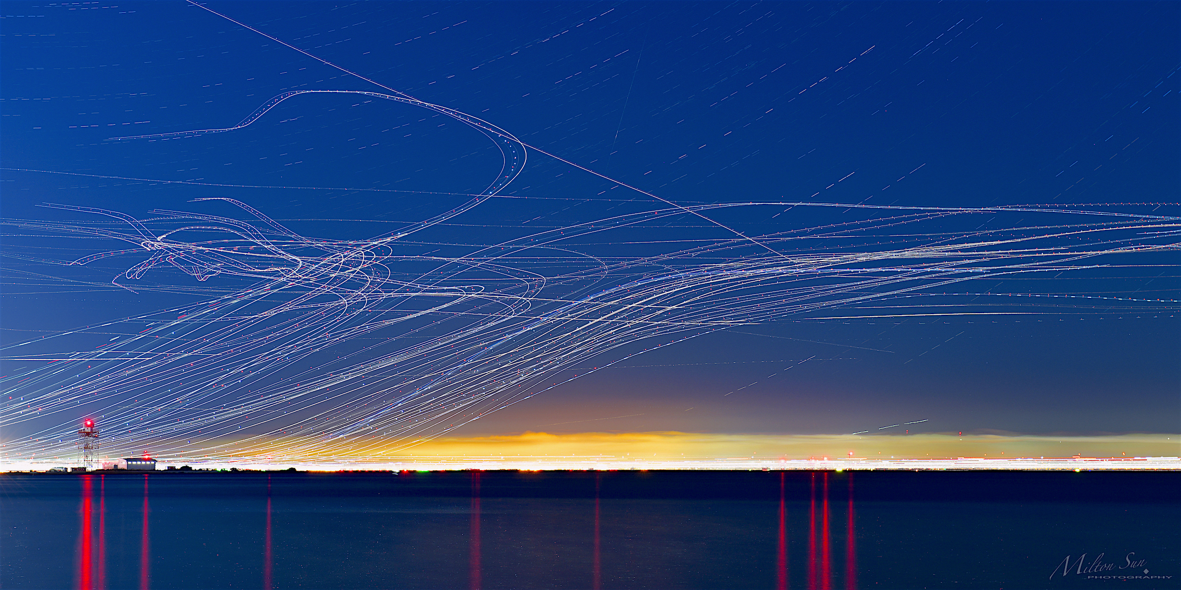
Took Off All Night [2]
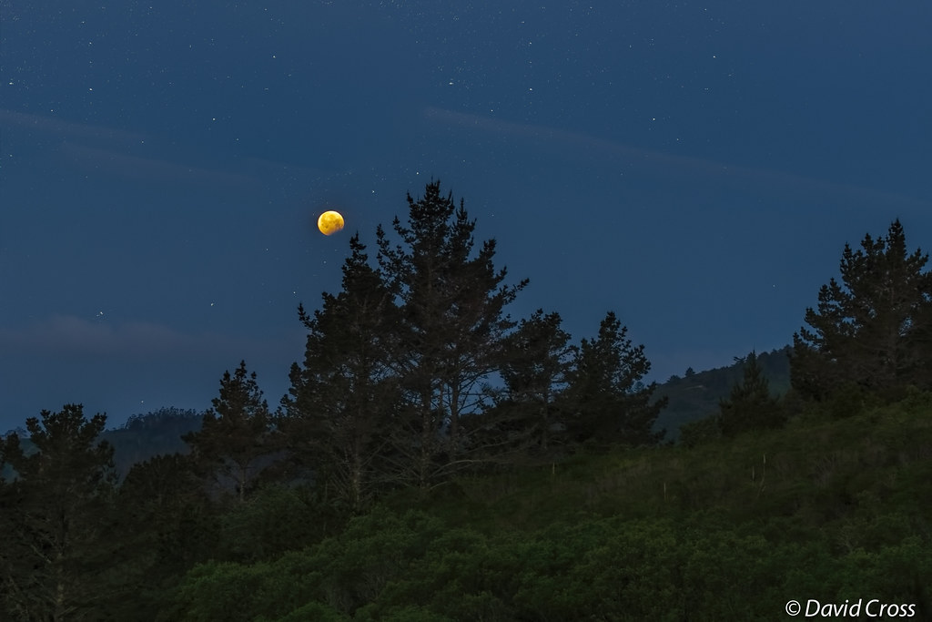
Basic Biology and Other Lunar Matters
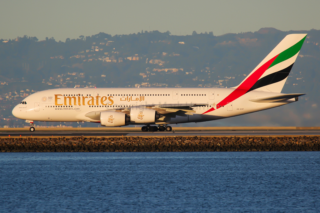
Emirates Airbus A380-861 A6-EOF

Golden Gate National Cemetary
Portola Highlands
Way better than the DMV...
Purisima Creek
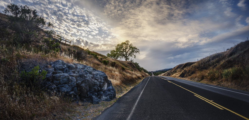
my favorite lone tree | cañada rd

Redwood Shores
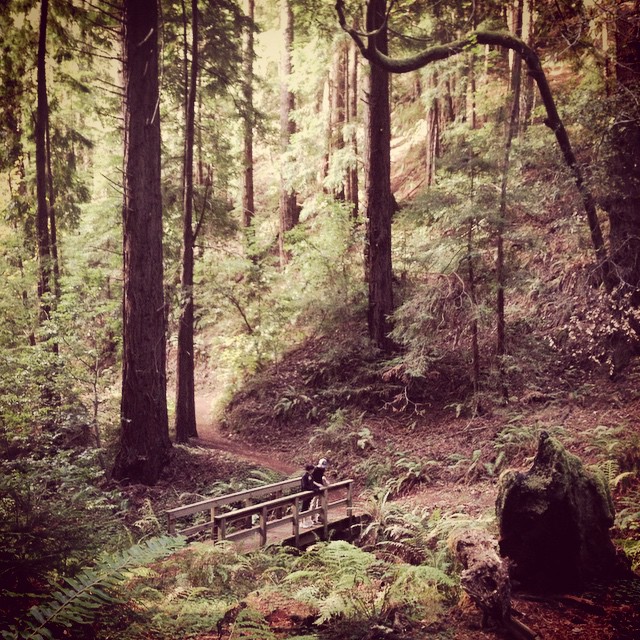
Worth the 90-min, 45-degree climb uphill.
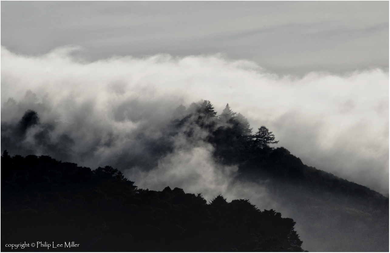
Islands in the Stream
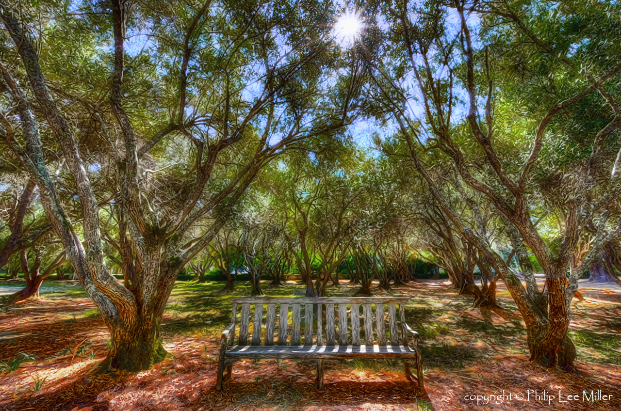
The Bench
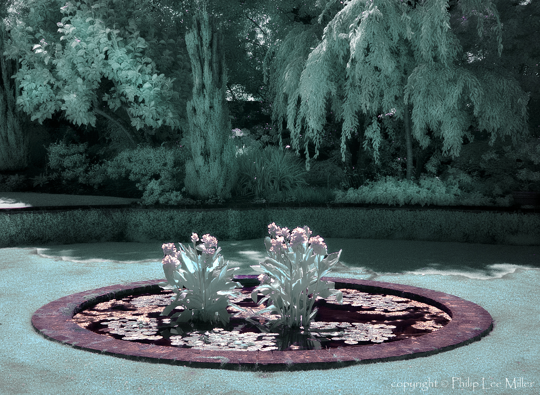
Lilies in the Garden

Morning View2
Topographic Map of Birch Ave, San Mateo, CA, USA
Find elevation by address:

Places near Birch Ave, San Mateo, CA, USA:
Sunnybrae Park
1407 S Delaware St
East San Mateo
703 S Fremont St
South Delaware Street
1324 Lodi Ave
1324 Lodi Ave
Central San Mateo
713 S Claremont St
1711 Church Ave
1700 Leslie St
225 9th Ave
1421 Palm Ave
Hayward Park
Shoreview
232 S Humboldt St
San Mateo Marriott San Francisco Airport
32 11th Ave
Principal Creative & Performing Arts
19th Avenue
Recent Searches:
- Elevation of Corso Fratelli Cairoli, 35, Macerata MC, Italy
- Elevation of Tallevast Rd, Sarasota, FL, USA
- Elevation of 4th St E, Sonoma, CA, USA
- Elevation of Black Hollow Rd, Pennsdale, PA, USA
- Elevation of Oakland Ave, Williamsport, PA, USA
- Elevation of Pedrógão Grande, Portugal
- Elevation of Klee Dr, Martinsburg, WV, USA
- Elevation of Via Roma, Pieranica CR, Italy
- Elevation of Tavkvetili Mountain, Georgia
- Elevation of Hartfords Bluff Cir, Mt Pleasant, SC, USA