Elevation of Lincoln Ave, Tampa, KS, USA
Location: United States > Kansas > Marion County > Blaine > Tampa >
Longitude: -97.152489
Latitude: 38.5469225
Elevation: 434m / 1424feet
Barometric Pressure: 96KPa
Elevation Map:
Satellite Map:
Related Photos:

Days Gone By

Moved On

Ramona Co-op (explore)

Pano just before the big shelf

Kenzie doing her tornado dance

20160526-IMG_4390
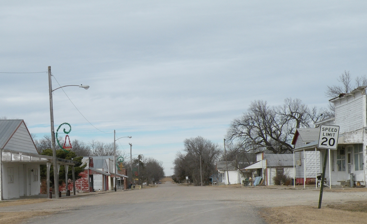
Downtown Business District

UP 7389 West

Winters Silence

Svitka's Garag

Somewhere in Kansas

American Hero
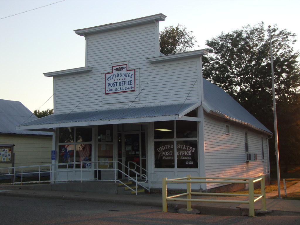
Post Office 67475 (Ramona, Kansas)

Post Office 67438 (Durham, Kansas)

Bull Durham Tobacco Sign (Durham, Kansas)

no longer available
Topographic Map of Lincoln Ave, Tampa, KS, USA
Find elevation by address:

Places near Lincoln Ave, Tampa, KS, USA:
Tampa
Blaine
Hope
th St, Marion, KS, USA
Key Rd, Hope, KS, USA
Hope
Gale
Nighthawk Rd, Hillsboro, KS, USA
Marion County
Hillsboro
405 S Ash St
Ridge
Bison Rd, Lehigh, KS, USA
1135 Ks-43
1147 Ks-43
Lehigh
Lehigh
Eden Rd, Abilene, KS, USA
Hillsboro, KS, USA
1552 Main St
Recent Searches:
- Elevation of Corso Fratelli Cairoli, 35, Macerata MC, Italy
- Elevation of Tallevast Rd, Sarasota, FL, USA
- Elevation of 4th St E, Sonoma, CA, USA
- Elevation of Black Hollow Rd, Pennsdale, PA, USA
- Elevation of Oakland Ave, Williamsport, PA, USA
- Elevation of Pedrógão Grande, Portugal
- Elevation of Klee Dr, Martinsburg, WV, USA
- Elevation of Via Roma, Pieranica CR, Italy
- Elevation of Tavkvetili Mountain, Georgia
- Elevation of Hartfords Bluff Cir, Mt Pleasant, SC, USA