Elevation of Bison Rd, Lehigh, KS, USA
Location: United States > Kansas > Marion County > Lehigh > Lehigh >
Longitude: -97.335149
Latitude: 38.4283945
Elevation: 473m / 1552feet
Barometric Pressure: 96KPa
Elevation Map:
Satellite Map:
Related Photos:
20150710_061755_Richtone(HDR)

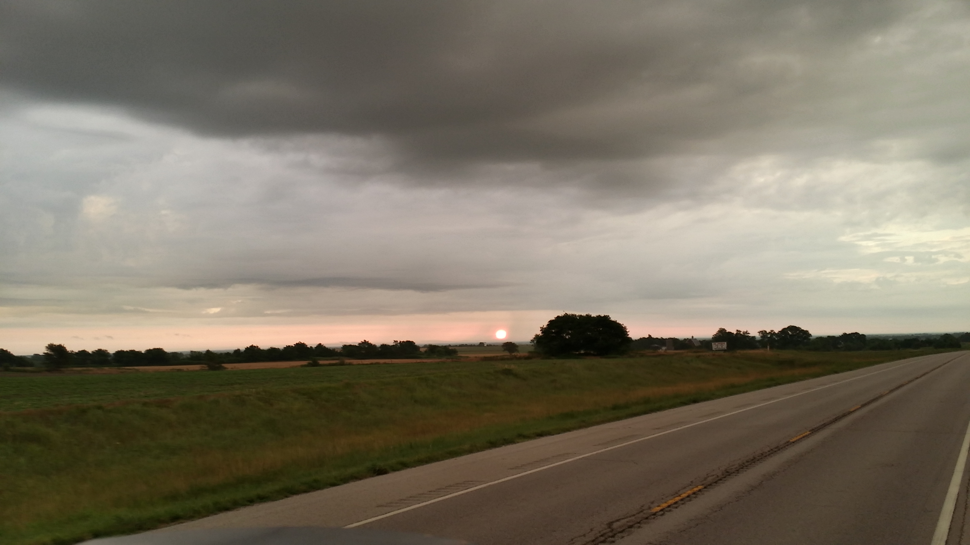
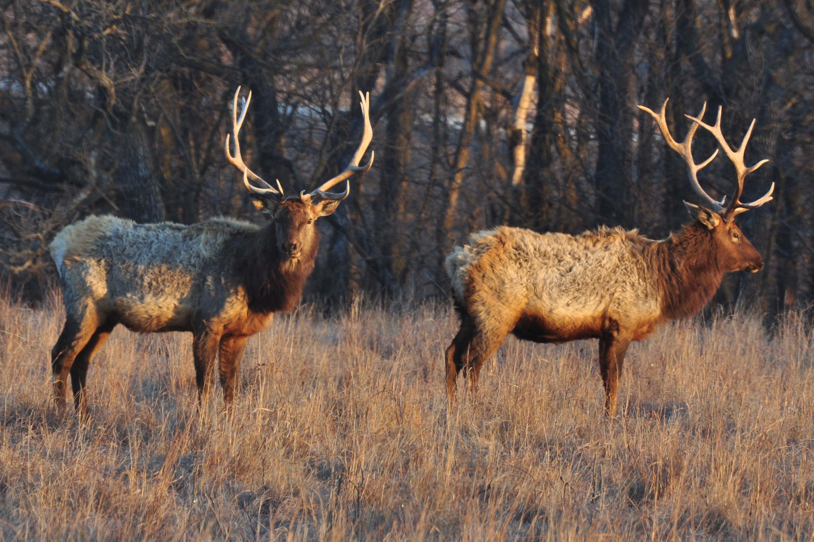
Buffalo and two calves in storm on the Maxwell Reserve

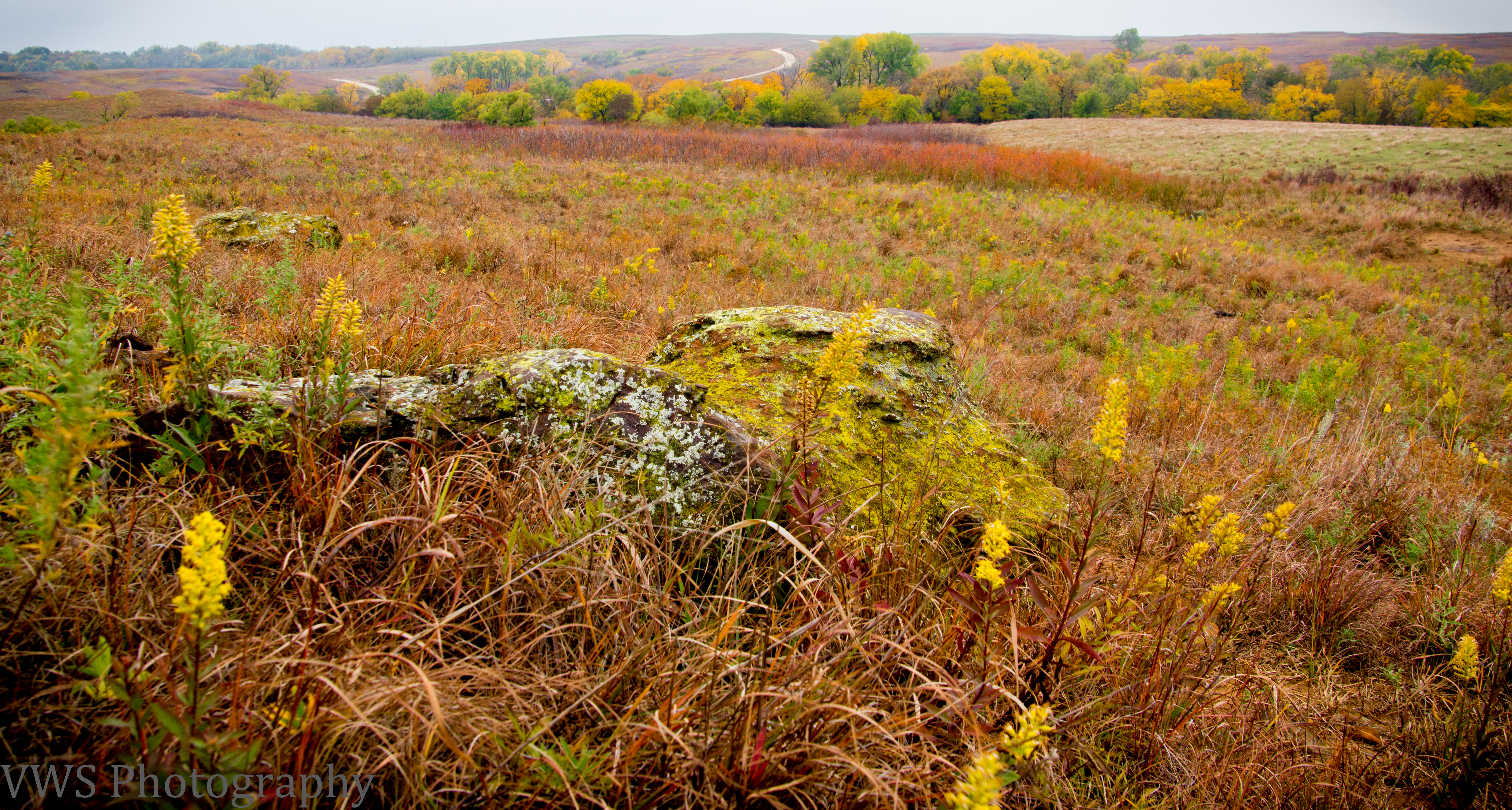
Miracle Rays and fall colors on Maxwell Lake
StoneAlaBean in storm on the Maxwell Reserve
A Prairie Vista
Kansas Prairie Trail - 11
Maxwell Wildlife Refuge
Kansas Prairie Trail - 10
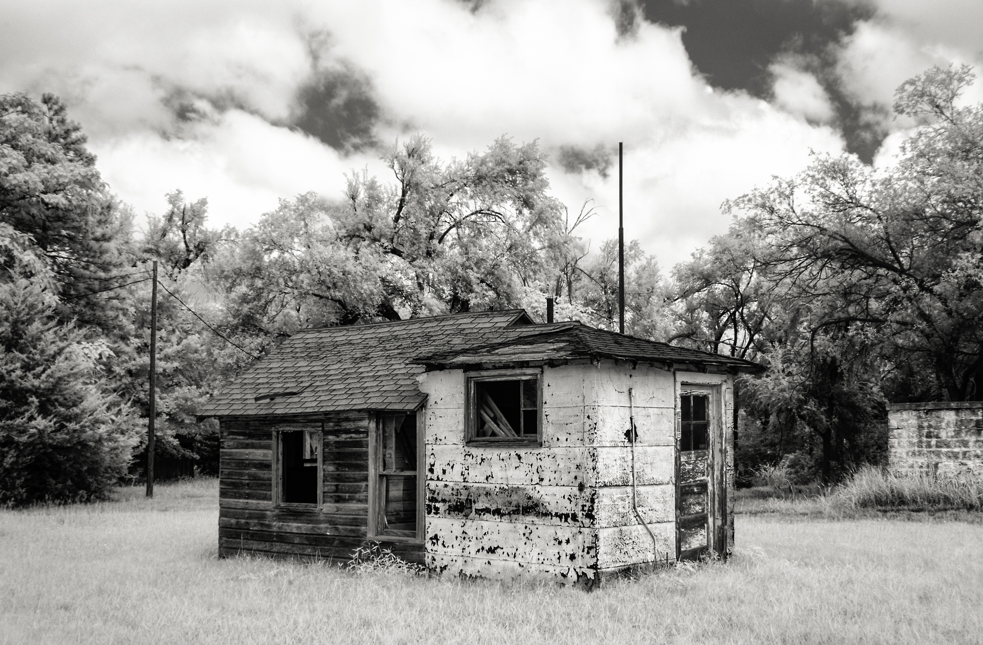
Hybrid Shack
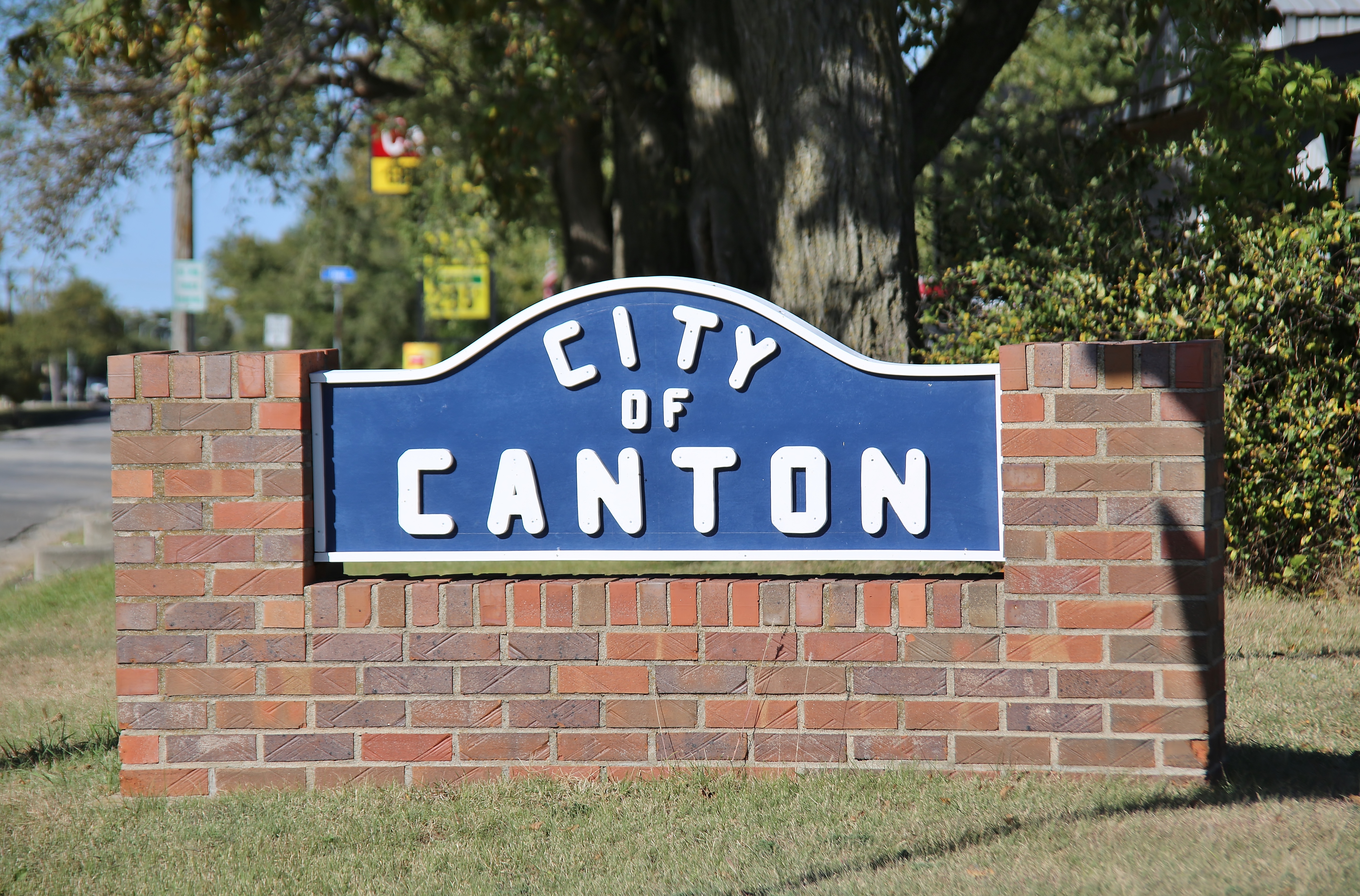
0U1A5482 Welcome to City of Canton KS

Morning In Kansas-3-2

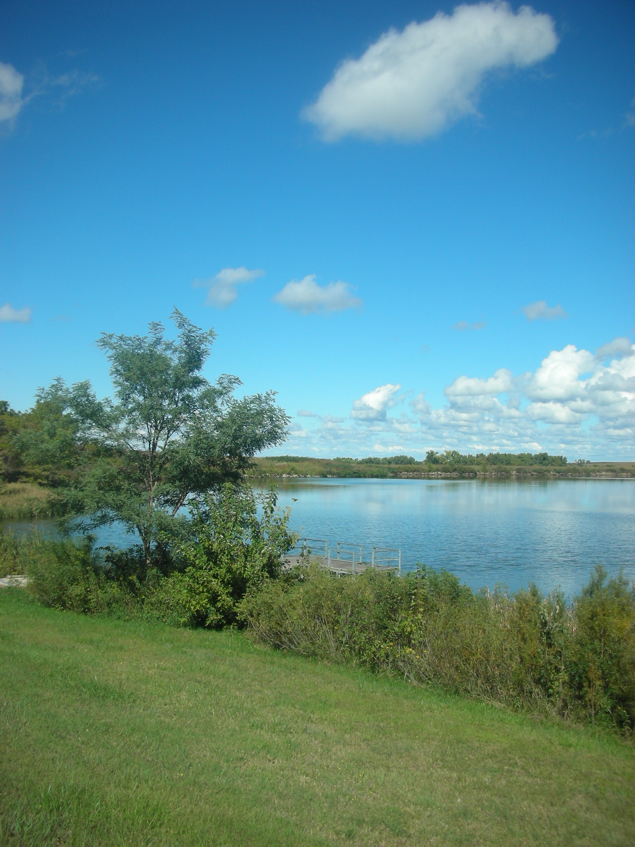
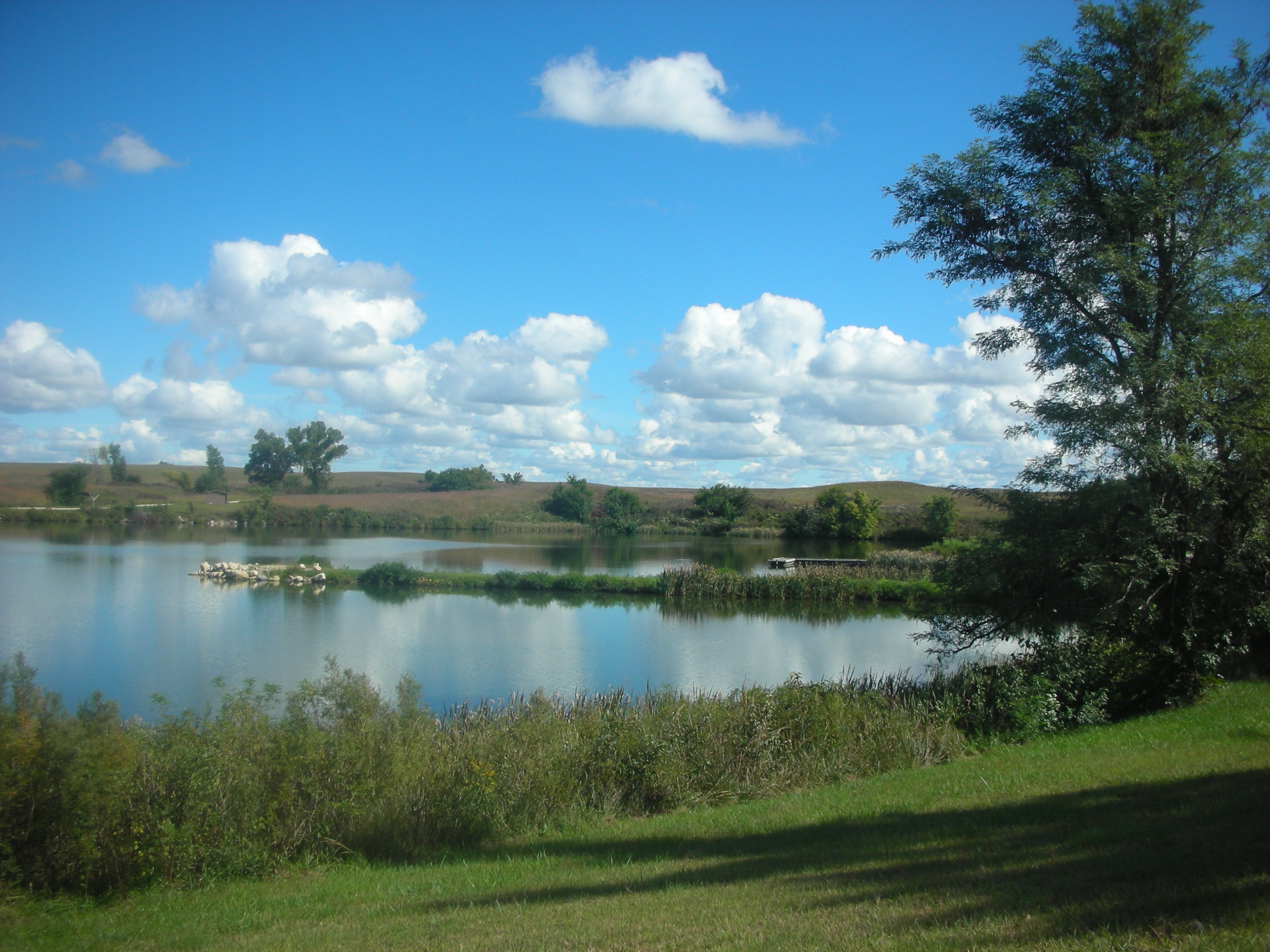
McPherson Lake-8
McPherson Lake-2

McPherson Lake-4

McPherson Lake-5

McPherson Lake-6

McPherson Lake-7

Morning In Kansas-1

Morning In Kansas-2

2015-08-31_12-45-31

20150710_061745_Richtone(HDR)
20150710_061733_Richtone(HDR)

20150710_060509_Richtone(HDR)

20150710_060503_Richtone(HDR)
Somewhere in Kansas

My Favorite Building
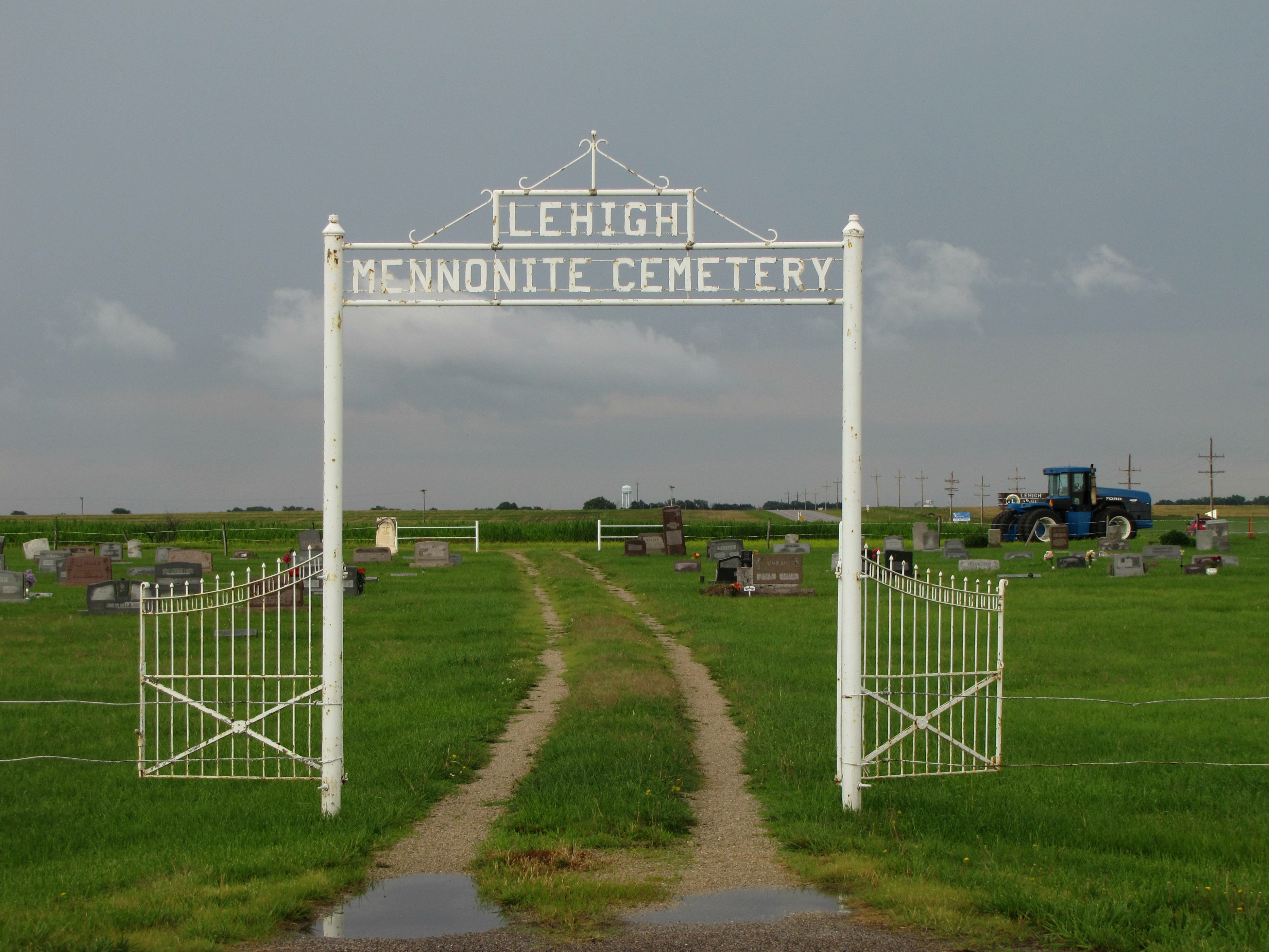
Lehigh Mennonite Cemetery

Millstones in Lehigh
Topographic Map of Bison Rd, Lehigh, KS, USA
Find elevation by address:

Places near Bison Rd, Lehigh, KS, USA:
Lehigh
Lehigh
Canton
N Main St, Hillsboro, KS, USA
Canton
Menno
170th Street & Eagle Road
405 S Ash St
Hillsboro
Hillsboro, KS, USA
Marion County
US-56, Galva, KS, USA
Blaine
Galva
Empire
Tampa
Lincoln Ave, Tampa, KS, USA
Gale
Nighthawk Rd, Hillsboro, KS, USA
Pawnee Rd, McPherson, KS, USA
Recent Searches:
- Elevation of Corso Fratelli Cairoli, 35, Macerata MC, Italy
- Elevation of Tallevast Rd, Sarasota, FL, USA
- Elevation of 4th St E, Sonoma, CA, USA
- Elevation of Black Hollow Rd, Pennsdale, PA, USA
- Elevation of Oakland Ave, Williamsport, PA, USA
- Elevation of Pedrógão Grande, Portugal
- Elevation of Klee Dr, Martinsburg, WV, USA
- Elevation of Via Roma, Pieranica CR, Italy
- Elevation of Tavkvetili Mountain, Georgia
- Elevation of Hartfords Bluff Cir, Mt Pleasant, SC, USA