Elevation of Eden Rd, Abilene, KS, USA
Location: United States > Kansas > Dickinson County > Wheatland >
Longitude: -97.279132
Latitude: 38.762052
Elevation: 374m / 1227feet
Barometric Pressure: 97KPa
Elevation Map:
Satellite Map:
Related Photos:

Twin Waterfalls

horse/sunset

Morning - 08
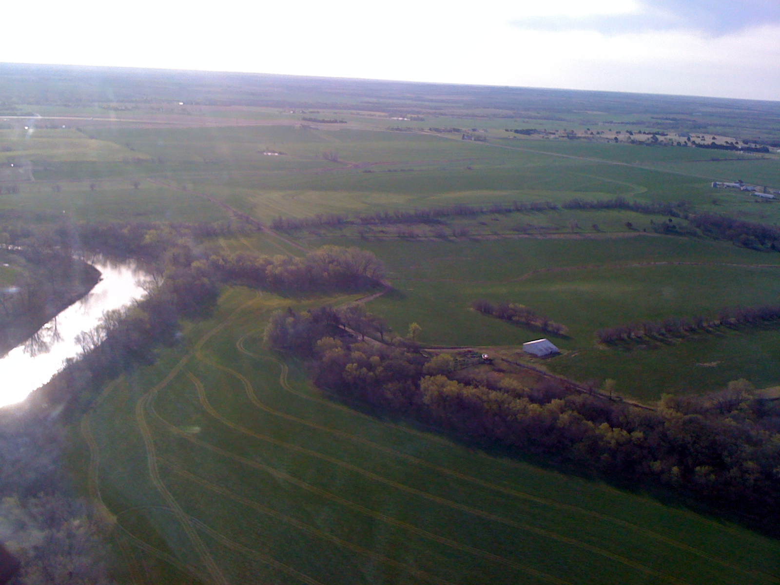
Day 1 Leg 1 Abilene KS 851
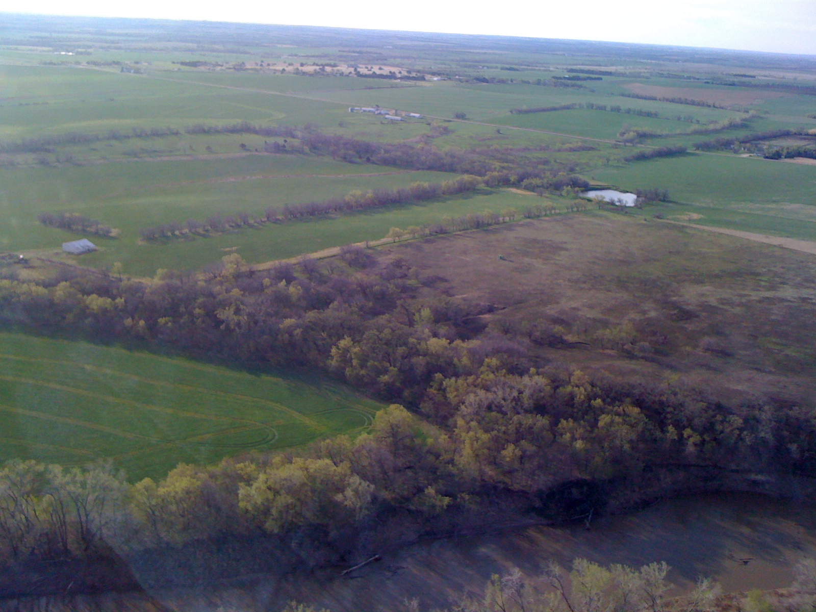
Day 1 Leg 1 Abilene KS 850

Windmill in storm on the Konza
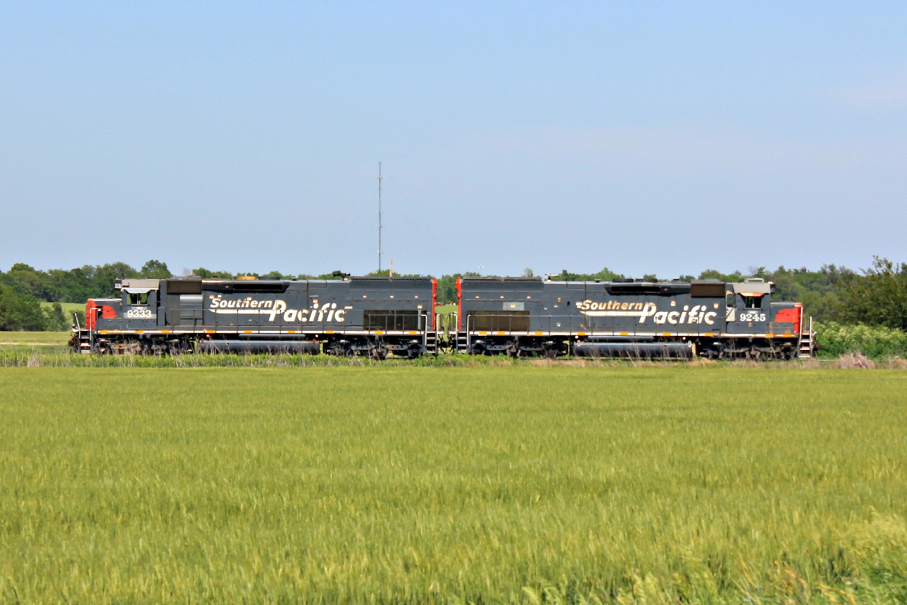
Southern Pacific

Last Breath of Summer
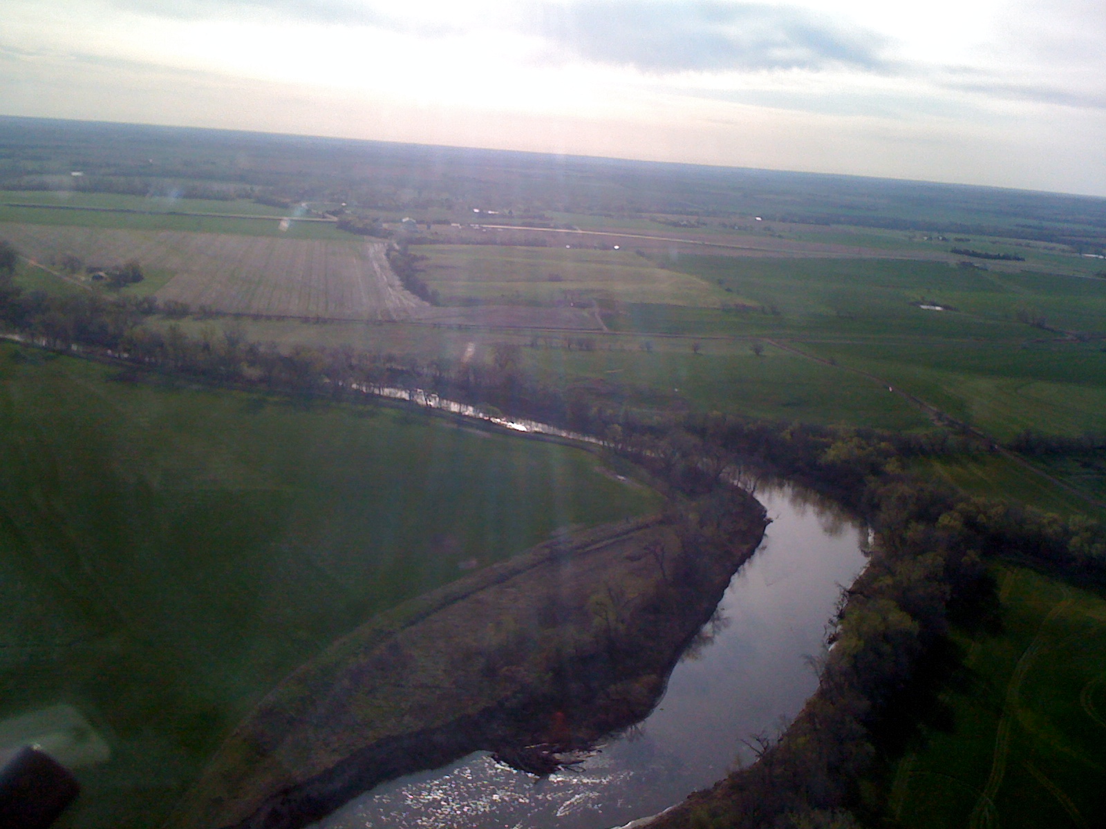
Day 1 Leg 1 Abilene KS 852
20150608-DET_2996.jpg
Topographic Map of Eden Rd, Abilene, KS, USA
Find elevation by address:

Places near Eden Rd, Abilene, KS, USA:
Wheatland
Fair Rd, Abilene, KS, USA
Newbern
Dickinson County
Eureka
Solomon
Key Rd, Hope, KS, USA
Lincoln
Gypsum
Ridge
Abilene
N Buckeye Ave, Abilene, KS, USA
E Main St, Salina, KS, USA
May St, Enterprise, KS, USA
Logan
Solomon
W 5th St, Solomon, KS, USA
1552 Main St
Hope
Blaine
Recent Searches:
- Elevation of Corso Fratelli Cairoli, 35, Macerata MC, Italy
- Elevation of Tallevast Rd, Sarasota, FL, USA
- Elevation of 4th St E, Sonoma, CA, USA
- Elevation of Black Hollow Rd, Pennsdale, PA, USA
- Elevation of Oakland Ave, Williamsport, PA, USA
- Elevation of Pedrógão Grande, Portugal
- Elevation of Klee Dr, Martinsburg, WV, USA
- Elevation of Via Roma, Pieranica CR, Italy
- Elevation of Tavkvetili Mountain, Georgia
- Elevation of Hartfords Bluff Cir, Mt Pleasant, SC, USA