Elevation of Wheatland, KS, USA
Location: United States > Kansas > Dickinson County >
Longitude: -97.330053
Latitude: 38.7371179
Elevation: 387m / 1270feet
Barometric Pressure: 97KPa
Elevation Map:
Satellite Map:
Related Photos:

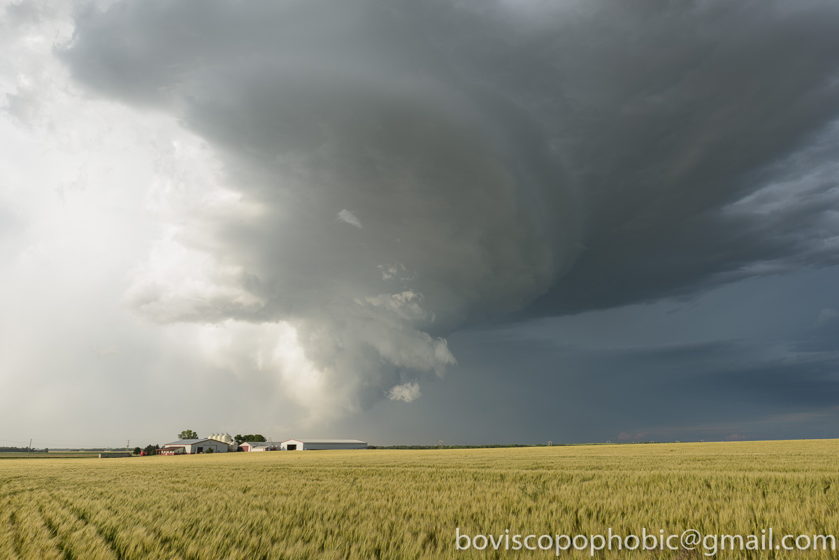
Morning - 08
20150608-DET_2996.jpg

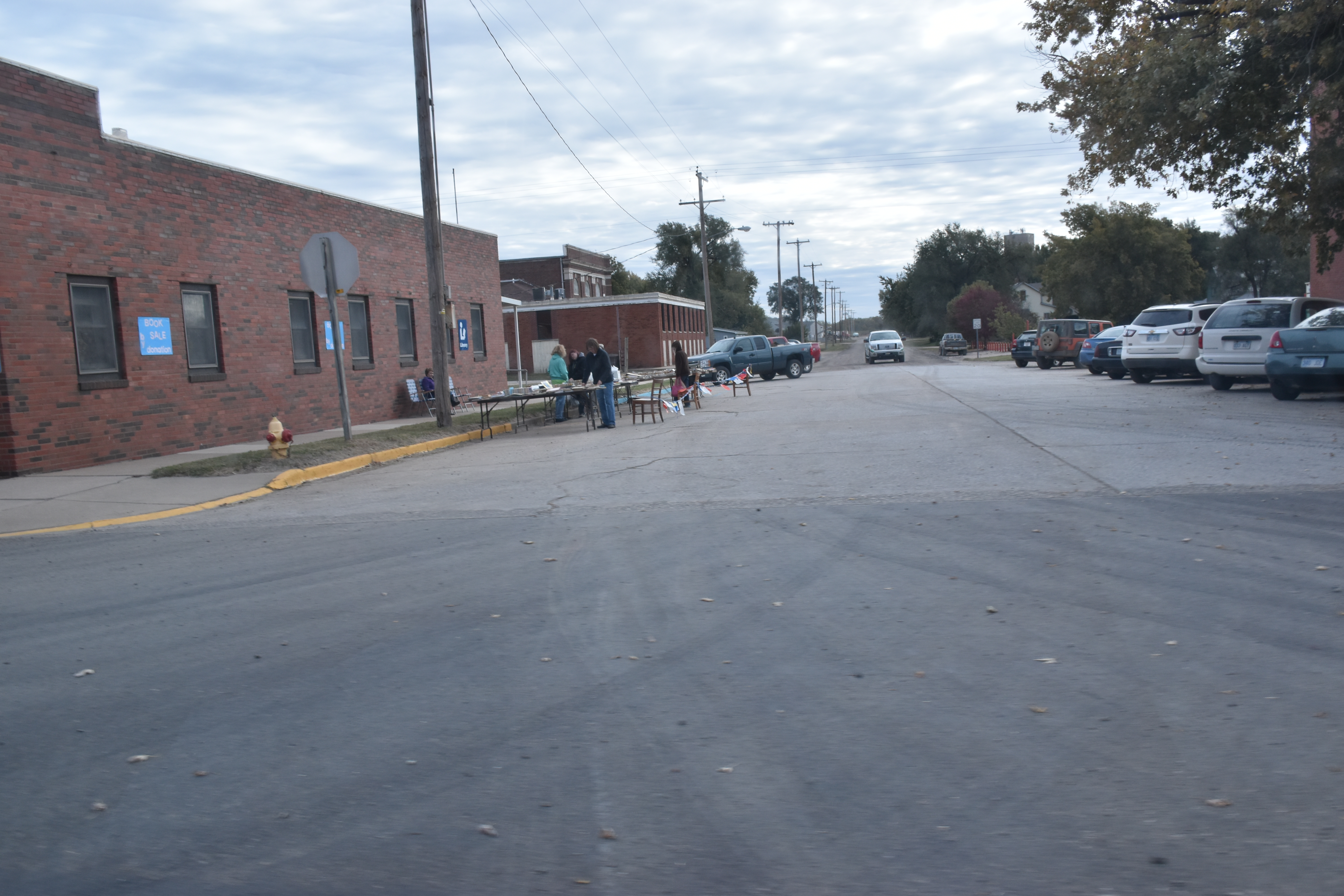
2015-10-17 10.31.18a

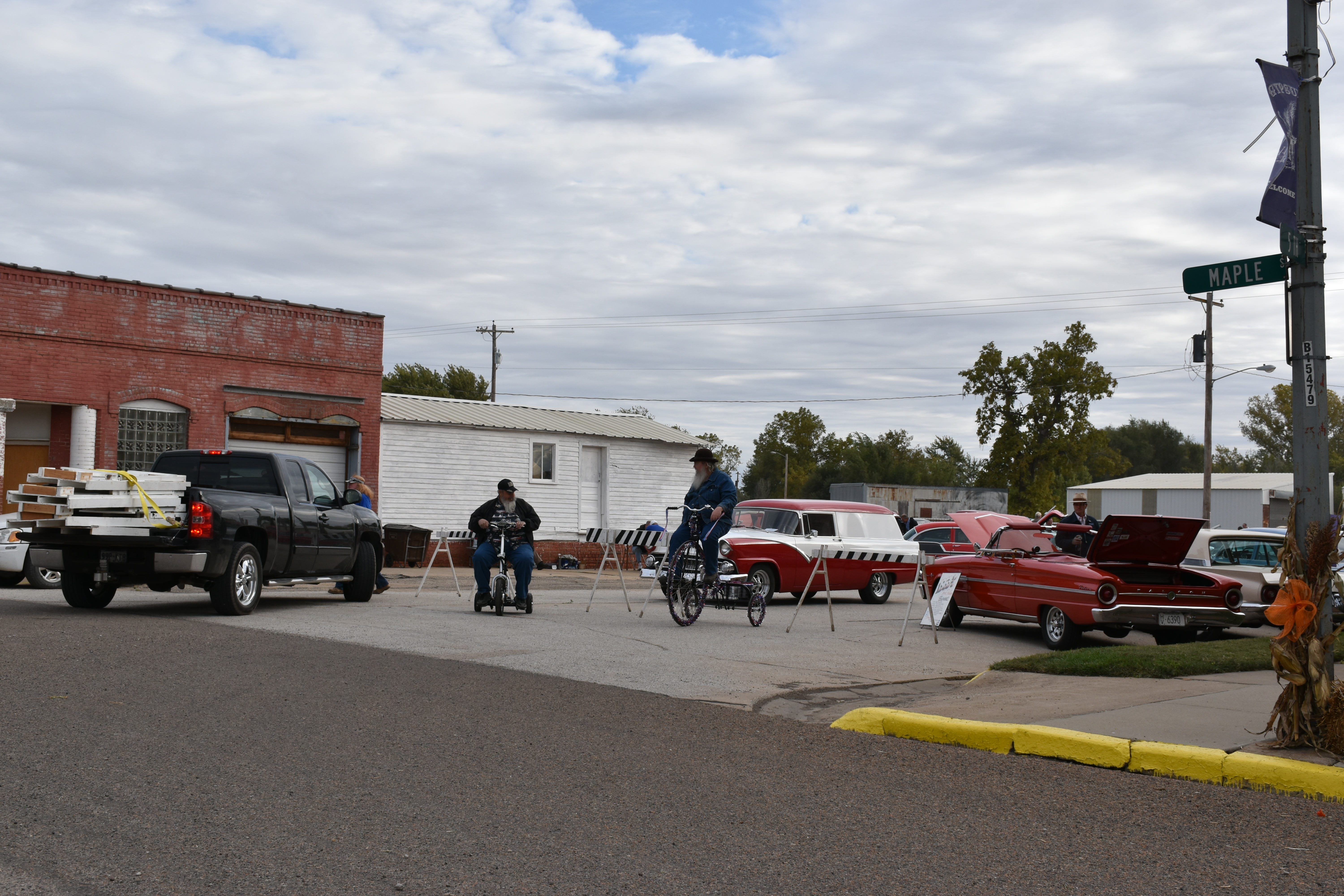
2015-10-17 11.12.45a

2015-10-17 10.07.04a

2015-10-17 09.51.57

2015-10-17 09.53.58

2015-10-17 09.54.00

2015-10-17 09.54.11
2015-10-17 09.54.17

2015-10-17 09.55.12
2015-10-17 09.55.16

2015-10-17 09.55.31

2015-10-17 09.56.22

2015-10-17 09.59.10

2015-10-17 09.59.19

2015-10-17 09.59.28

2015-10-17 09.59.53

2015-10-17 10.00.14

2015-10-17 10.07.04

2015-10-17 10.08.12

2015-10-17 10.17.17

2015-10-17 10.20.03
Topographic Map of Wheatland, KS, USA
Find elevation by address:

Places in Wheatland, KS, USA:
Places near Wheatland, KS, USA:
Eden Rd, Abilene, KS, USA
Eureka
Gypsum
Solomon
Fair Rd, Abilene, KS, USA
E Main St, Salina, KS, USA
Newbern
Lincoln
Solomon
Key Rd, Hope, KS, USA
W 5th St, Solomon, KS, USA
Dickinson County
Blaine
Abilene
N Buckeye Ave, Abilene, KS, USA
Ridge
Walnut
1st St, New Cambria, KS, USA
New Cambria
Hope
Recent Searches:
- Elevation of Corso Fratelli Cairoli, 35, Macerata MC, Italy
- Elevation of Tallevast Rd, Sarasota, FL, USA
- Elevation of 4th St E, Sonoma, CA, USA
- Elevation of Black Hollow Rd, Pennsdale, PA, USA
- Elevation of Oakland Ave, Williamsport, PA, USA
- Elevation of Pedrógão Grande, Portugal
- Elevation of Klee Dr, Martinsburg, WV, USA
- Elevation of Via Roma, Pieranica CR, Italy
- Elevation of Tavkvetili Mountain, Georgia
- Elevation of Hartfords Bluff Cir, Mt Pleasant, SC, USA