Elevation of Lick Creek Road, Lick Creek Rd, Kentucky, USA
Location: United States > Kentucky > Pulaski County >
Longitude: -84.355505
Latitude: 37.100164
Elevation: 261m / 856feet
Barometric Pressure: 98KPa
Elevation Map:
Satellite Map:
Related Photos:

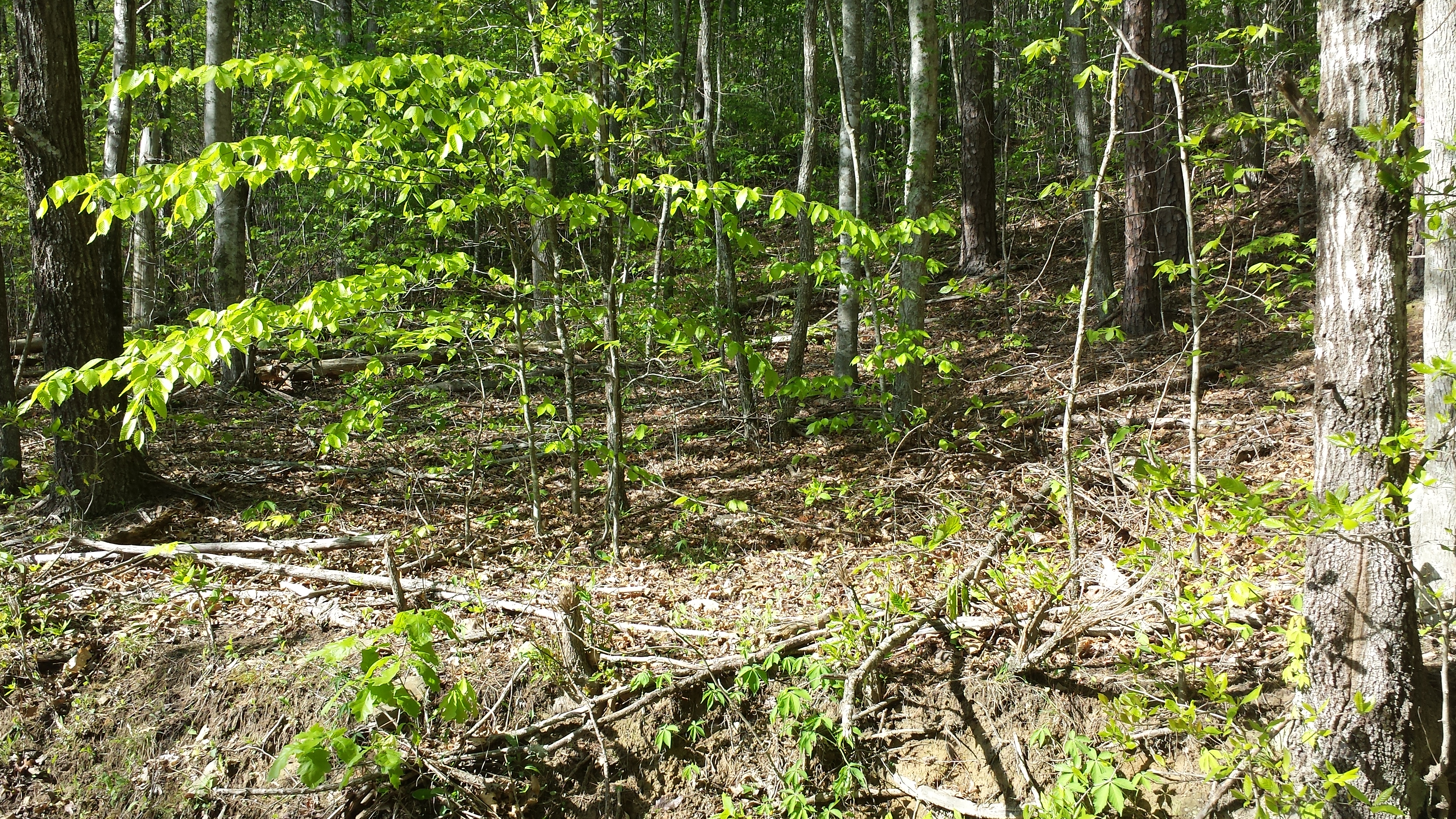
Leaf on Stones
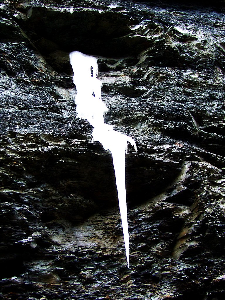
Flowing Ice..on the Side of the Highway

View of Sinking Creek foot bridge

Second waterfall on Pounder Branch

Van Hook Falls in its environment.

Van Hook Falls.

Third waterfall on Pounder Branch

sg-tr42-001

sslc-020

sslc-001

wcr2-002
wcr2-tr7-001

wcr2-002

wcr2-tr7-001

sslc-027

sslc-019

wcr2-tr7-006

sg-tr42-037

sslc-026

sg-tr42-003

wcr2-065

sg-tr42-002

sslc-007

wcr2-061
Topographic Map of Lick Creek Road, Lick Creek Rd, Kentucky, USA
Find elevation by address:

Places near Lick Creek Road, Lick Creek Rd, Kentucky, USA:
Laurel County
3702 Cabin Creek Rd
262 Cedar Point Dr
Keavy
Fields Ln, East Bernstadt, KY, USA
684 Pleasant View Rd
684 Pleasant View Rd
684 Pleasant View Rd
684 Pleasant View Rd
726 Pleasant View Rd
684 Pleasant View Rd
580 Woods Edge Dr
684 Pleasant View Rd
796 Glenview Rd
450 Aspen Dr
3612 E State Hwy 552
658 Mitchell Creek Rd
1486 Dean Hundley Rd
45 Lincoln Rd
74 Baker Rd
Recent Searches:
- Elevation of Corso Fratelli Cairoli, 35, Macerata MC, Italy
- Elevation of Tallevast Rd, Sarasota, FL, USA
- Elevation of 4th St E, Sonoma, CA, USA
- Elevation of Black Hollow Rd, Pennsdale, PA, USA
- Elevation of Oakland Ave, Williamsport, PA, USA
- Elevation of Pedrógão Grande, Portugal
- Elevation of Klee Dr, Martinsburg, WV, USA
- Elevation of Via Roma, Pieranica CR, Italy
- Elevation of Tavkvetili Mountain, Georgia
- Elevation of Hartfords Bluff Cir, Mt Pleasant, SC, USA