Elevation of Liberty, MS, USA
Location: United States > Mississippi > Amite County >
Longitude: -90.812324
Latitude: 31.1582312
Elevation: 102m / 335feet
Barometric Pressure: 100KPa
Elevation Map:
Satellite Map:
Related Photos:
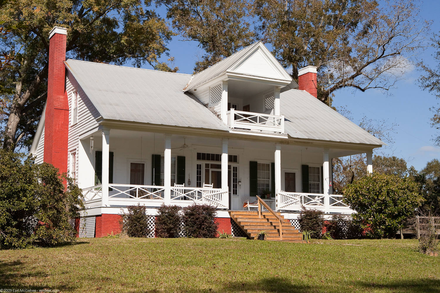
Ridley Beall House
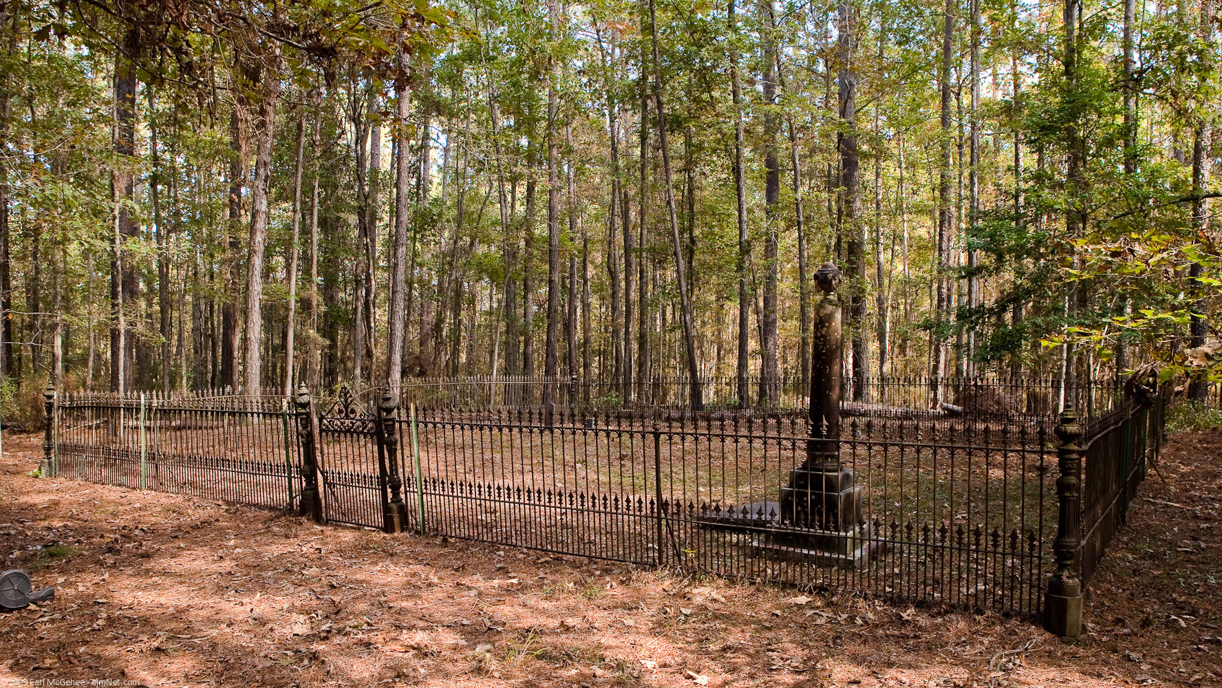
Family Cemetery
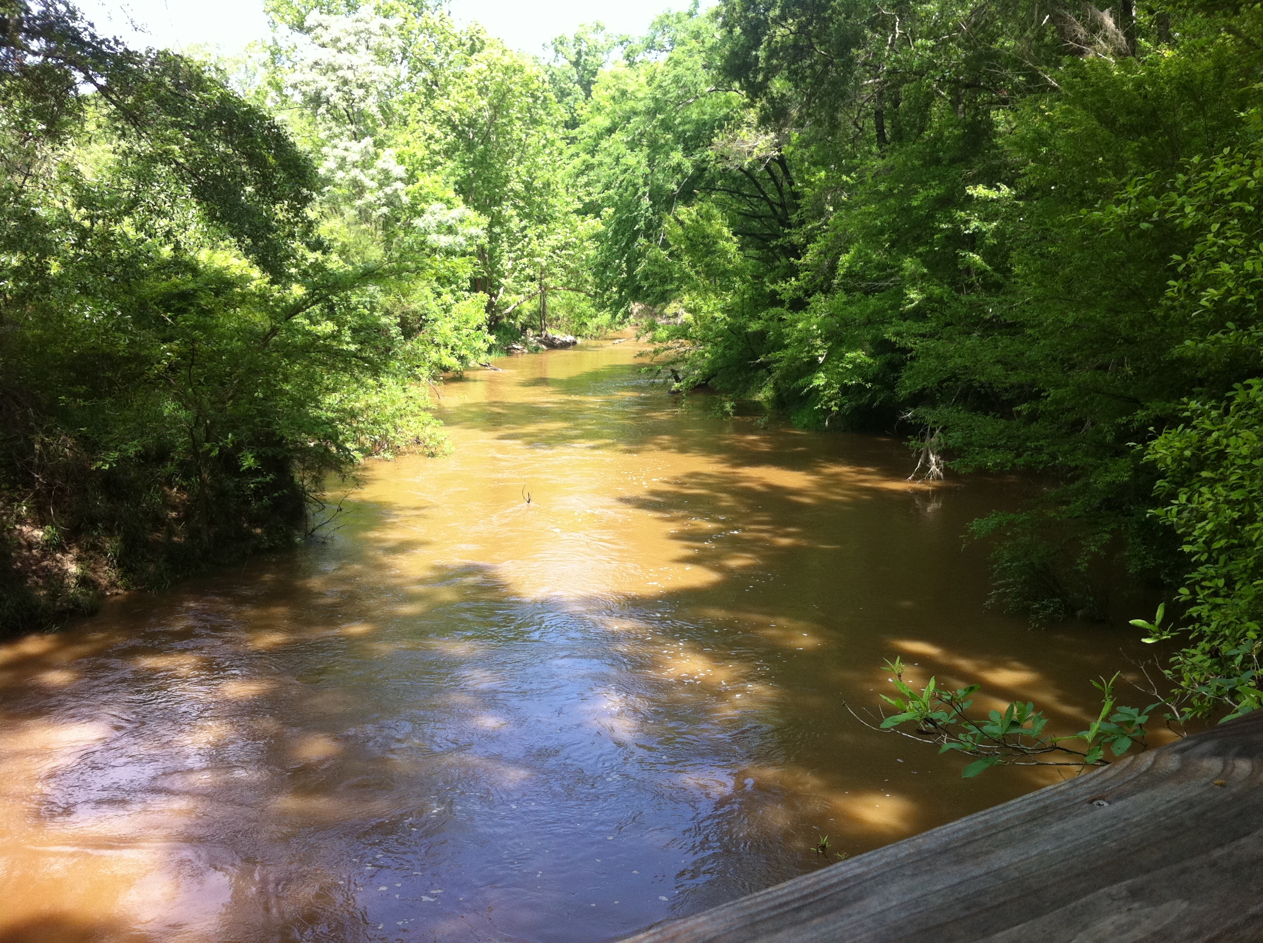
Amite River

Flooded Trail
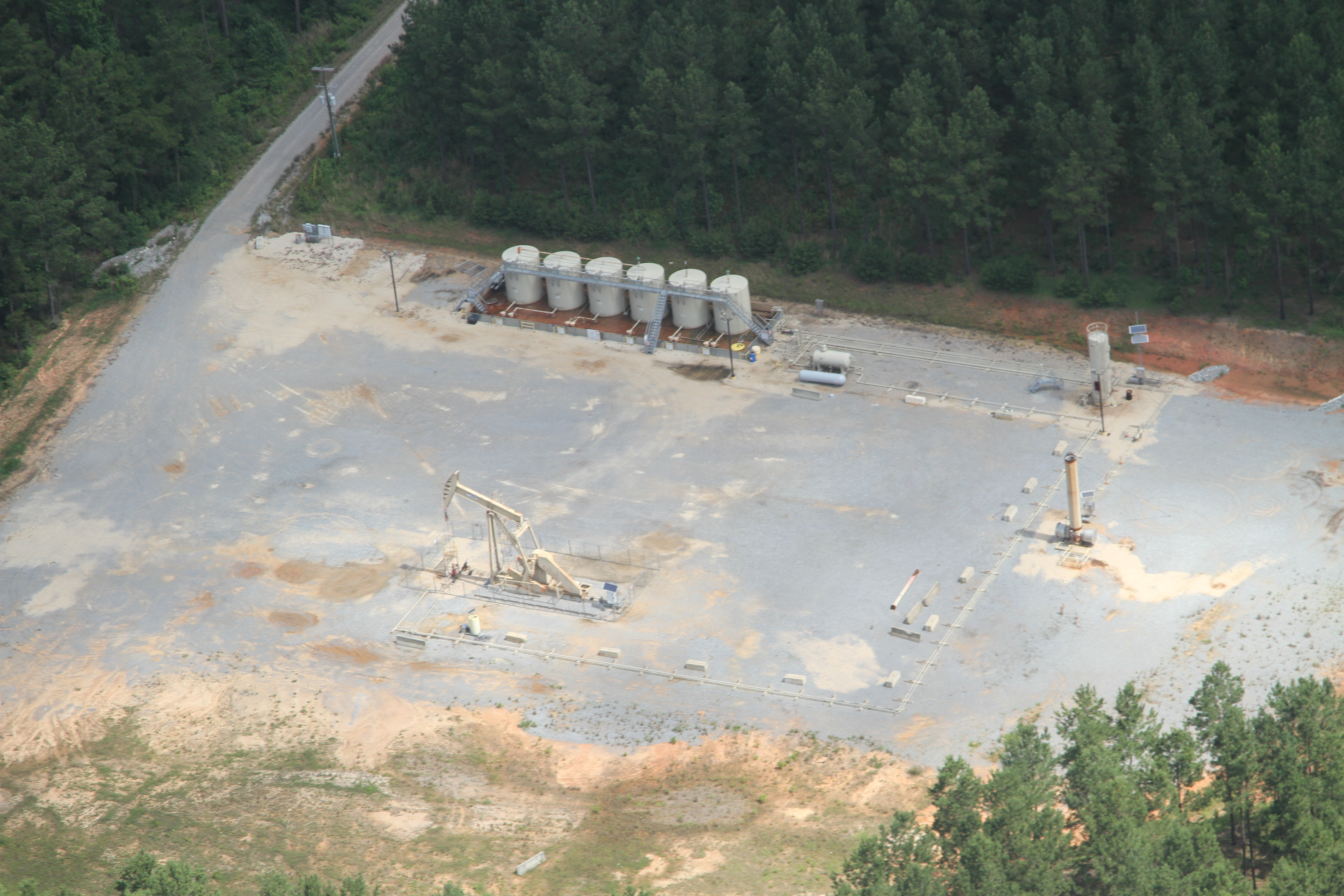
IMG_3225 encana
IMG_3243 encana
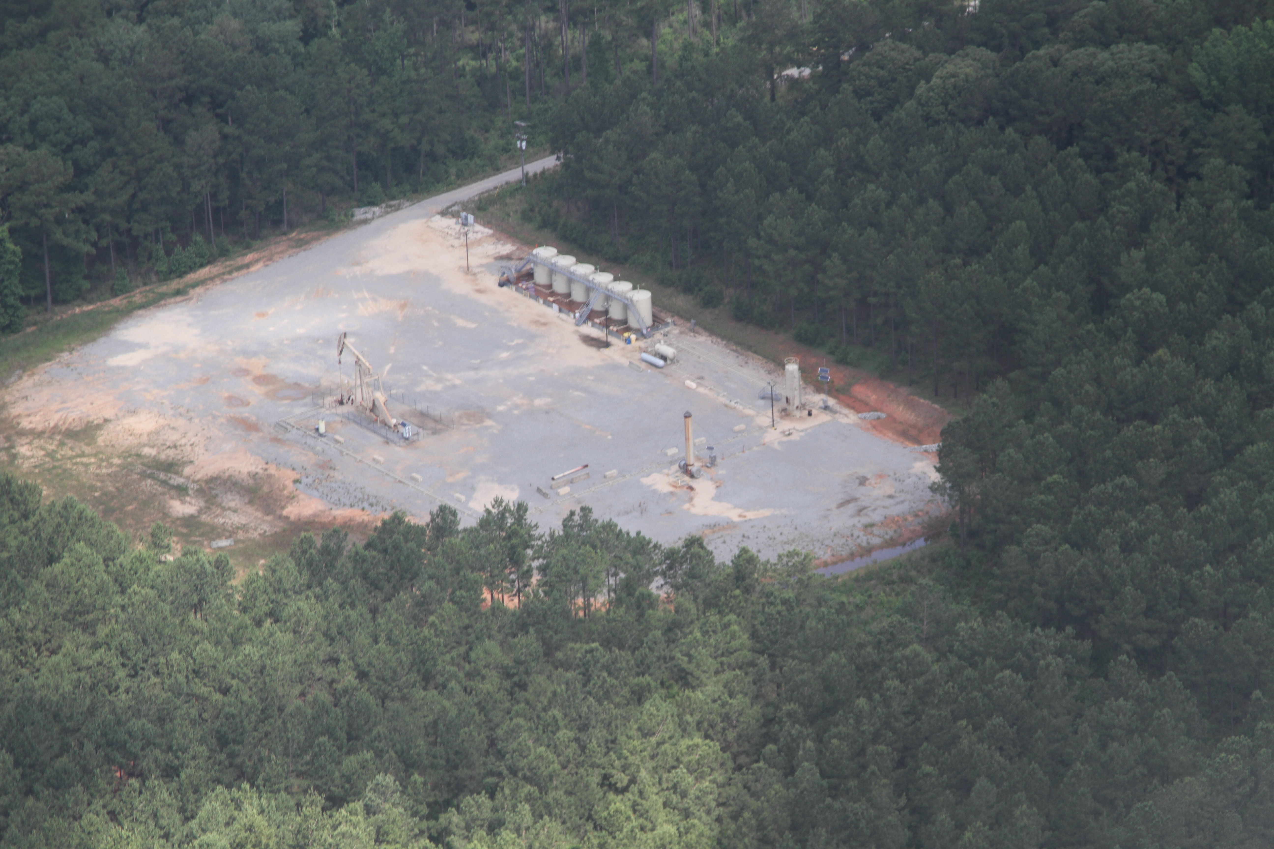
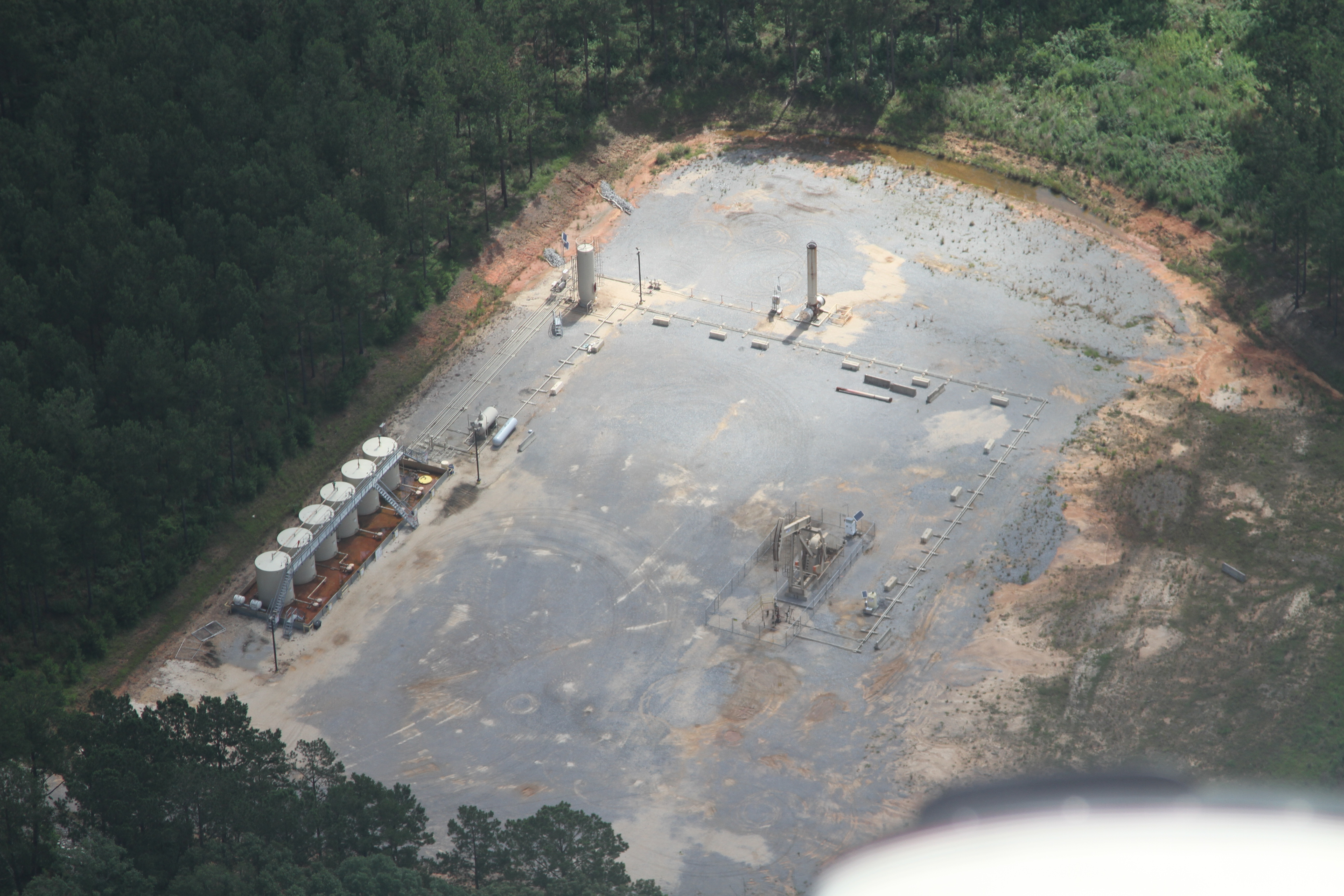
encana wellpad

Old GMC
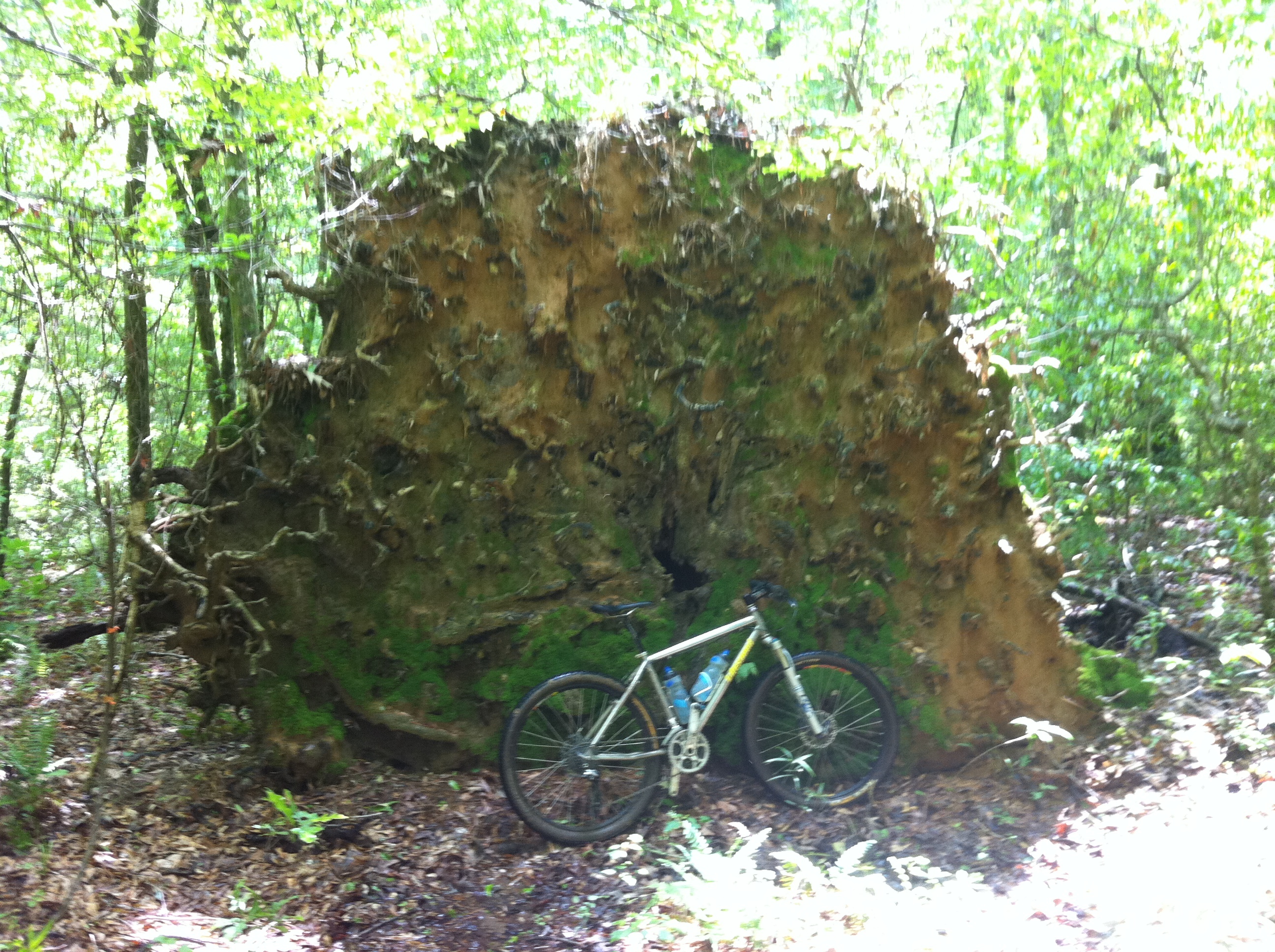
Massive Root Ball

Amite Overlook
Trail into the river
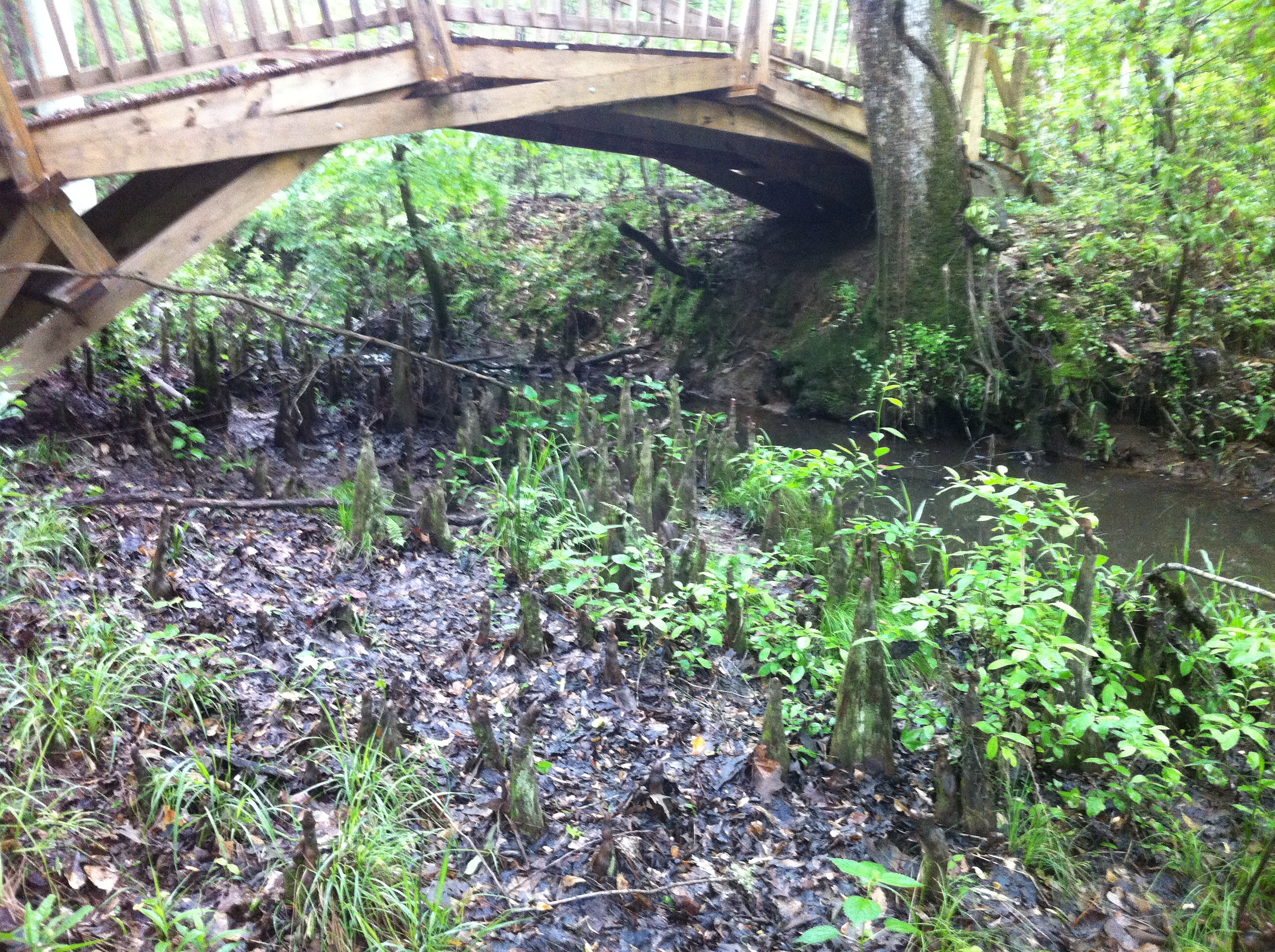
Cypress Knees

Knocked over stump

Ethel Vance Routes

Ethel Vance Trailhead

Ethel Vance Park Sign
Mississippi 92
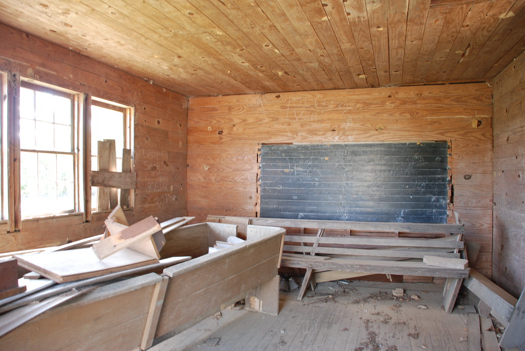
Garner Colored School, Amite County

Jerry Clower

Jerry Clower

Jerry Clower
Topographic Map of Liberty, MS, USA
Find elevation by address:

Places in Liberty, MS, USA:
N Greensburg Rd, Liberty, MS, USA
3785a
Lower Centreville Rd, Liberty, MS, USA
Schoby Rd, Liberty, MS, USA
Places near Liberty, MS, USA:
111 Washington St
154 Broken St
Amite County
3785a
Schoby Rd, Liberty, MS, USA
Lower Centreville Rd, Liberty, MS, USA
N Greensburg Rd, Liberty, MS, USA
Berwick Cassels Rd, Gloster, MS, USA
5503 Ms-568
5678 Ms-568
Mckinley Hurst Lane
508 Union St
Gloster
632 W Railroad Ave
1, LA, USA
Centreville
501 Carter St
2074 Magnolia Pisgah Rd
Percy Quin Drive
1023 Chesterfield Dr
Recent Searches:
- Elevation of Corso Fratelli Cairoli, 35, Macerata MC, Italy
- Elevation of Tallevast Rd, Sarasota, FL, USA
- Elevation of 4th St E, Sonoma, CA, USA
- Elevation of Black Hollow Rd, Pennsdale, PA, USA
- Elevation of Oakland Ave, Williamsport, PA, USA
- Elevation of Pedrógão Grande, Portugal
- Elevation of Klee Dr, Martinsburg, WV, USA
- Elevation of Via Roma, Pieranica CR, Italy
- Elevation of Tavkvetili Mountain, Georgia
- Elevation of Hartfords Bluff Cir, Mt Pleasant, SC, USA