Elevation of Carter St, Centreville, MS, USA
Location: United States > Mississippi > Wilkinson County > Centreville >
Longitude: -91.074000
Latitude: 31.0885241
Elevation: 110m / 361feet
Barometric Pressure: 100KPa
Elevation Map:
Satellite Map:
Related Photos:

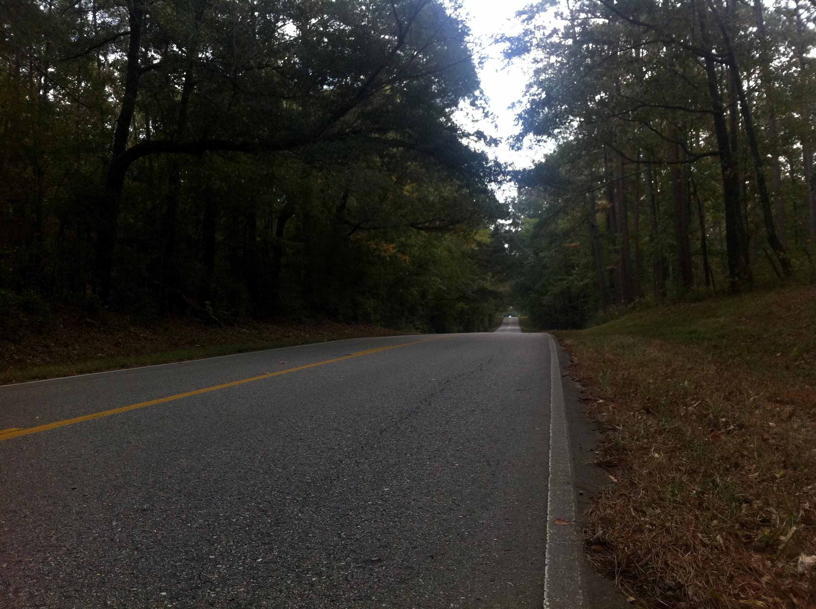
morning light
View of the day
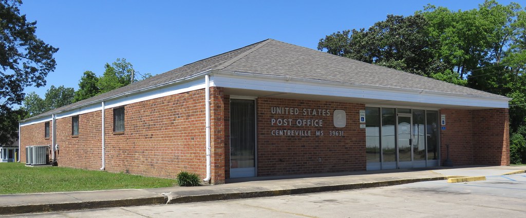
Post Office 39631 (Centreville, Mississippi)
Mississippi 320
Mississippi 319

Old GMC

Go Yellow Jacket :-)
East Feliciana 03
Mississippi 90
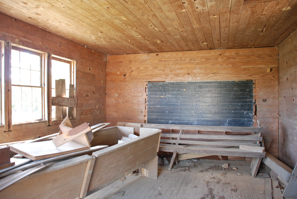
Garner Colored School, Amite County

Twin Oaks

Gloster Arboretum
Abandoned, Gloster, Mississippi
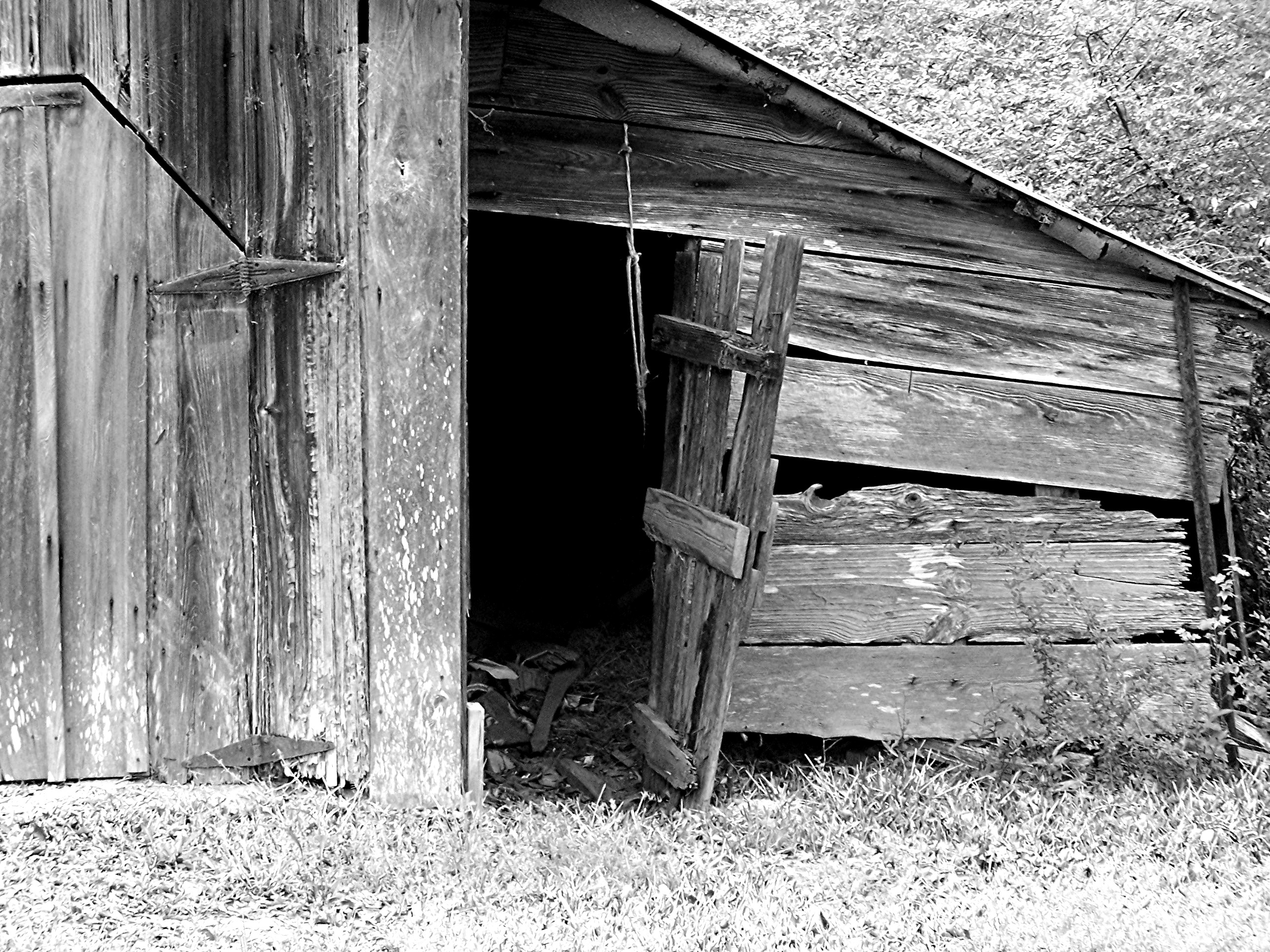
Barn (b/w)
Topographic Map of Carter St, Centreville, MS, USA
Find elevation by address:

Places near Carter St, Centreville, MS, USA:
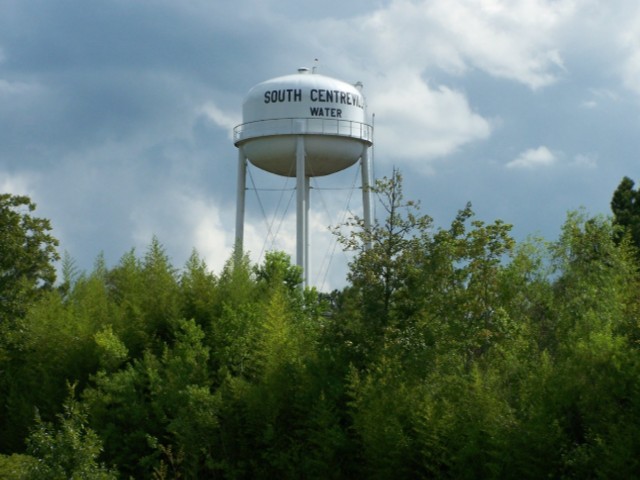
Centreville
632 W Railroad Ave
508 Union St
Gloster
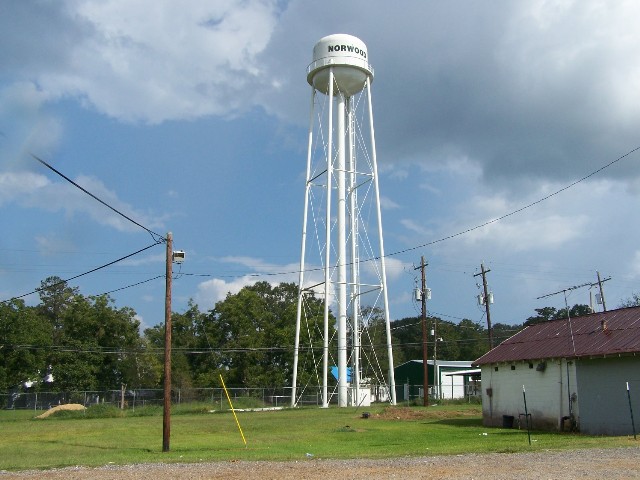
Norwood
7, LA, USA
Schoby Rd, Liberty, MS, USA
Lower Centreville Rd, Liberty, MS, USA
Berwick Cassels Rd, Gloster, MS, USA
533 Thompson Creek Rd
Tommy Whitaker Road
3785a
Woodville
Main St, Woodville, MS, USA
Wilkinson County
Amite County
Liberty
111 Washington St
MS-24, Woodville, MS, USA
154 Broken St
Recent Searches:
- Elevation of Corso Fratelli Cairoli, 35, Macerata MC, Italy
- Elevation of Tallevast Rd, Sarasota, FL, USA
- Elevation of 4th St E, Sonoma, CA, USA
- Elevation of Black Hollow Rd, Pennsdale, PA, USA
- Elevation of Oakland Ave, Williamsport, PA, USA
- Elevation of Pedrógão Grande, Portugal
- Elevation of Klee Dr, Martinsburg, WV, USA
- Elevation of Via Roma, Pieranica CR, Italy
- Elevation of Tavkvetili Mountain, Georgia
- Elevation of Hartfords Bluff Cir, Mt Pleasant, SC, USA