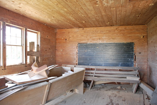
Elevation of Amite County, MS, USA
Location: United States > Mississippi >
Longitude: -90.829400
Latitude: 31.1683803
Elevation: 114m / 374feet
Barometric Pressure: 100KPa
Related Photos:
Topographic Map of Amite County, MS, USA
Find elevation by address:

Places in Amite County, MS, USA:
Places near Amite County, MS, USA:
Liberty
154 Broken St
111 Washington St
3785a
Schoby Rd, Liberty, MS, USA
Lower Centreville Rd, Liberty, MS, USA
Berwick Cassels Rd, Gloster, MS, USA
N Greensburg Rd, Liberty, MS, USA
508 Union St
Gloster
632 W Railroad Ave
5503 Ms-568
5678 Ms-568
Mckinley Hurst Lane
1, LA, USA
Centreville
501 Carter St
2074 Magnolia Pisgah Rd
7, LA, USA
Percy Quin Drive
Recent Searches:
- Elevation of Corso Fratelli Cairoli, 35, Macerata MC, Italy
- Elevation of Tallevast Rd, Sarasota, FL, USA
- Elevation of 4th St E, Sonoma, CA, USA
- Elevation of Black Hollow Rd, Pennsdale, PA, USA
- Elevation of Oakland Ave, Williamsport, PA, USA
- Elevation of Pedrógão Grande, Portugal
- Elevation of Klee Dr, Martinsburg, WV, USA
- Elevation of Via Roma, Pieranica CR, Italy
- Elevation of Tavkvetili Mountain, Georgia
- Elevation of Hartfords Bluff Cir, Mt Pleasant, SC, USA
