Elevation of Lewis, WV, USA

Location: United States > West Virginia > Mason County >

Longitude: -82.09518

Latitude: 38.8556283

Elevation: 261m / 856feet

Barometric Pressure: 98KPa

Elevation Map:

elevation map of Lewis, WV, USA

Satellite Map:

Satellite map of Lewis, WV, USA

Related Photos:

square squareformat iphoneography instagramapp uploaded:by=instagram
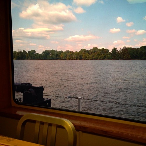
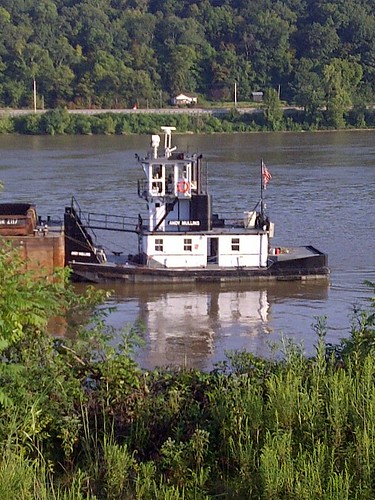
Had lunch with a view! #galley #boat #lovemyjob
ohio night river point pleasant towboat
Mountain State
ohio monument water river landscape nikon d70s sigma battle wv westvirginia 1020mm pointpleasant
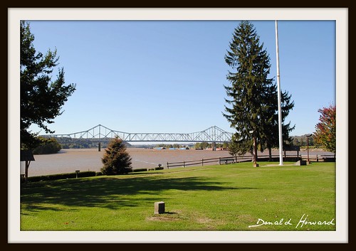
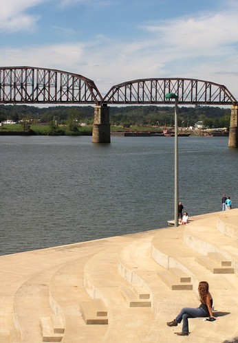
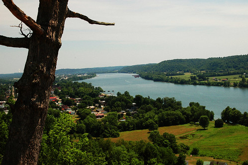
Ohio River from Tu-Endie-Wei State Park
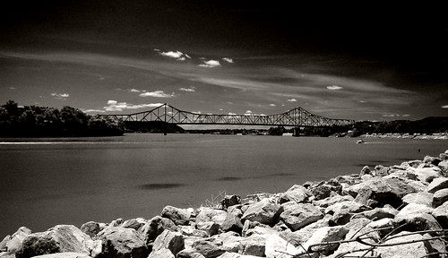
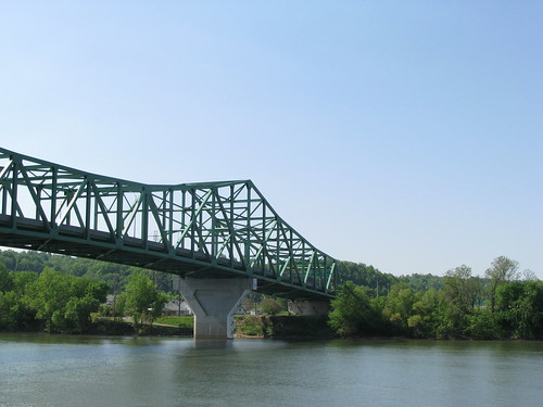
statepark bridge vacation river highway scenic roadtrip westvirginia americana 2008 ohioriver pointpleasant kanawhariver bartowjonesbridge westvirginia2 tuendieweipointpleasantbattlemonumentstatepark
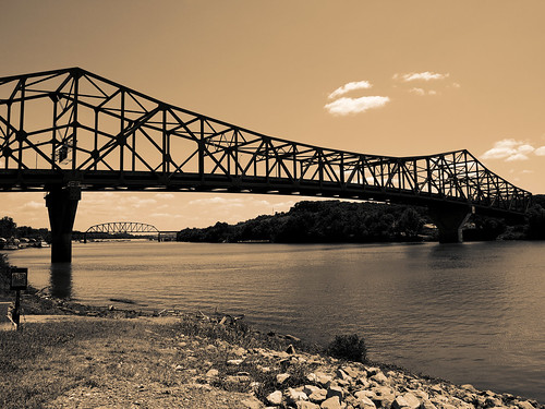
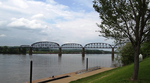
Point Pleasant's less famous bridge
ohio barn
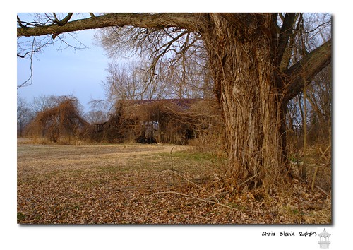
An old barn in Cheshire Ohio
ohio nature landscape geotagged geo:lat=388001343333332 geo:lon=822196589999997
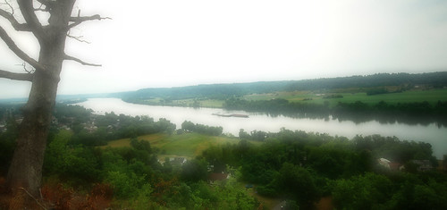
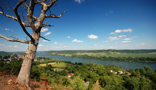
Ohio River near Fortification Hill - Gallipolis Ohio
west virginia
100-2255
New wing at Point Pleasant HS
west virginia
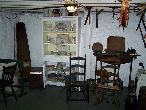
Basement Kitchen
instagramapp square squareformat iphoneography uploaded:by=instagram amaro
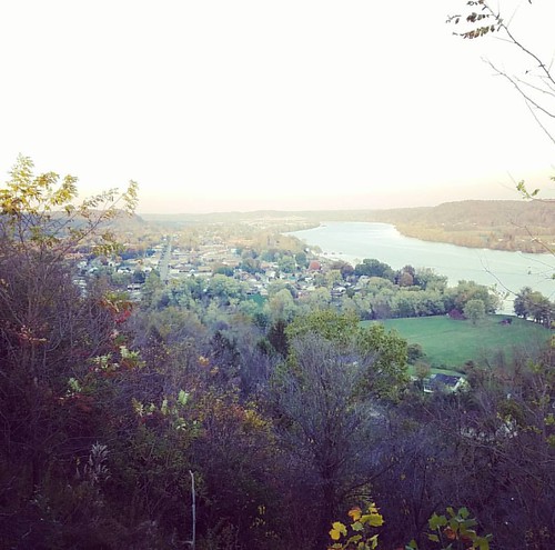
The best view of gallipolis. I love this place. Took Tyler up and he was amazed. And he enjoyed looking at the grave markers and seeing that Bob Evans has the best resting place over everyone, looking out over the river.
trees light red sky orange color abandoned nature silhouette horizontal architecture night dark stars outdoors us glow darkness unitedstates nobody westvirginia astrophotography dome astronomy derelict startrails fireflies pointpleasant masoncounty mcclintock lightningbugs tntarea
Igloo Sky Glow
square squareformat ludwig iphoneography instagramapp uploaded:by=instagram
One of my favorite views in the world. It never gets old.
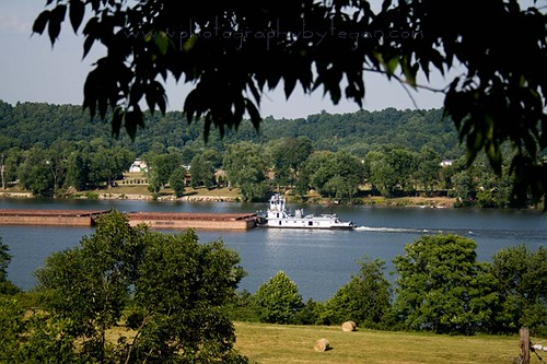
life camera photography yahoo flickr tegan photographybytegan
Ohio River
flood ohioriver hipstamatic
Under Water
landscape lightening 2012 gallipolis 8mmfisheye ohiohikerphotography
Summer Storm - {Explored #47}
westvirginia fields countryroads mountainstate
Fields and Mountain Ranges #westvirginia #countryroads #mountainstate #fields
square squareformat iphoneography instagramapp uploaded:by=instagram
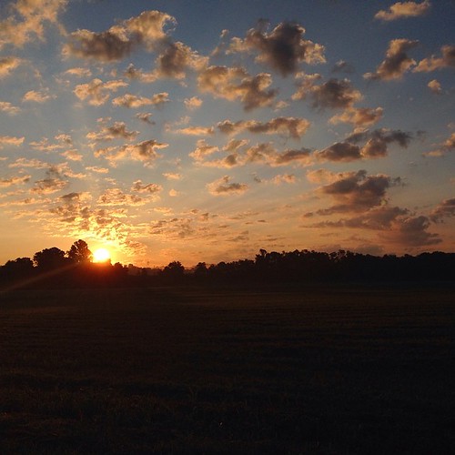
What a beautiful #sunrise
Picture 1241
ohio bw cemetery canon landscape americanflag blckandwhite gallipolis ruralohio hf10
Mound Hill Cemetery 4
bridge ohio panorama water river olympus wv westvirginia kanawha perfectpanoramas e410 pointpleasanr landscazpe
Point Pleasant, WV Panorama
bridge water river landscape olympus wv westvirginia pointpleasant kanawha e410
Kanawha River from Tu-Endie-Wei State Park
cheshireohio uploaded:by=flickrmobile flickriosapp:filter=nofilter
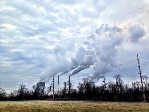
Natural and man made clouds
westvirginia mothman pointpleasant
IMG_3936 copy
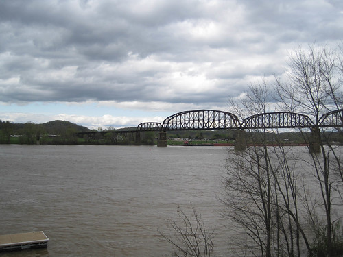
bridge westvirginia ohioriver pointpleasantwv pointpleasant masoncounty
Ohio River IMG_2229
mobile blackberry
Gallipolis-20130823-00271.jpg
ohio panorama nature landscape geotagged nikon d70s wv civilwar westvirginia ohioriver perfectpanoramas gallipolis
Fortification Hill - Gallipolis, Ohio
ohio nature landscape ohioriver gallipolis utatafeature
Fortification Hill 3
sunset us wv westvirginia ohioriver pointpleasant
Sunset on the Ohio River
virginia westvirginia shawnee pointpleasantwestvirginia battleofpointpleasant lorddunmore lorddunmoreswar
Battle of Point Pleasant
masoncounty mississippiriver ohioriver pointpleasant rivers usa westvirginia unitedstates
Point Pleasant, WV
mothman pointpleasant silverbridge
Day 10: TNT Area
nature landscape geotagged geo:lat=388001707777776 geo:lon=822196206666672
Gallipolis Ohio